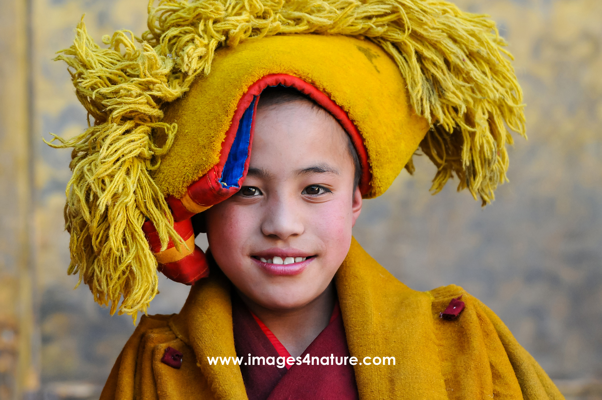

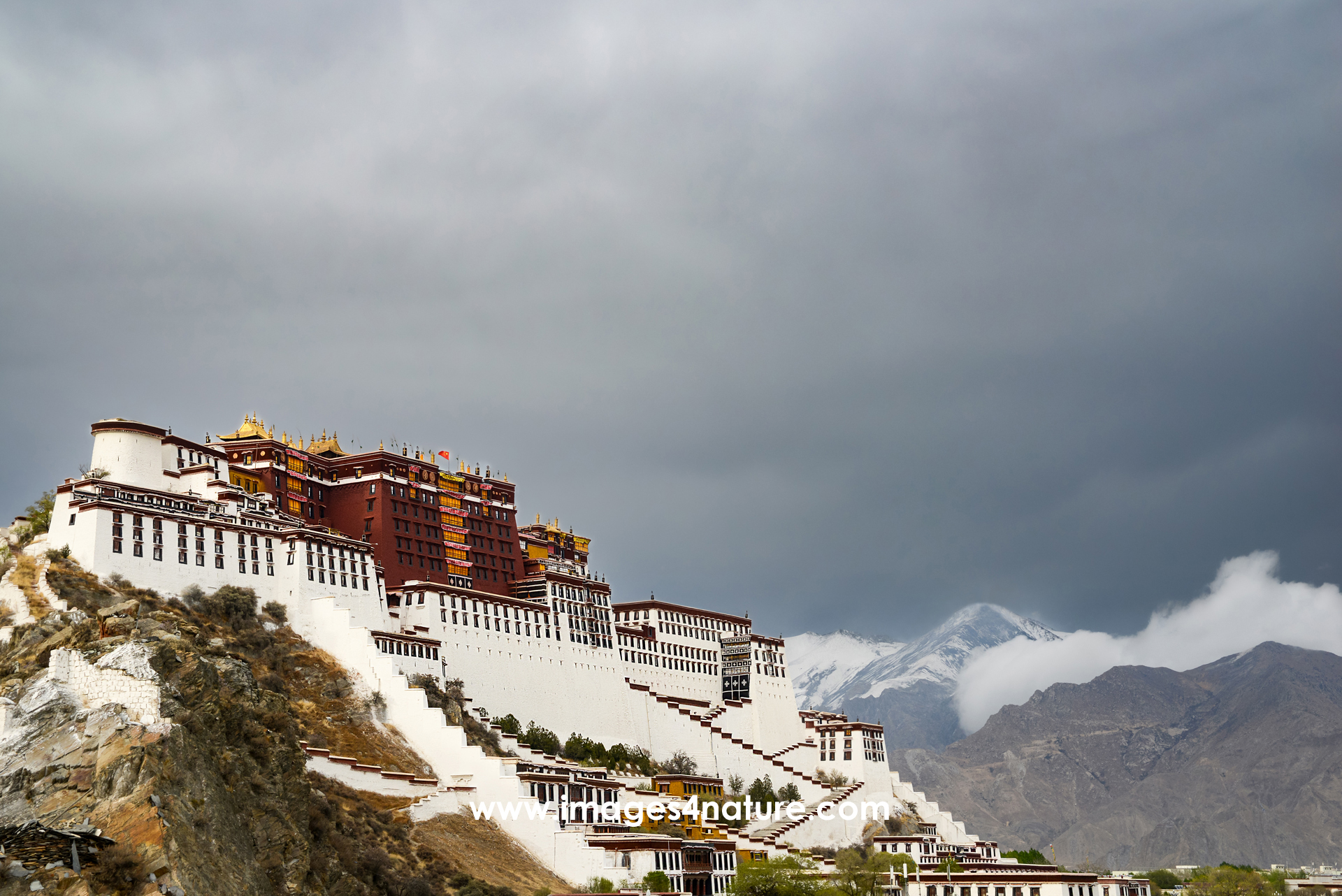

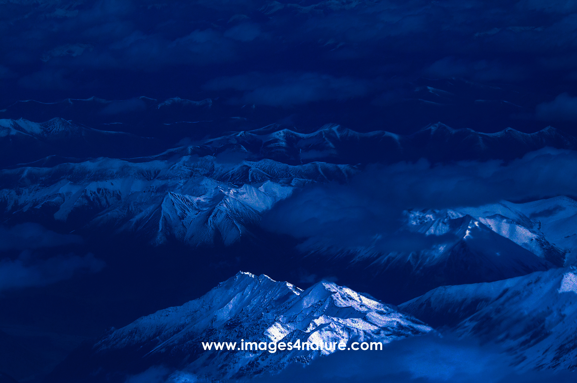

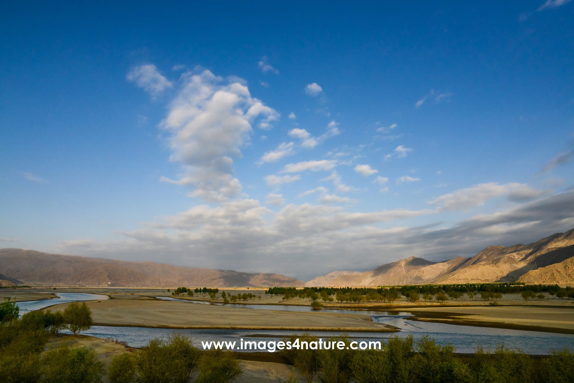

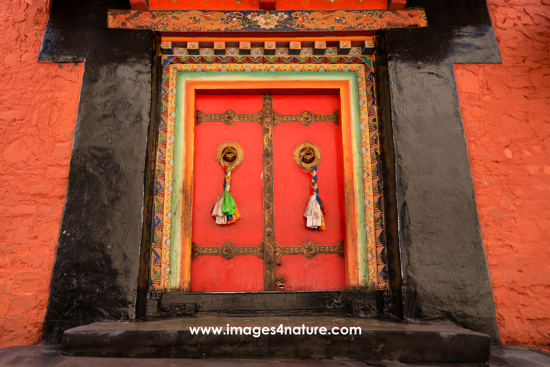

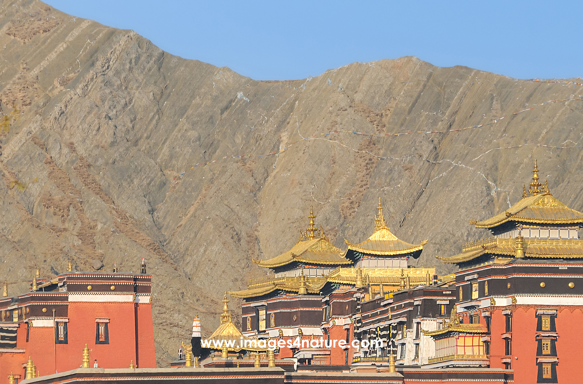

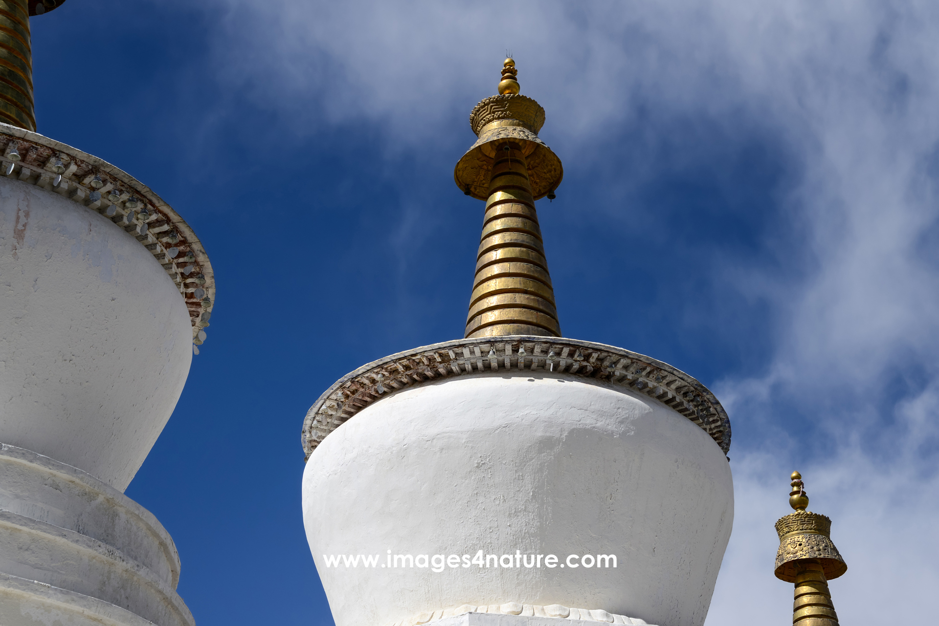

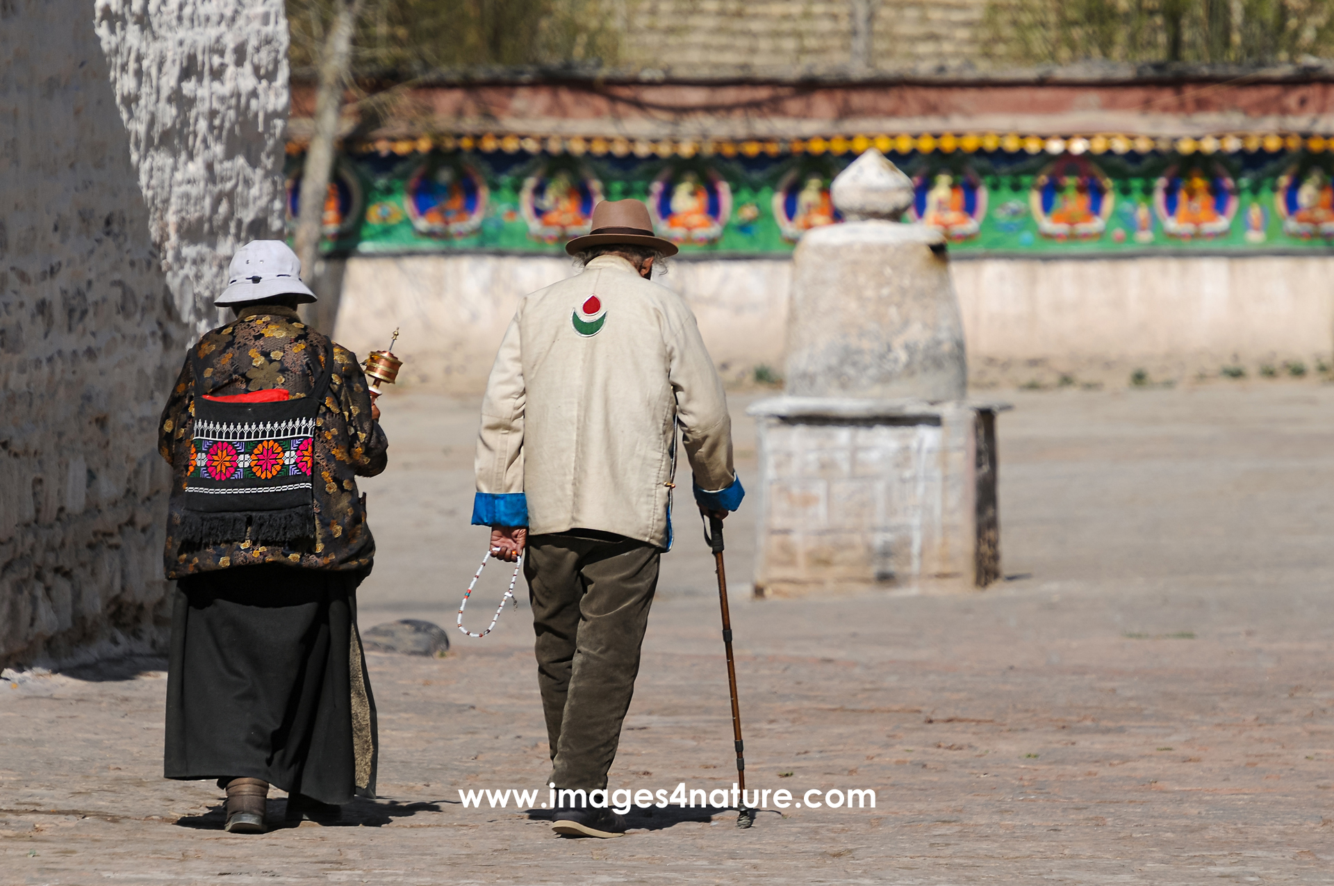

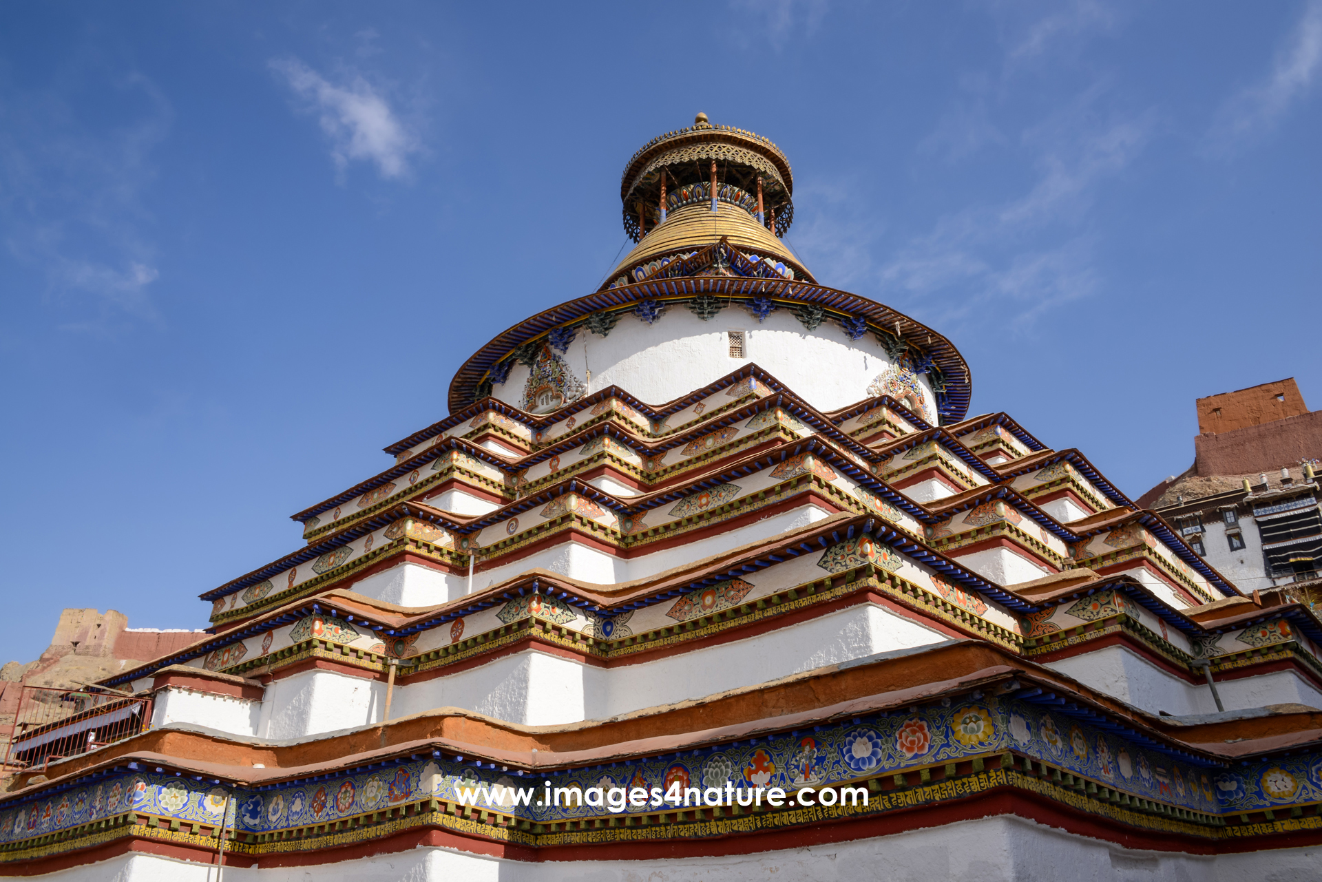

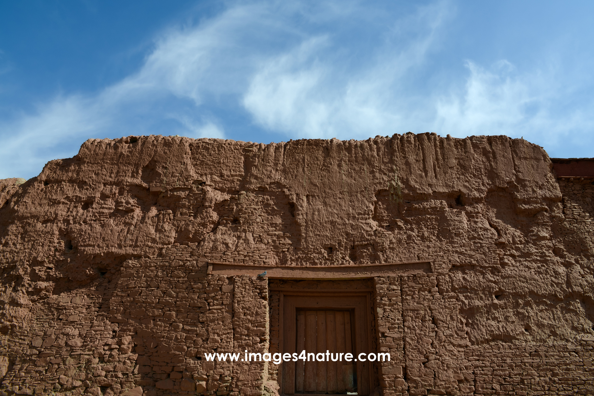

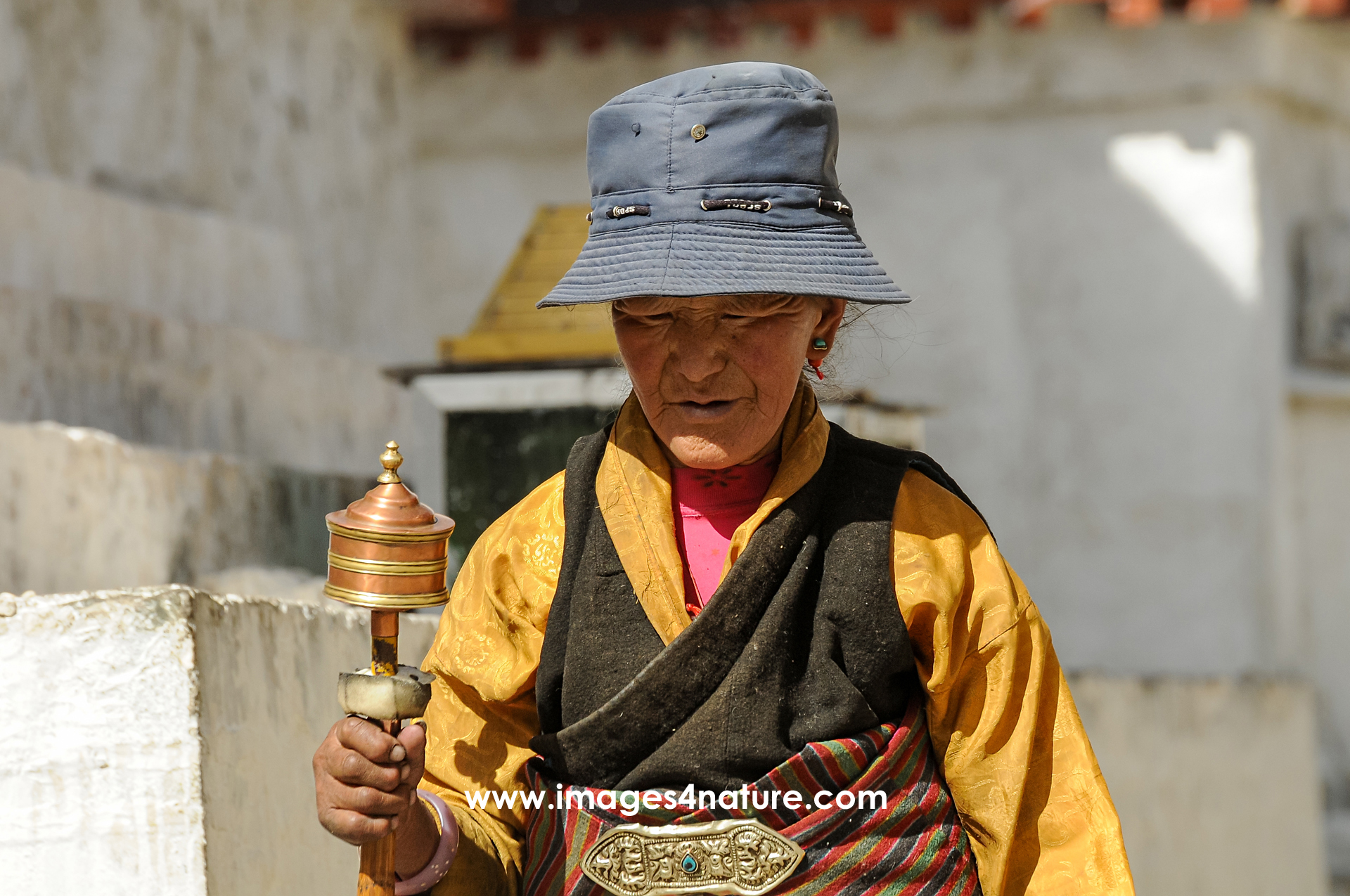

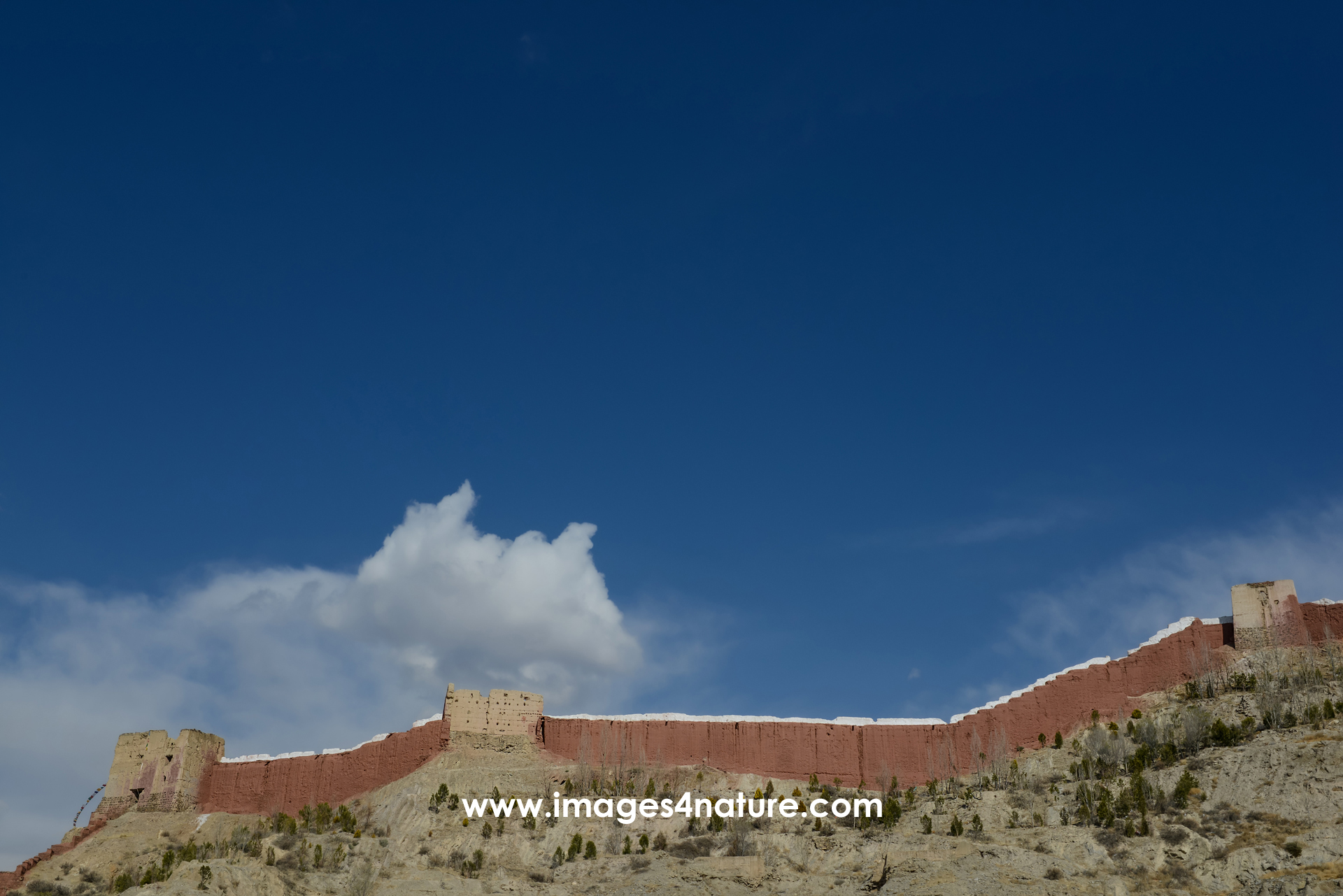

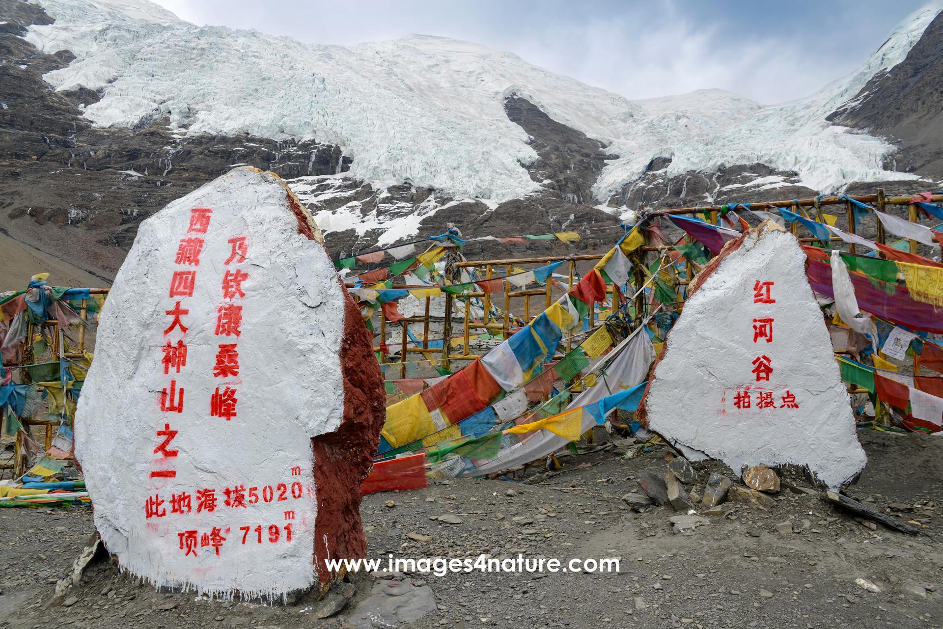

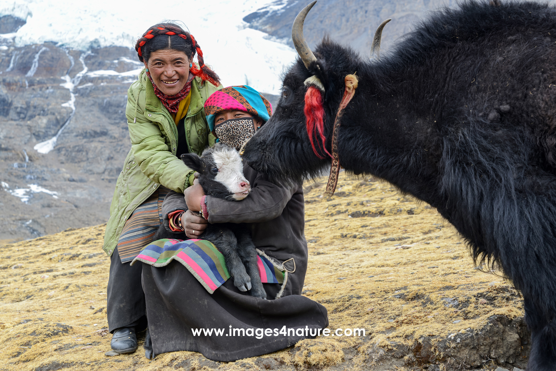

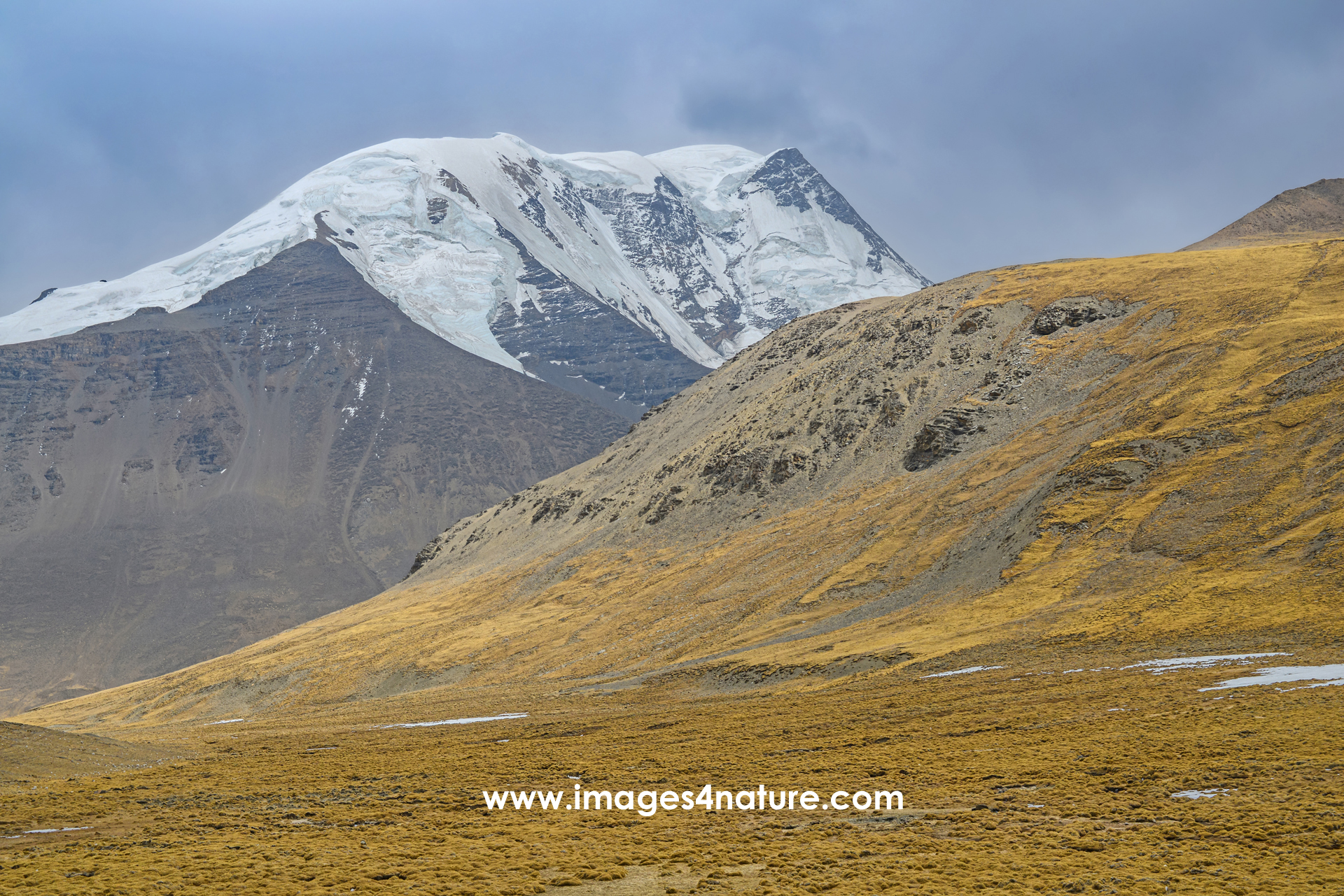

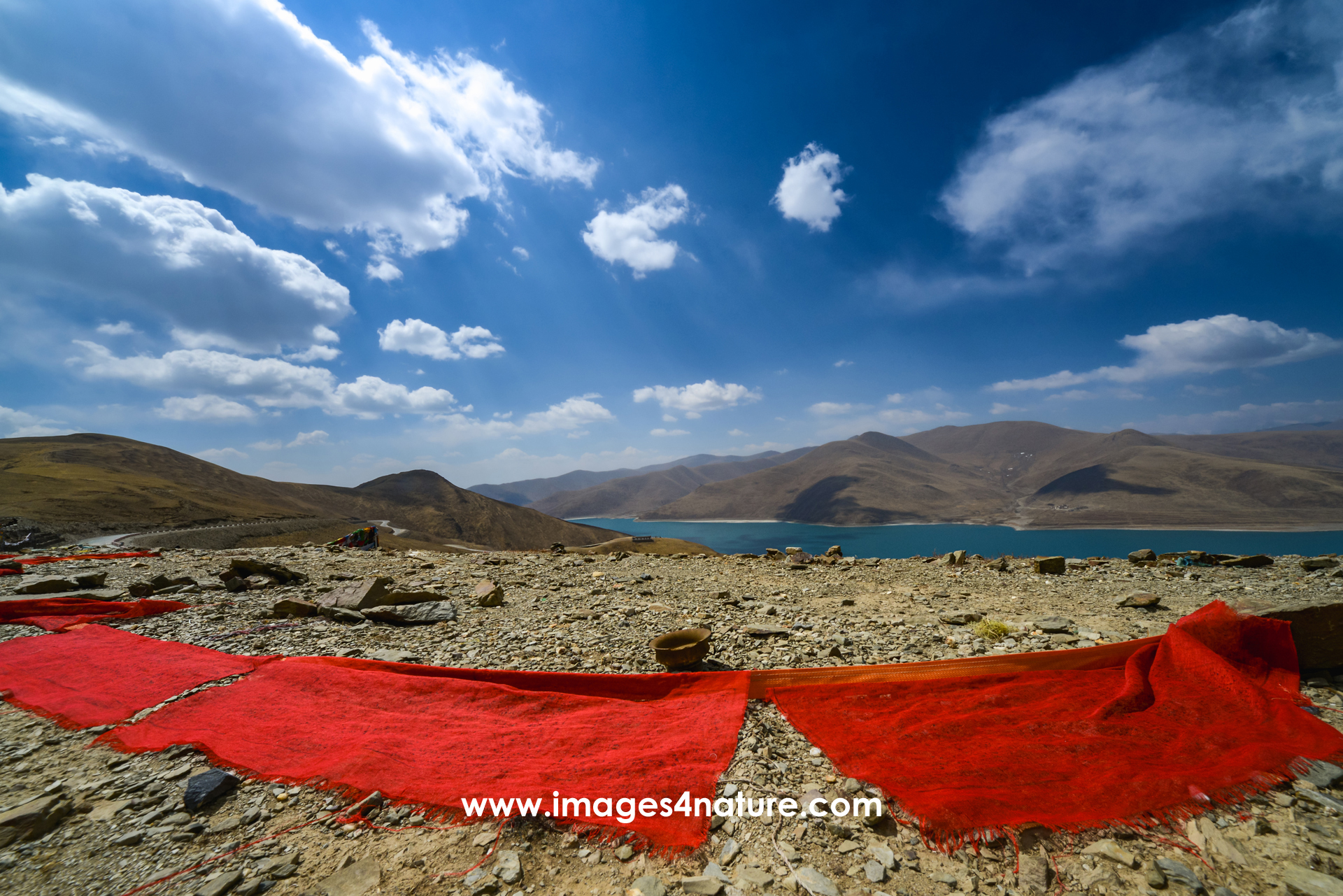

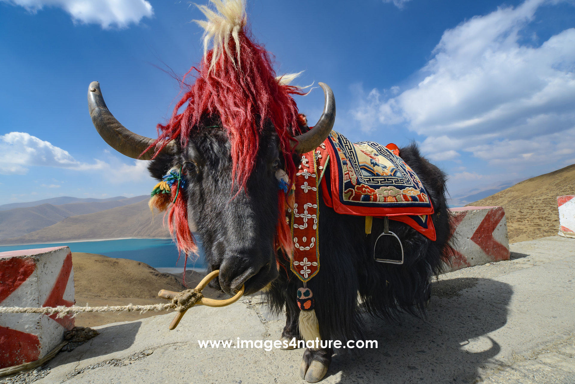

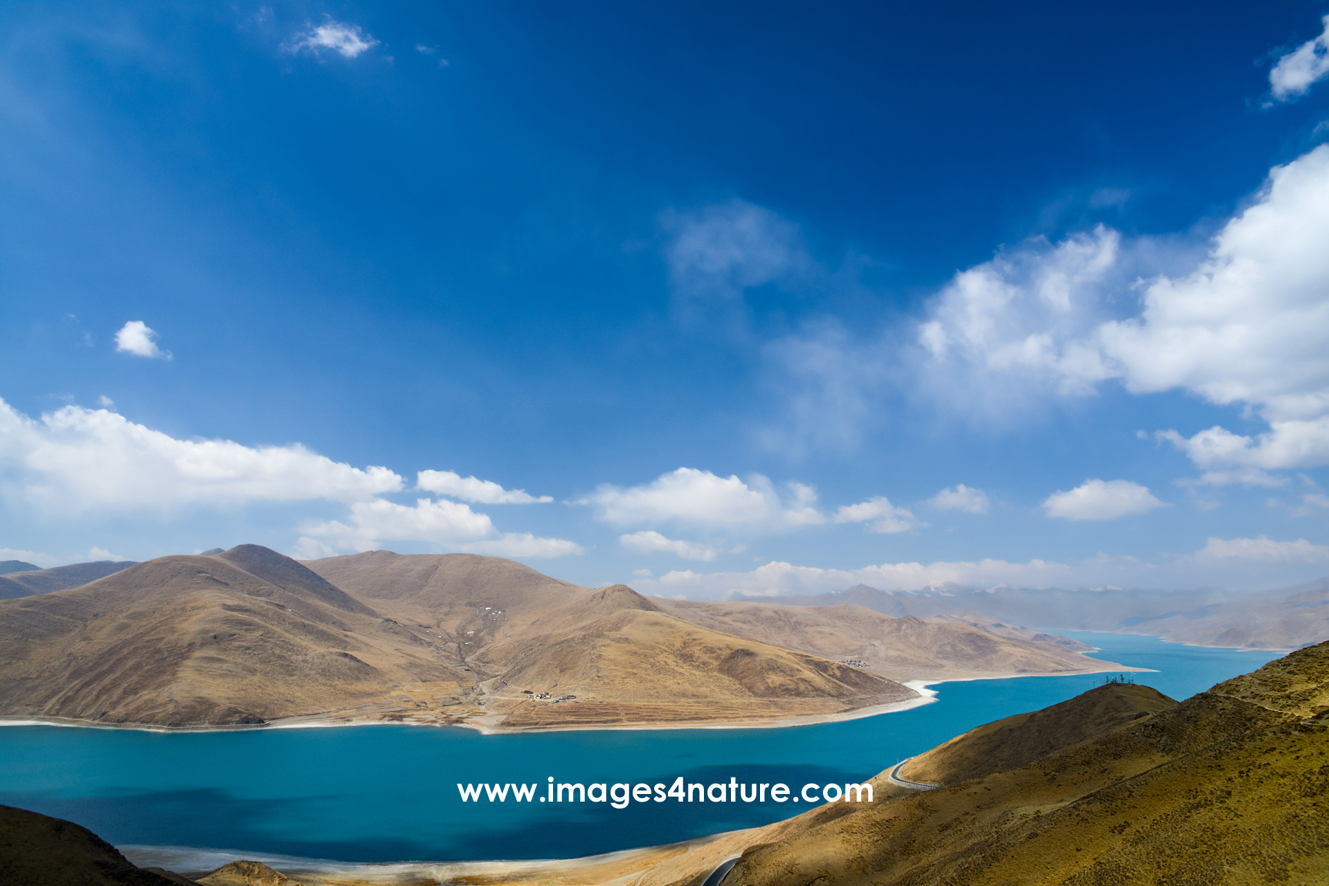

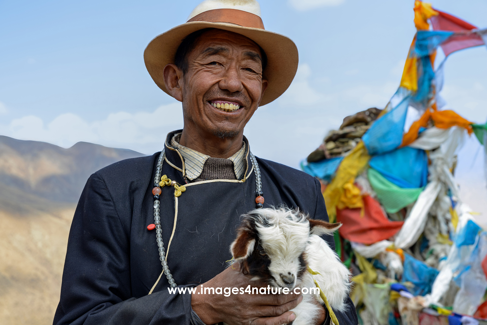

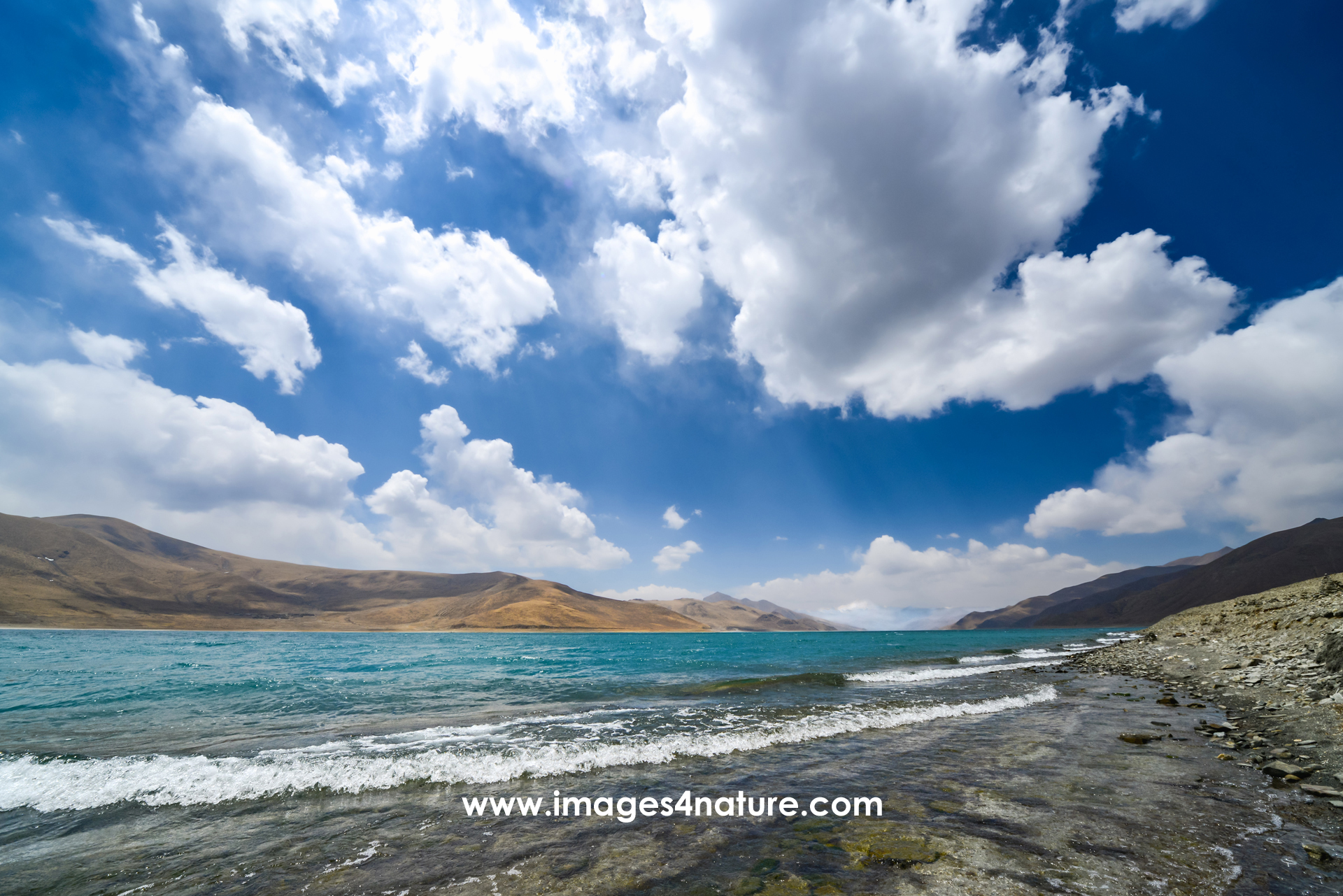

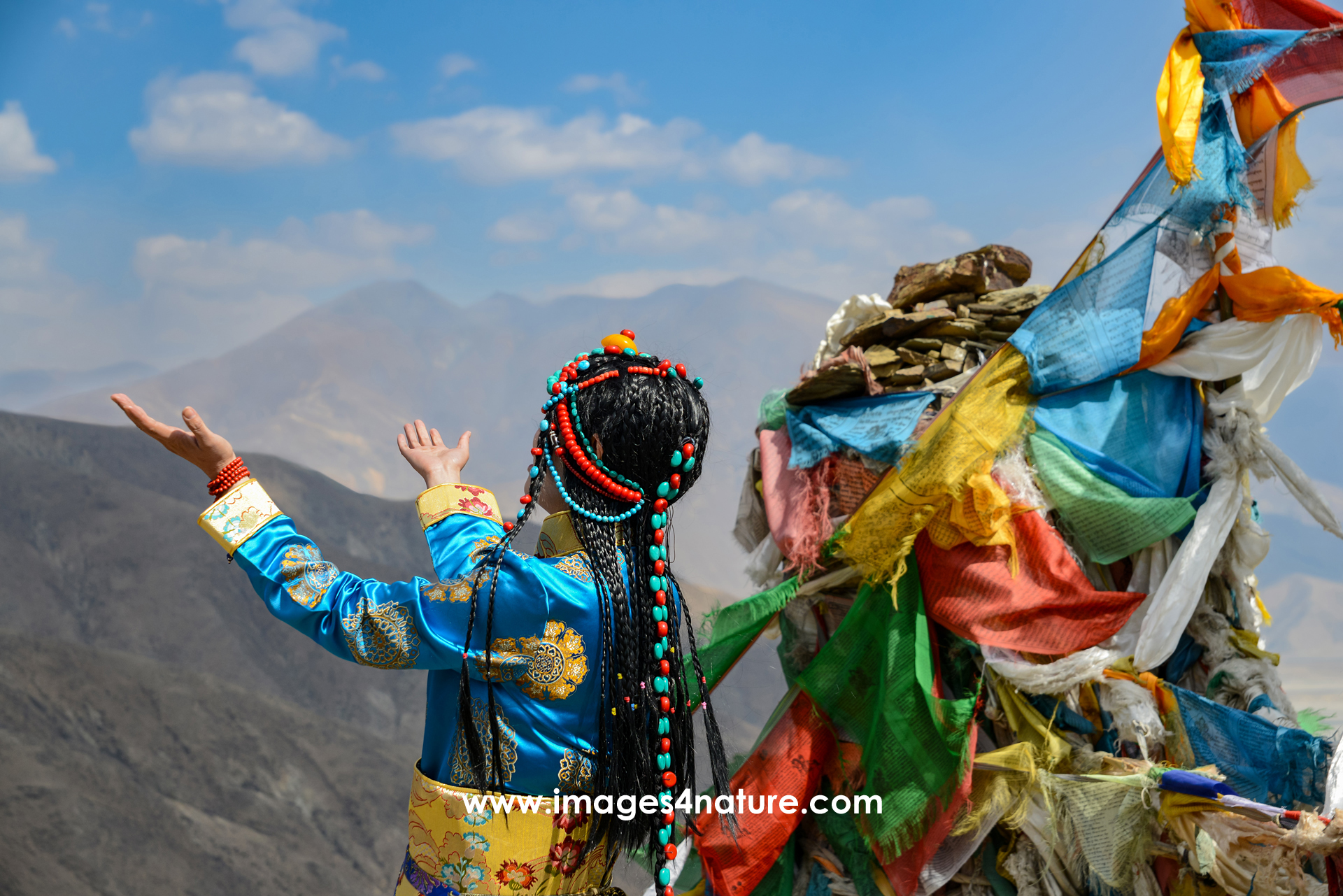

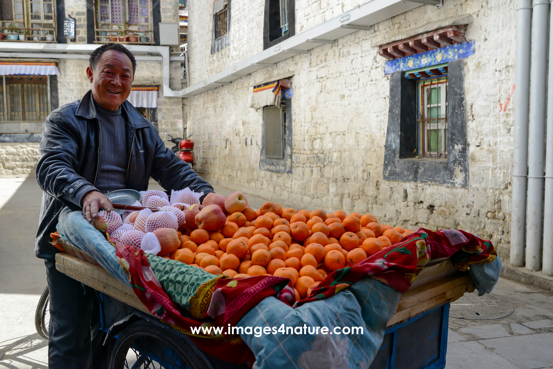

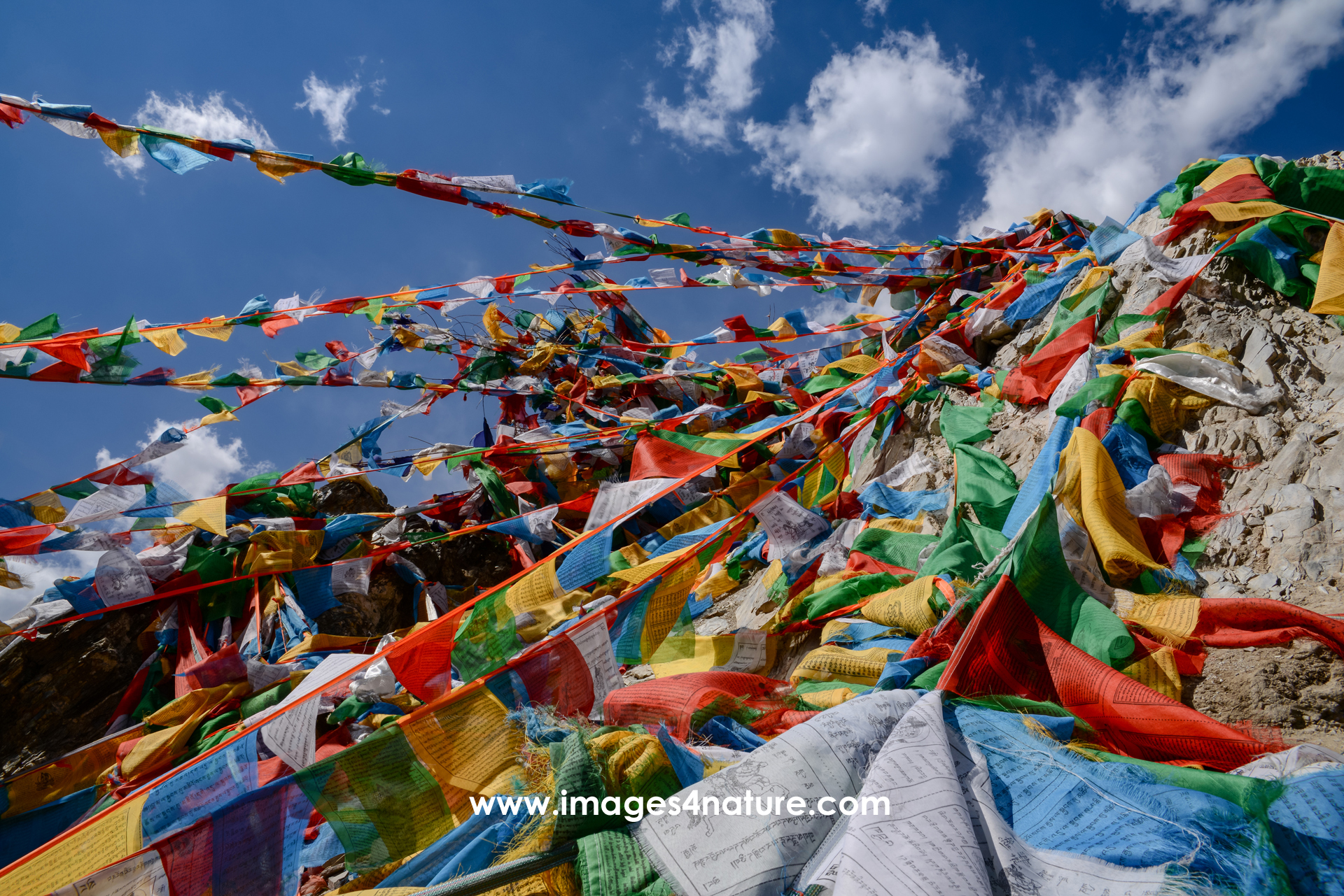

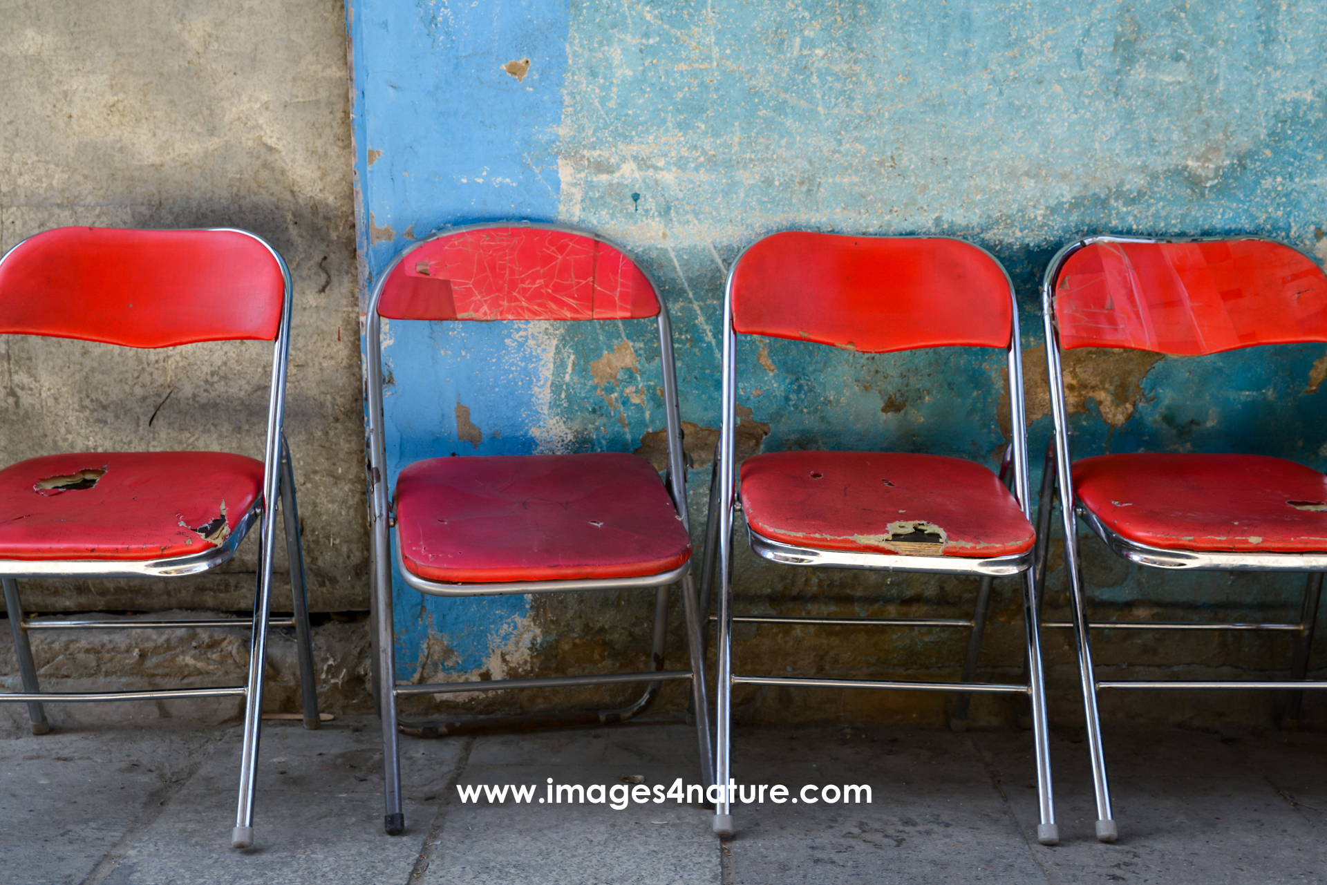





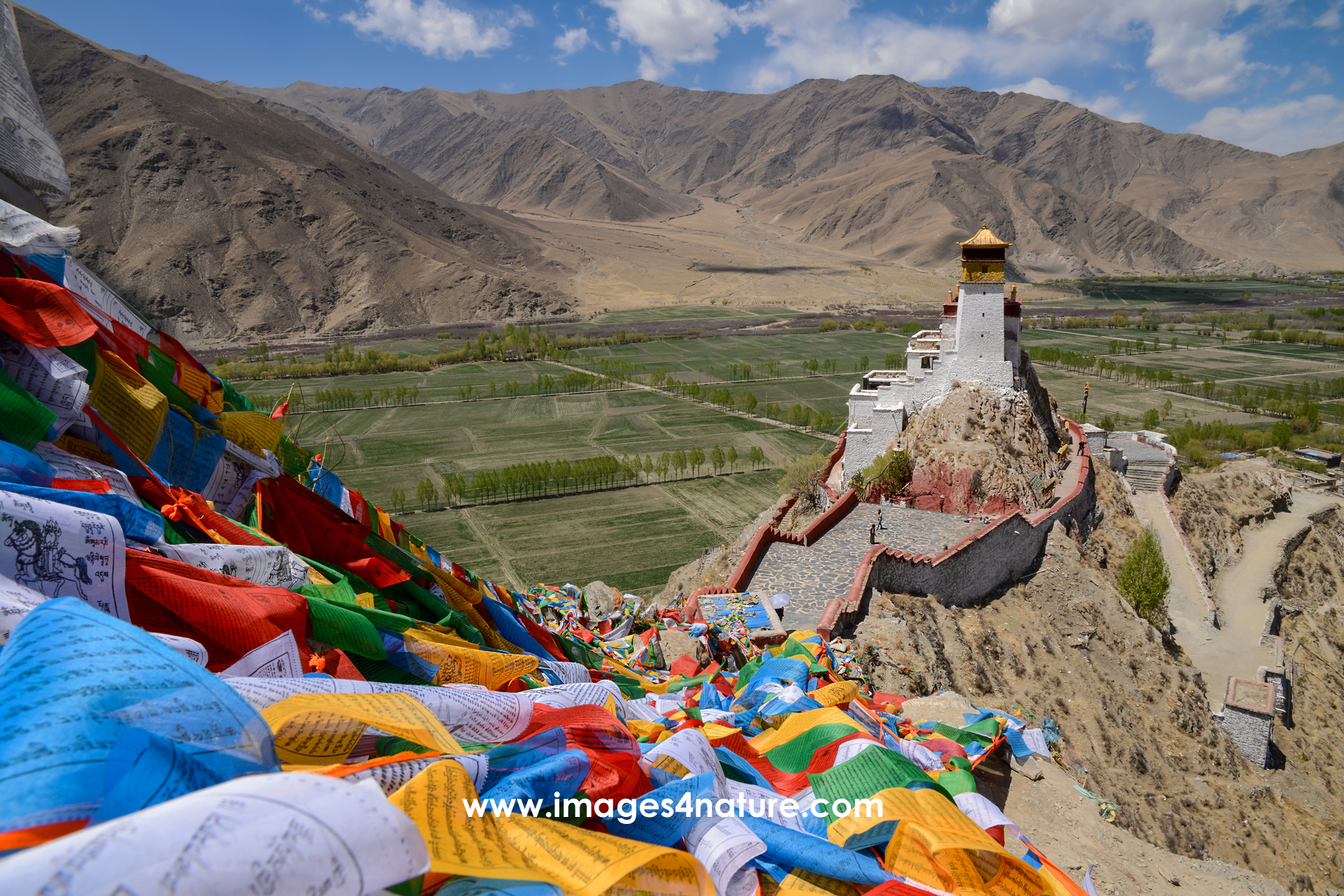

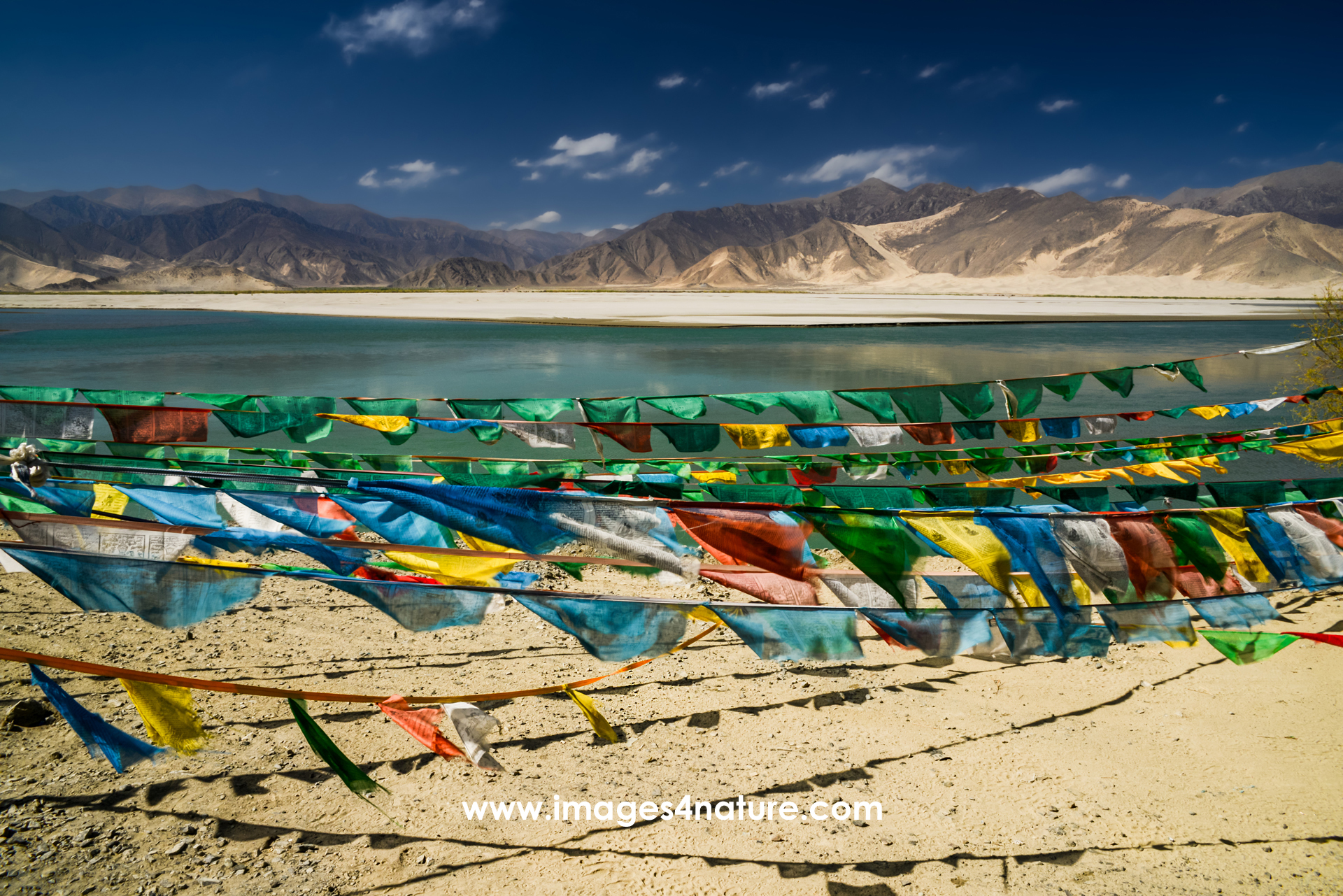

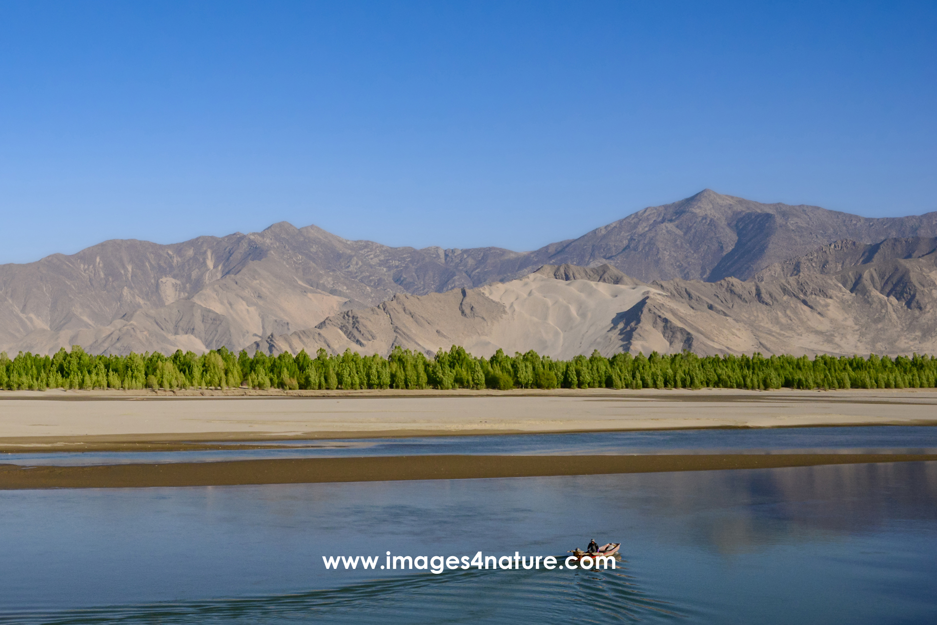

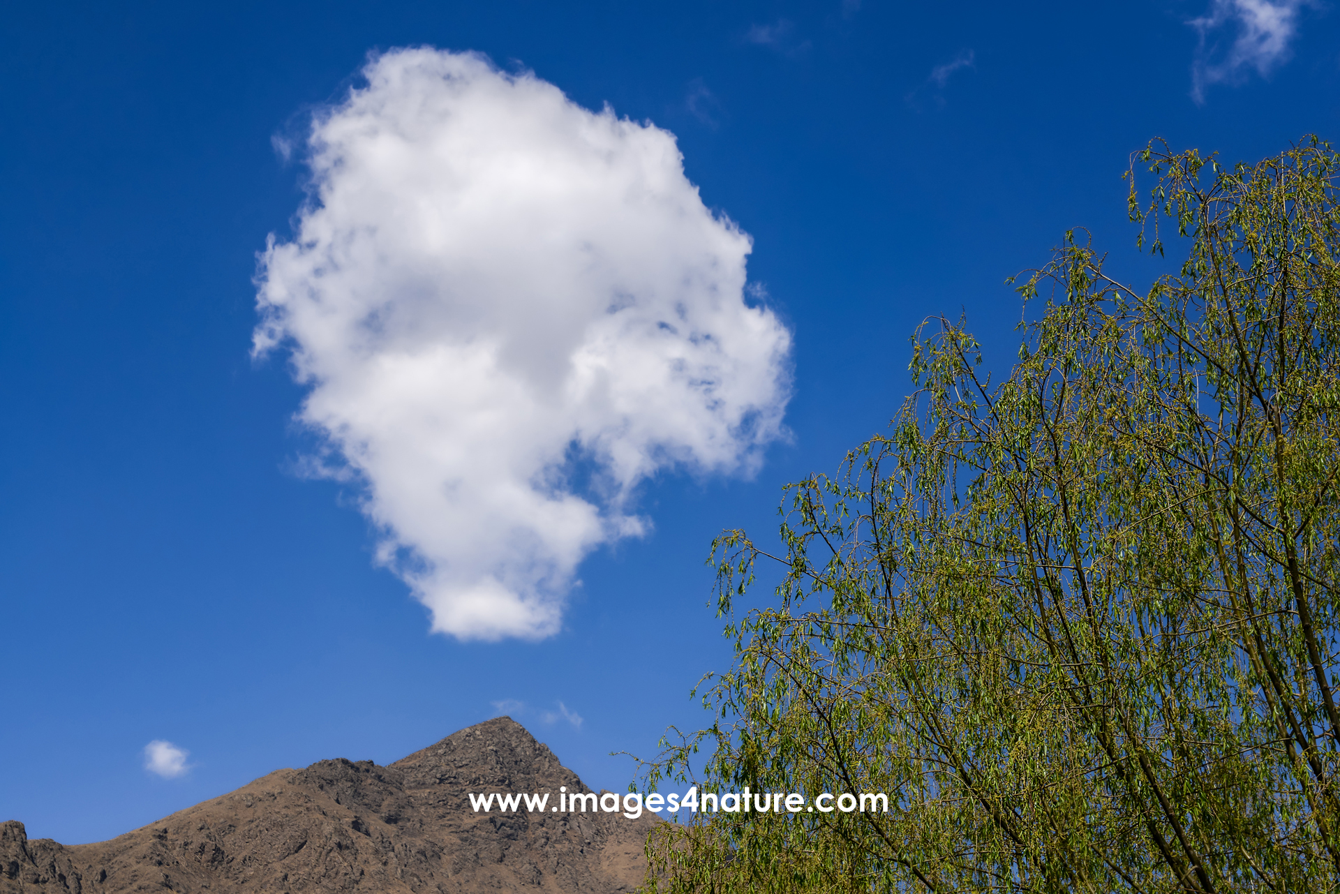





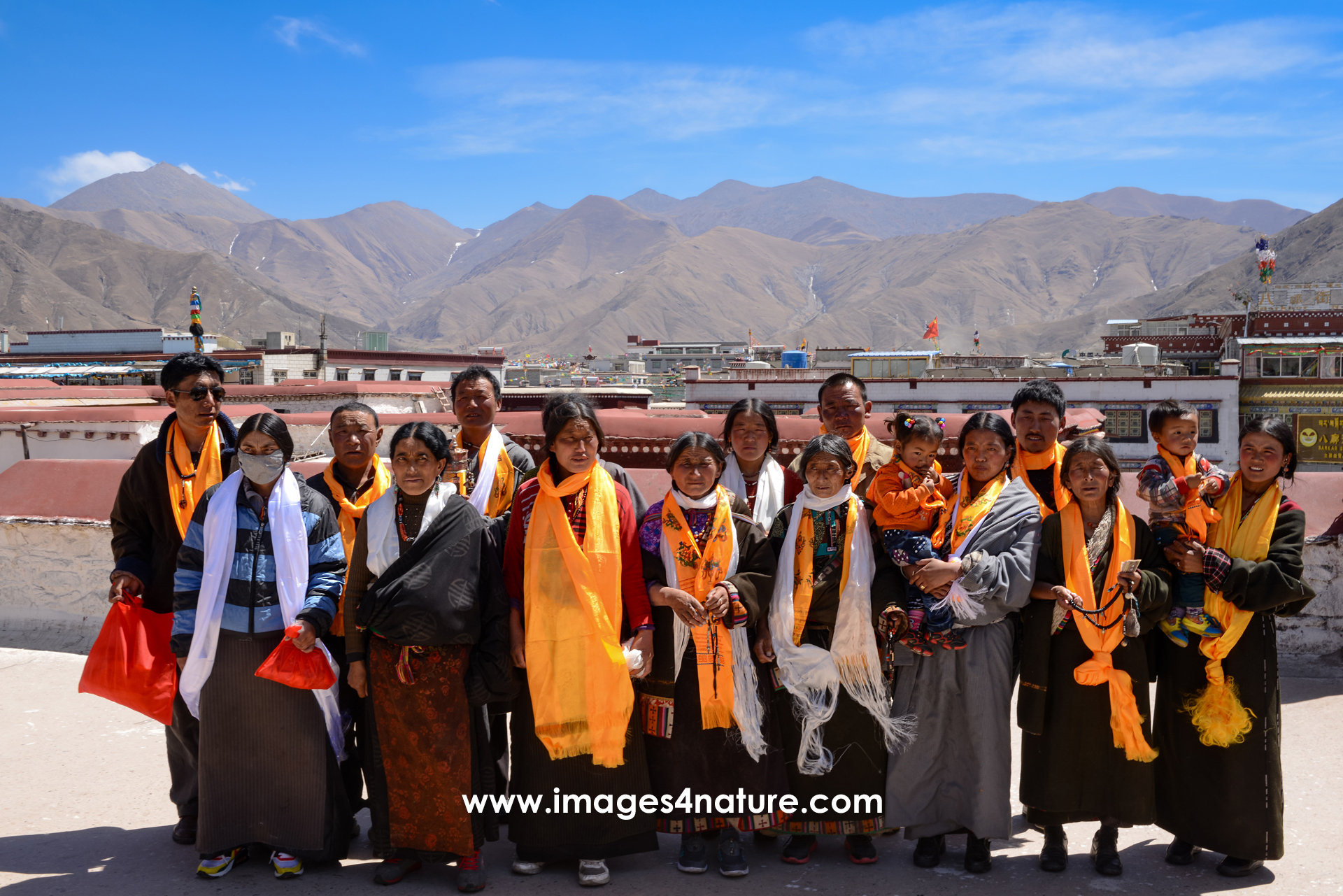

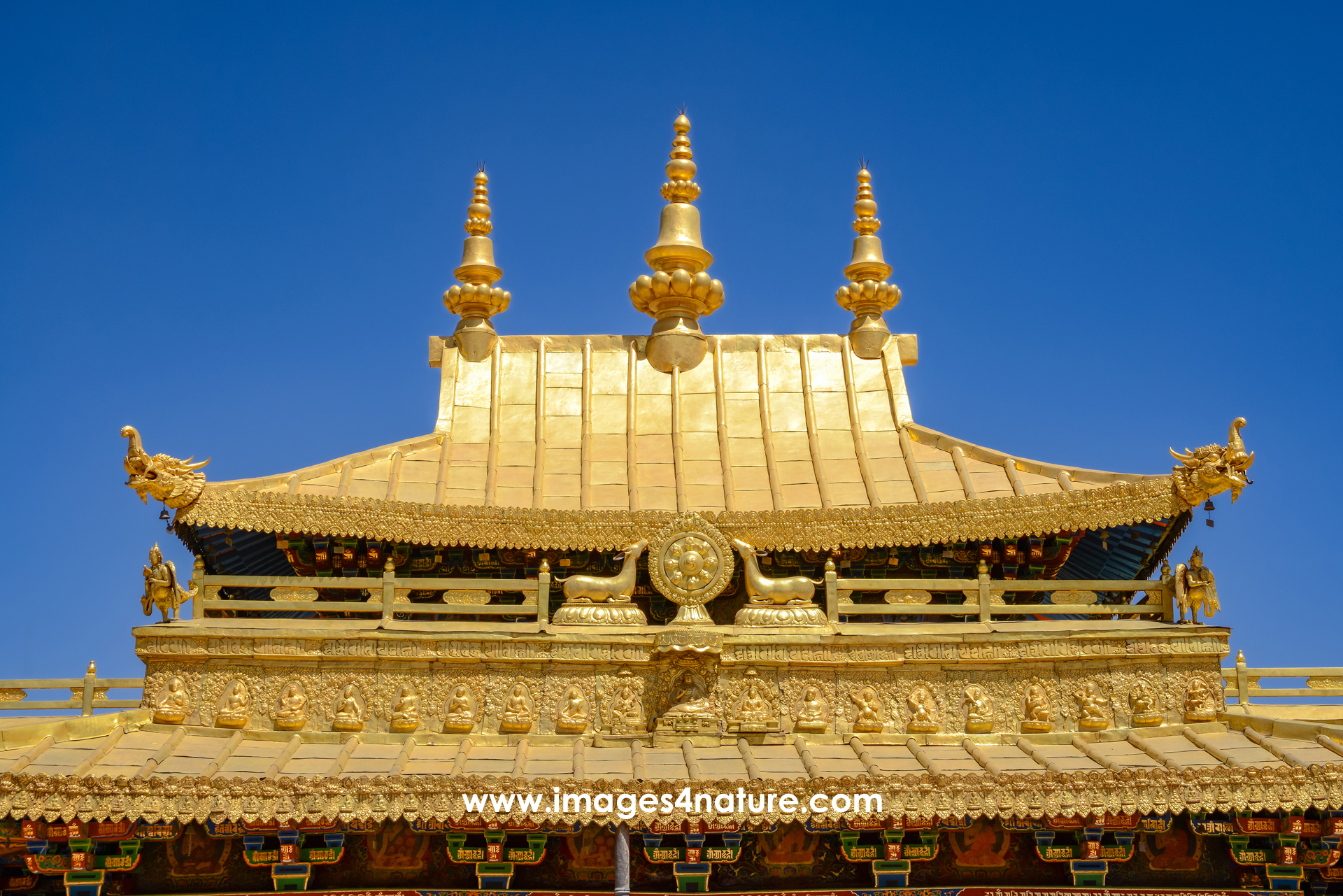

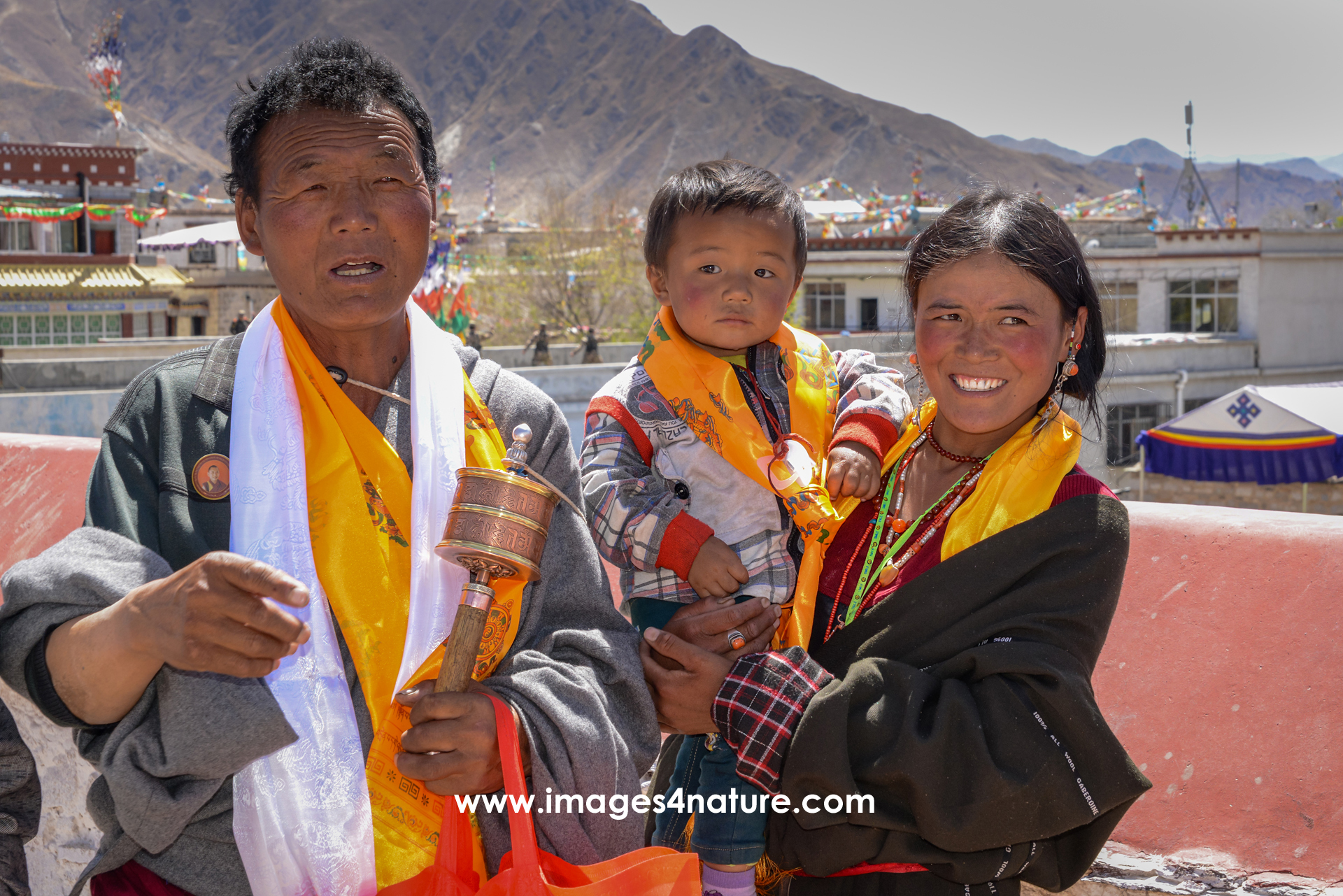

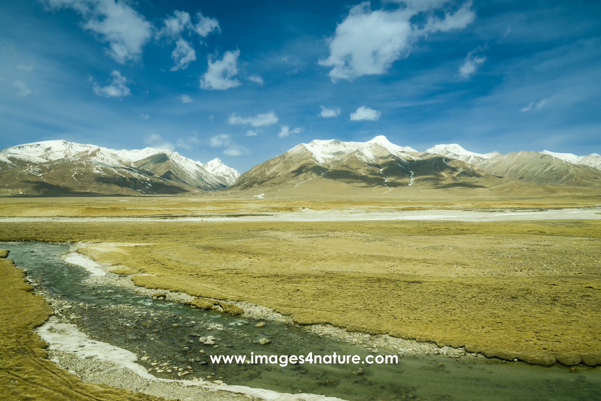



The Tibet archives contain a selection of my favorite images taken during my (so far) one and only trip to this fascinating place in Asia.
Since I went there during my time living in Taiwan, the travel time and distance were relatively short. However, there is another challenge that most travelers will experience: the altitude. With an average elevation of more than 4,300 m / ~approx. 14,000 feet, Tibet is the highest region on this planet. For people used to live at low altitudes, this can be tough, especially on the first days until the body starts to adapt. On top of that, the climate is extremely dry. Drinking lots and lots of water is important to avoid headaches and sleep issues.
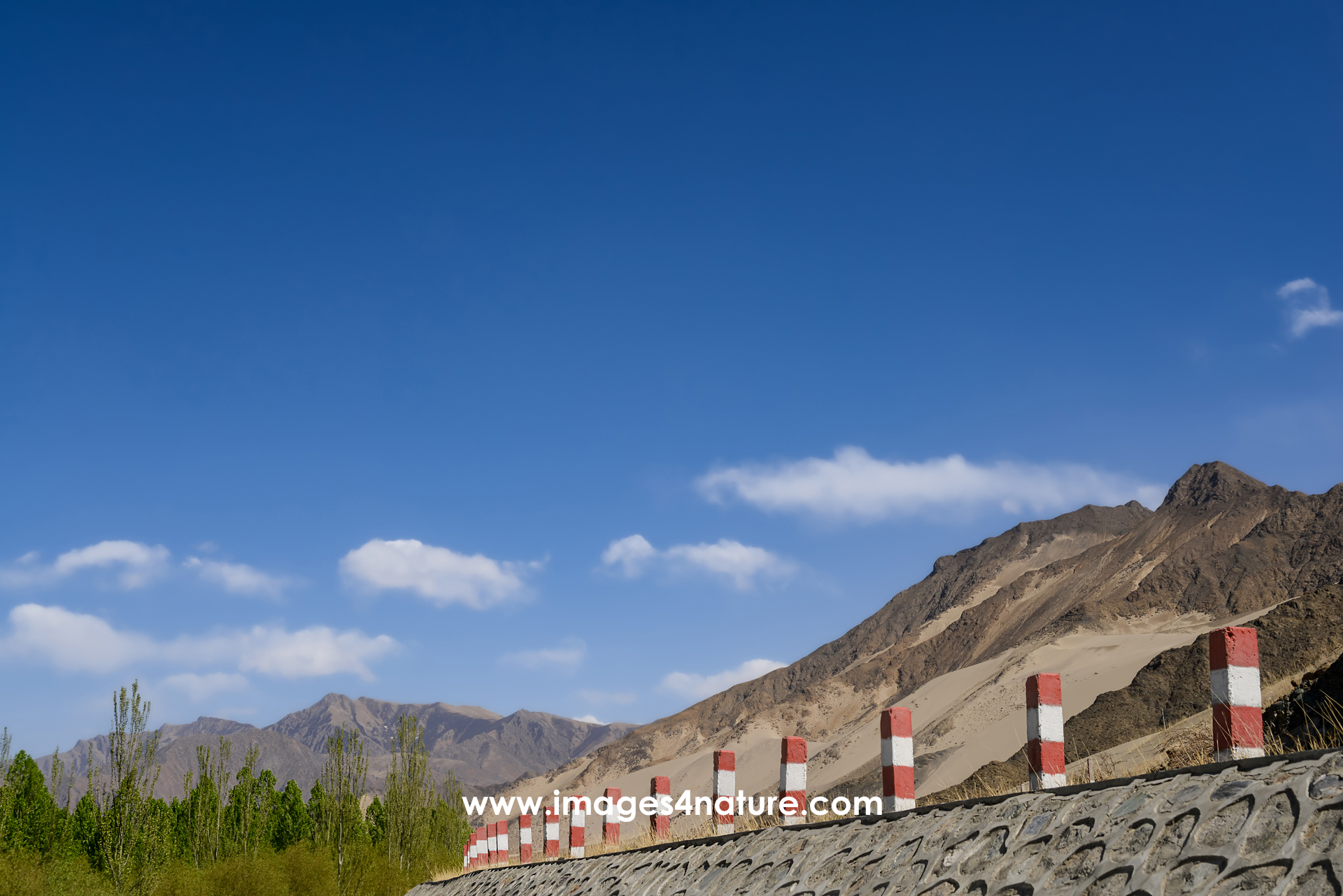
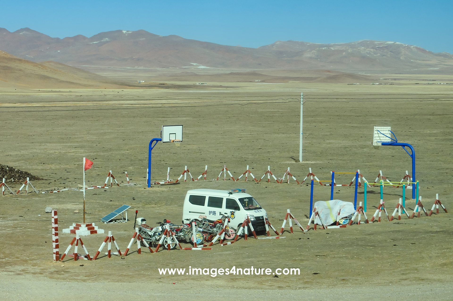
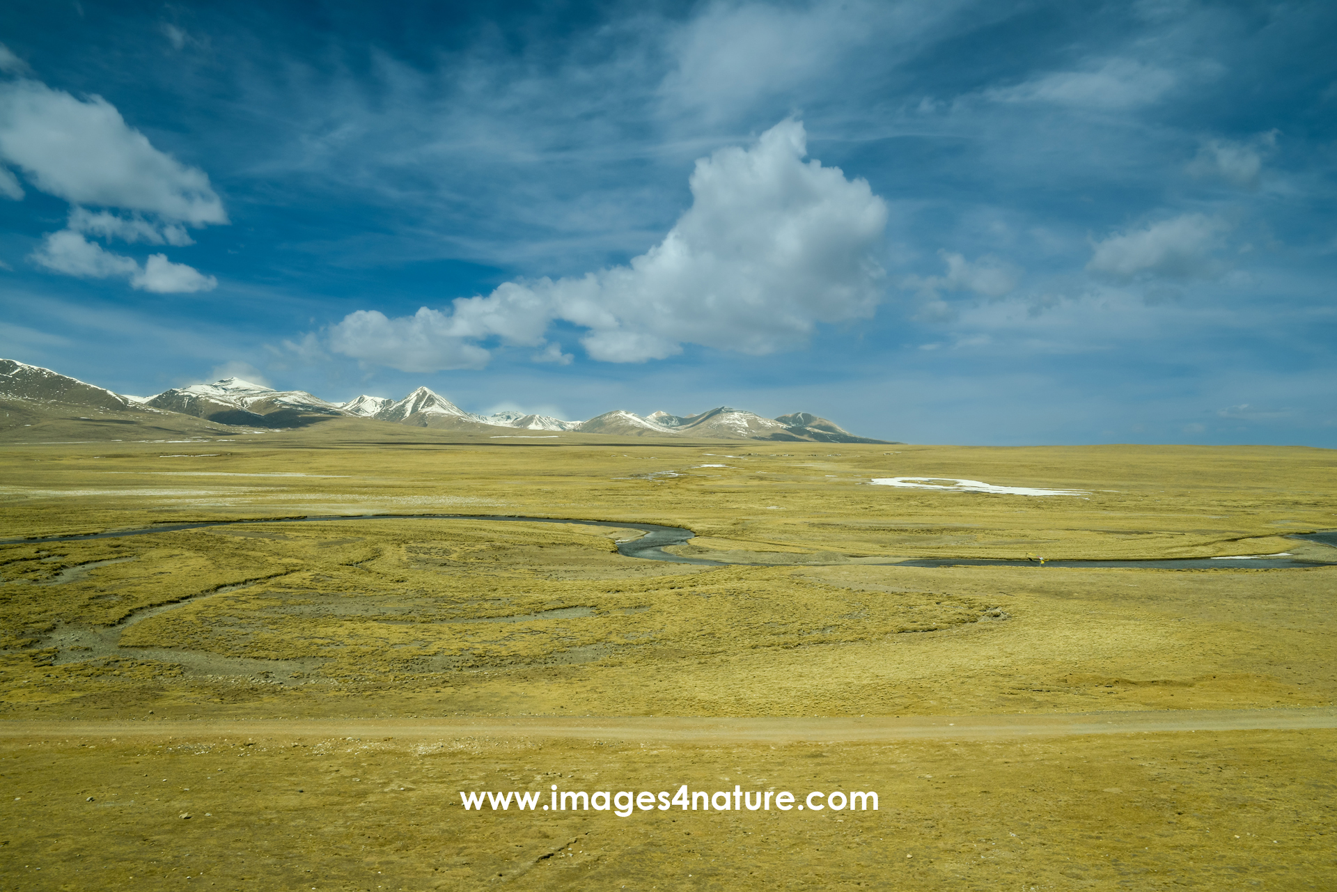
Instead of flying straight into the capitol of Tibet, we opted for a more adventurous start of our journey. We took the train from Xining to Lhasa, which took almost an entire day (23h). But the views out of the window of the train passing endless desert-like mountain landscapes were absolutely worth it.
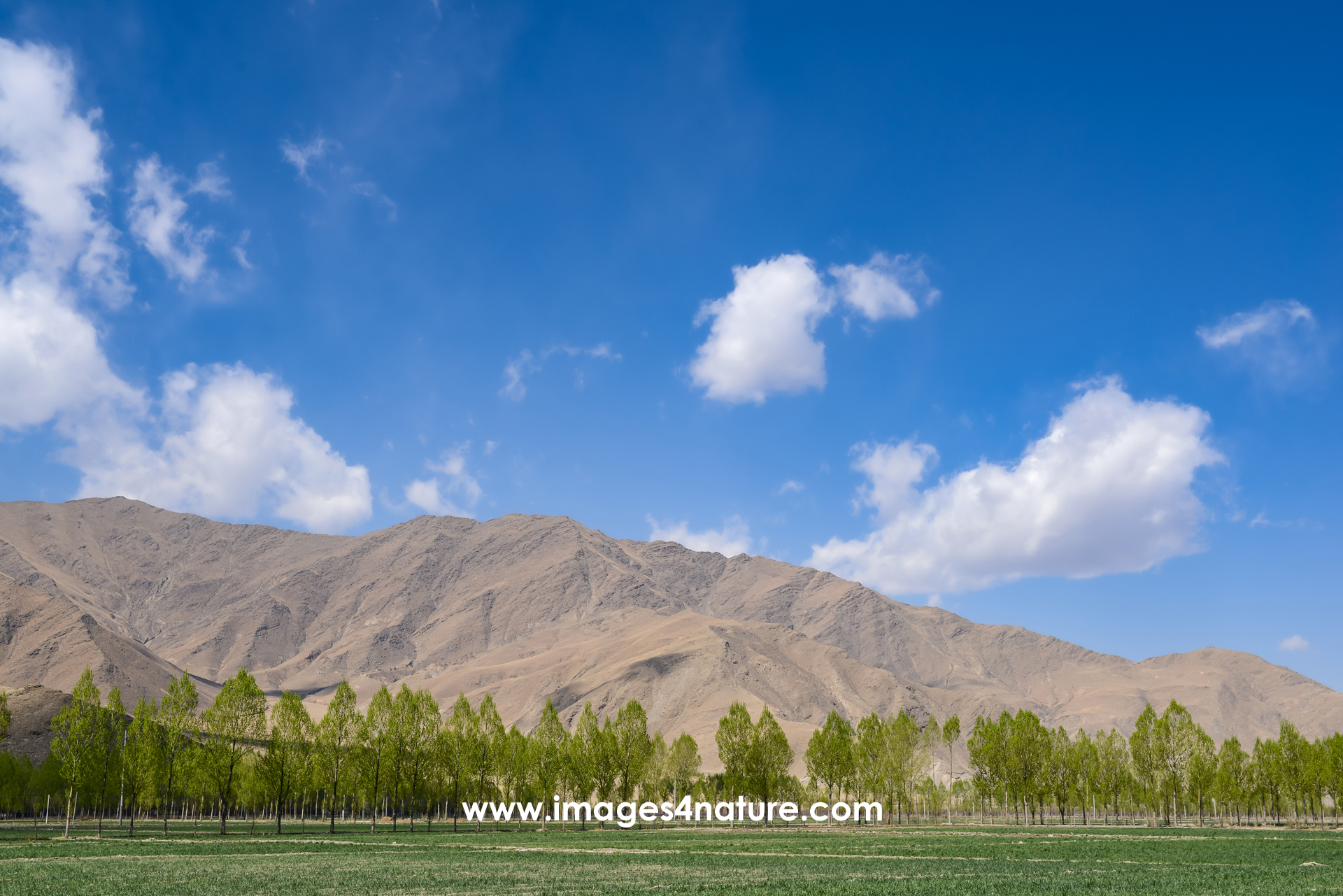
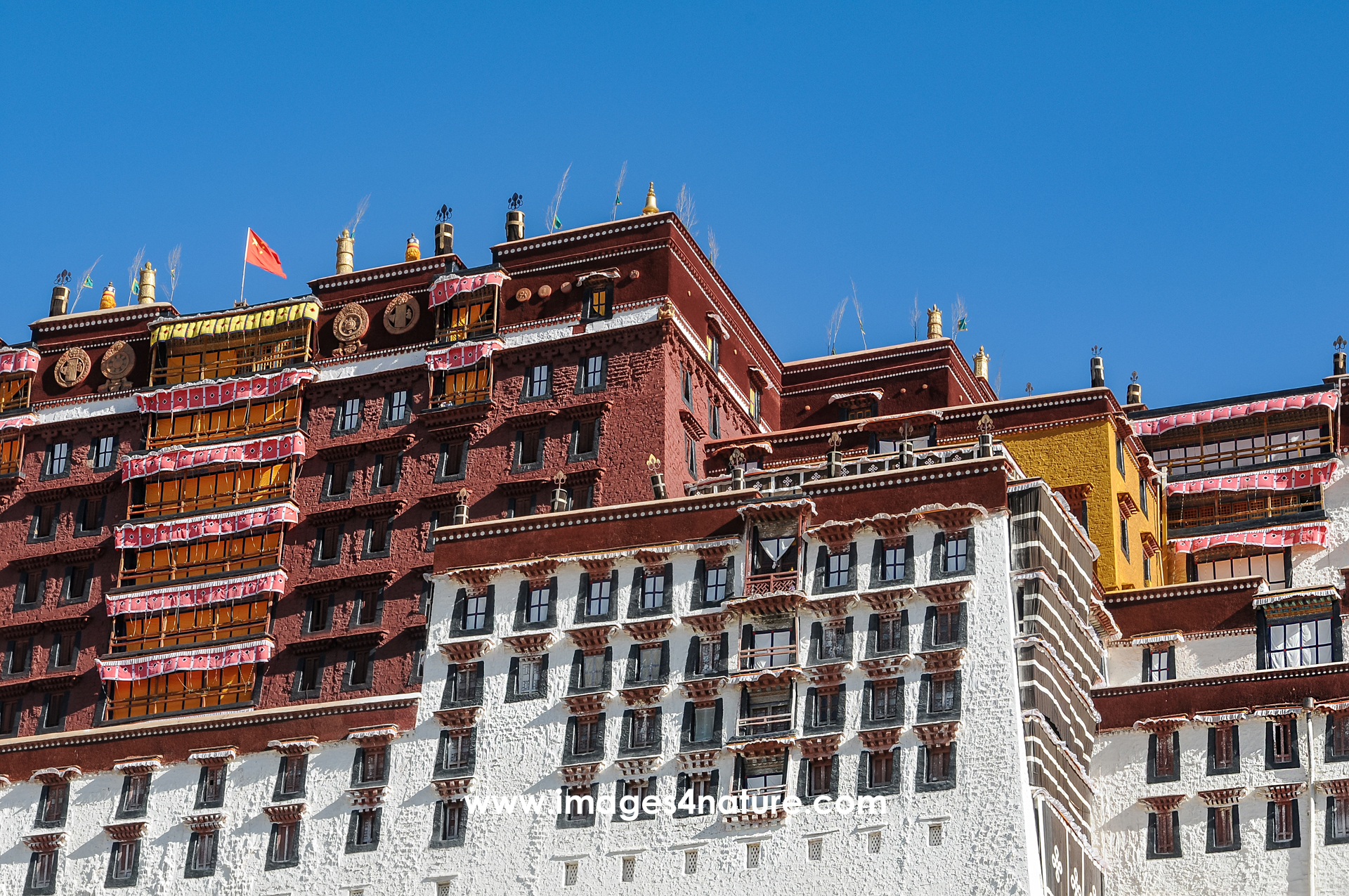
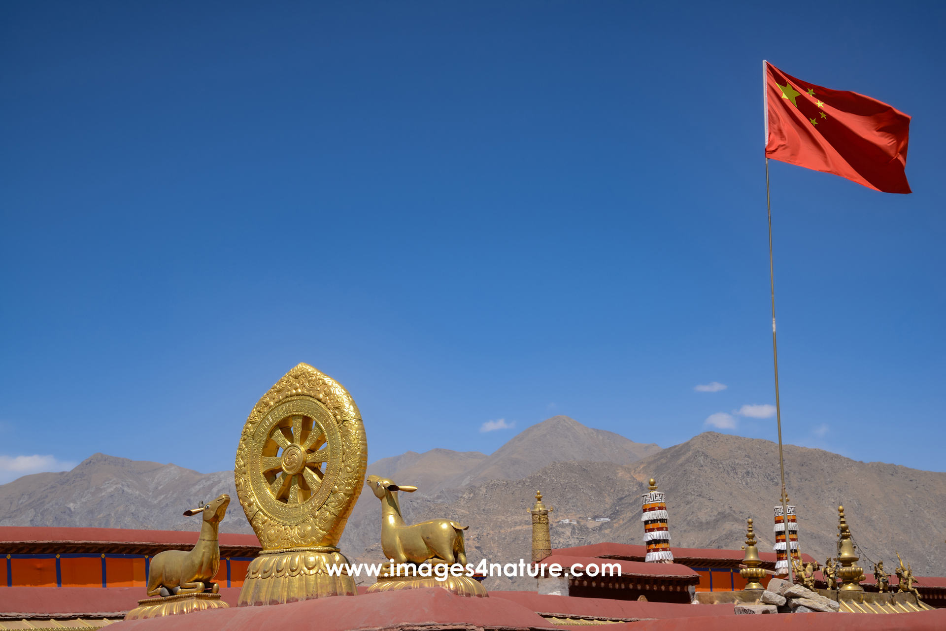
Obviously, within just two week, it was impossible to explore the entire area of around 2,500,000 km2, most of them located on the Tibetan Plateau. For me, the two main attractions were the breathtaking scenery with amazing landscapes, and the rich culture with ancient yet vibrant cities, and many Buddhist monasteries.
Since it is not allowed to travel on your own, we took a tour with a friendly and very knowledgeable local guide. This proved quite helpful, not only because of language issues, but also to understand many of the places we visited during a few day trips out of Lhasa and a four day round-trip covering Shigatse and Gyantse.
Please enjoy scrolling through my Tibet archives.