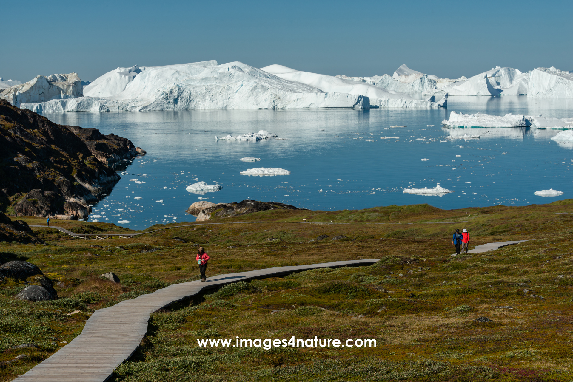
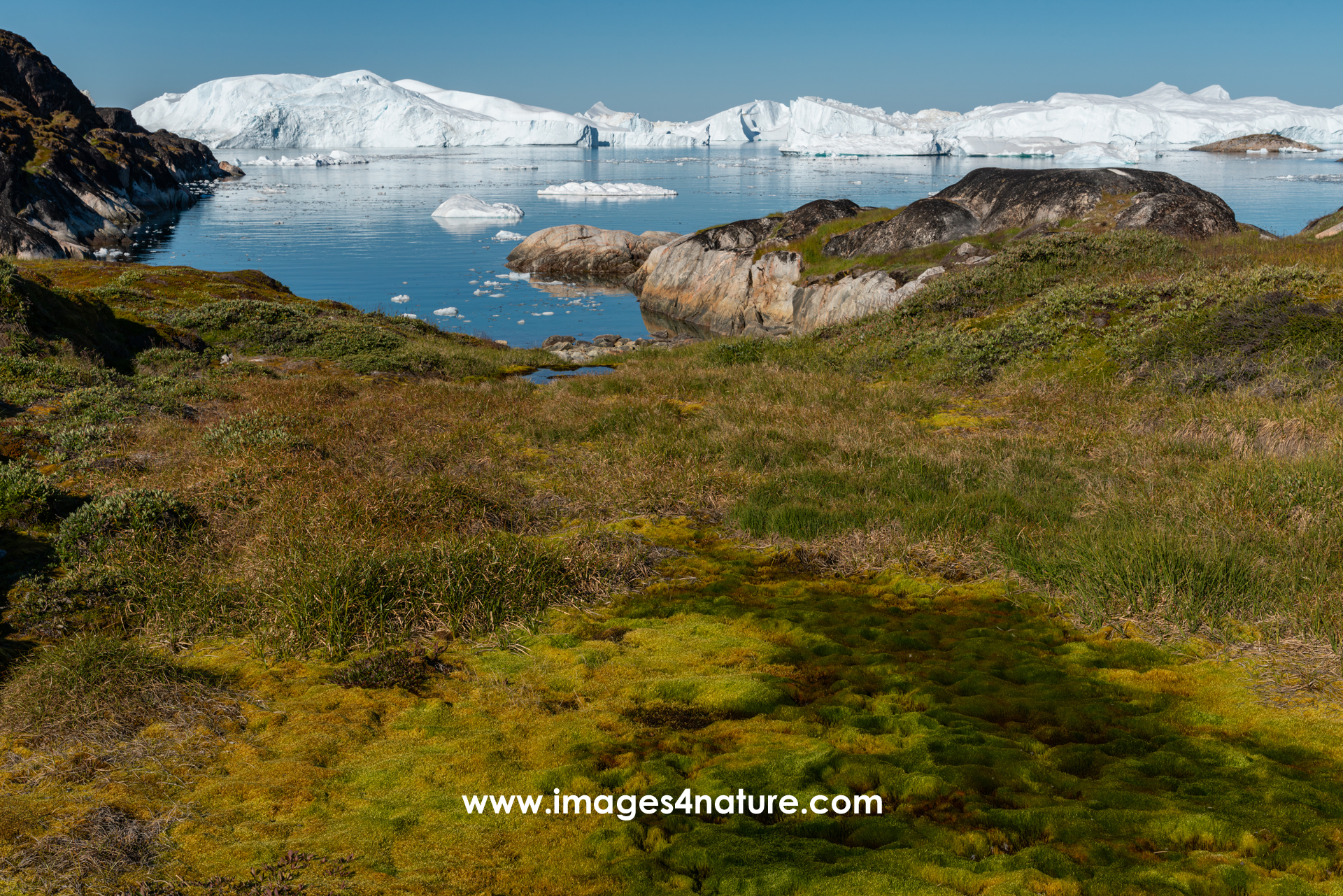
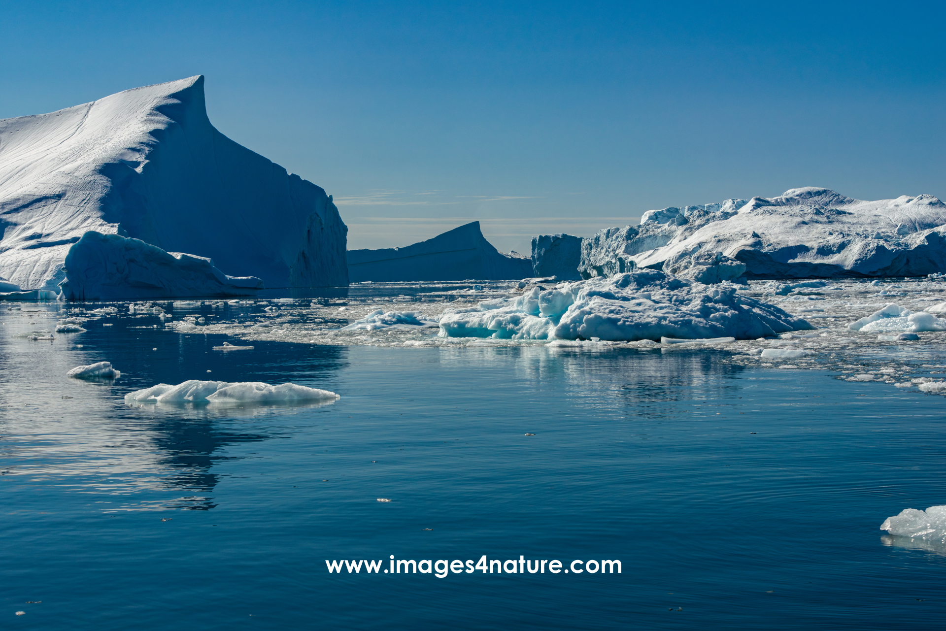
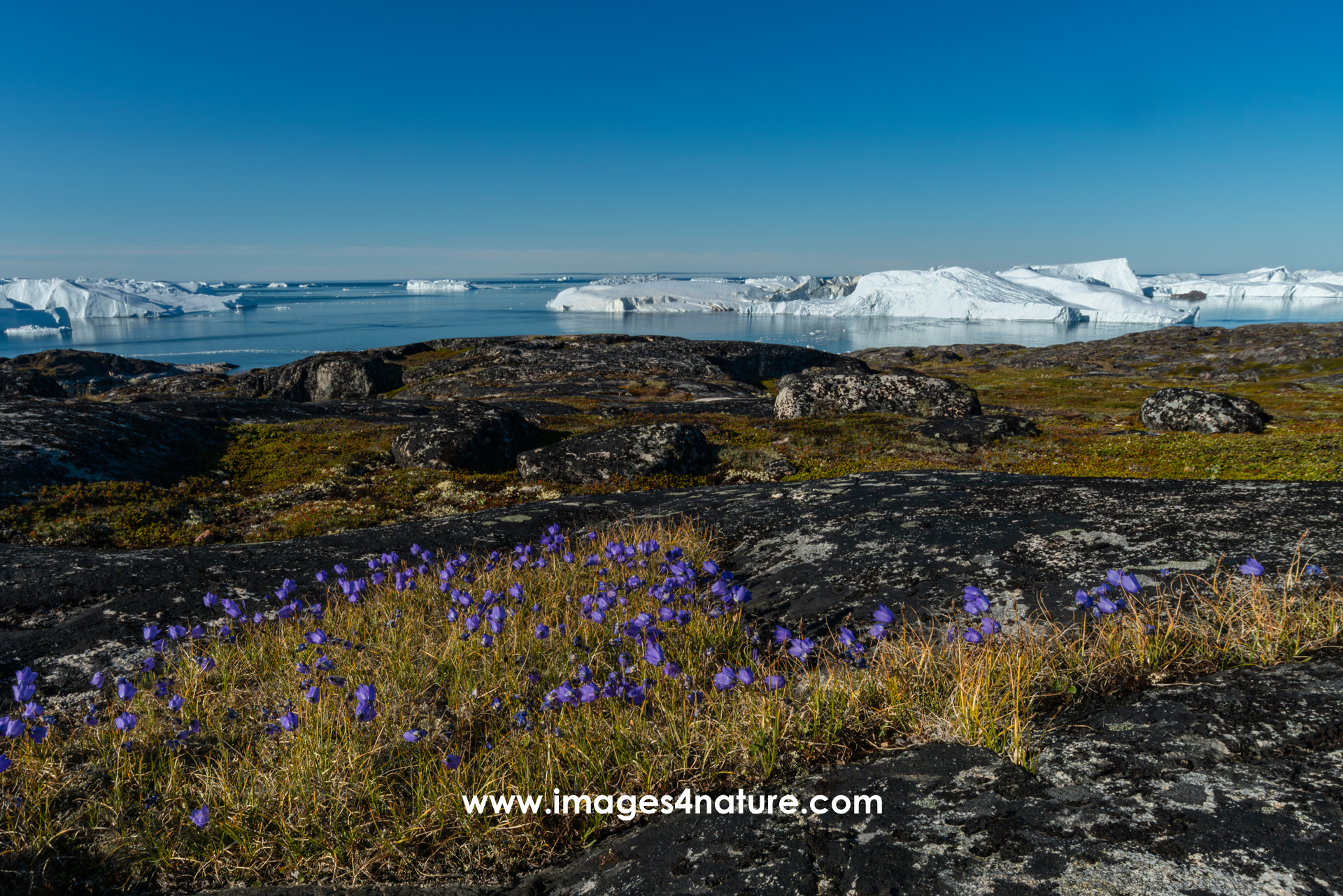
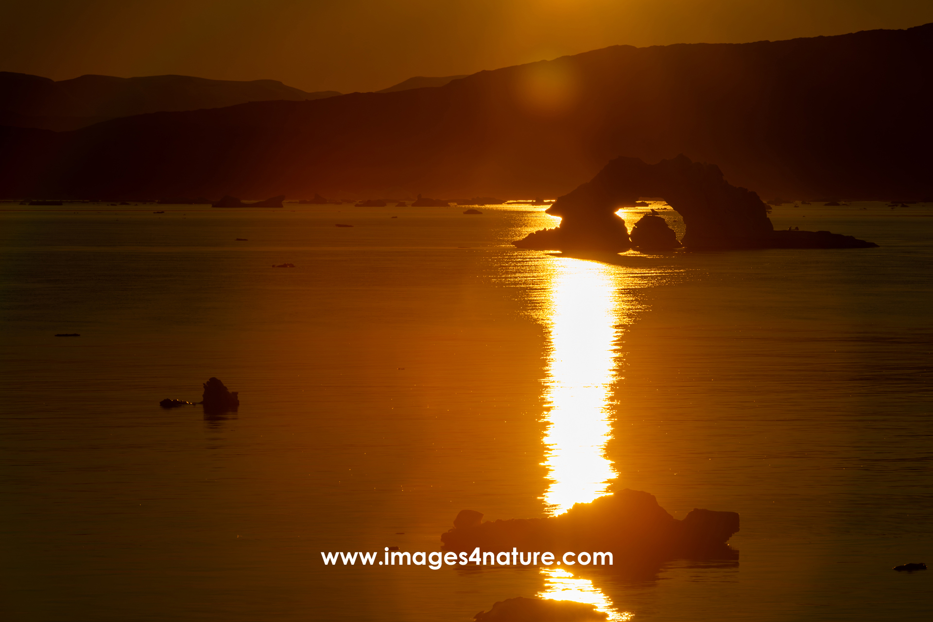
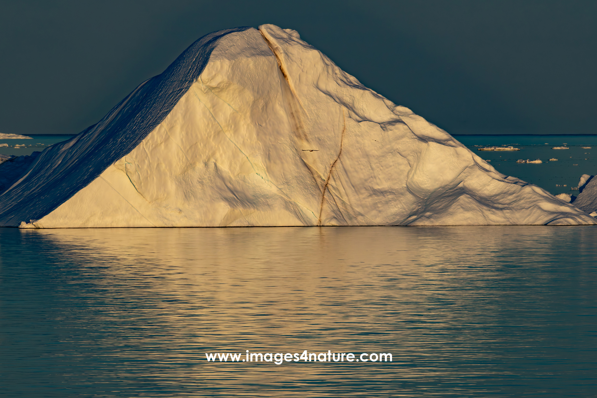
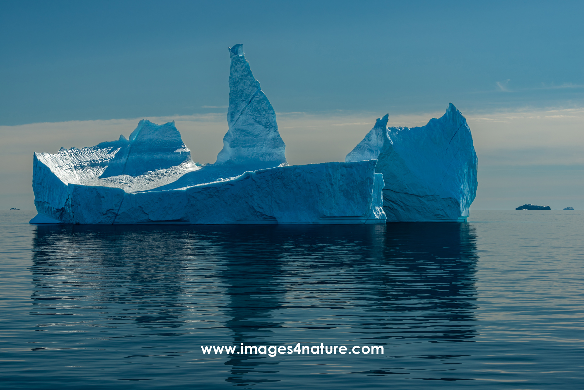
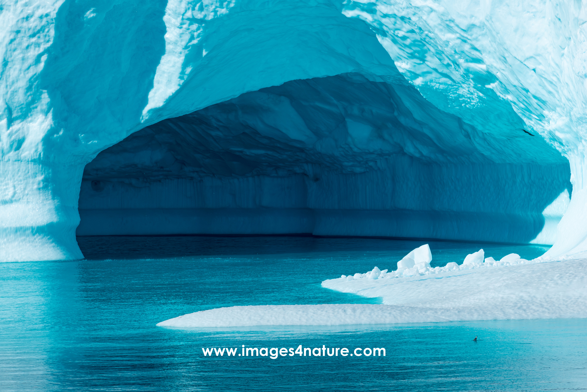
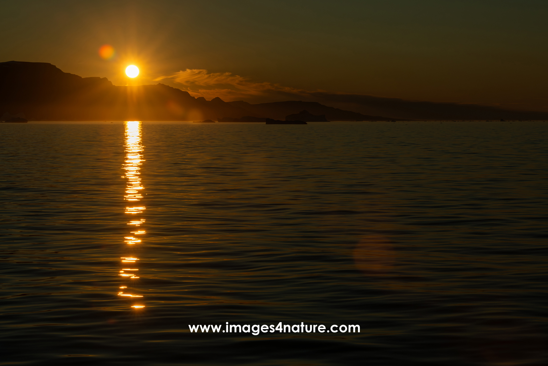
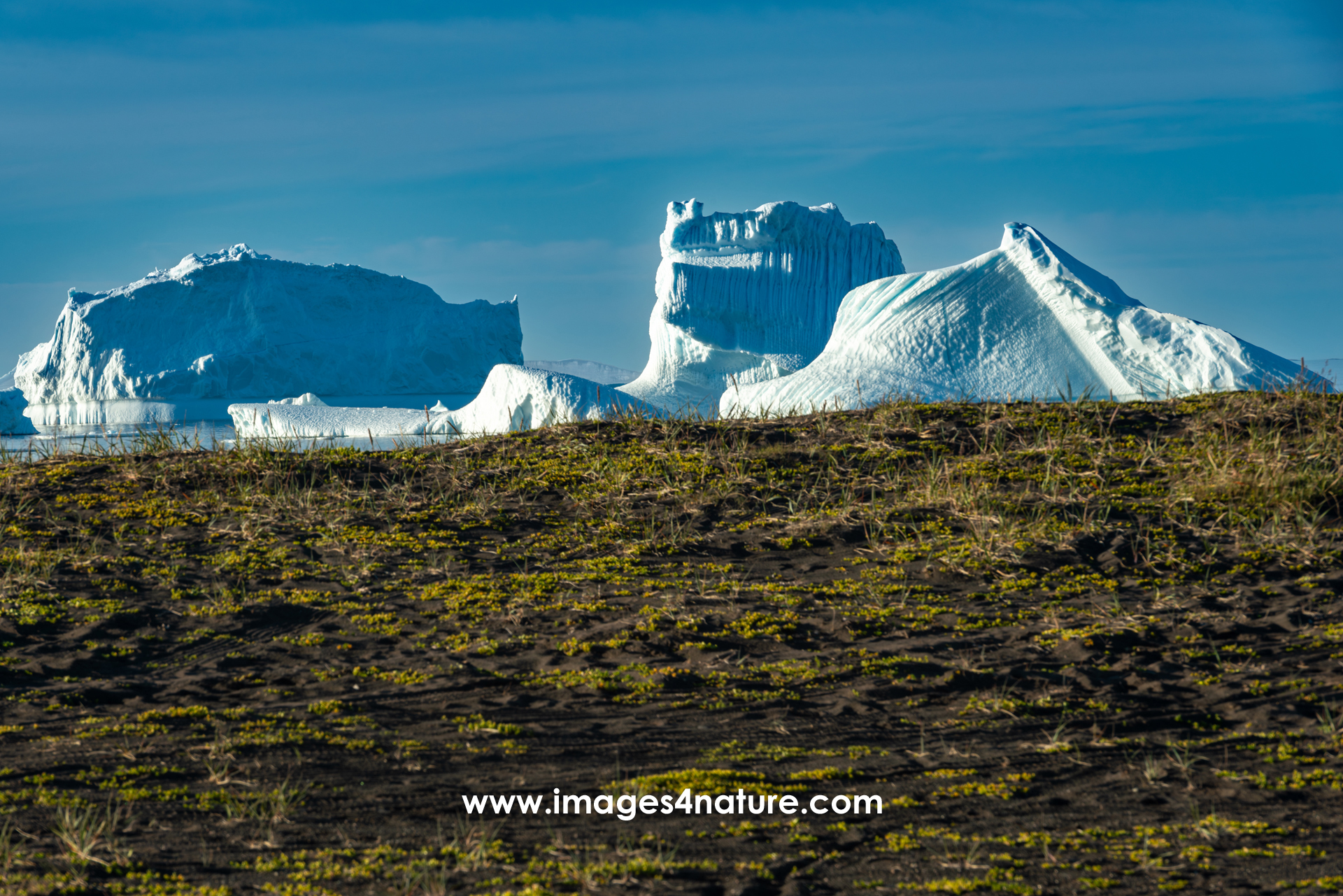
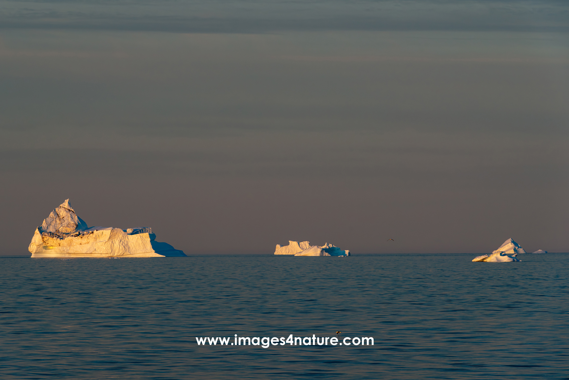
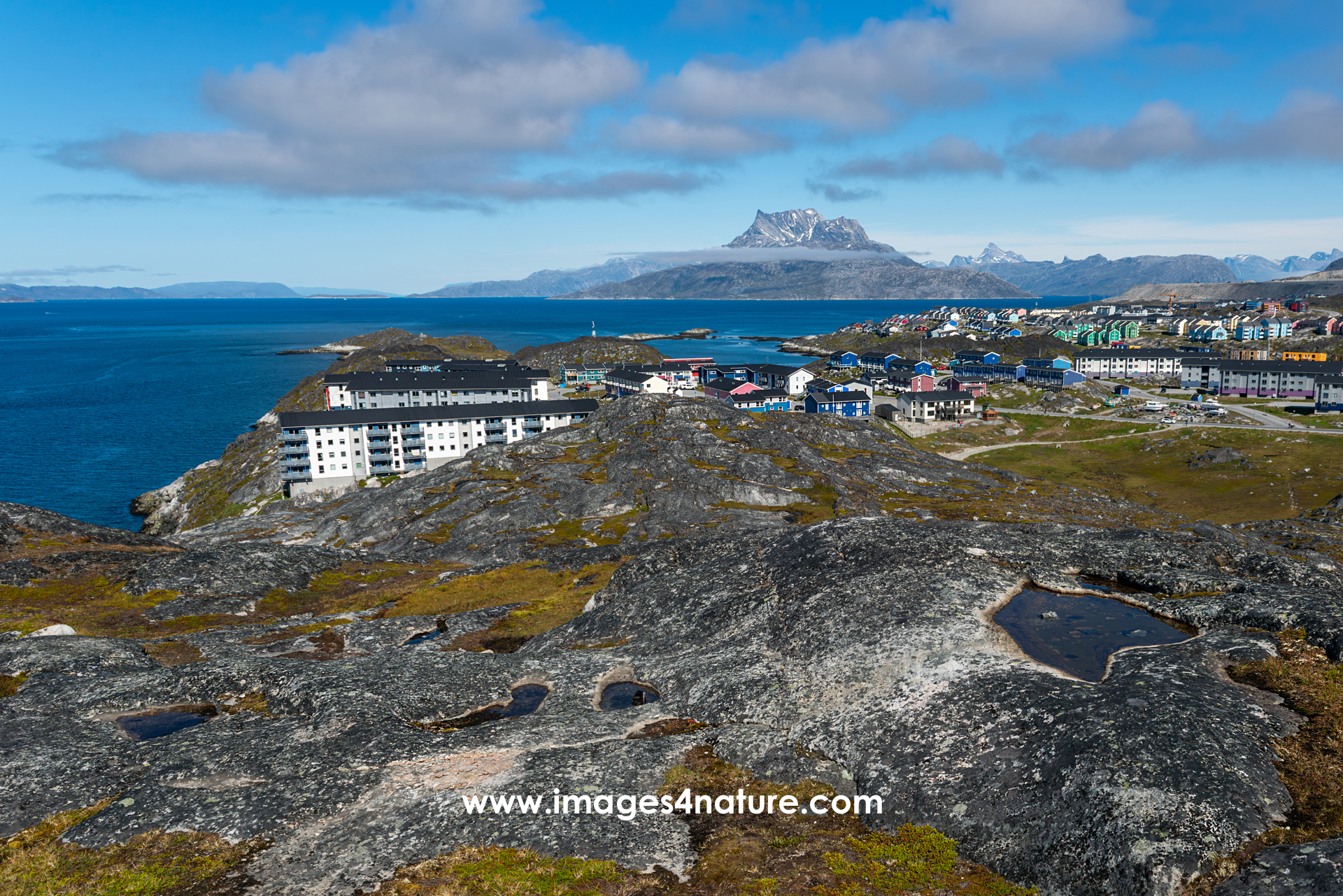
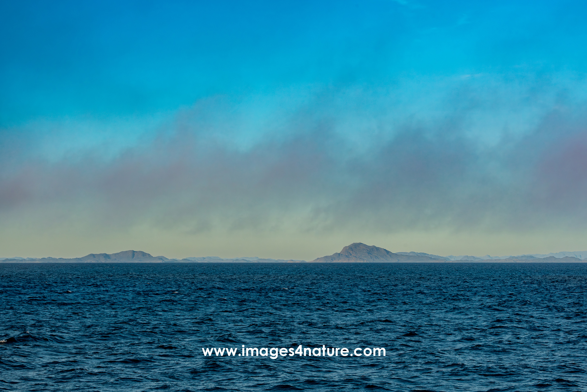
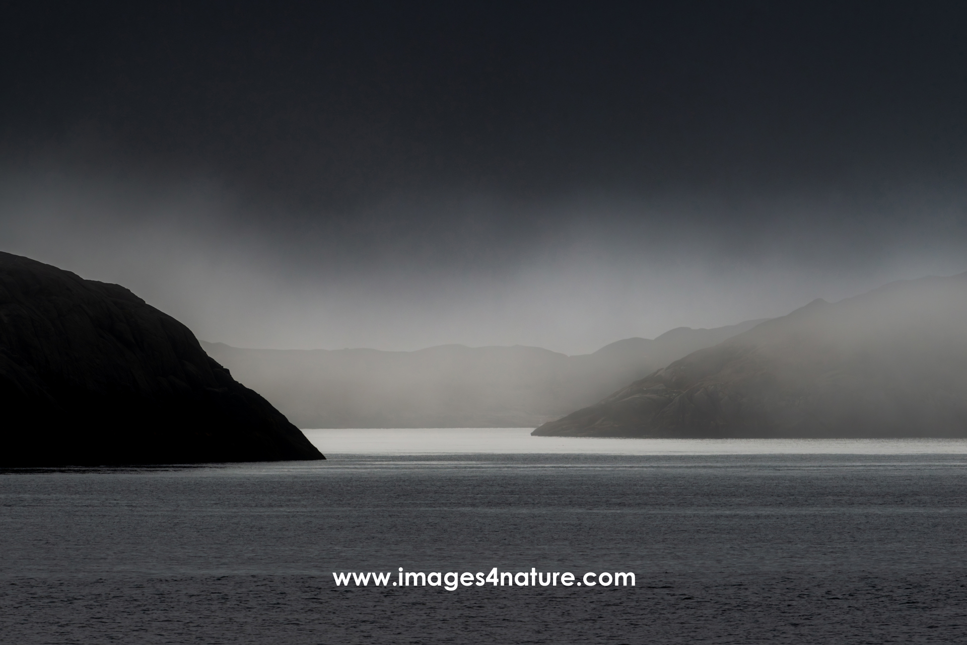
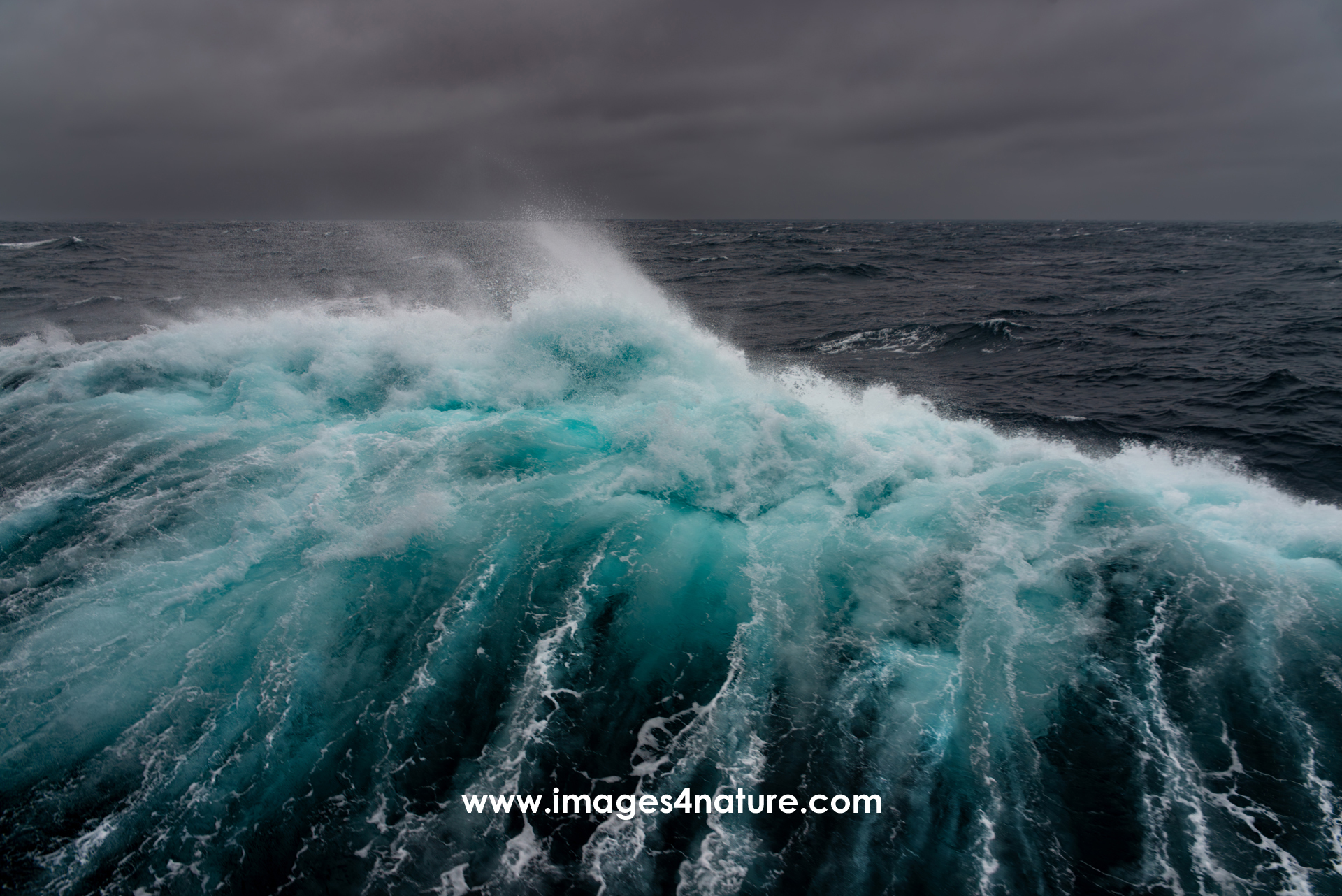
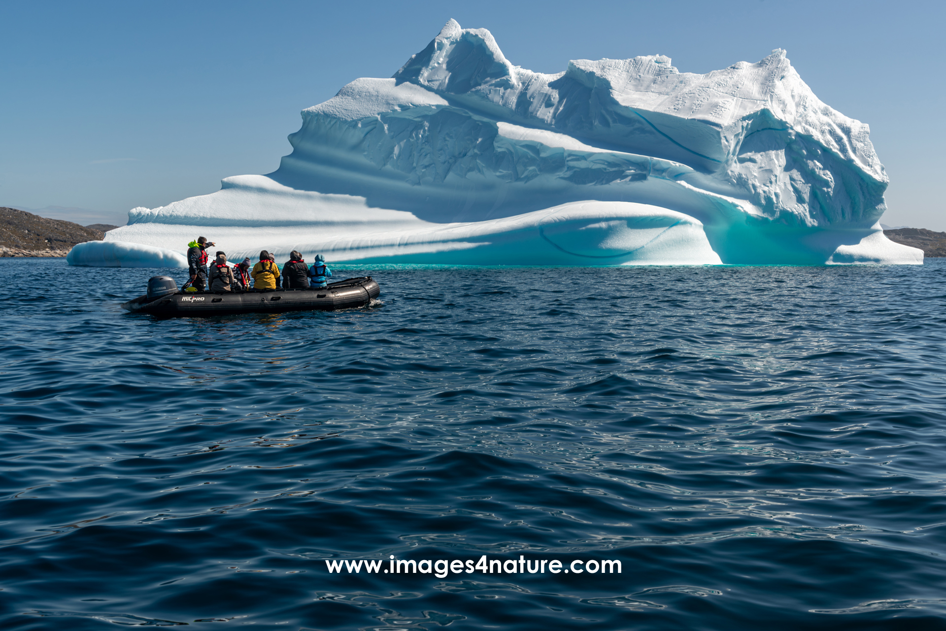
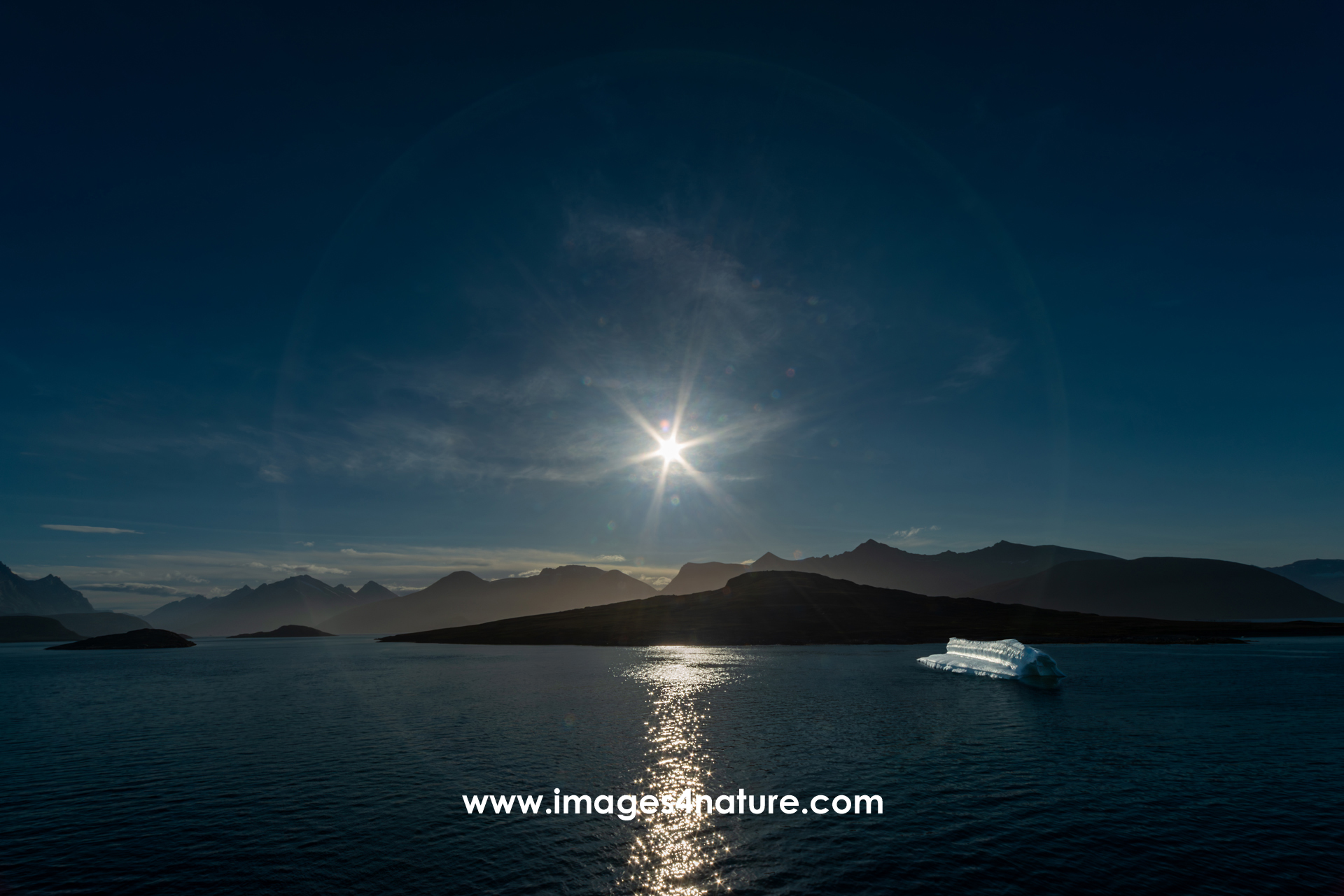
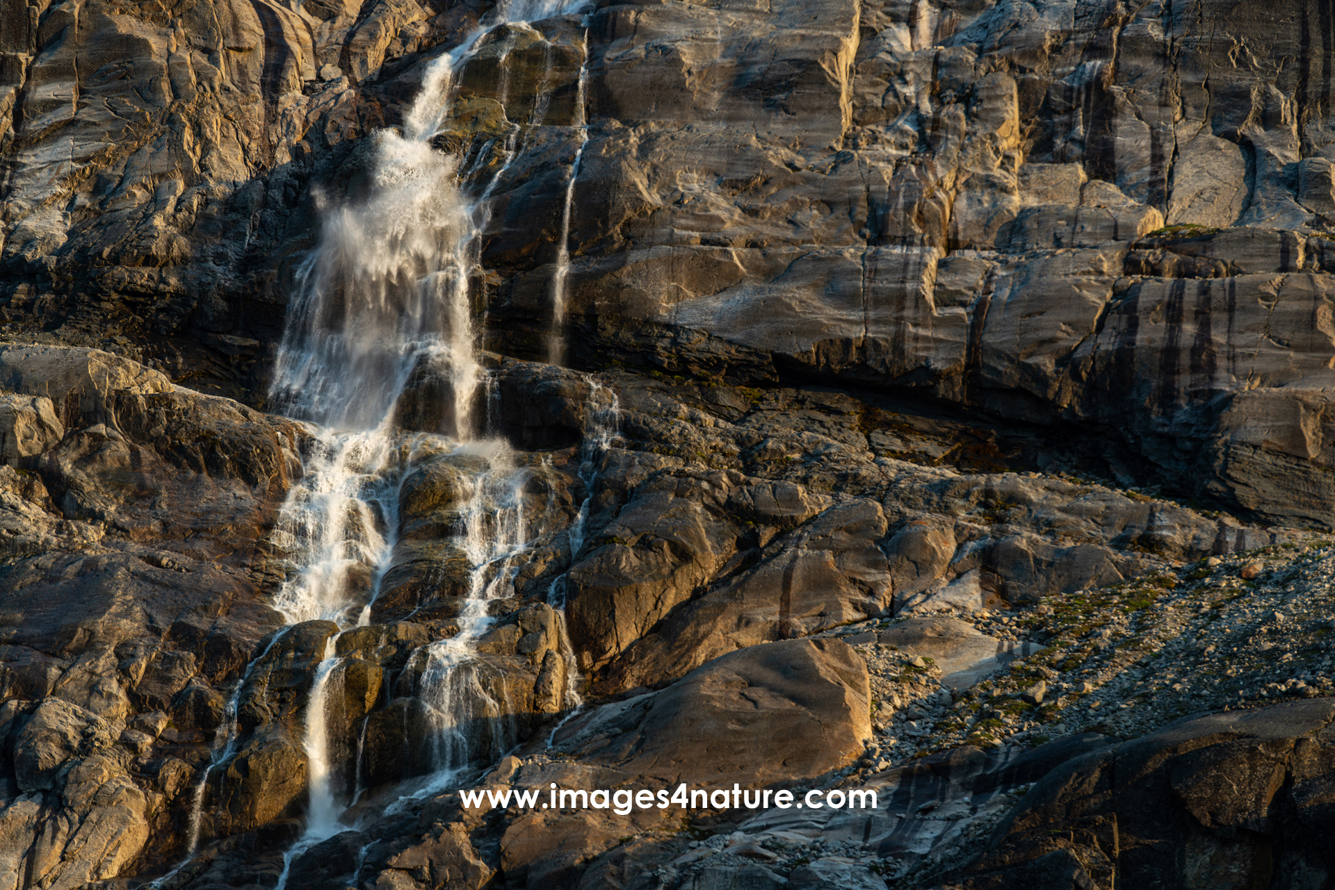
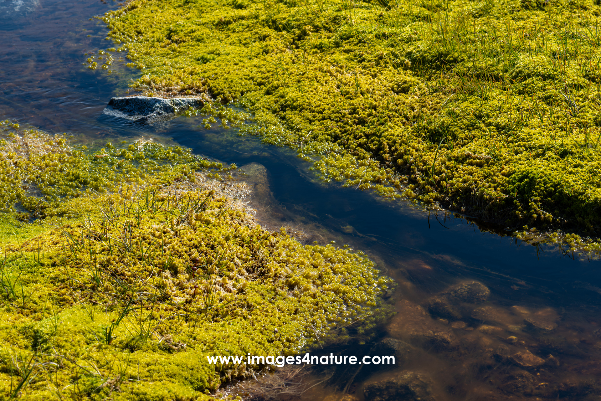
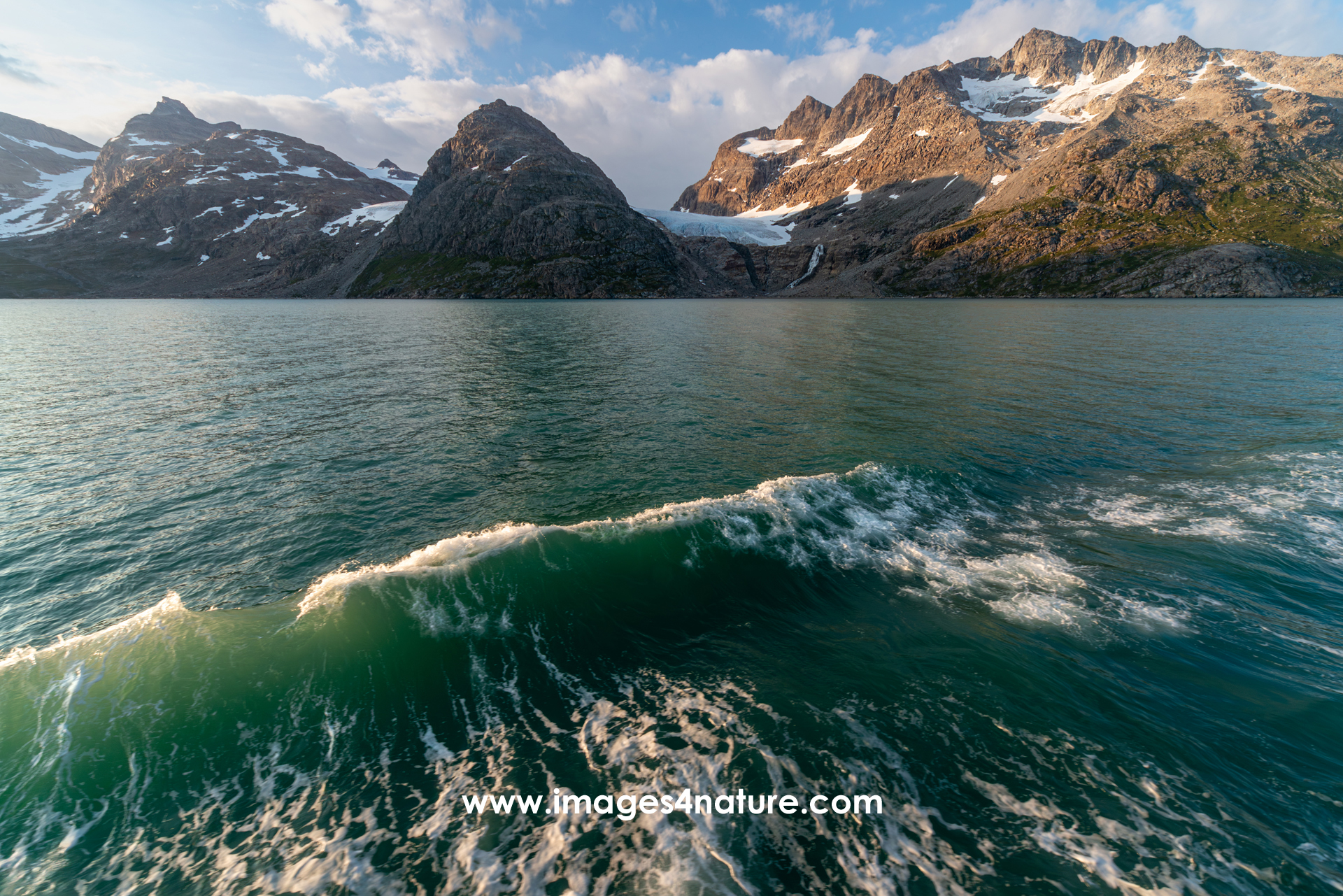
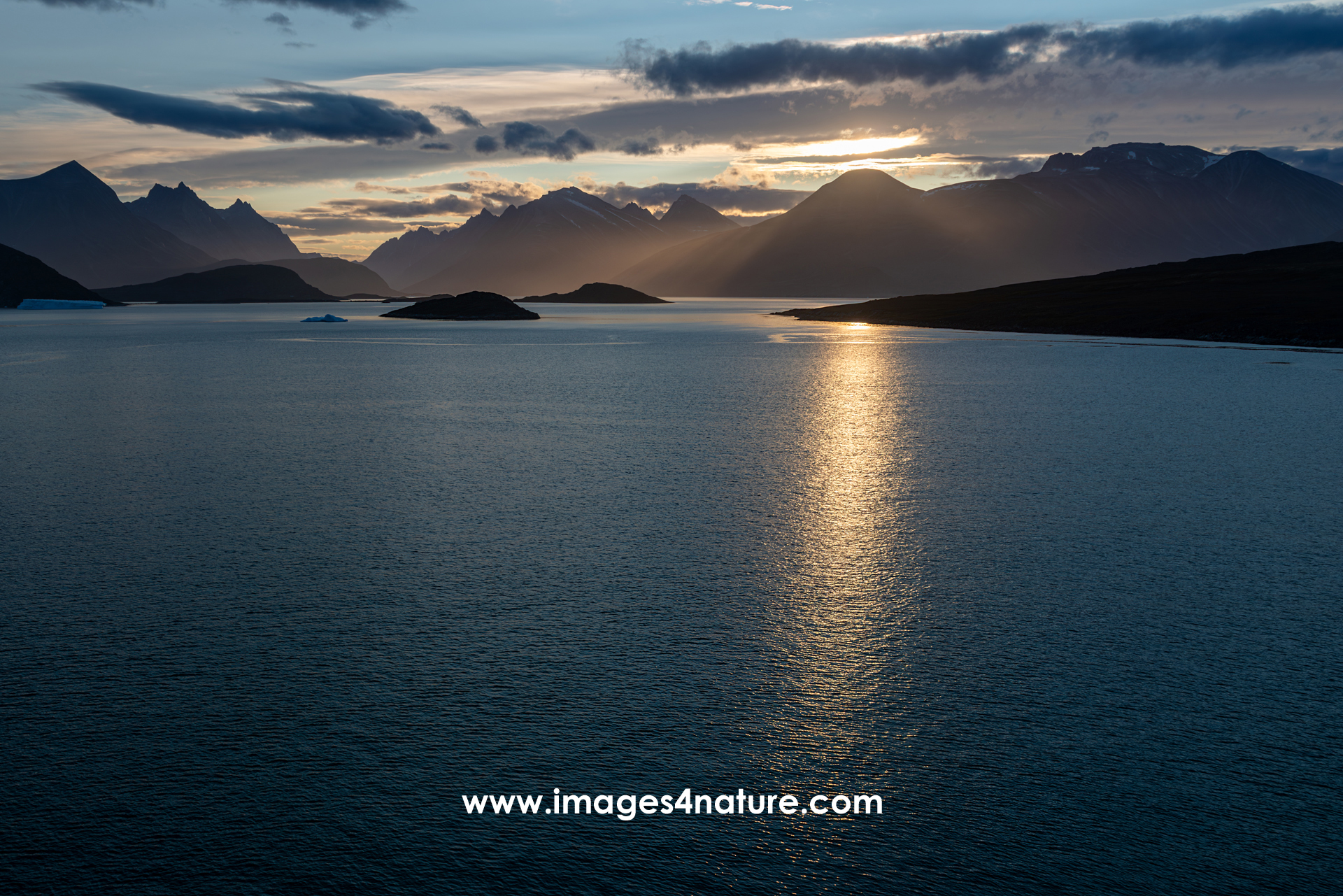
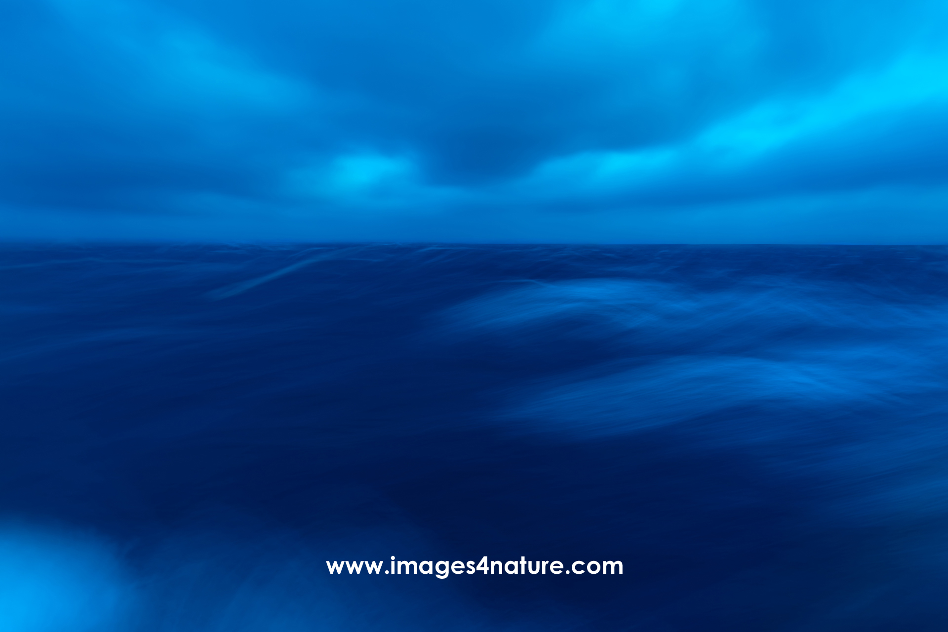
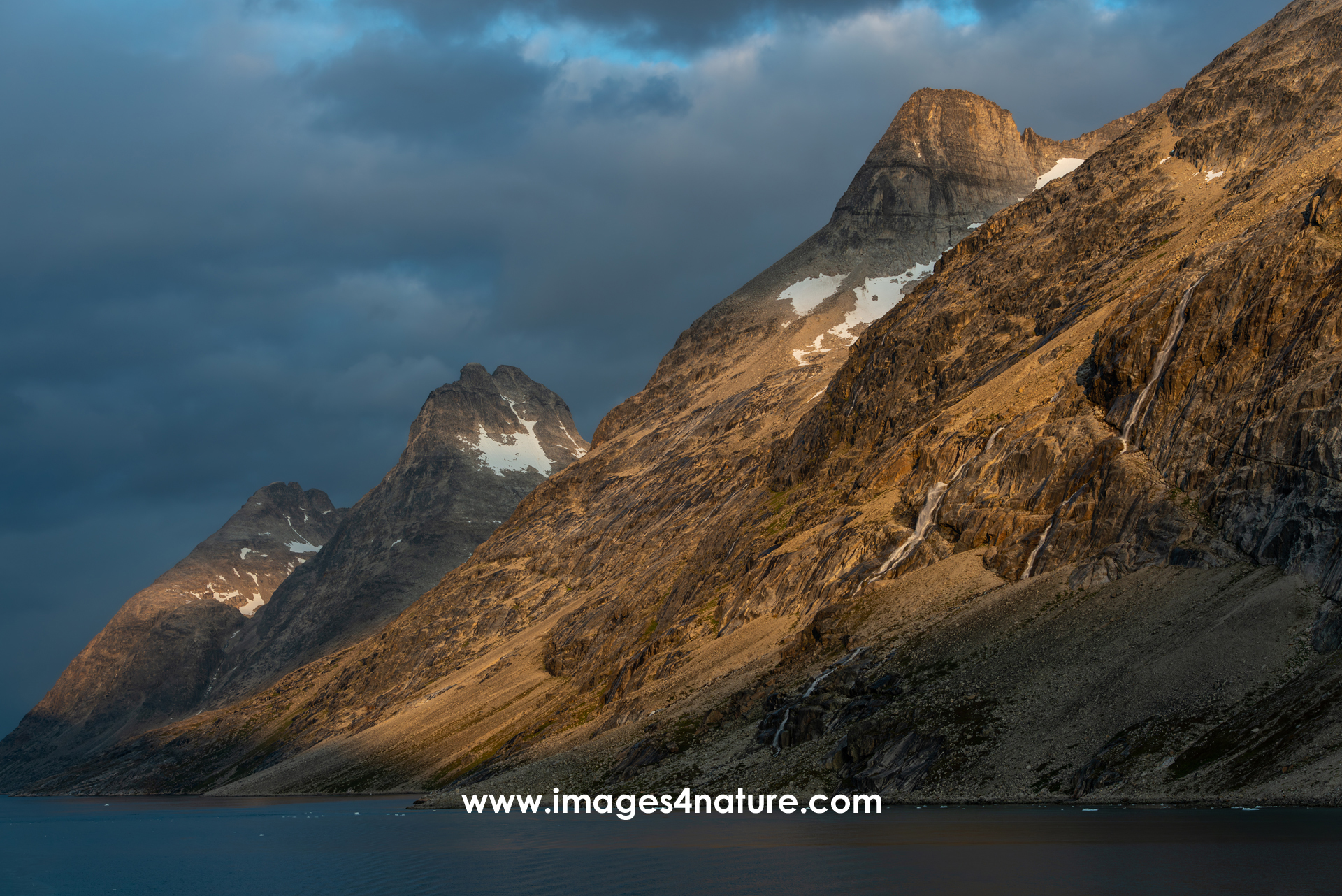
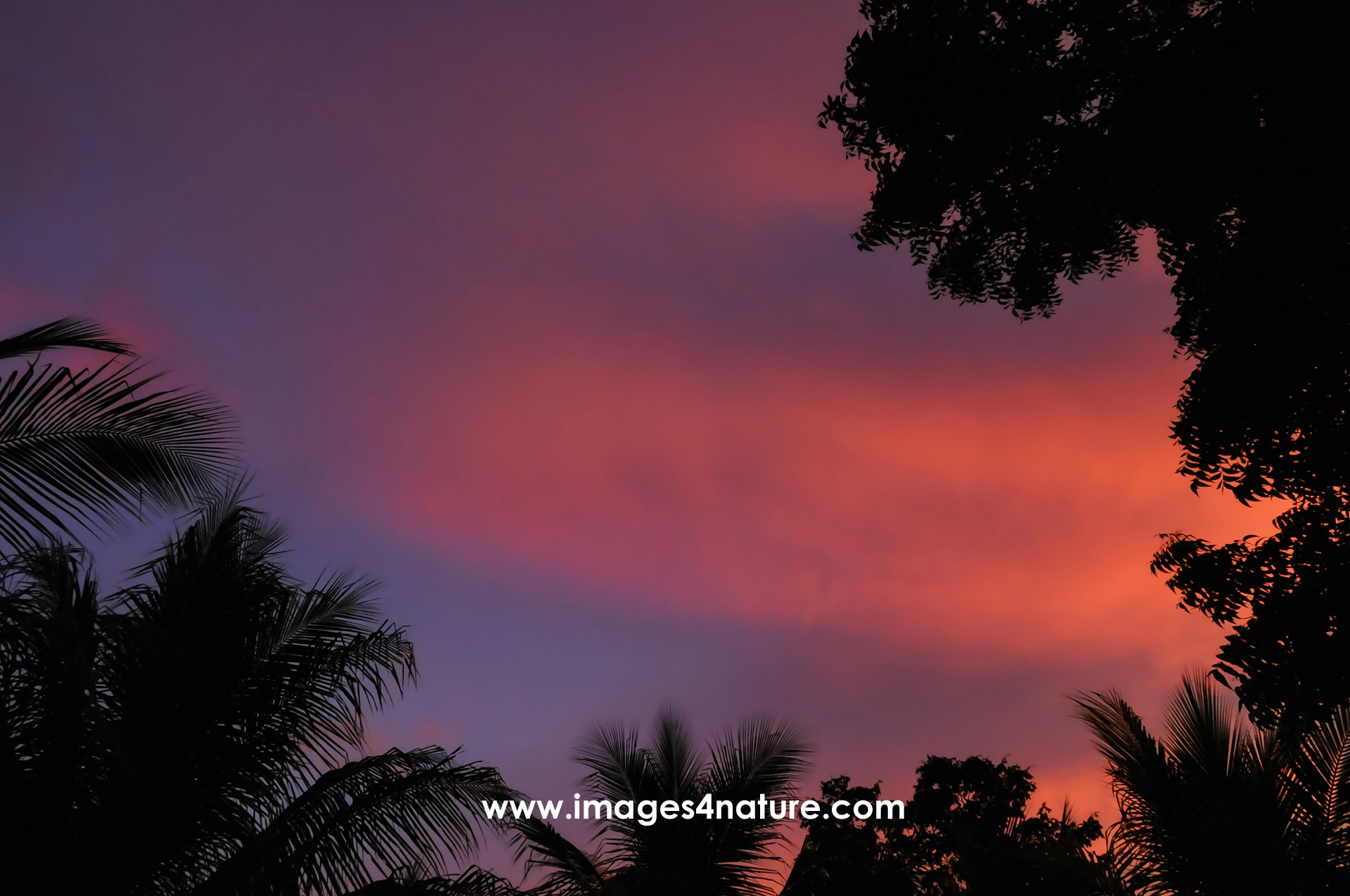
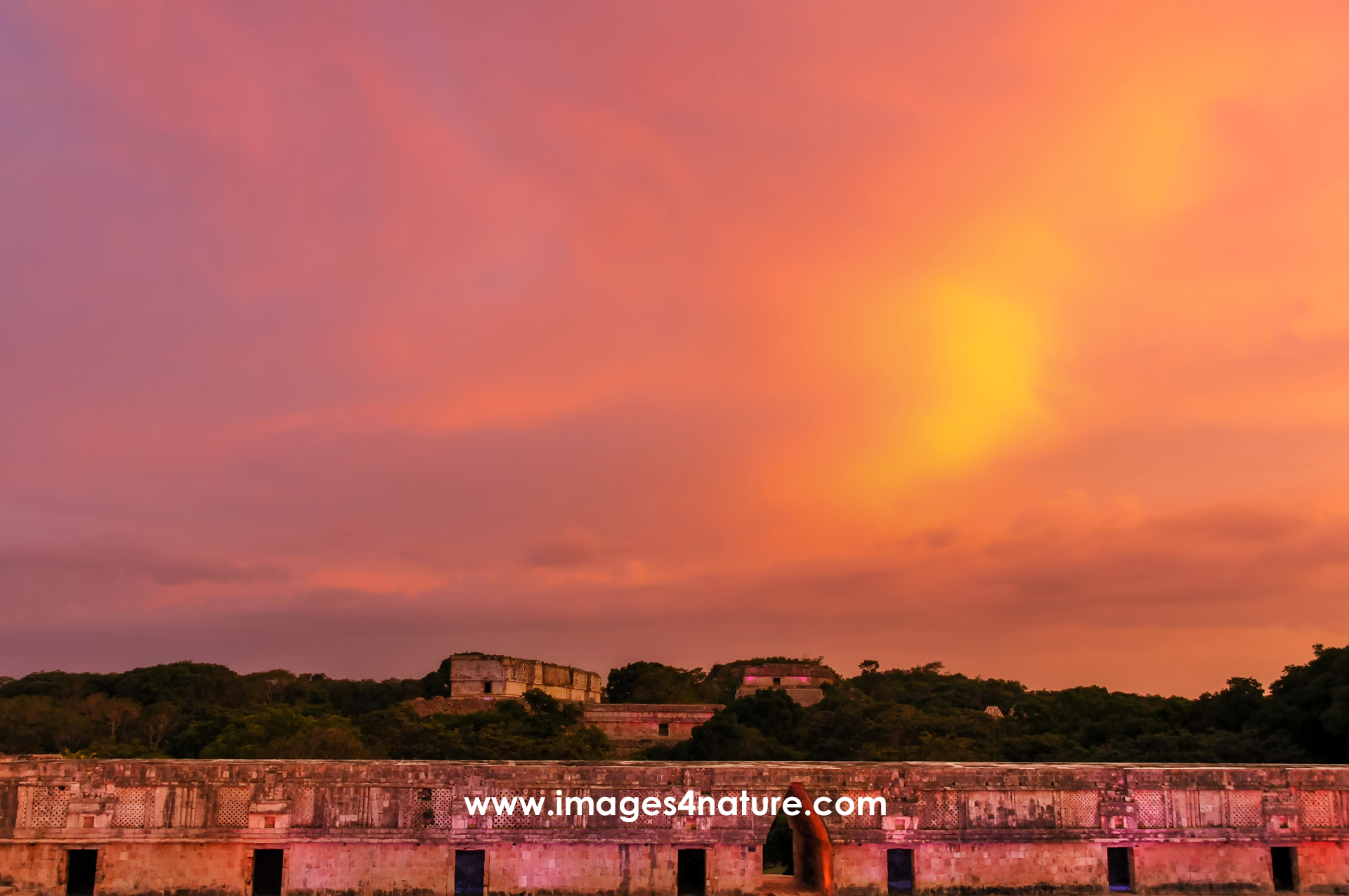
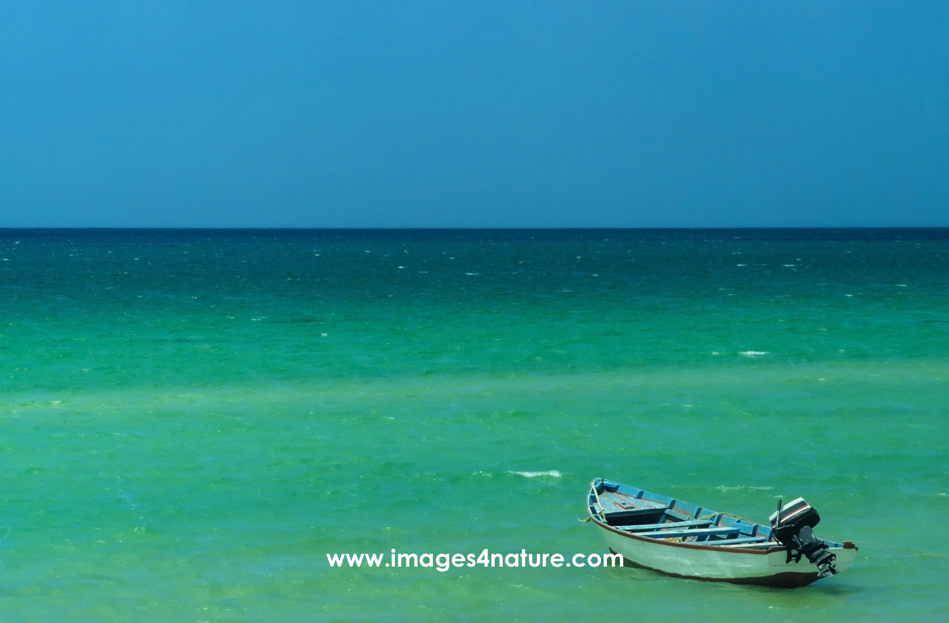
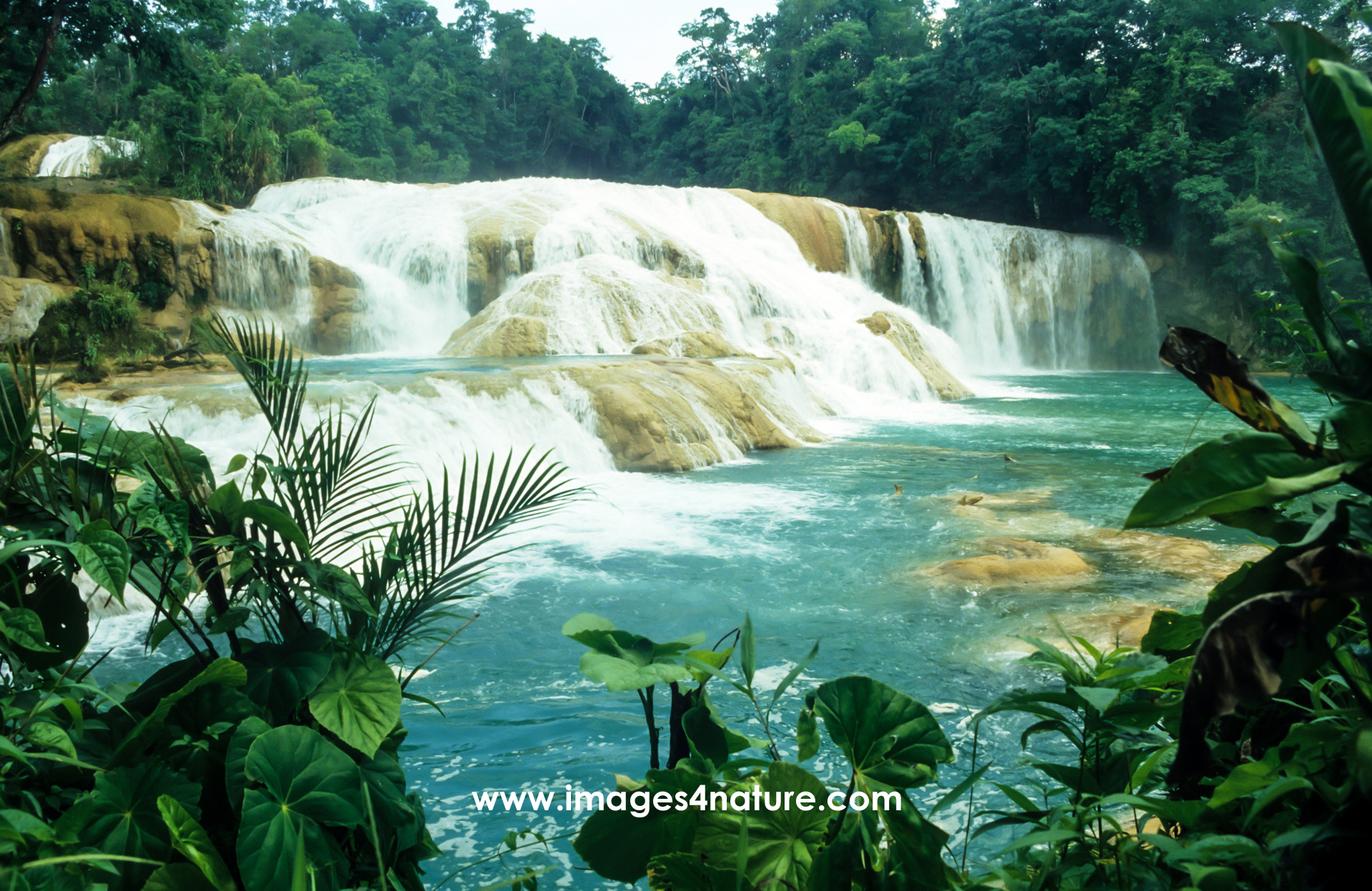
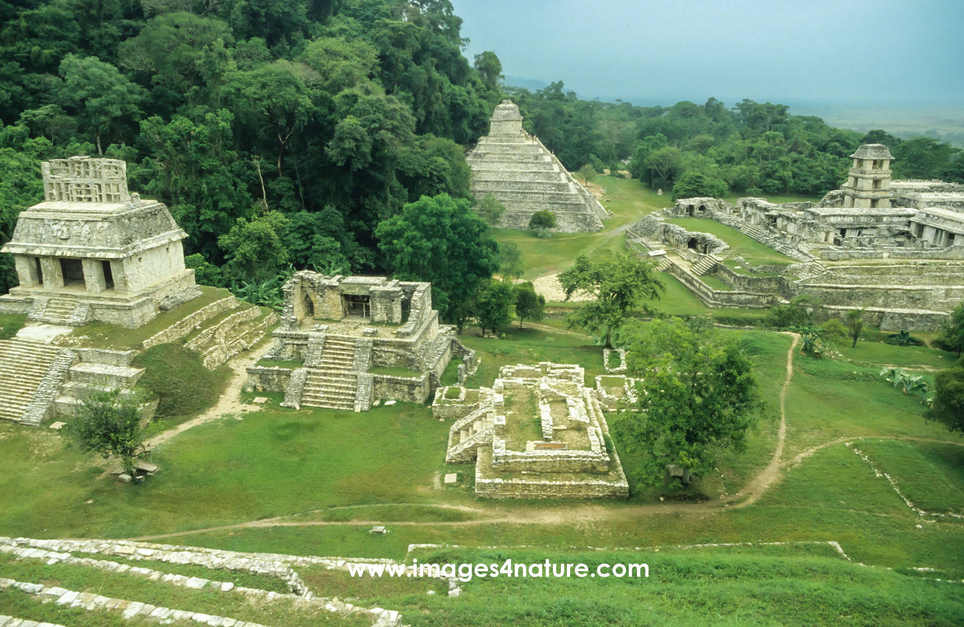
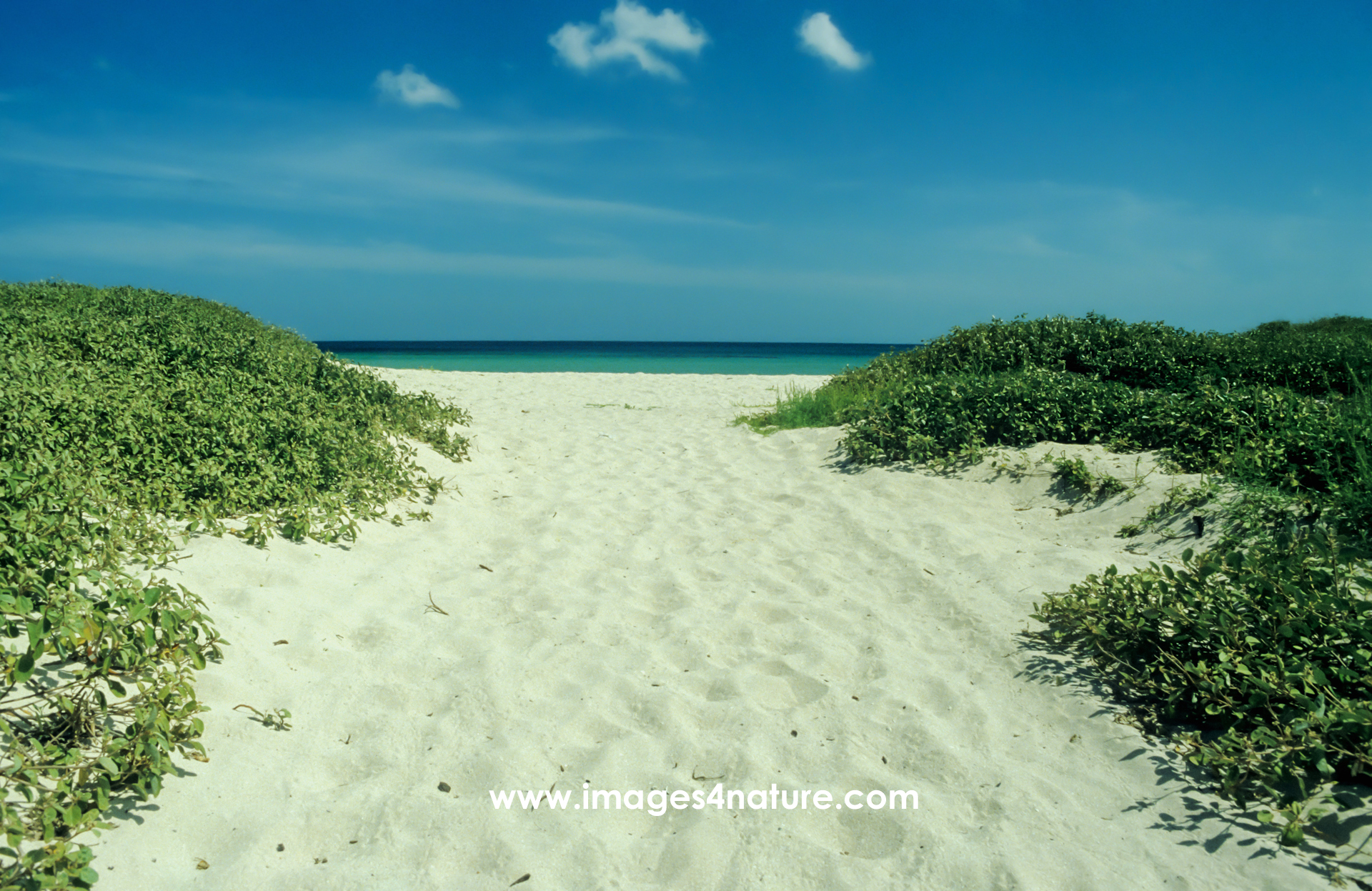
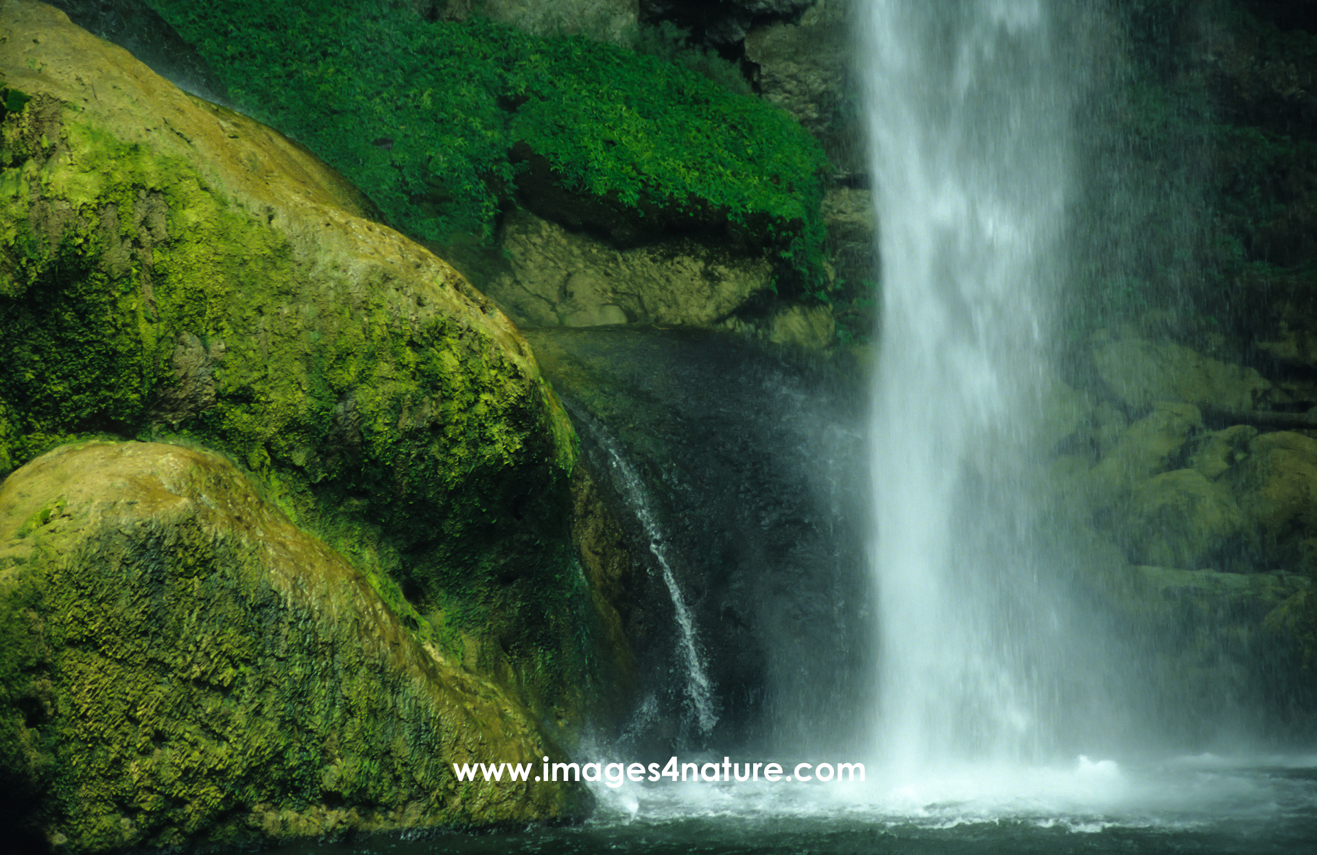
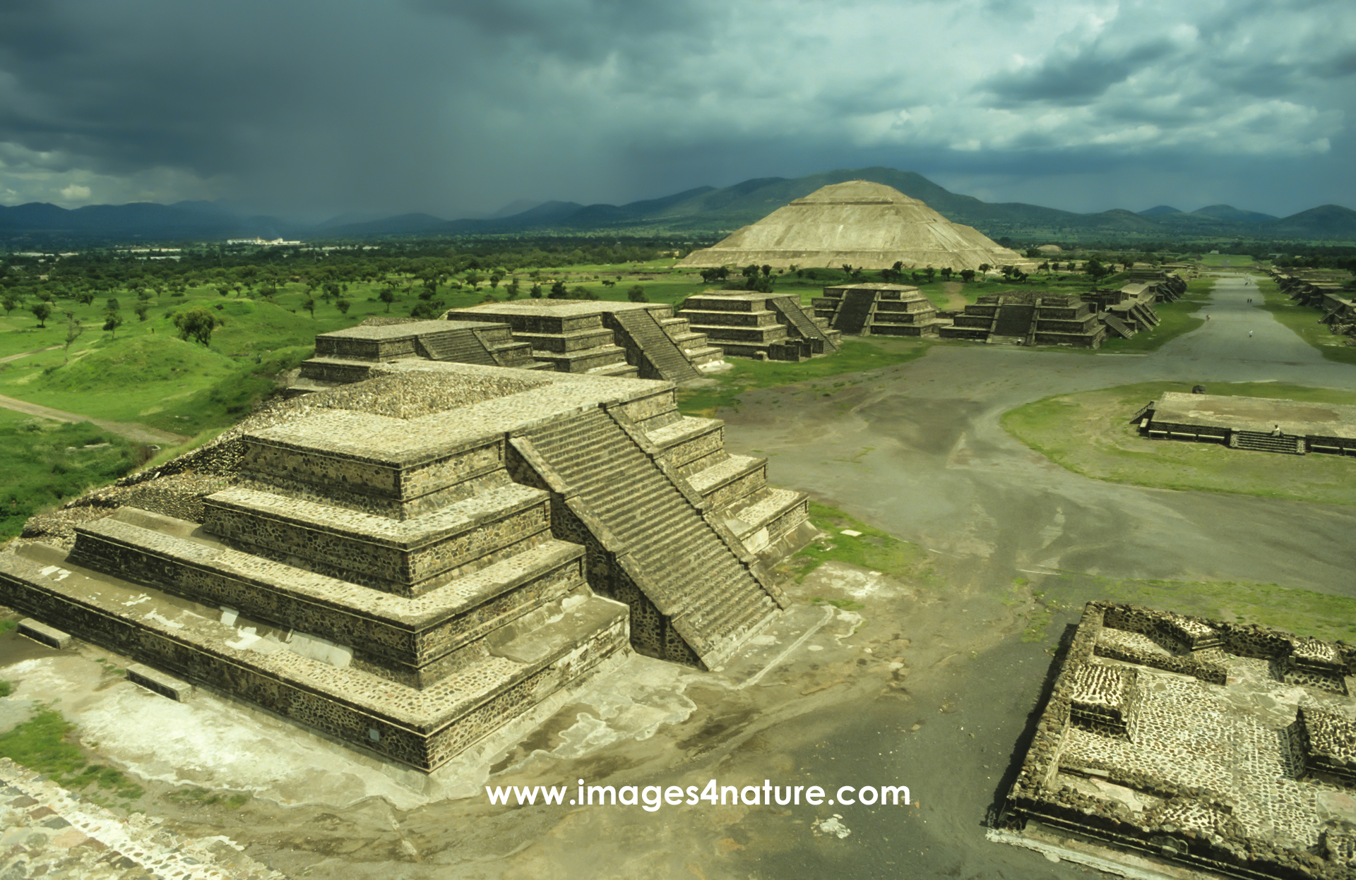
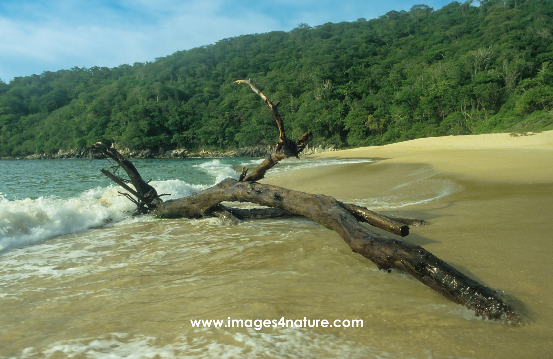
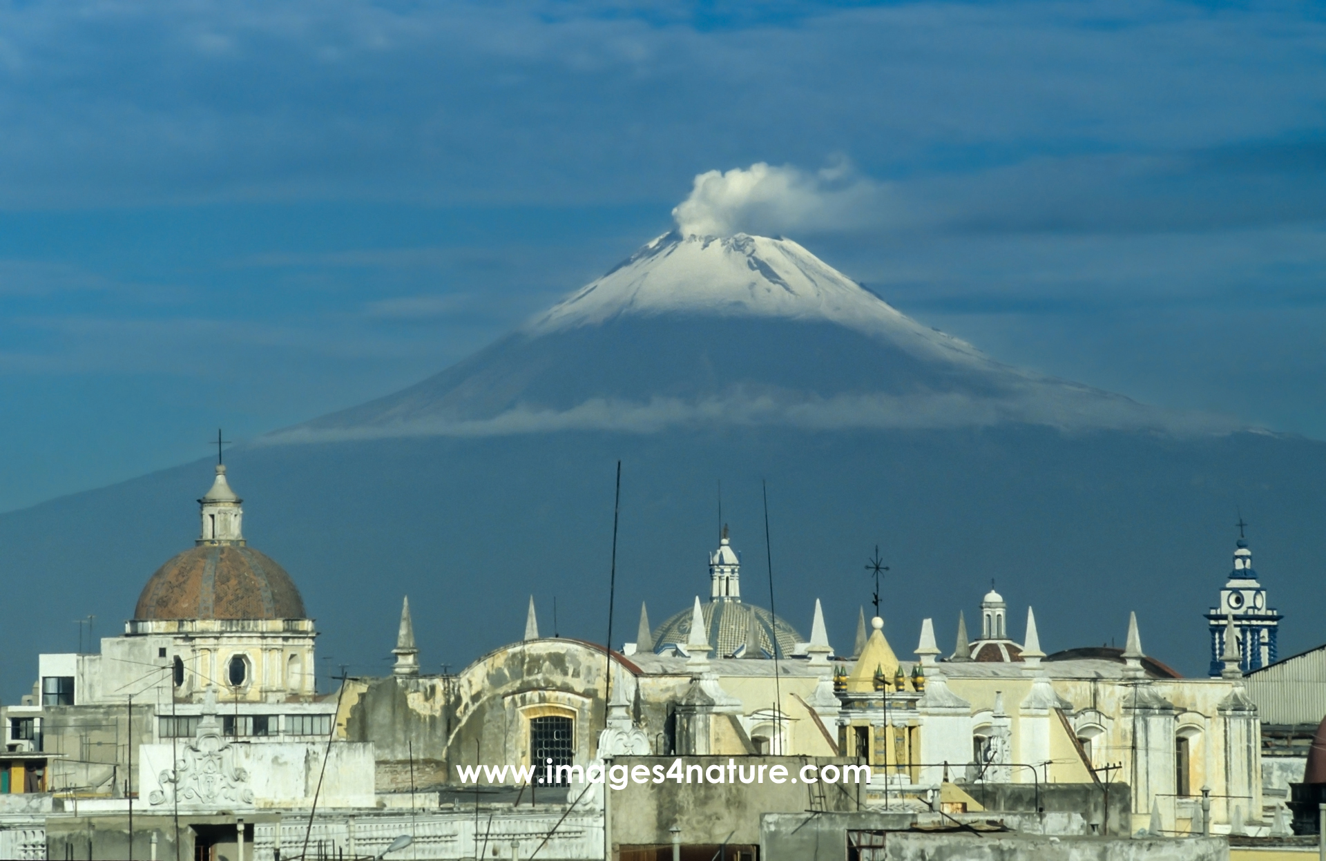
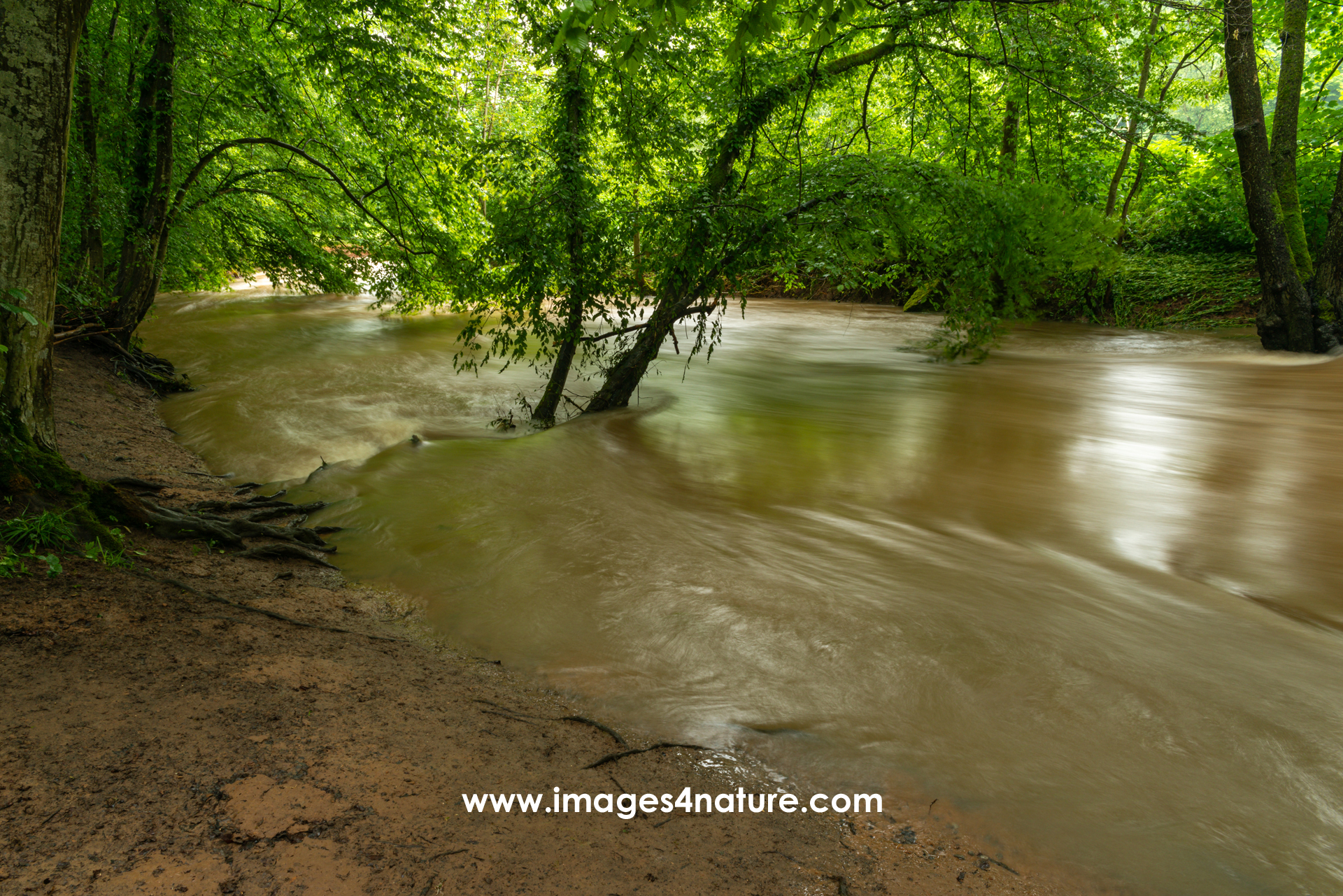
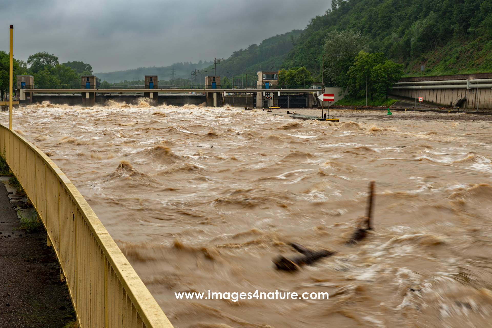
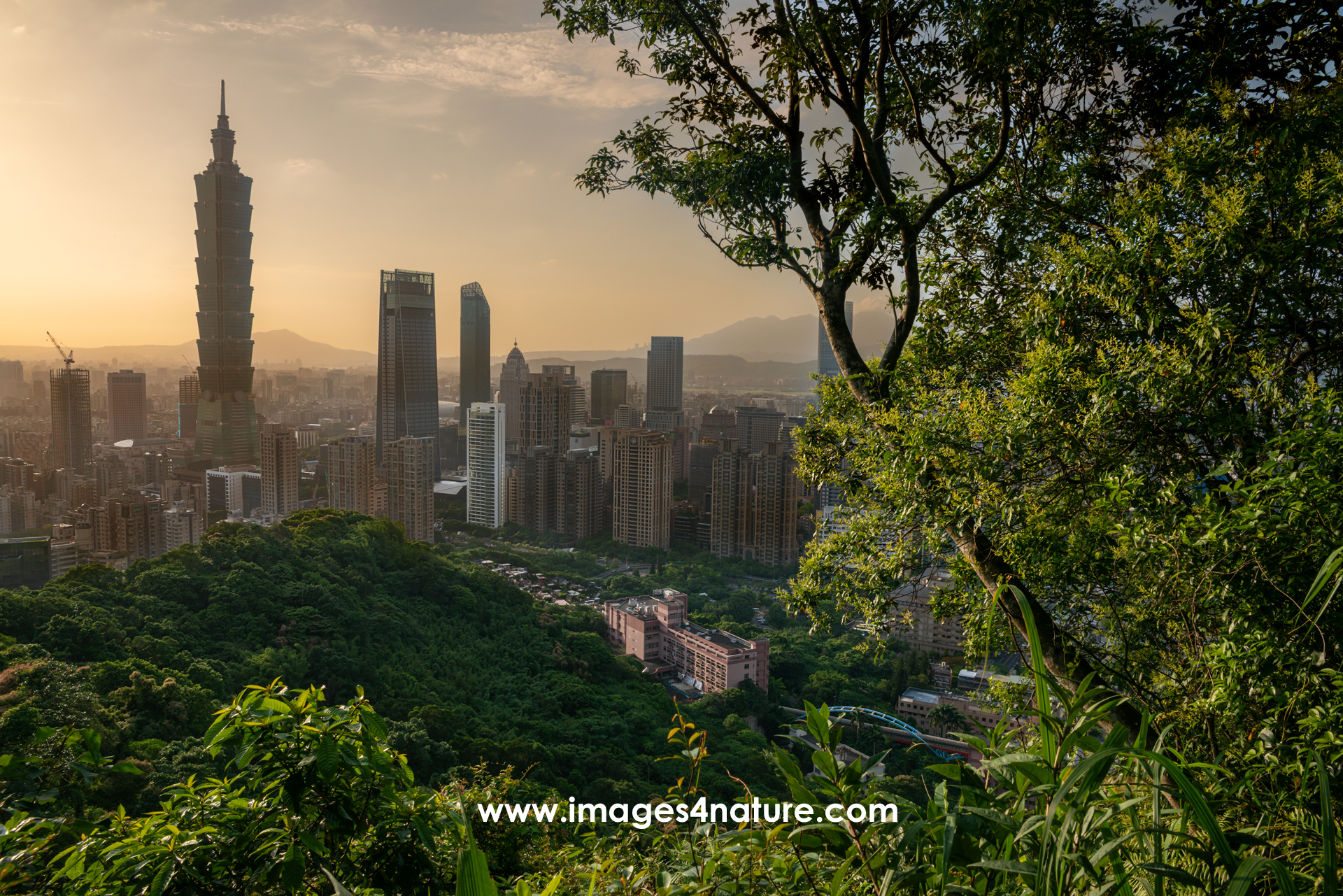
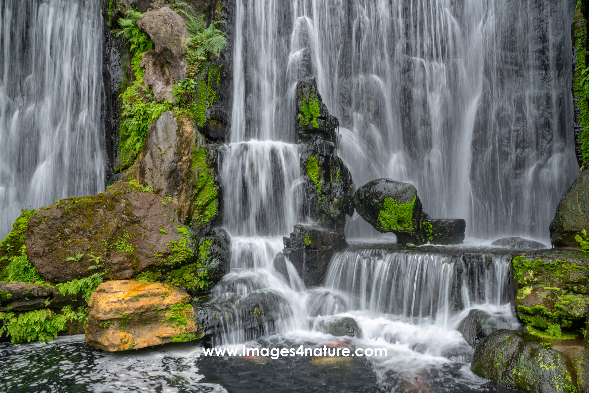
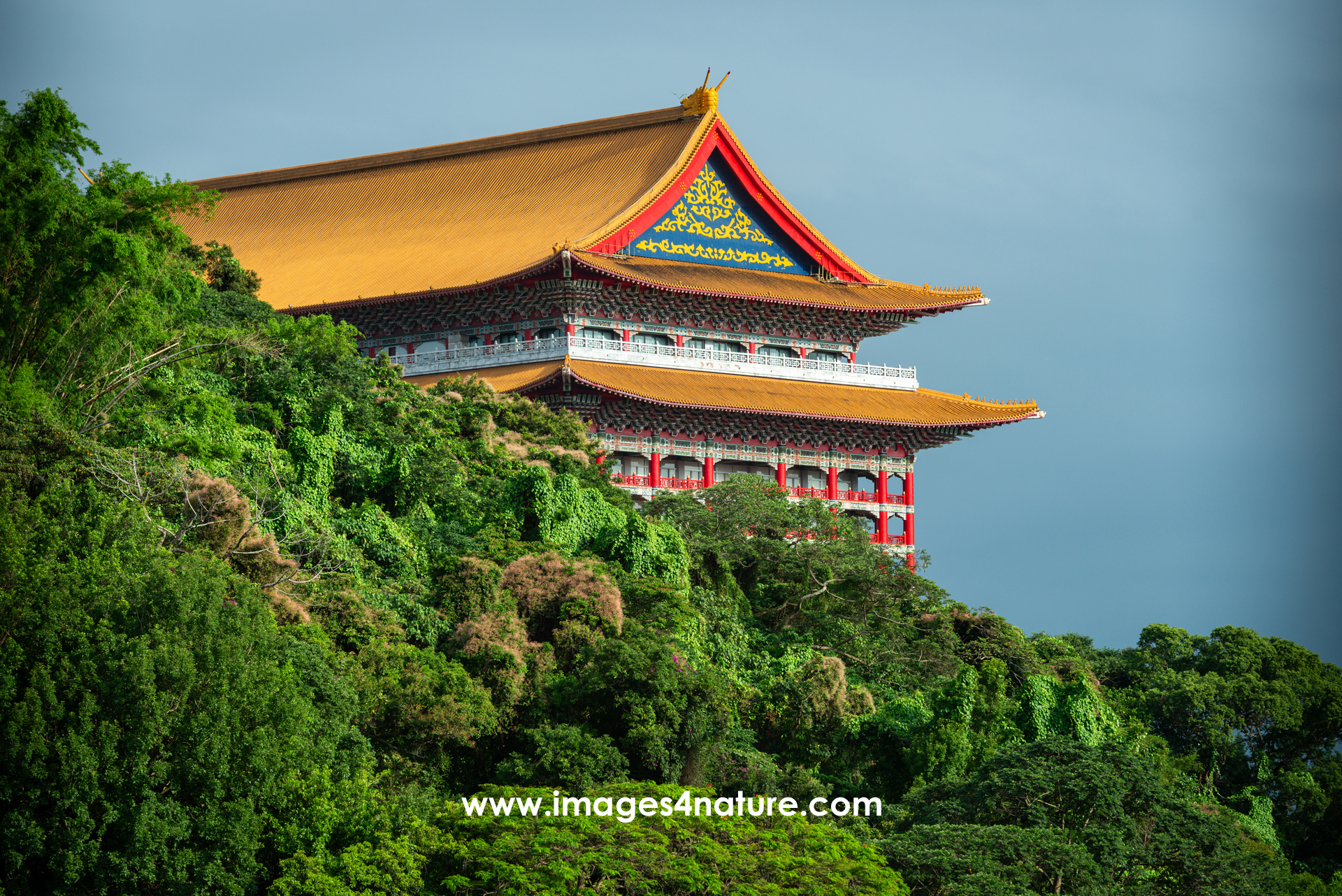
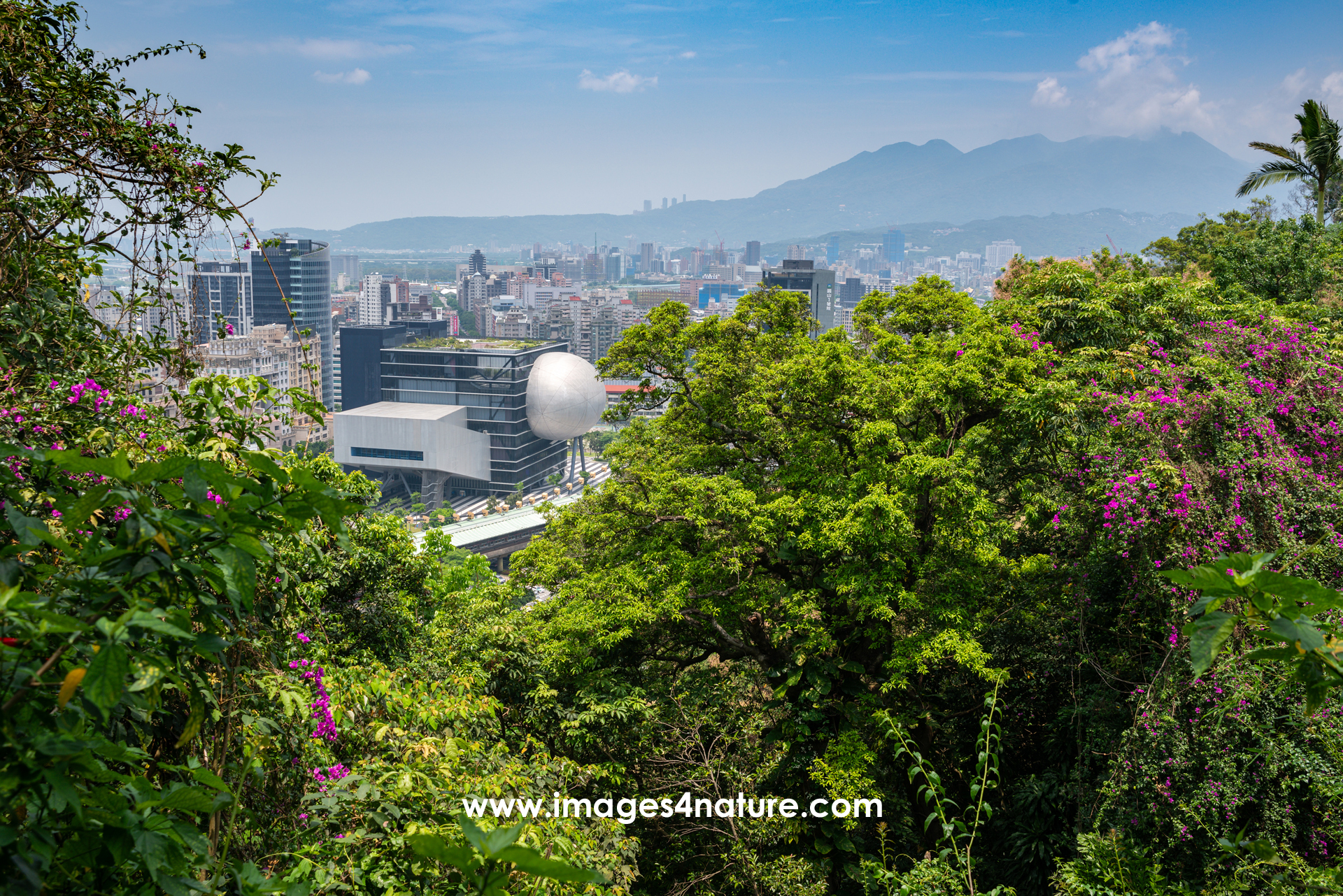
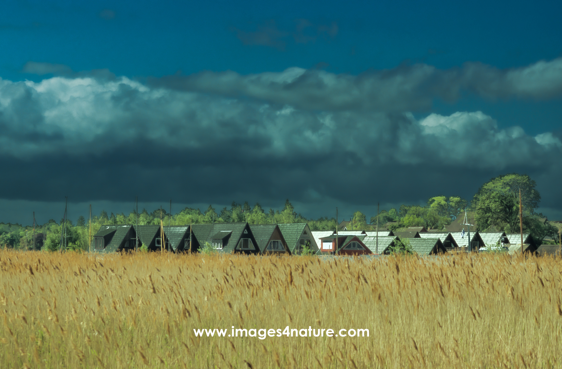
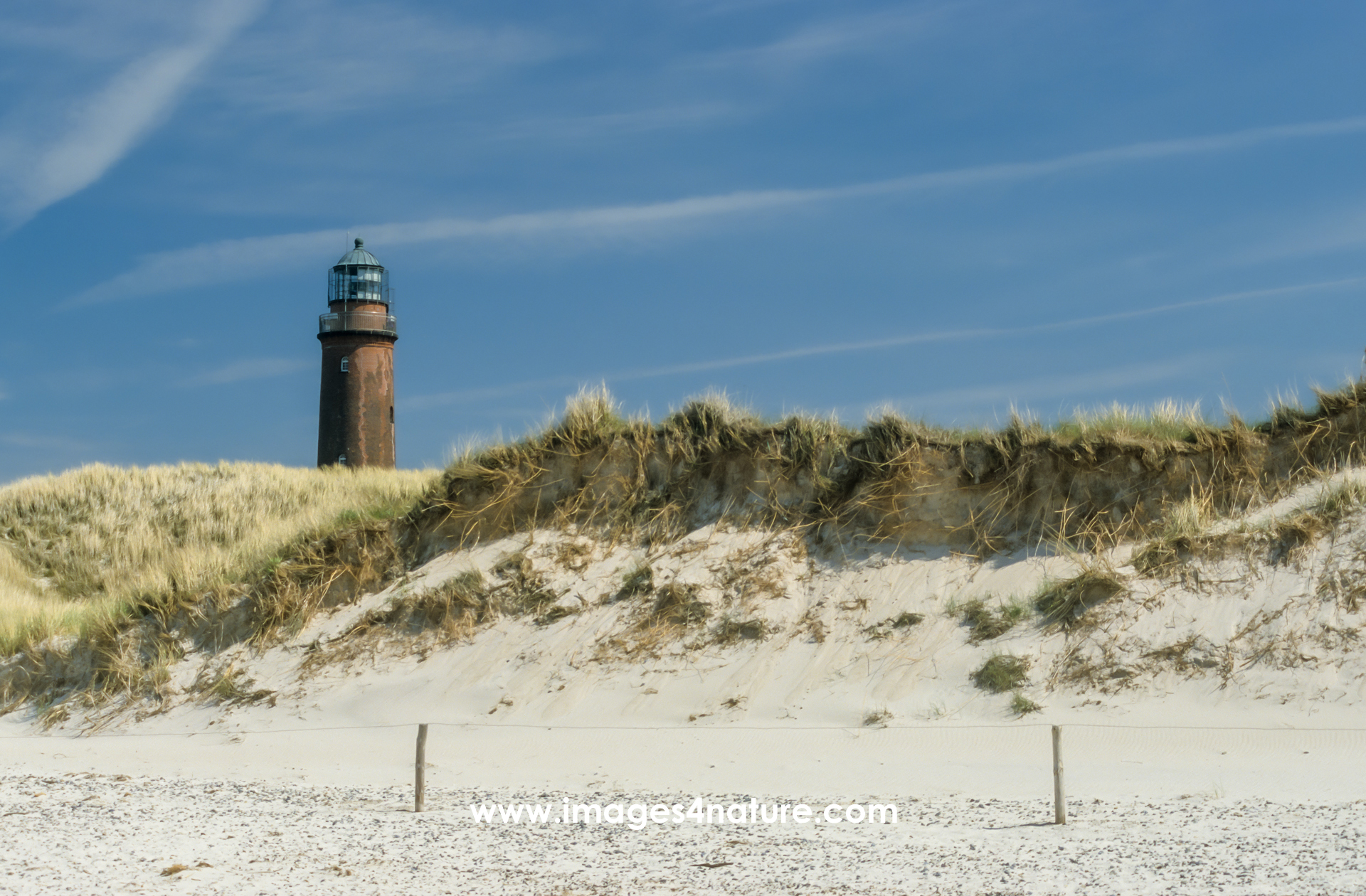
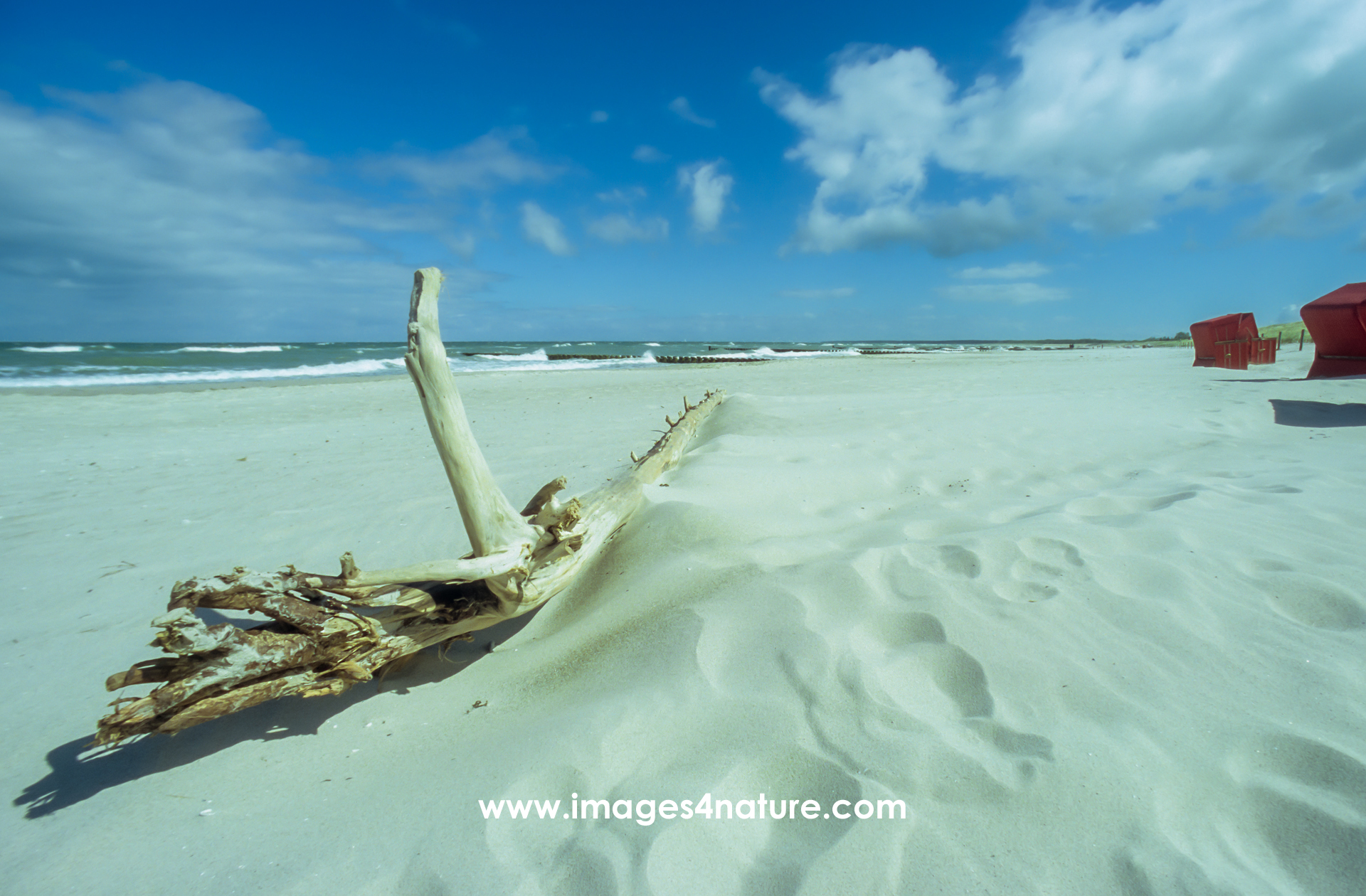
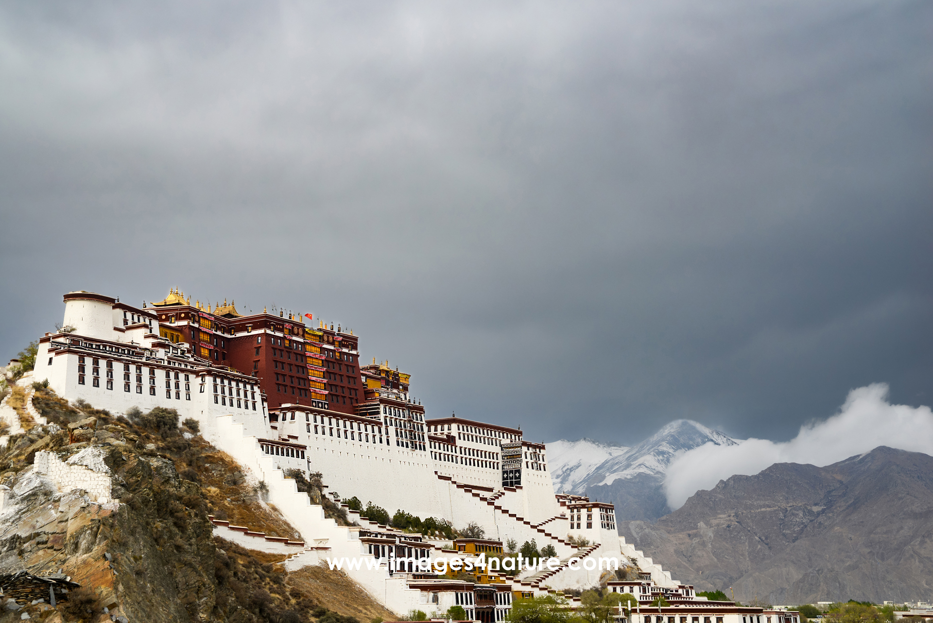
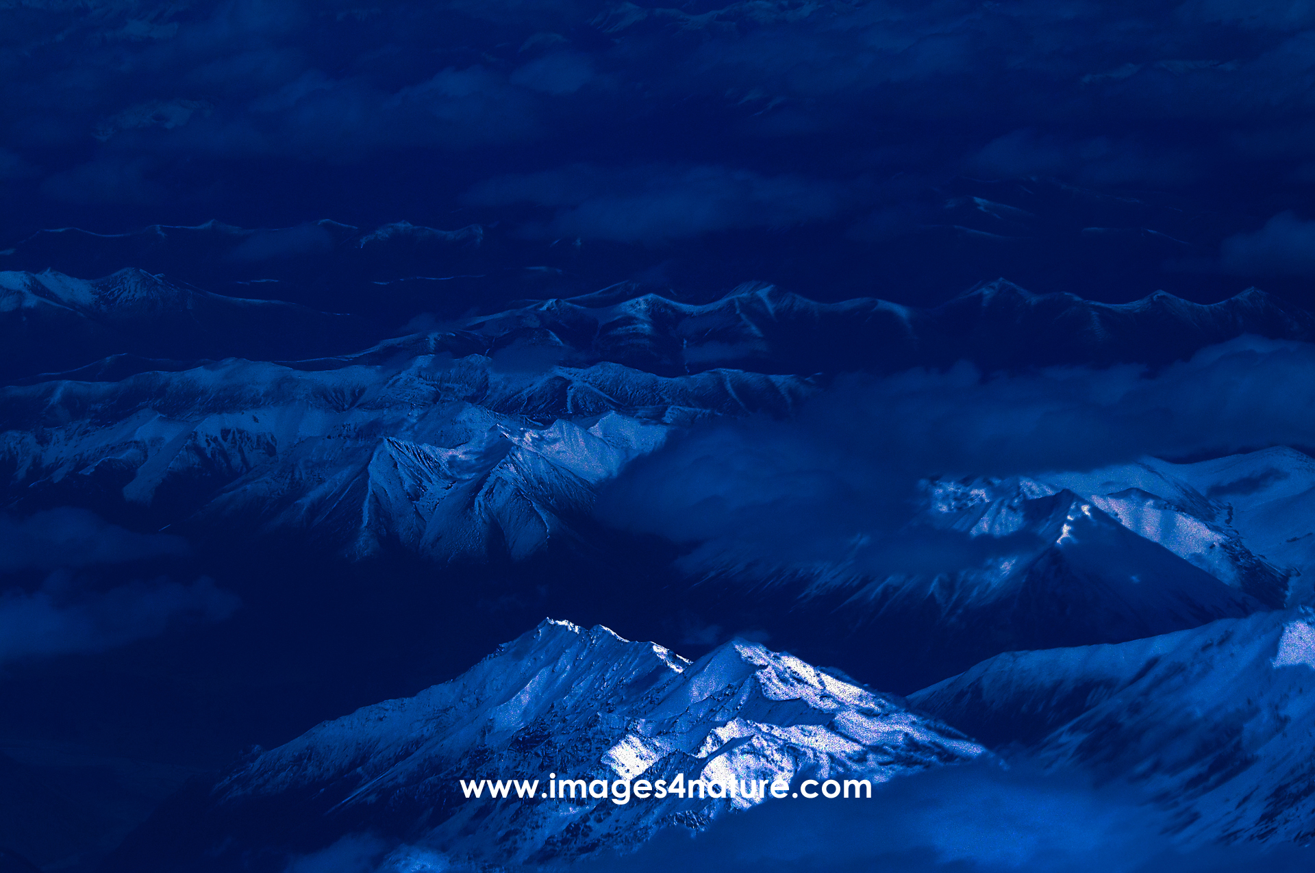
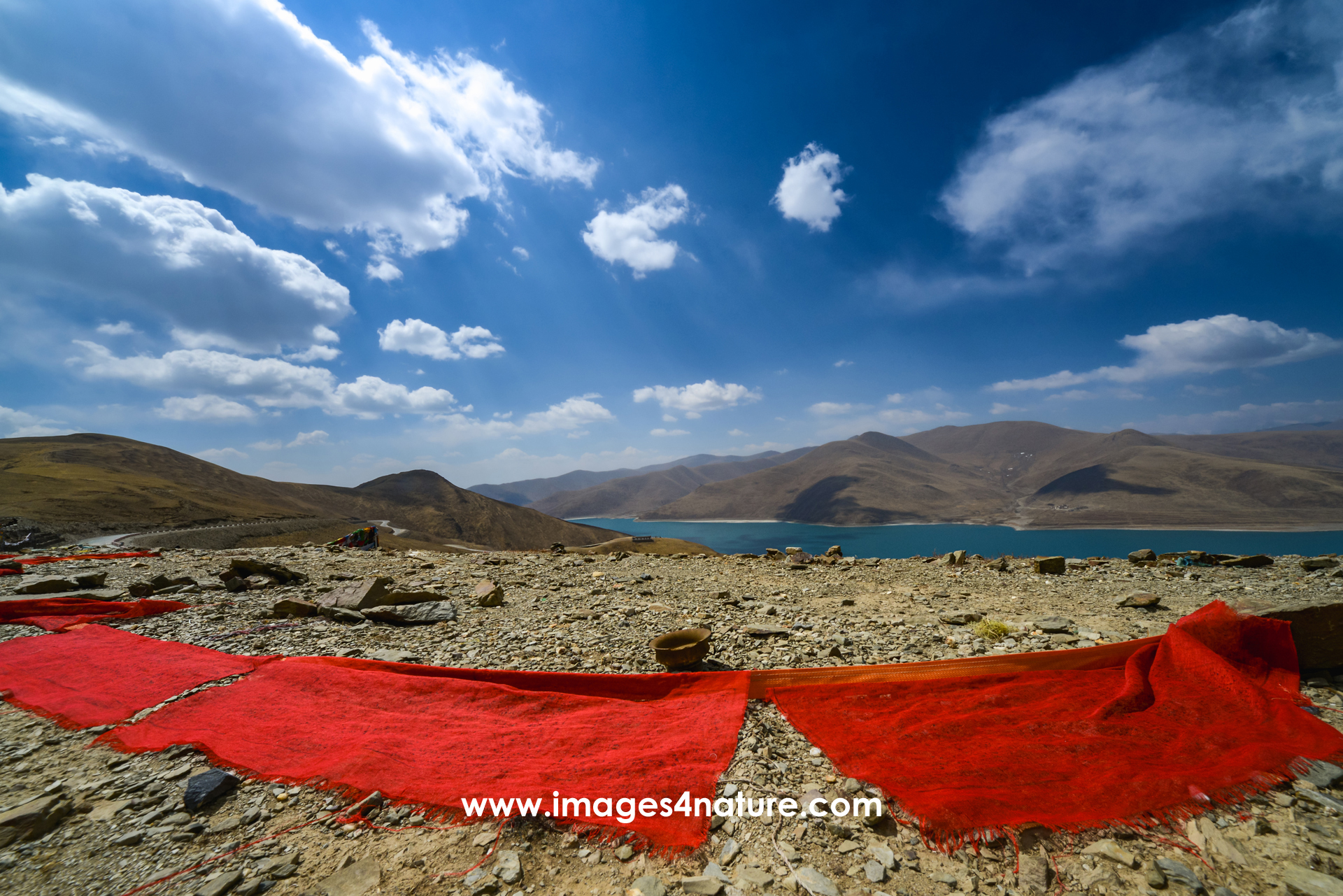
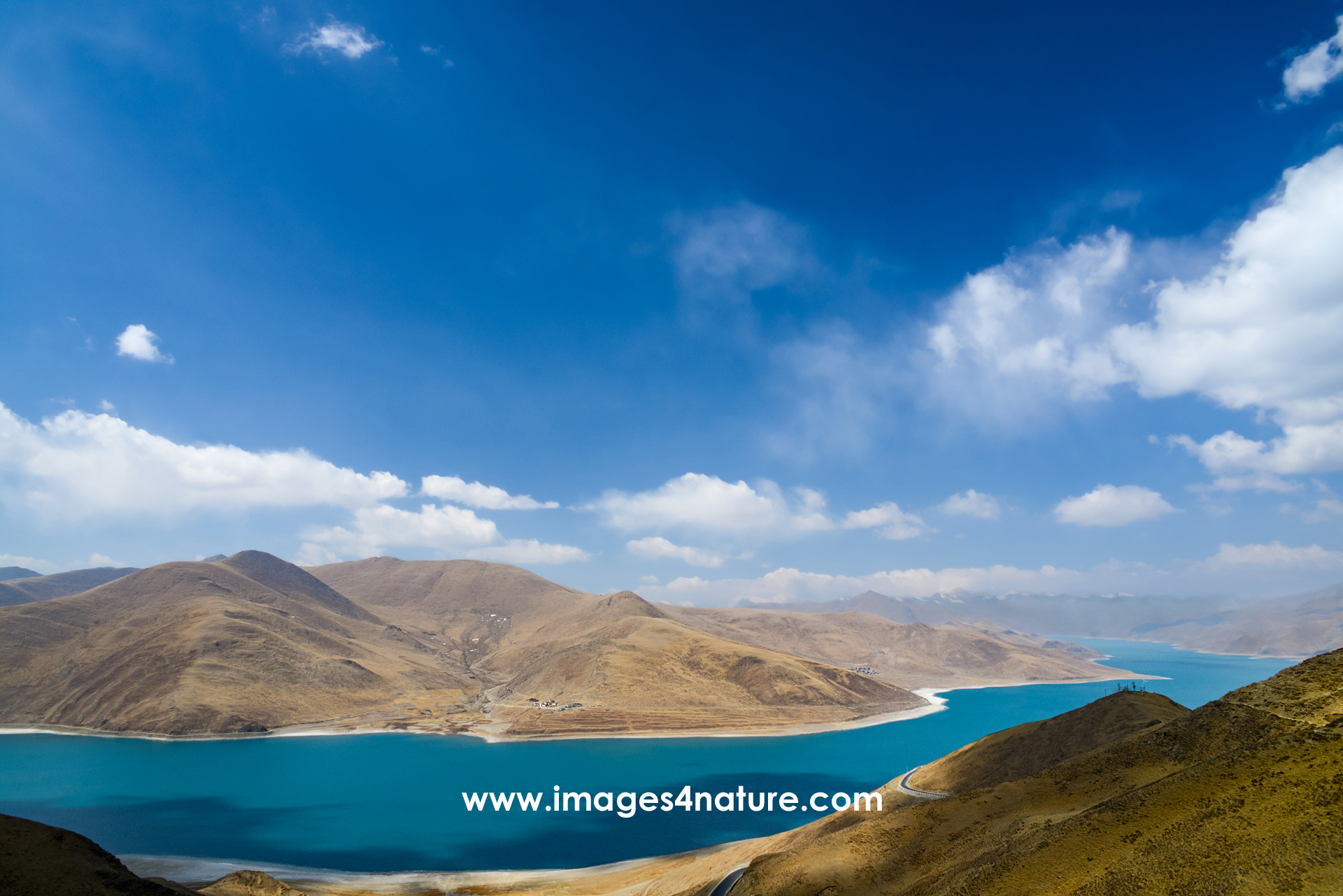
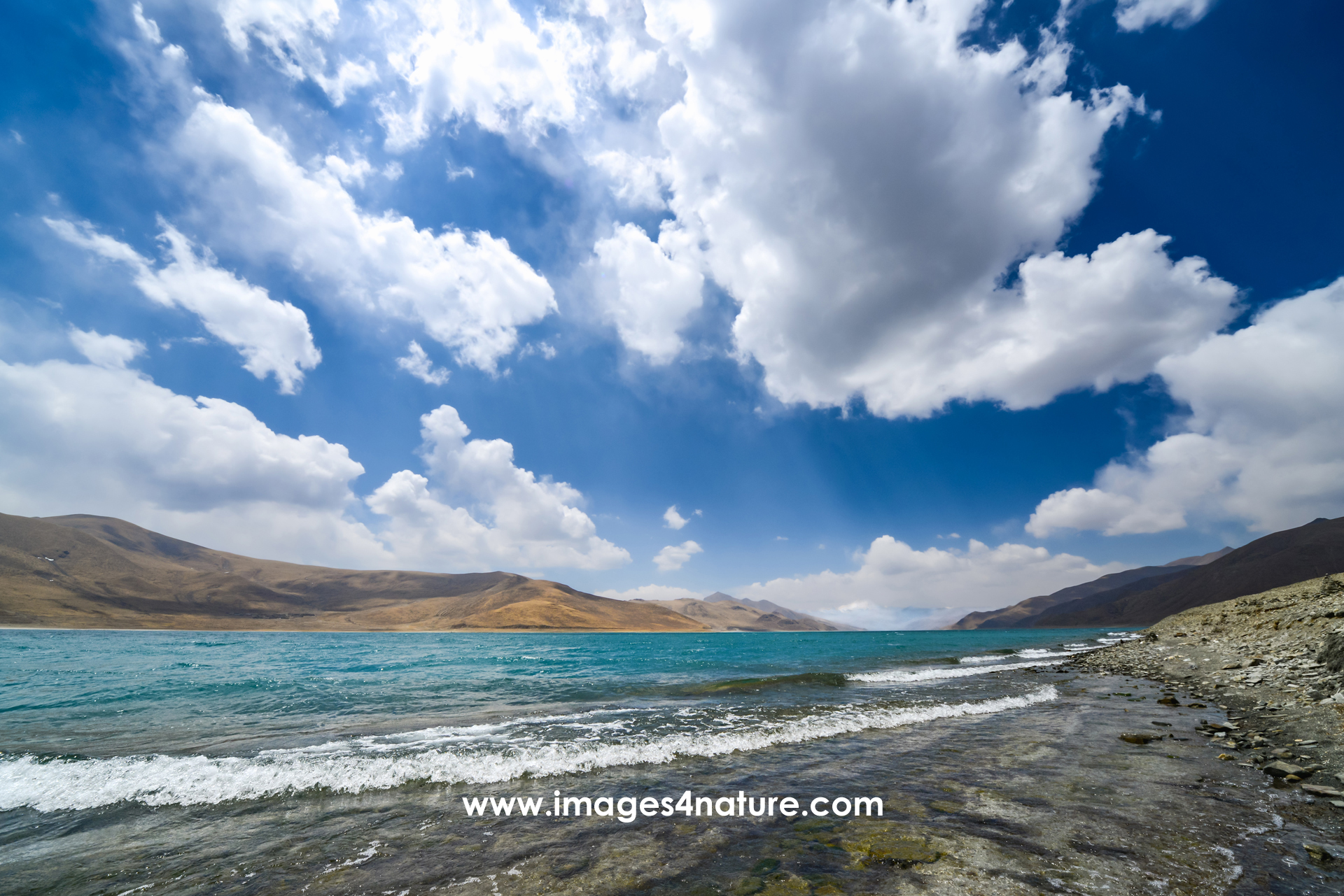
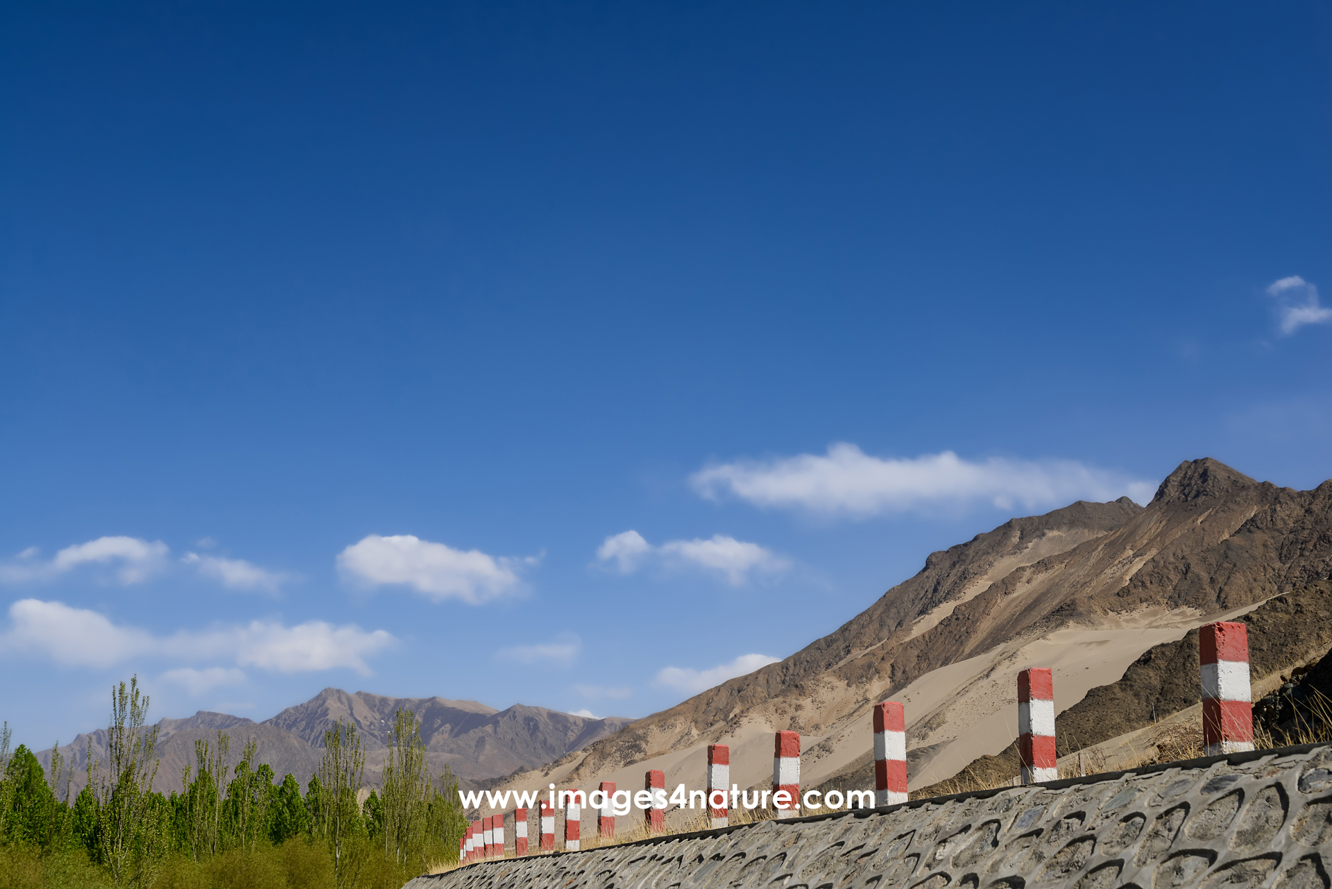
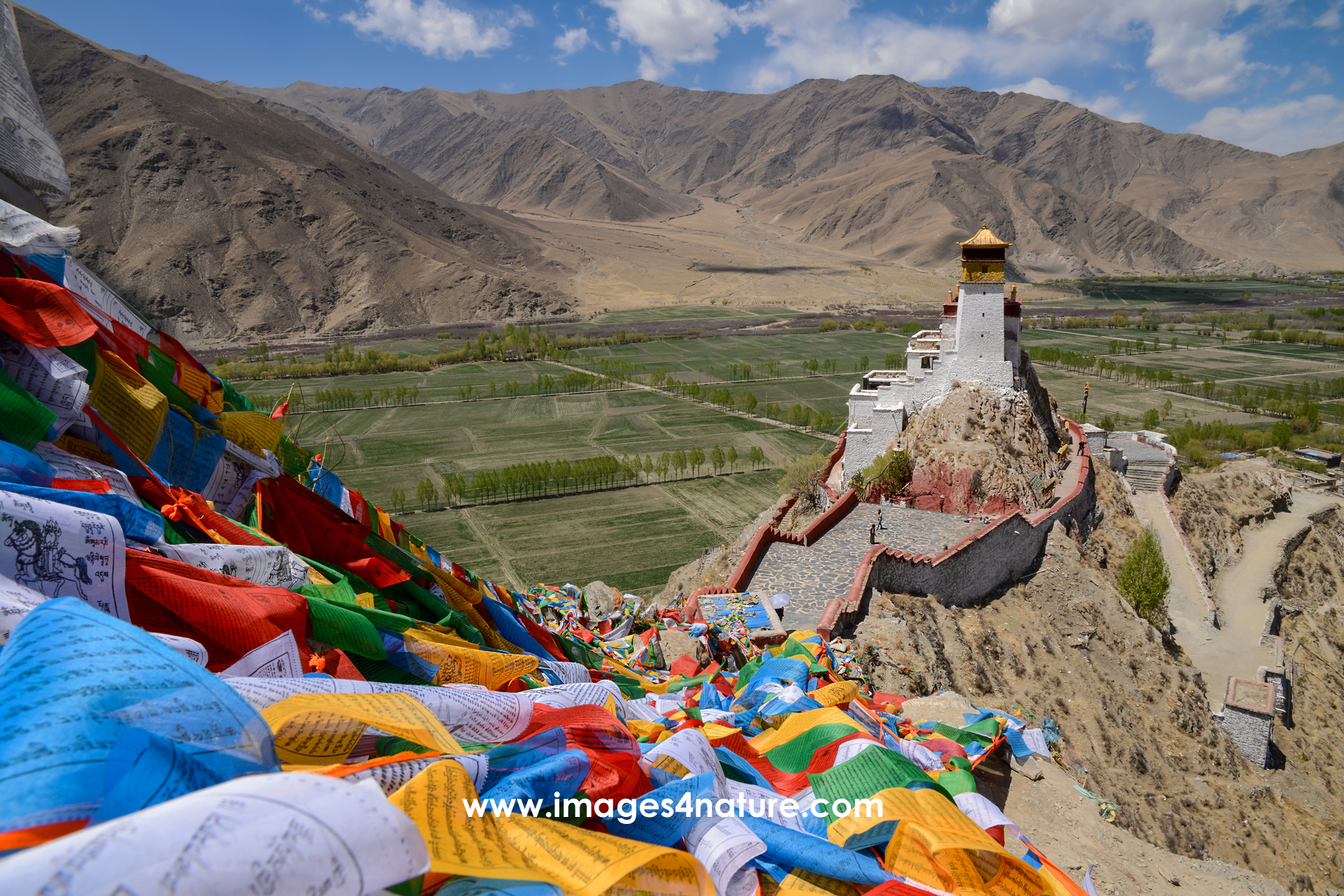
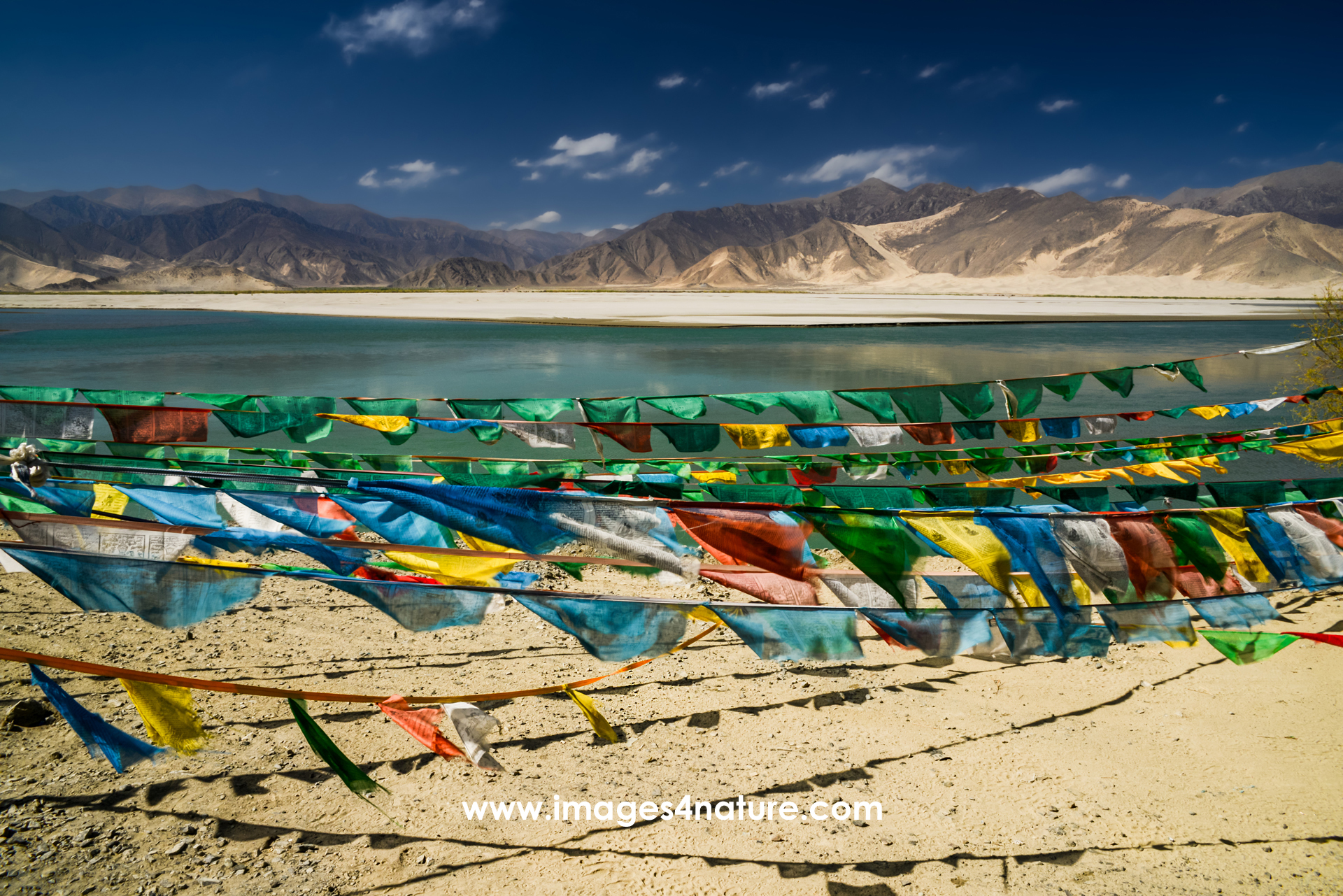
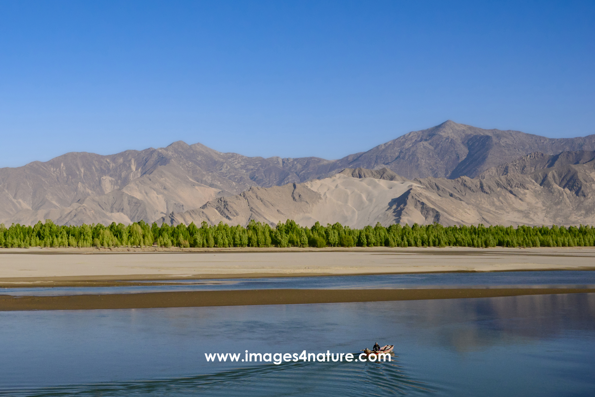
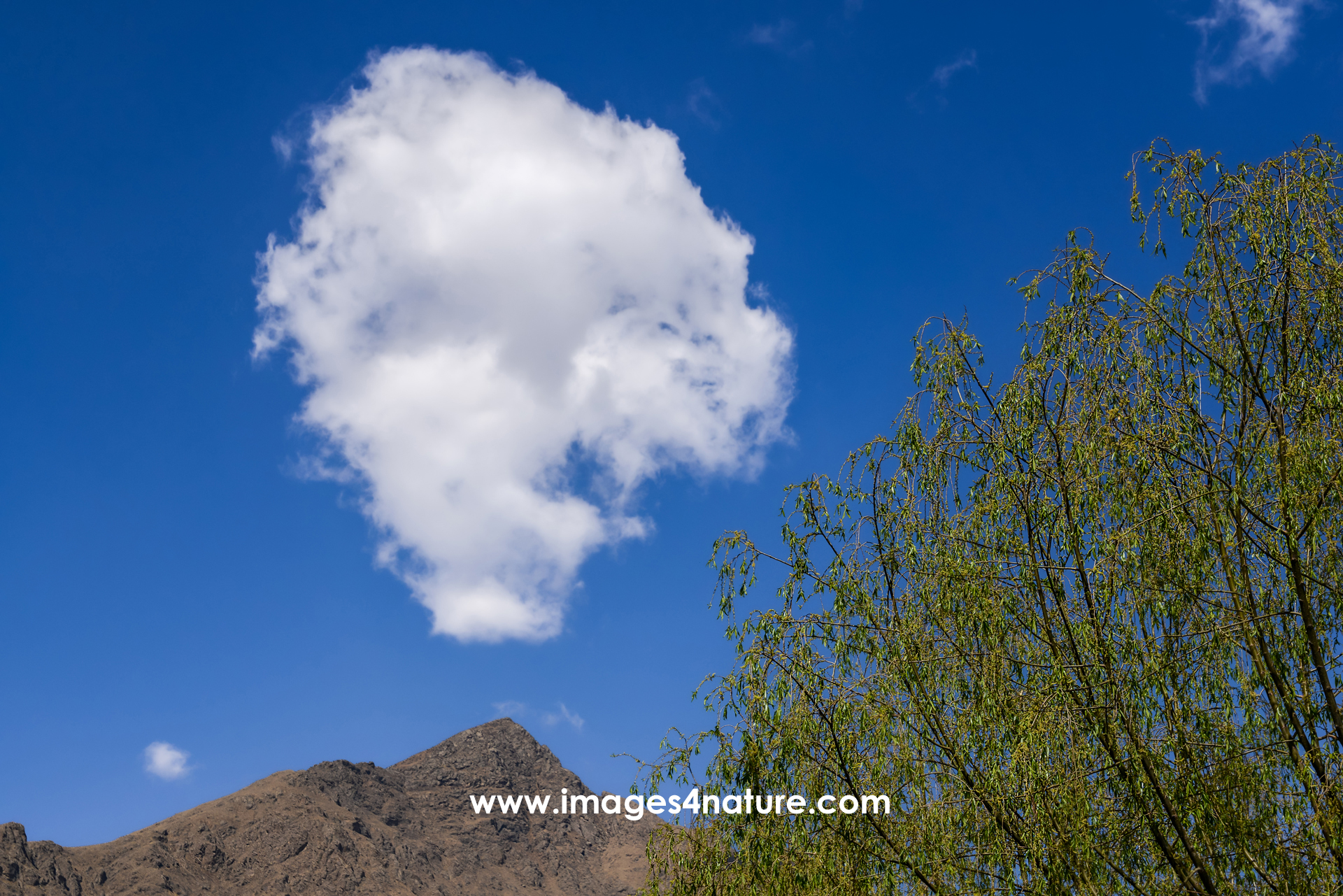
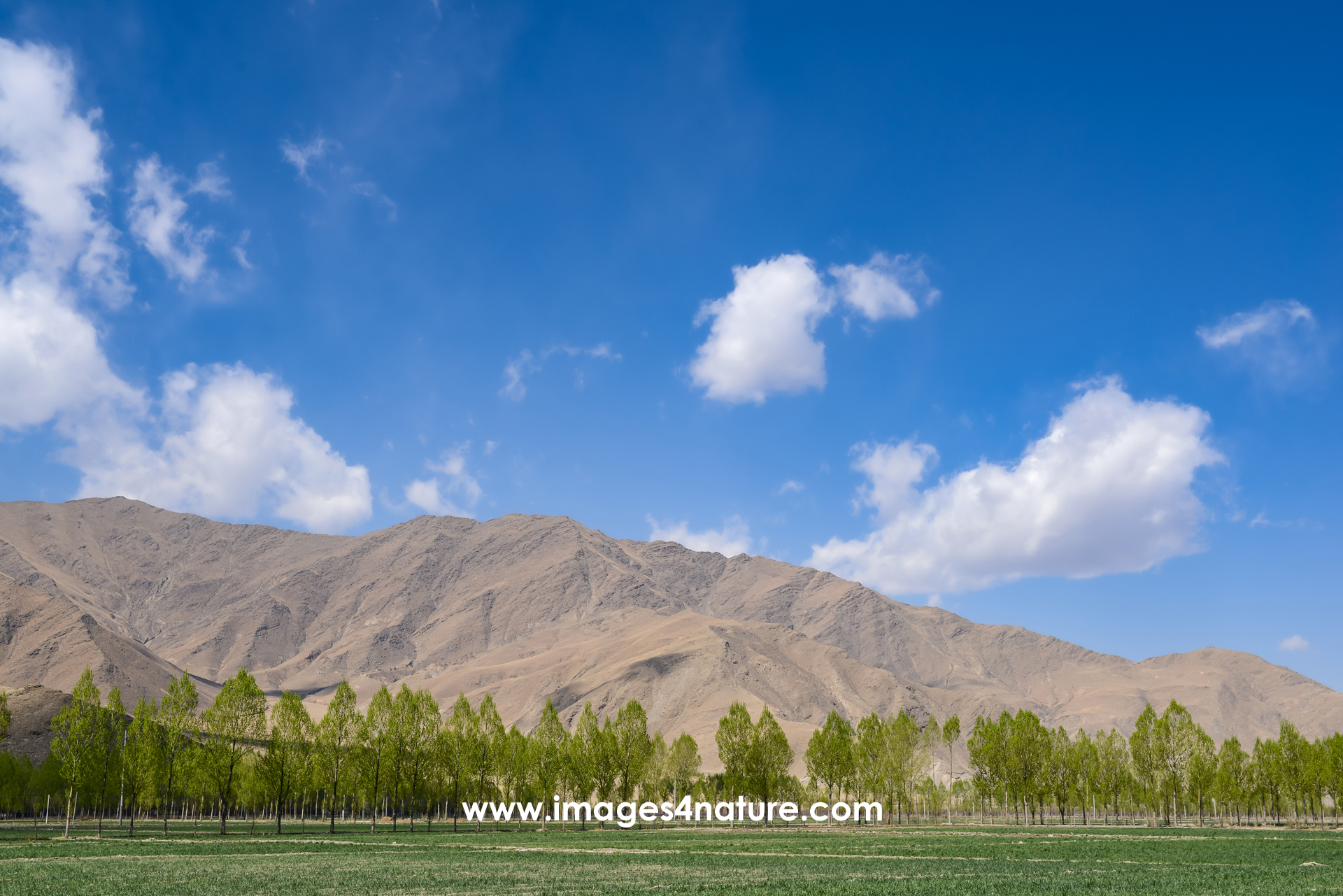
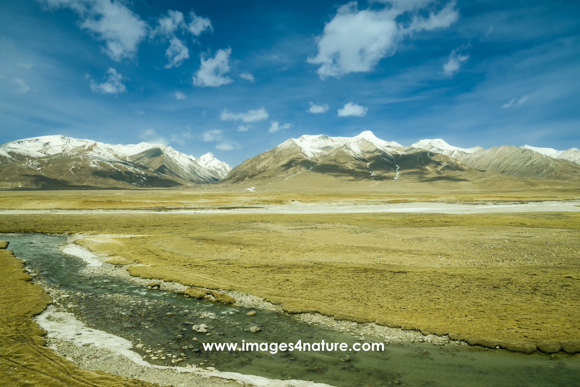
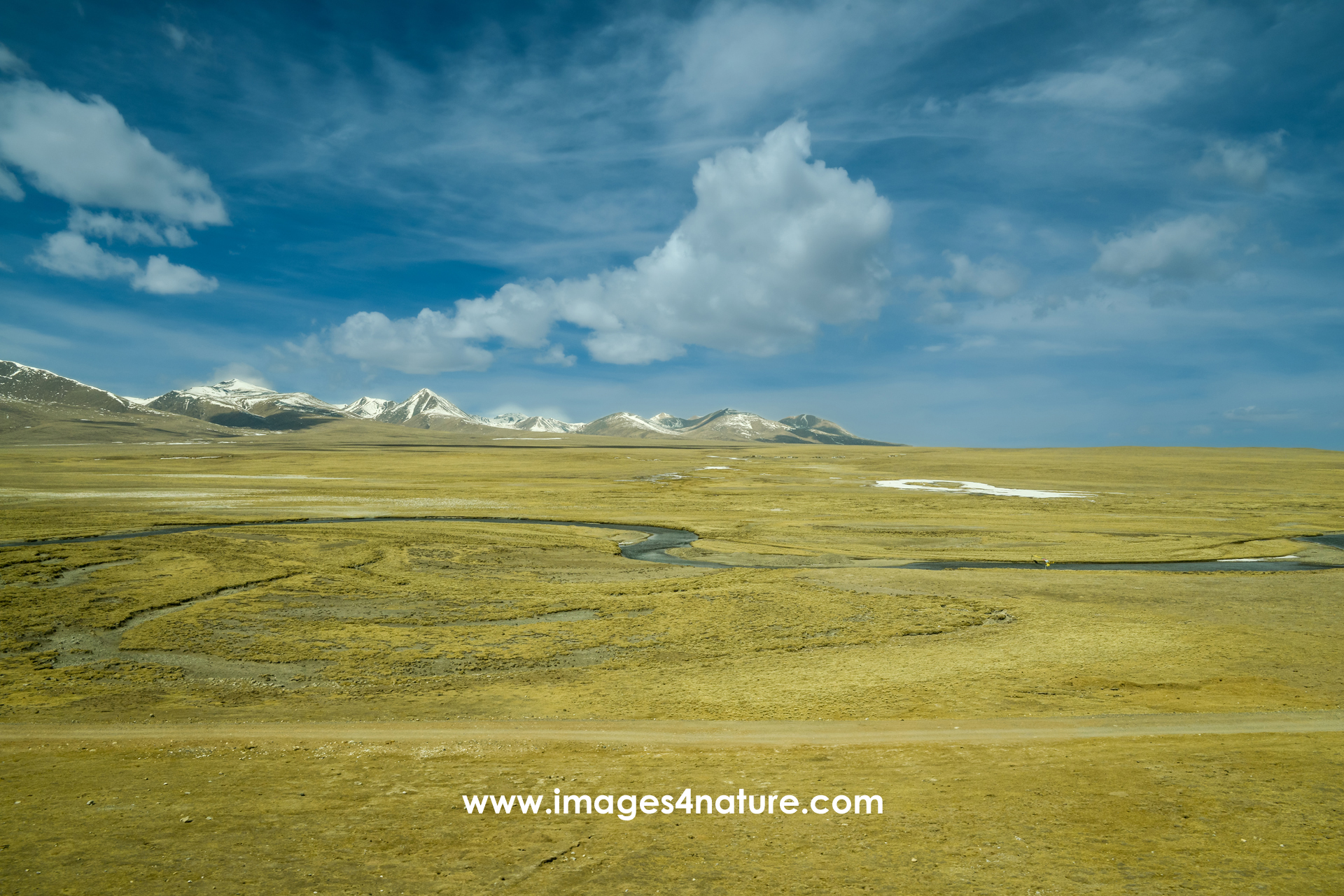
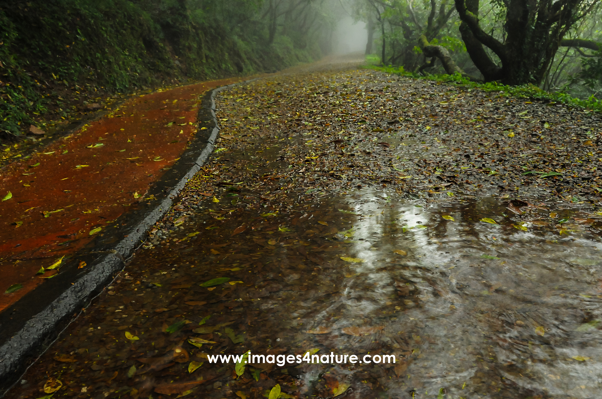
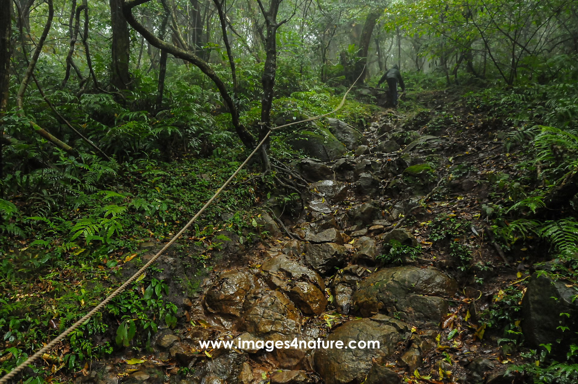
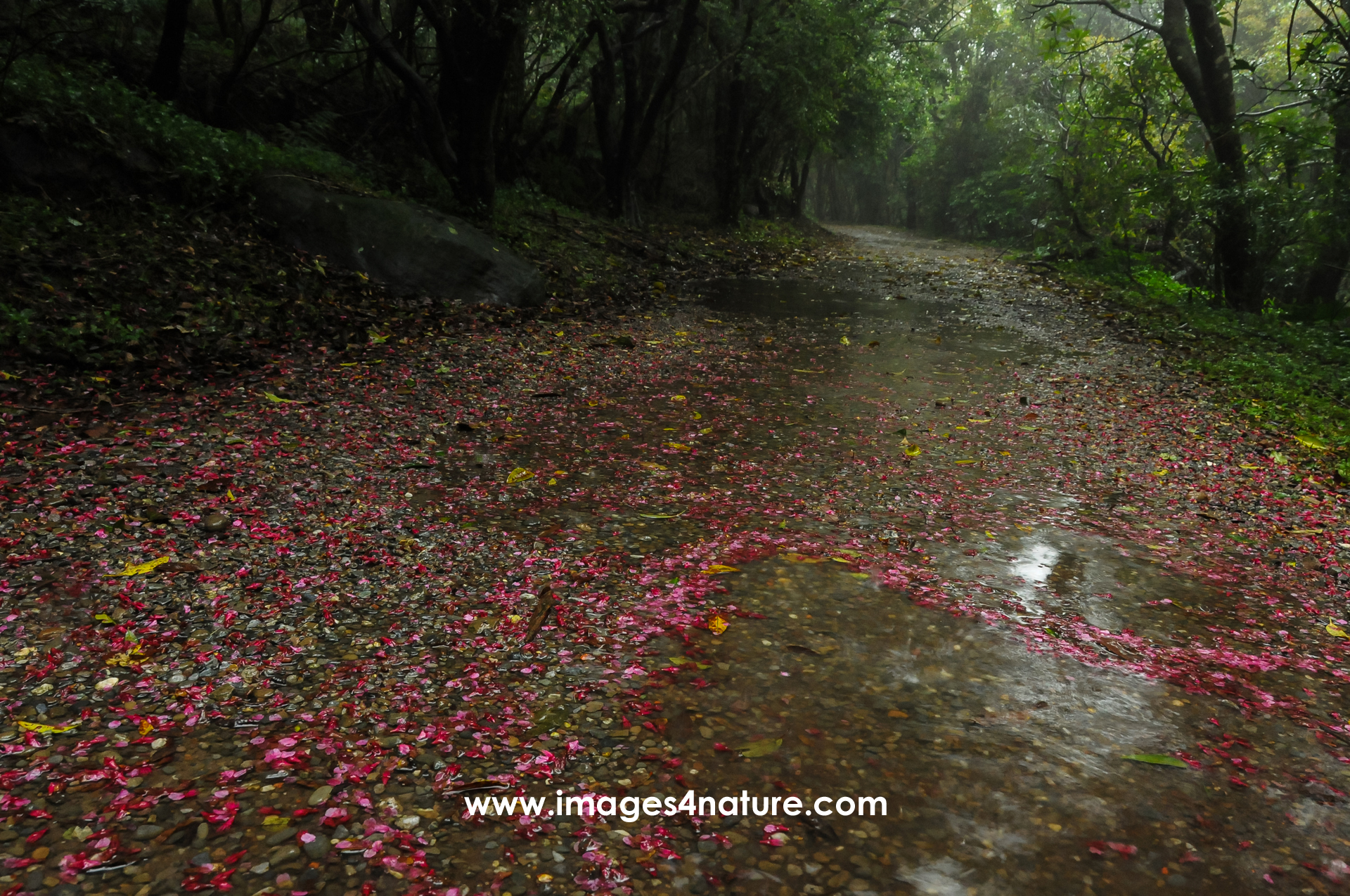
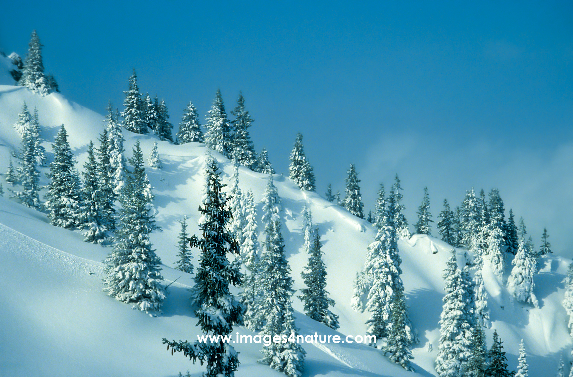
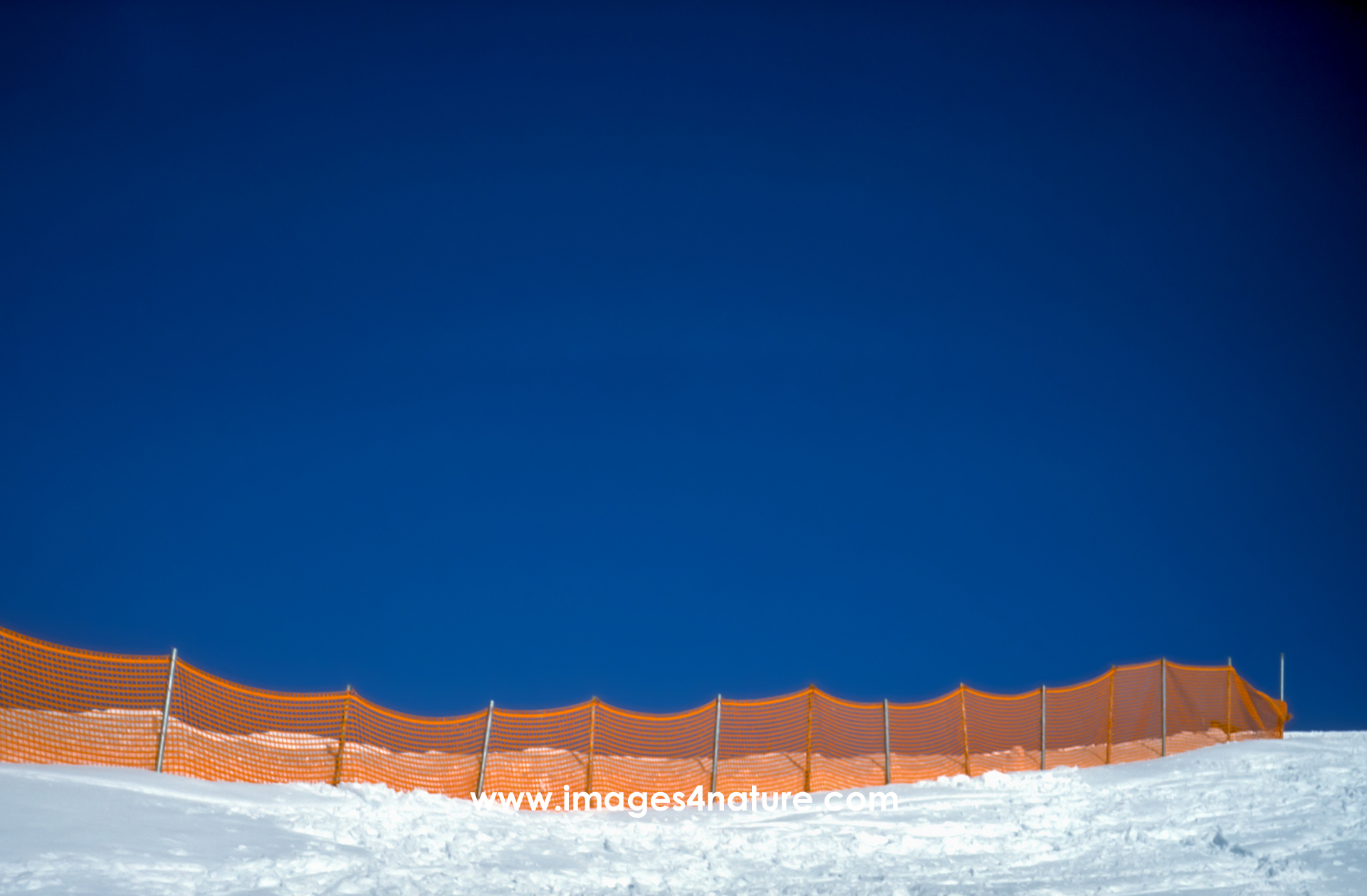
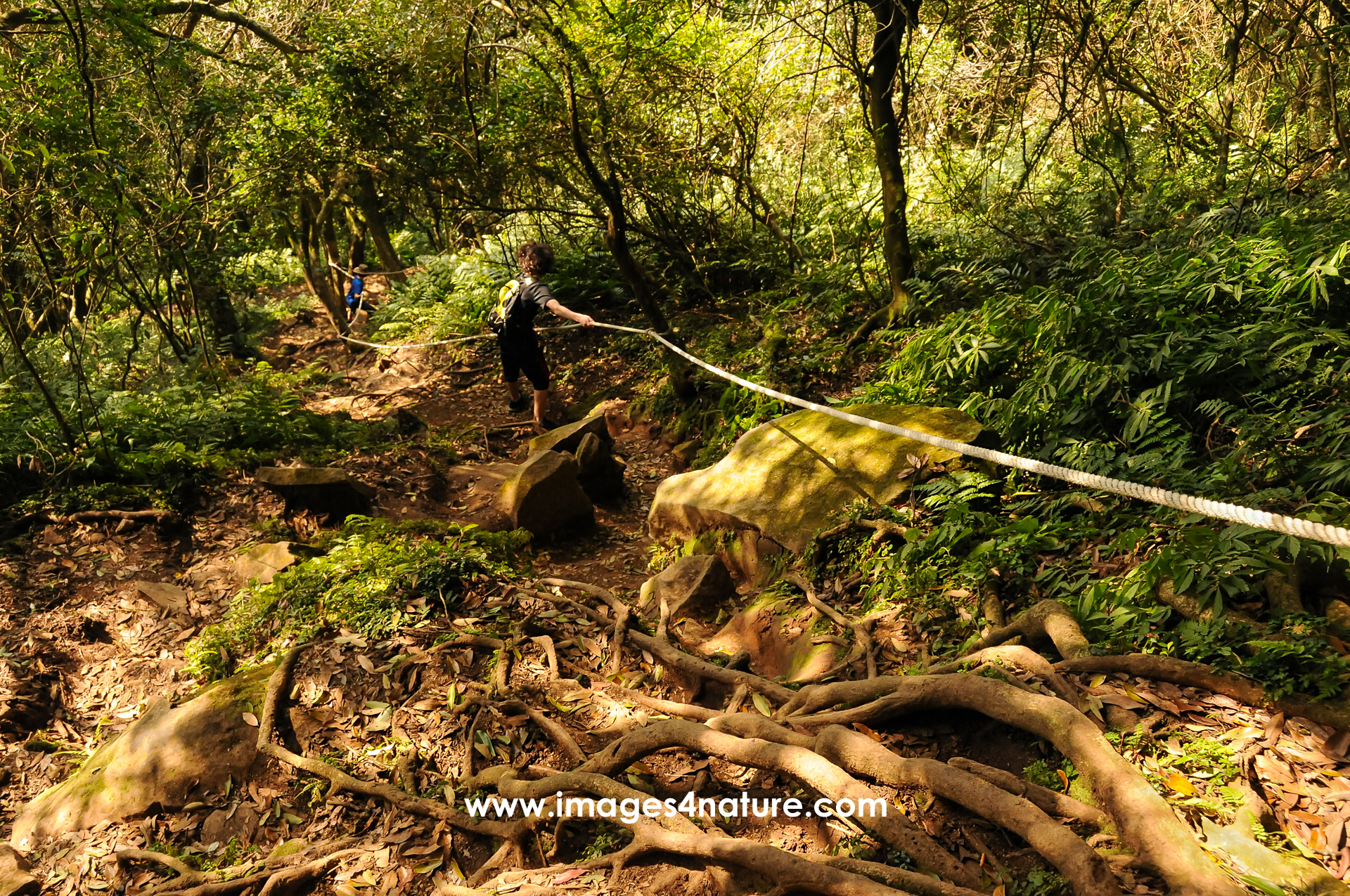
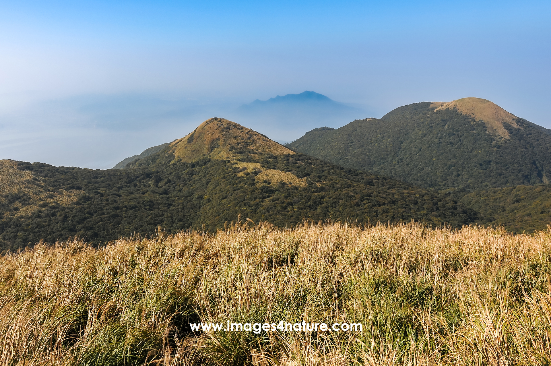
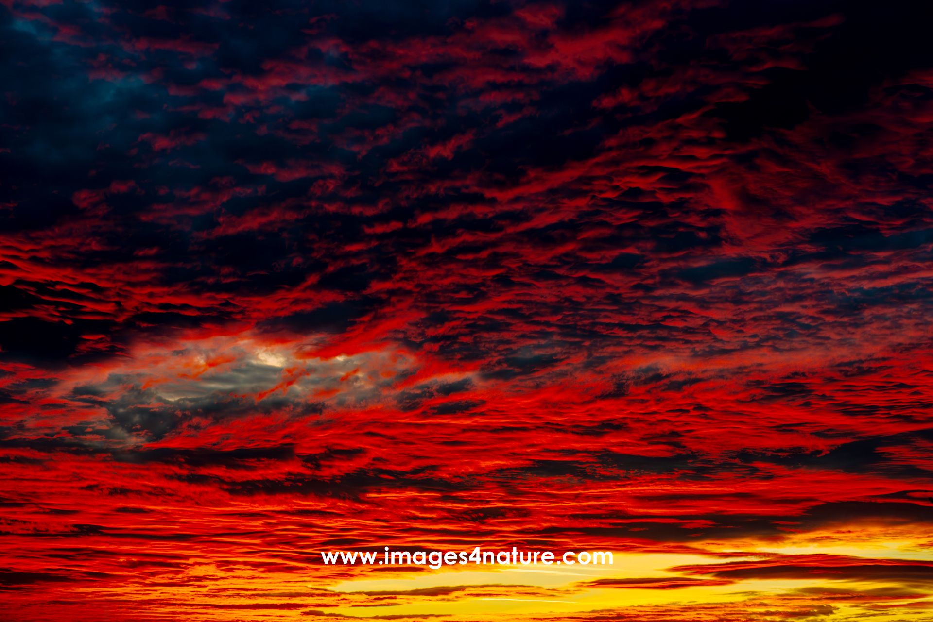
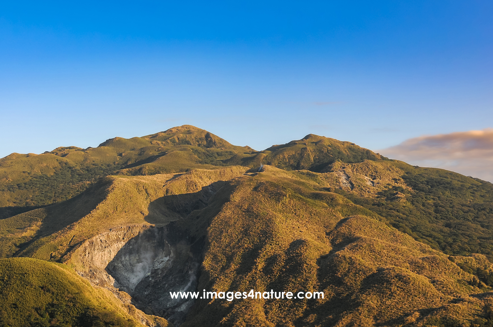
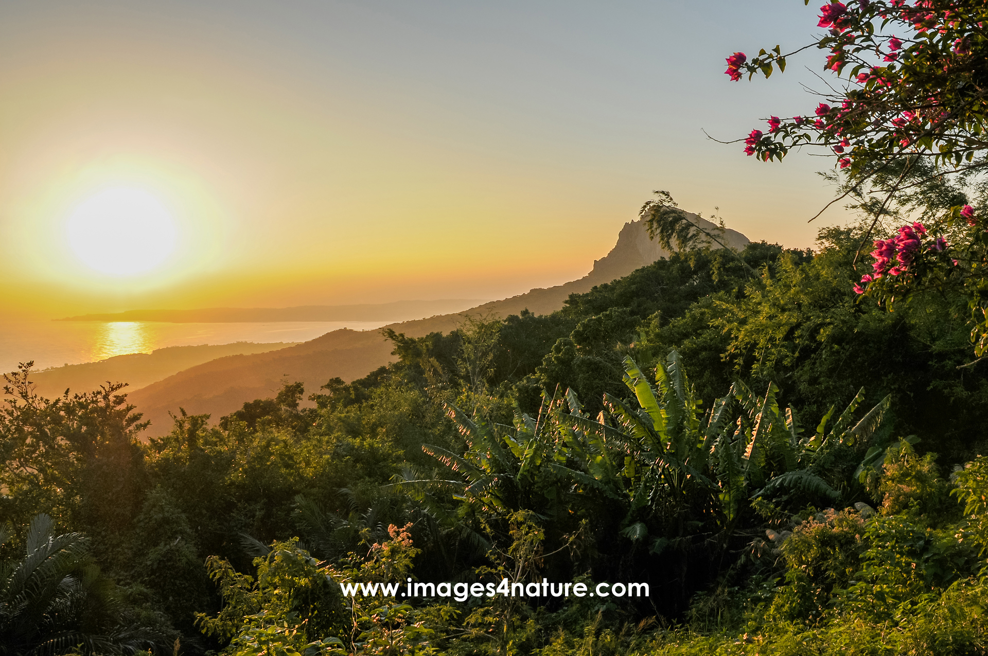
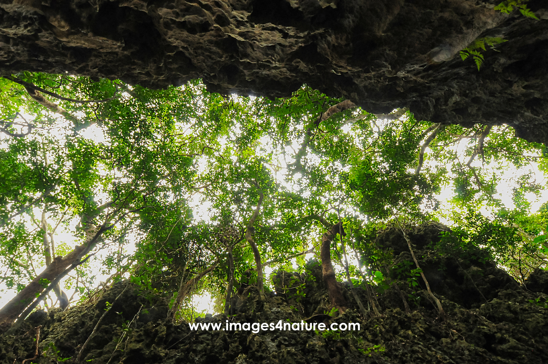
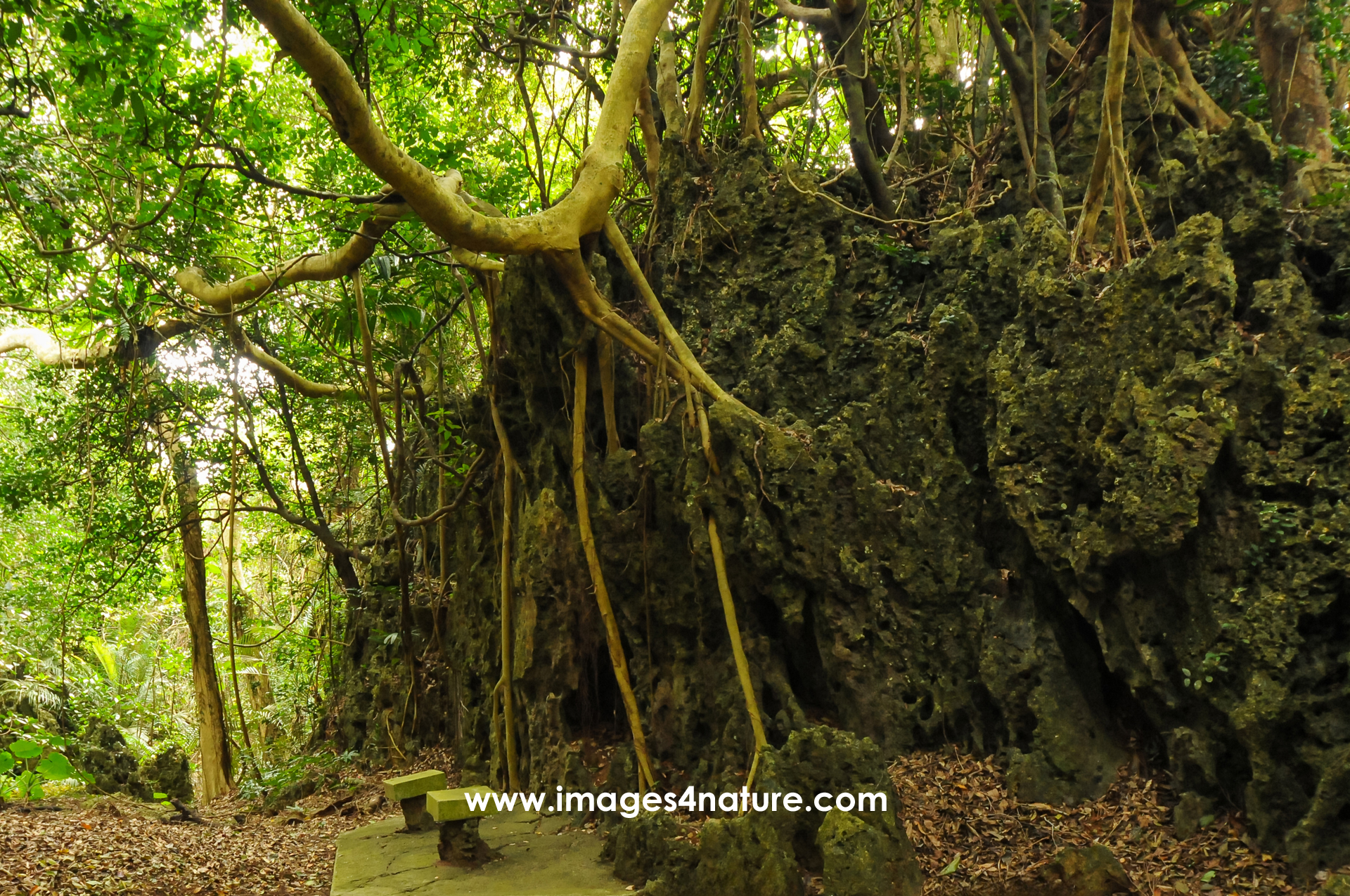
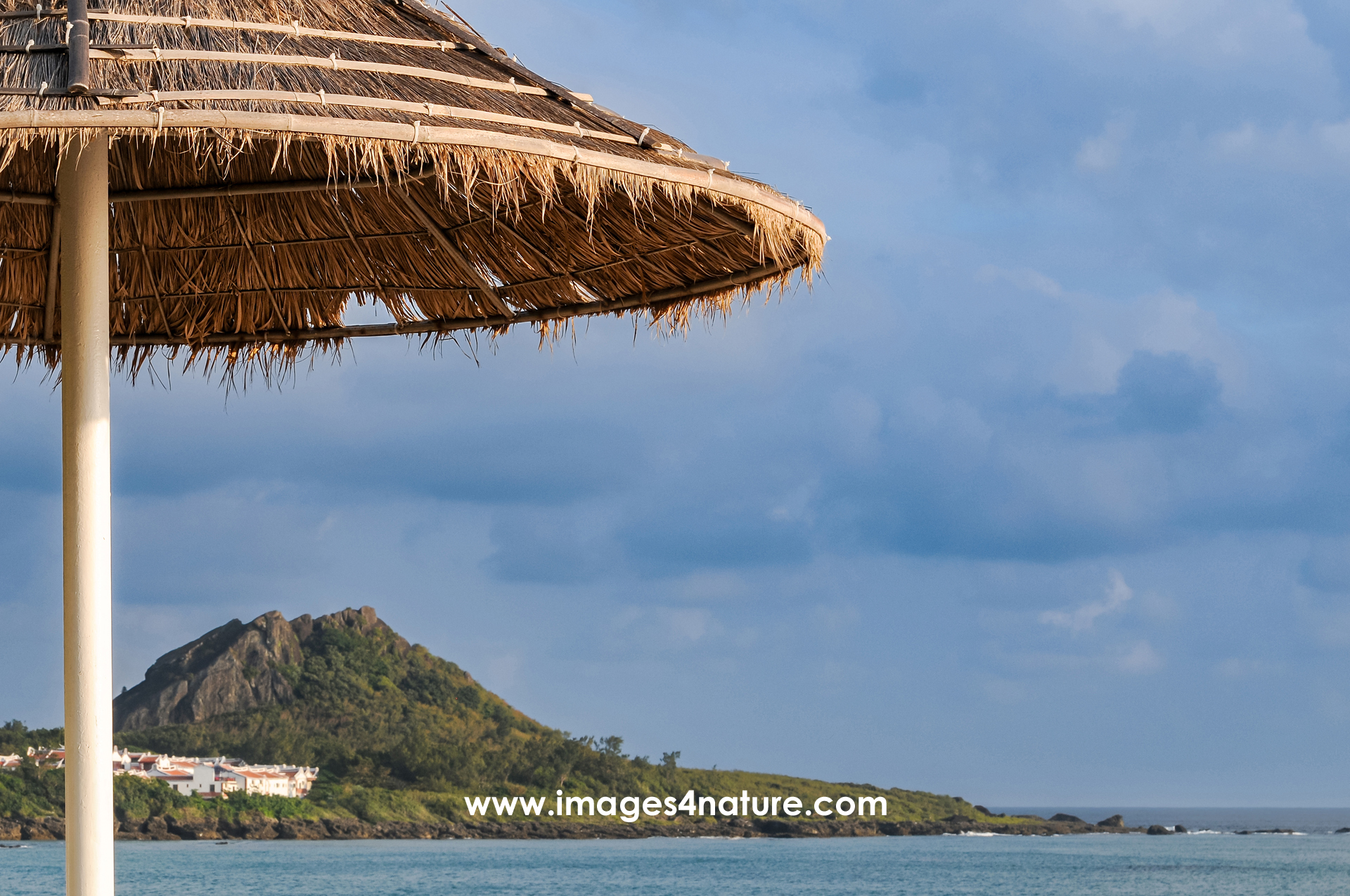
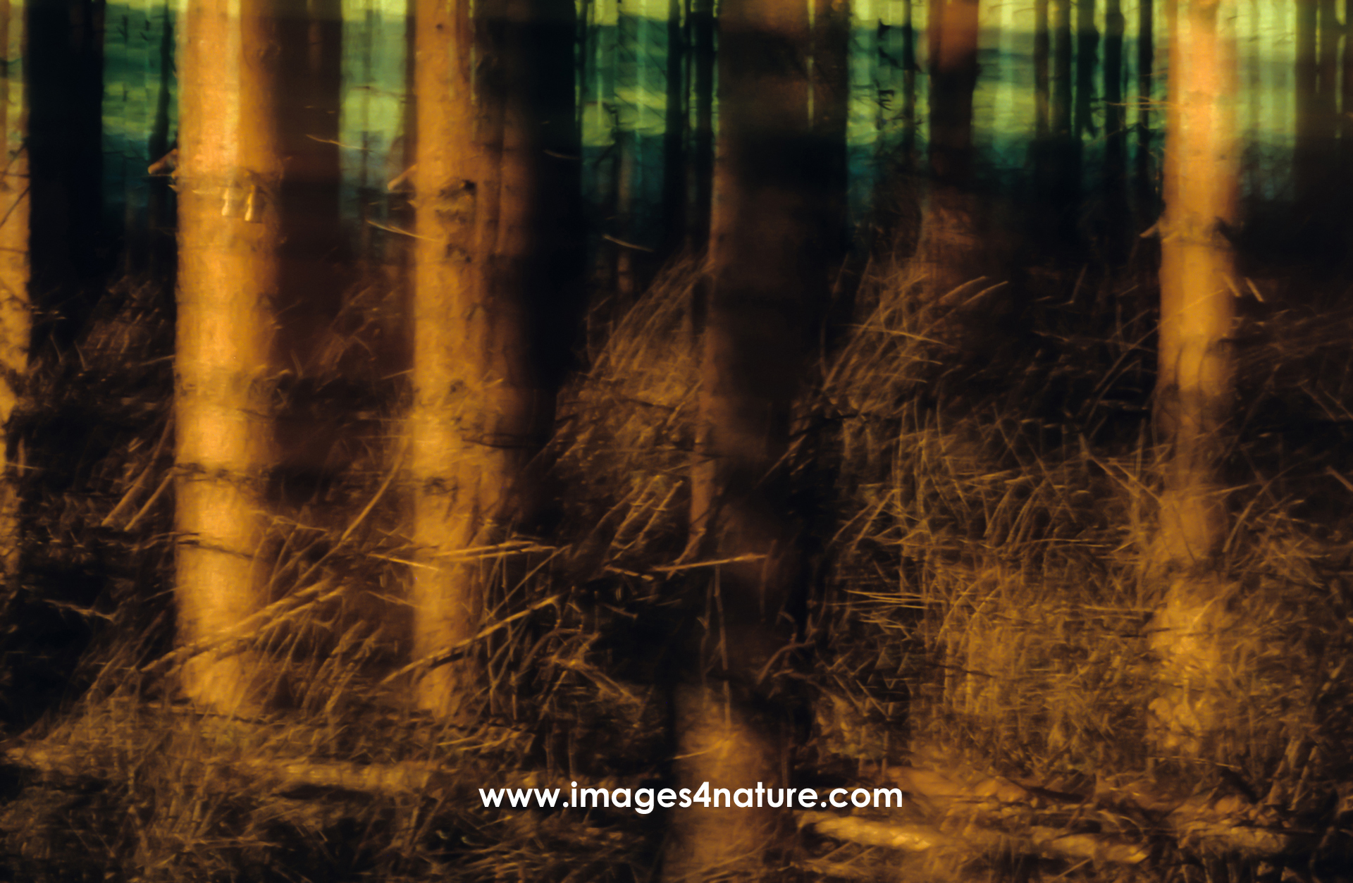
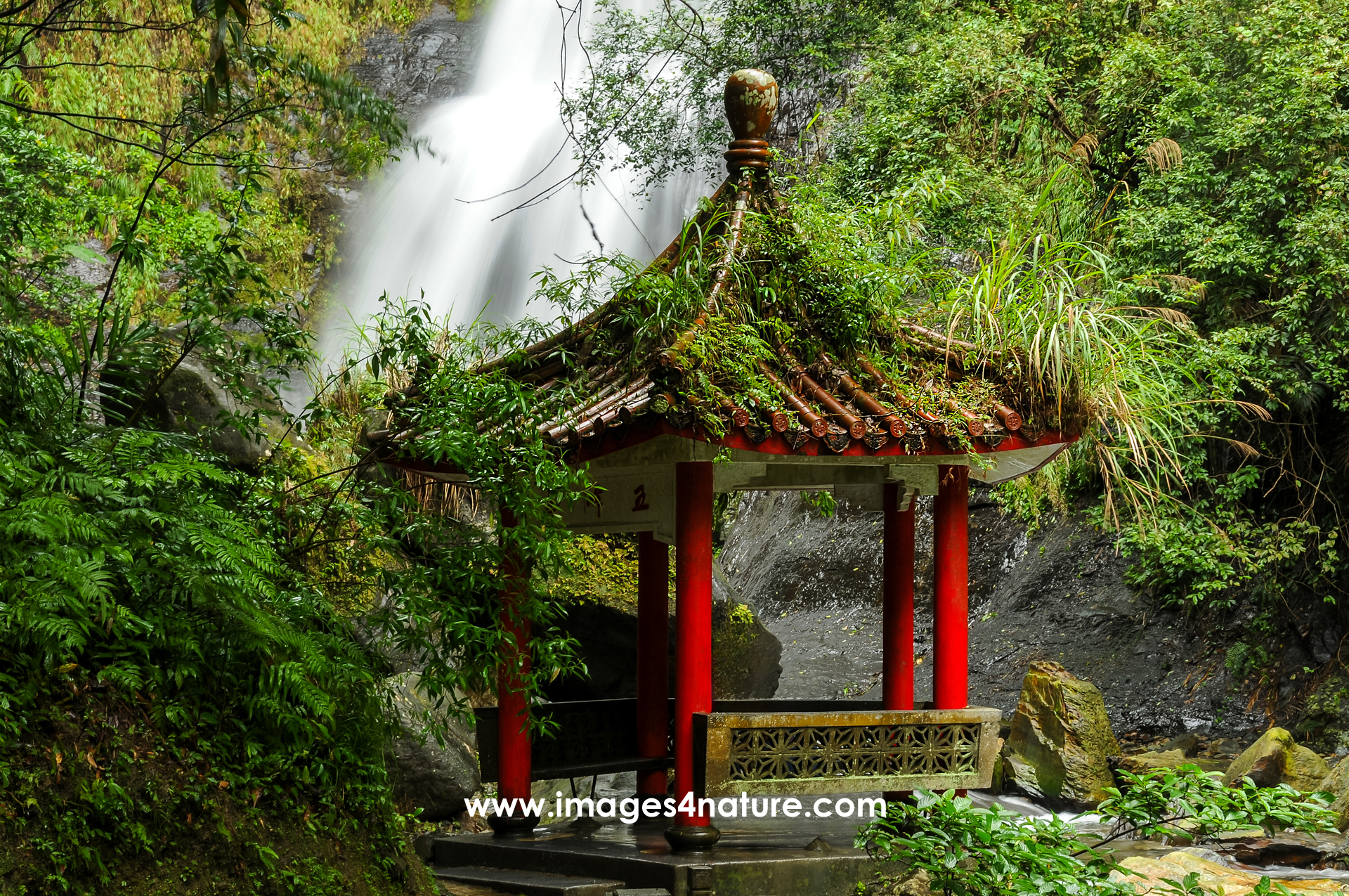
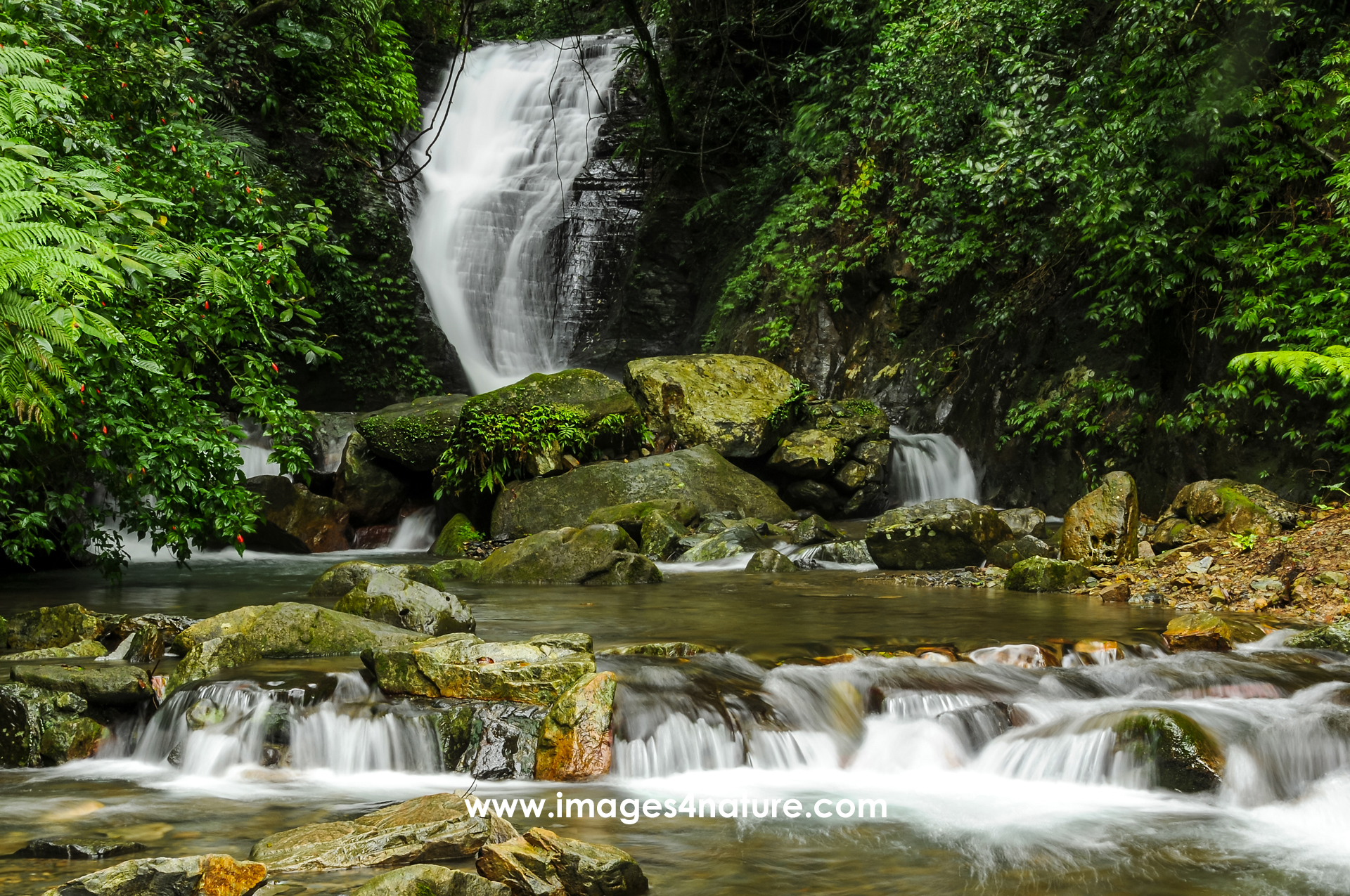
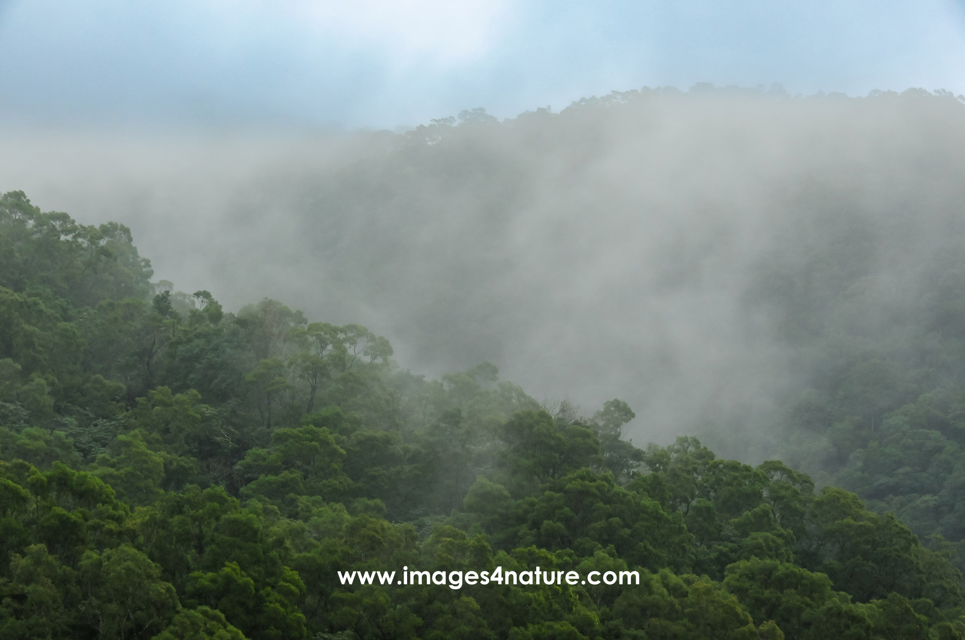
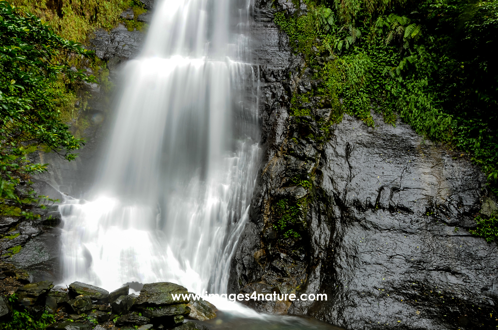
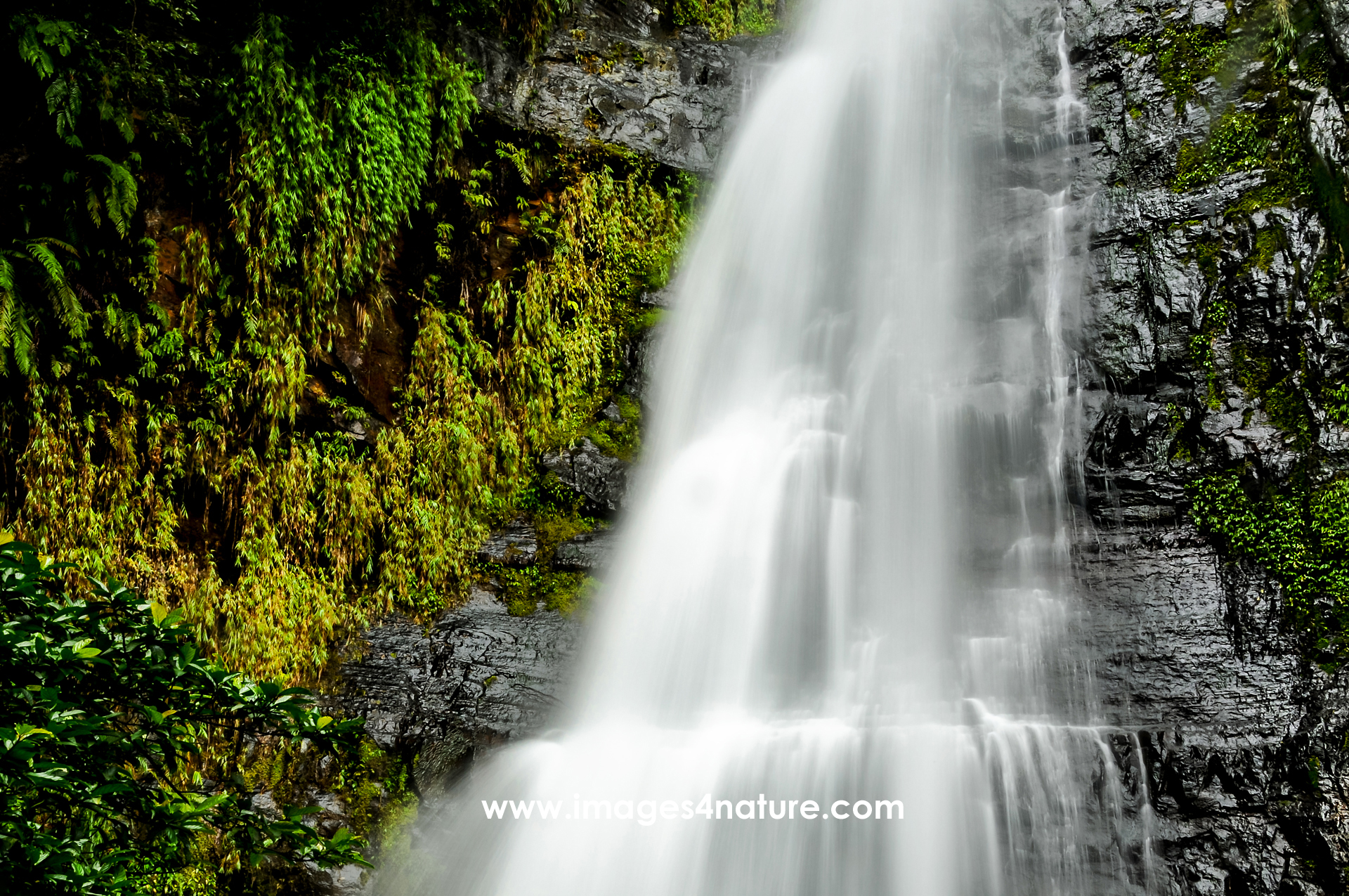
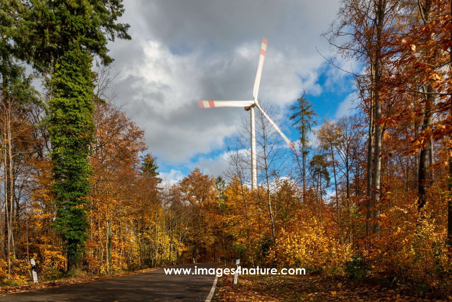
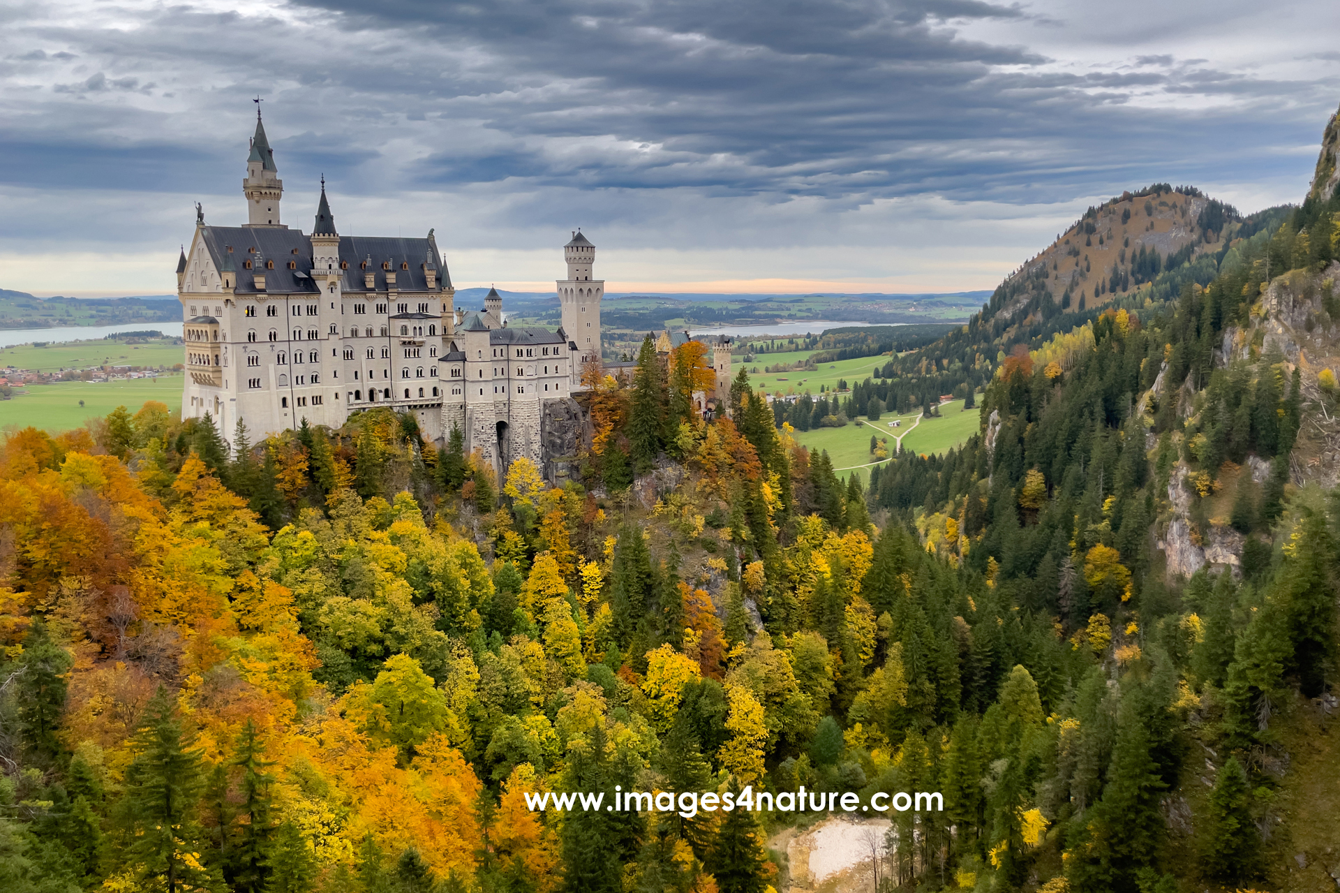
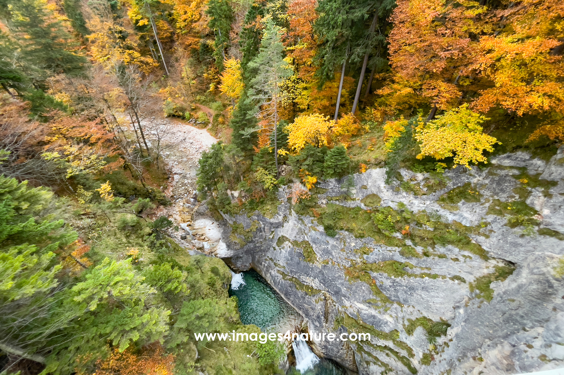
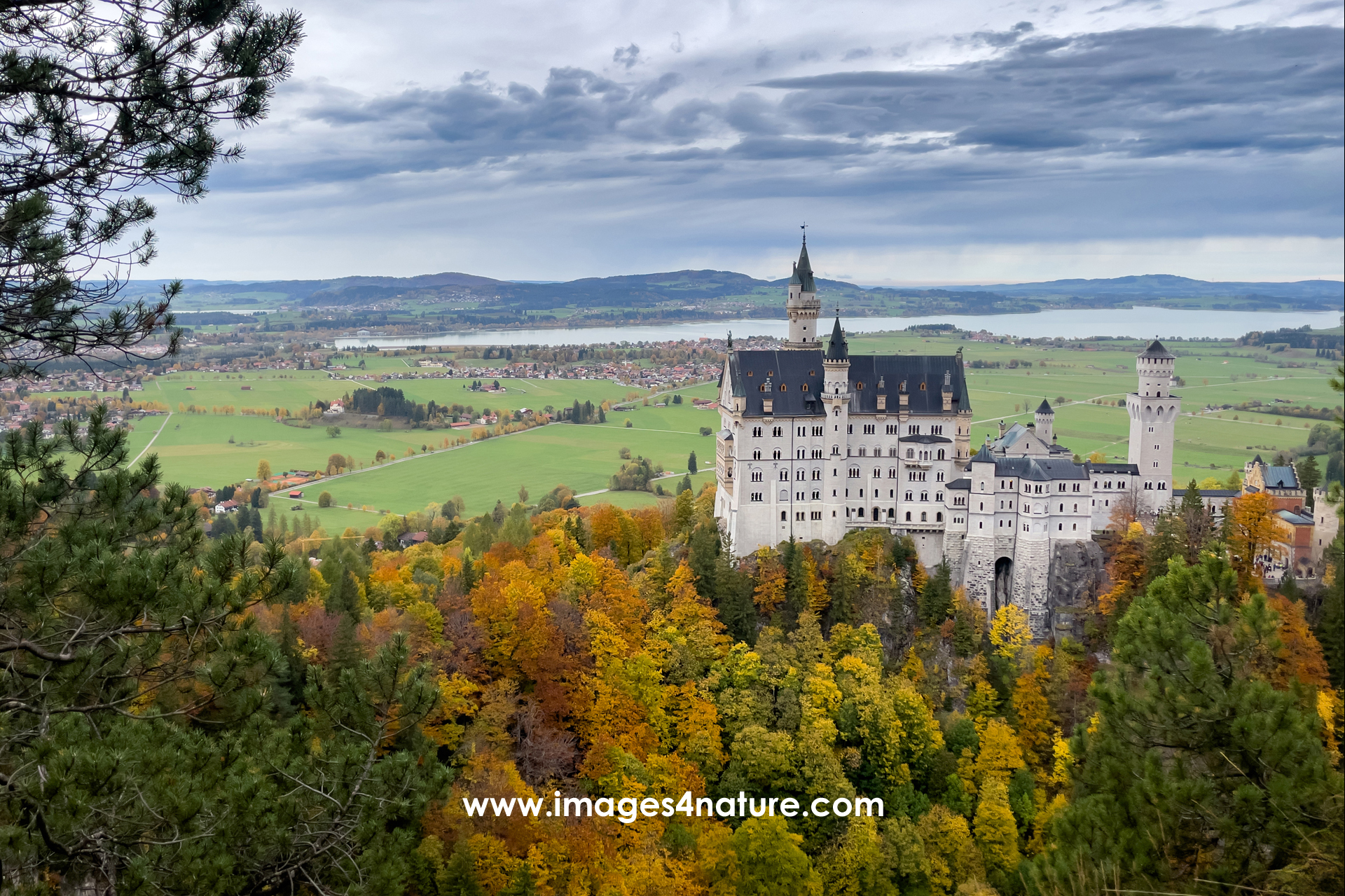
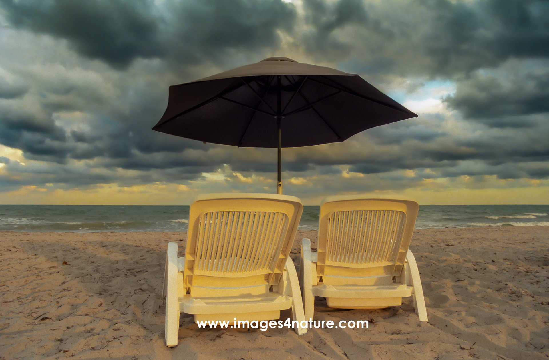
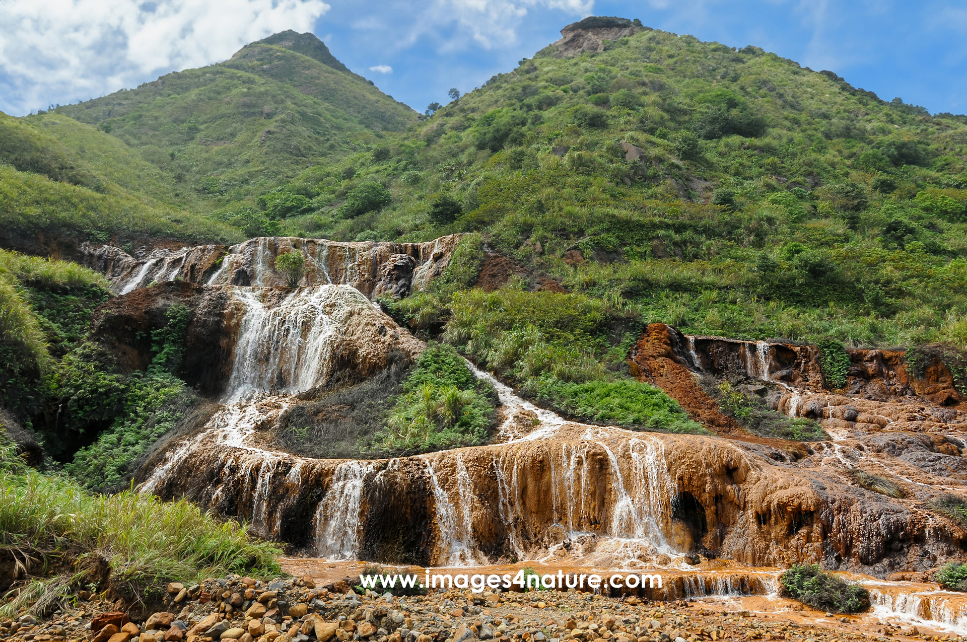
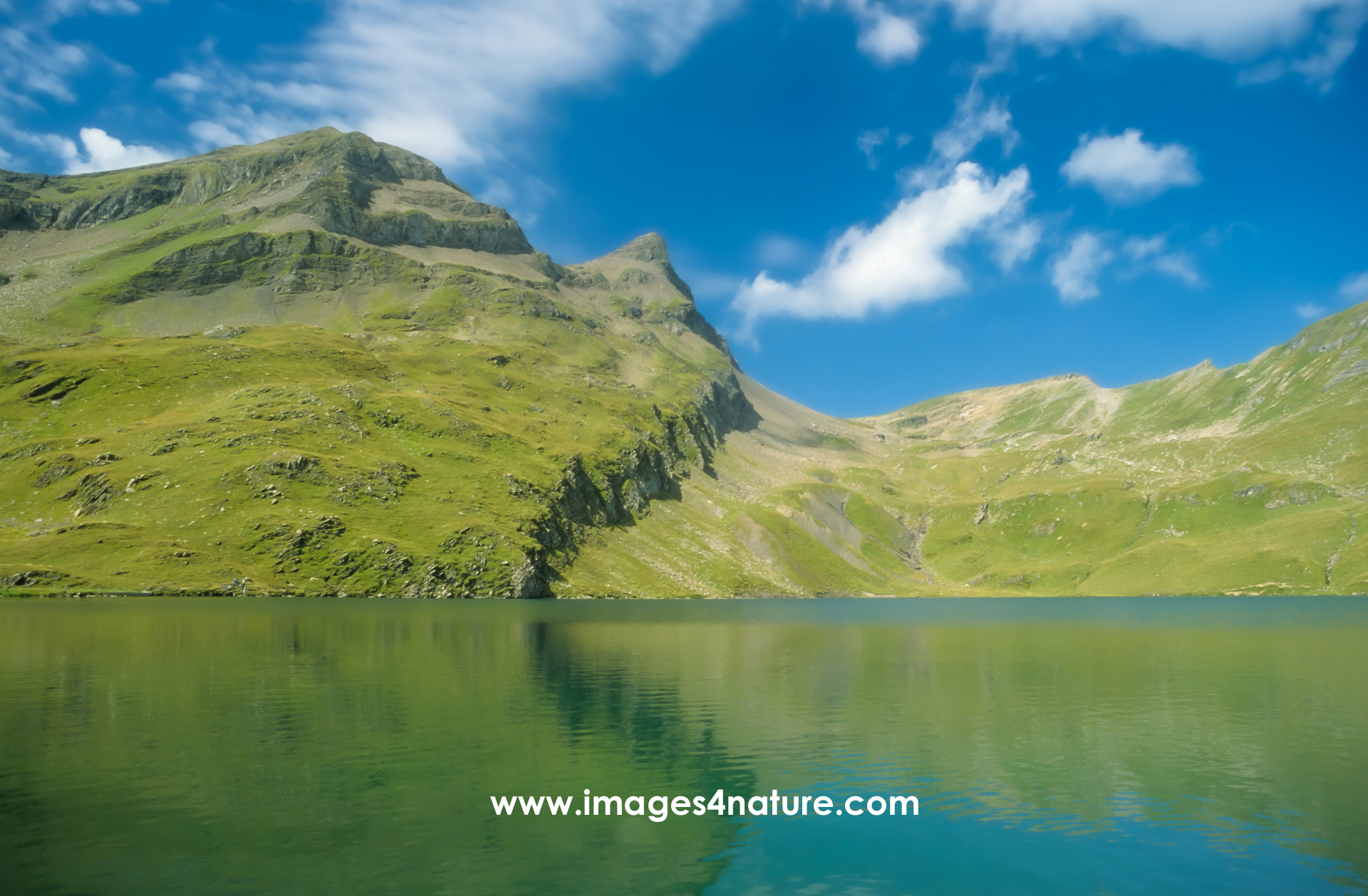
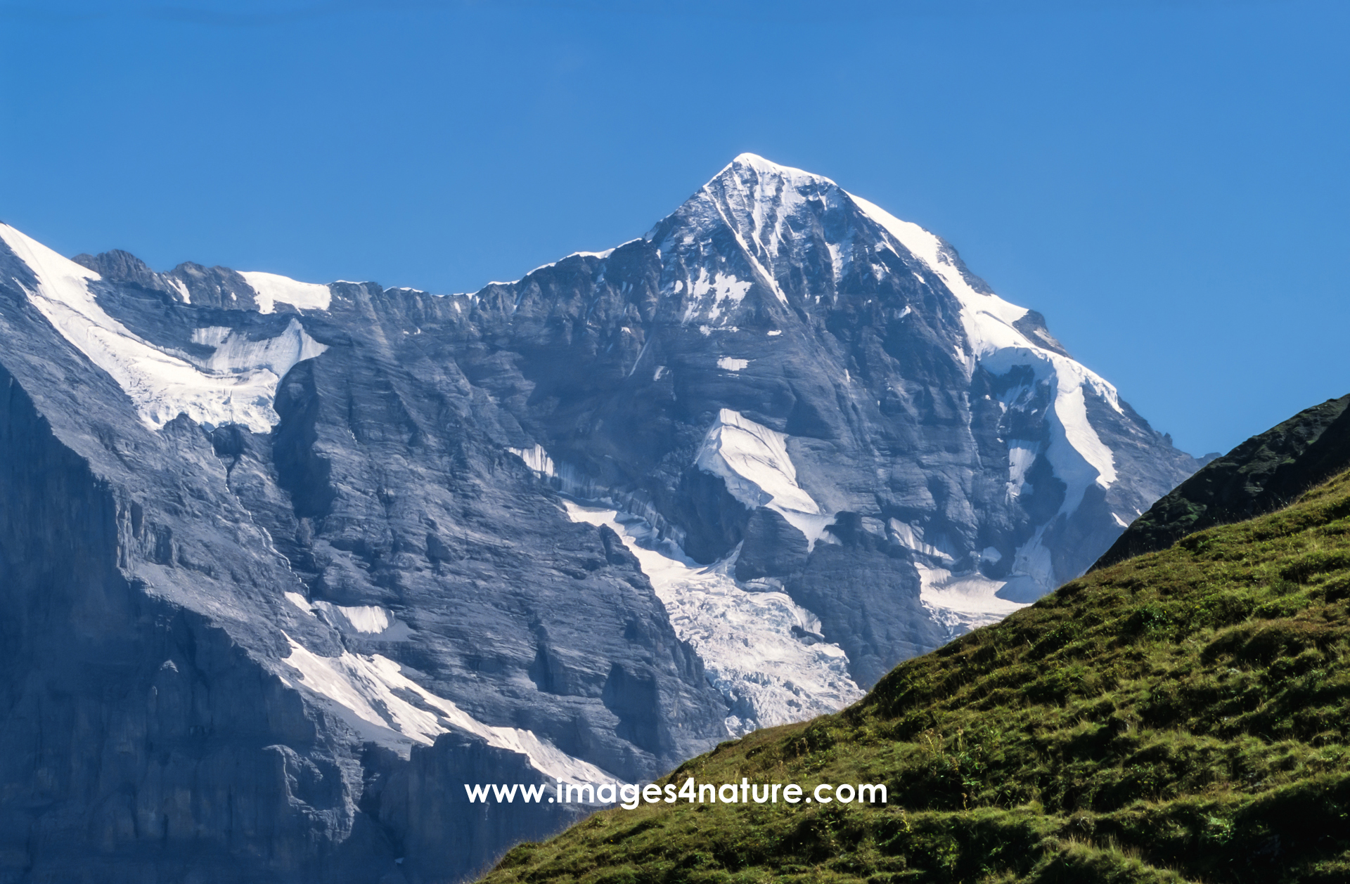
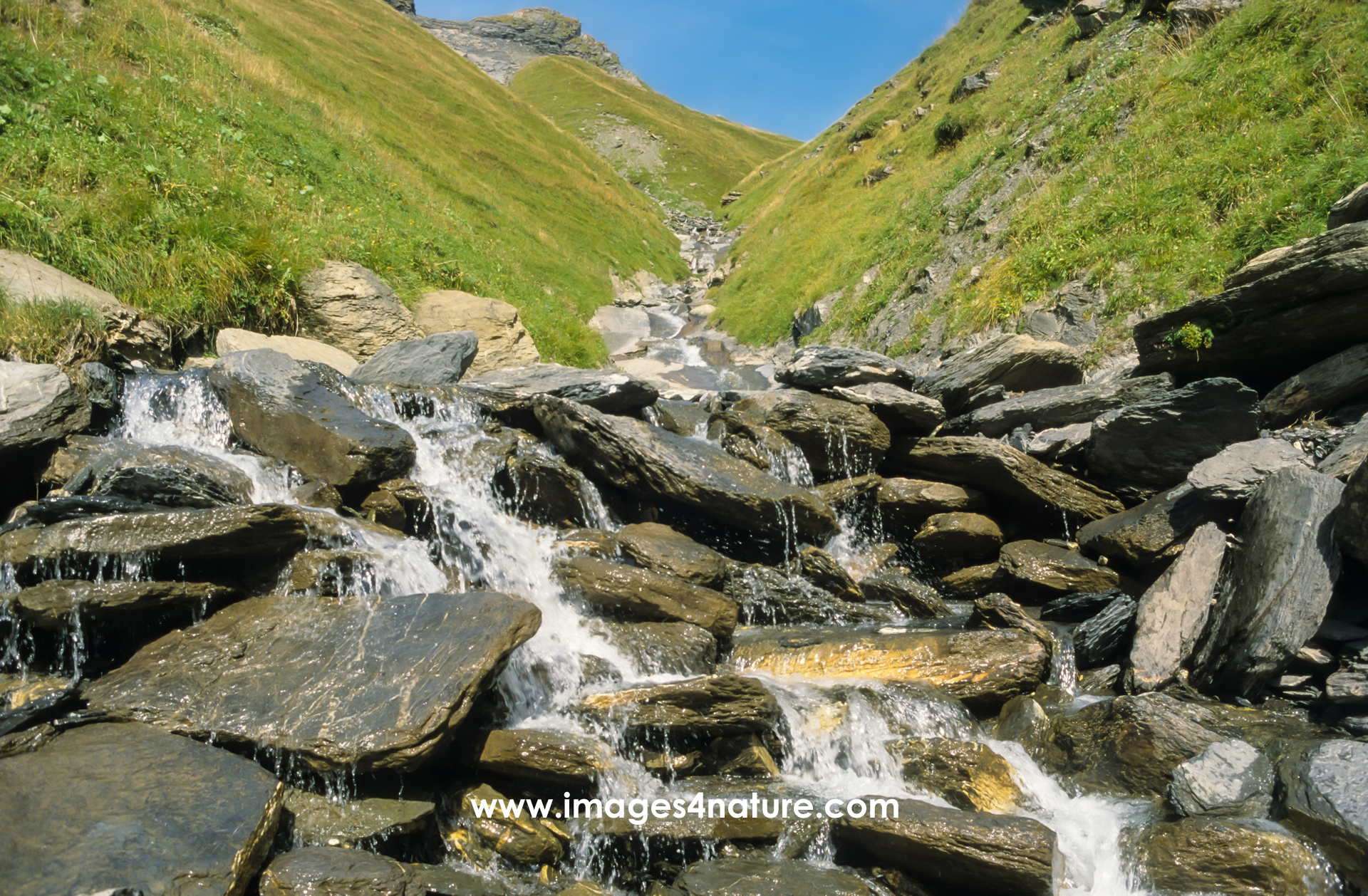
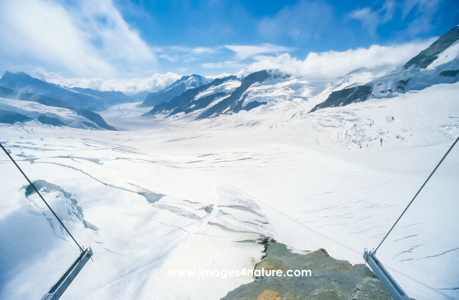
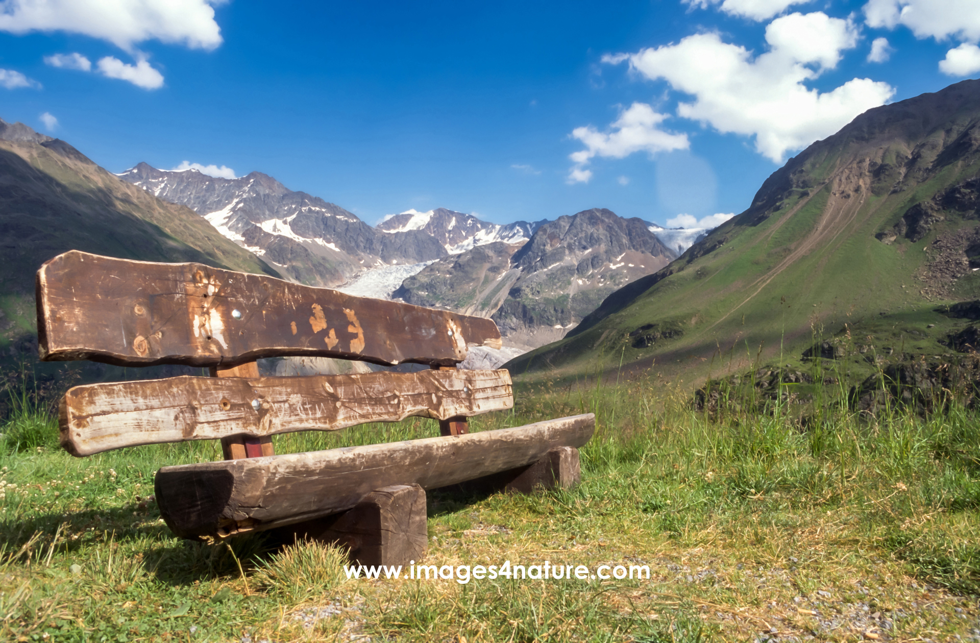
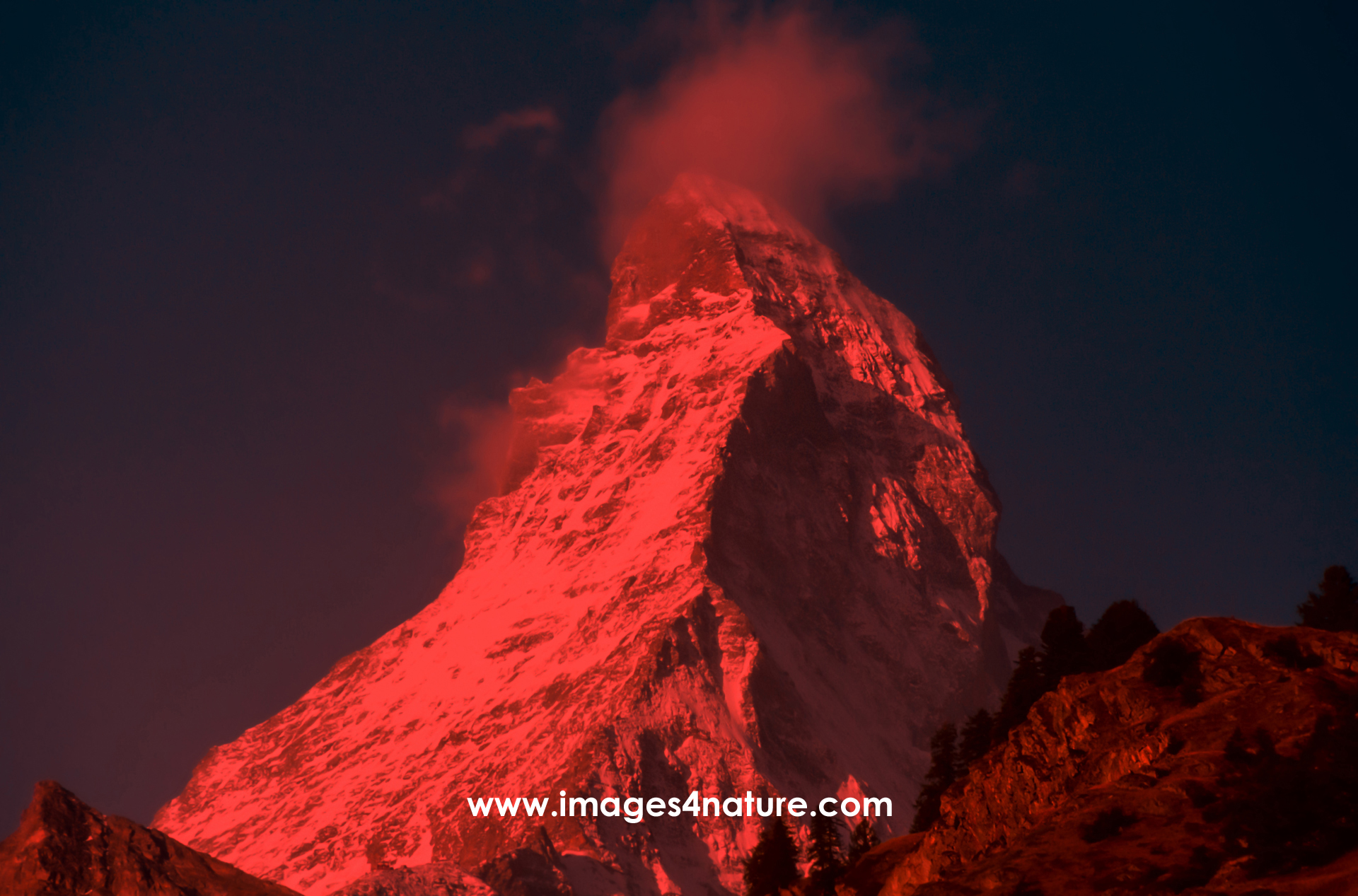
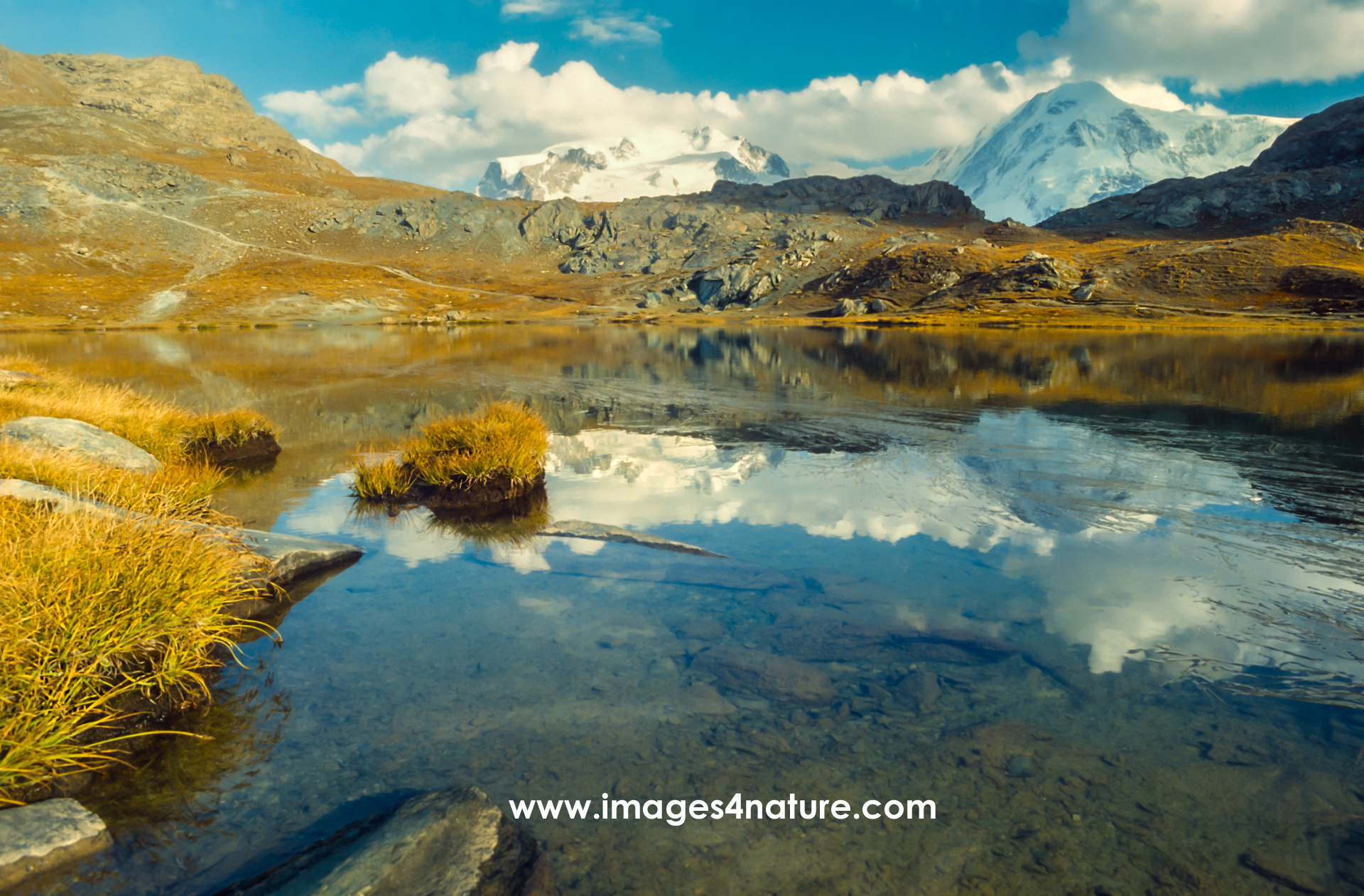
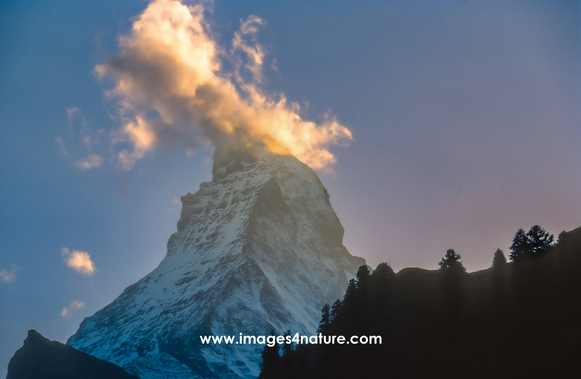
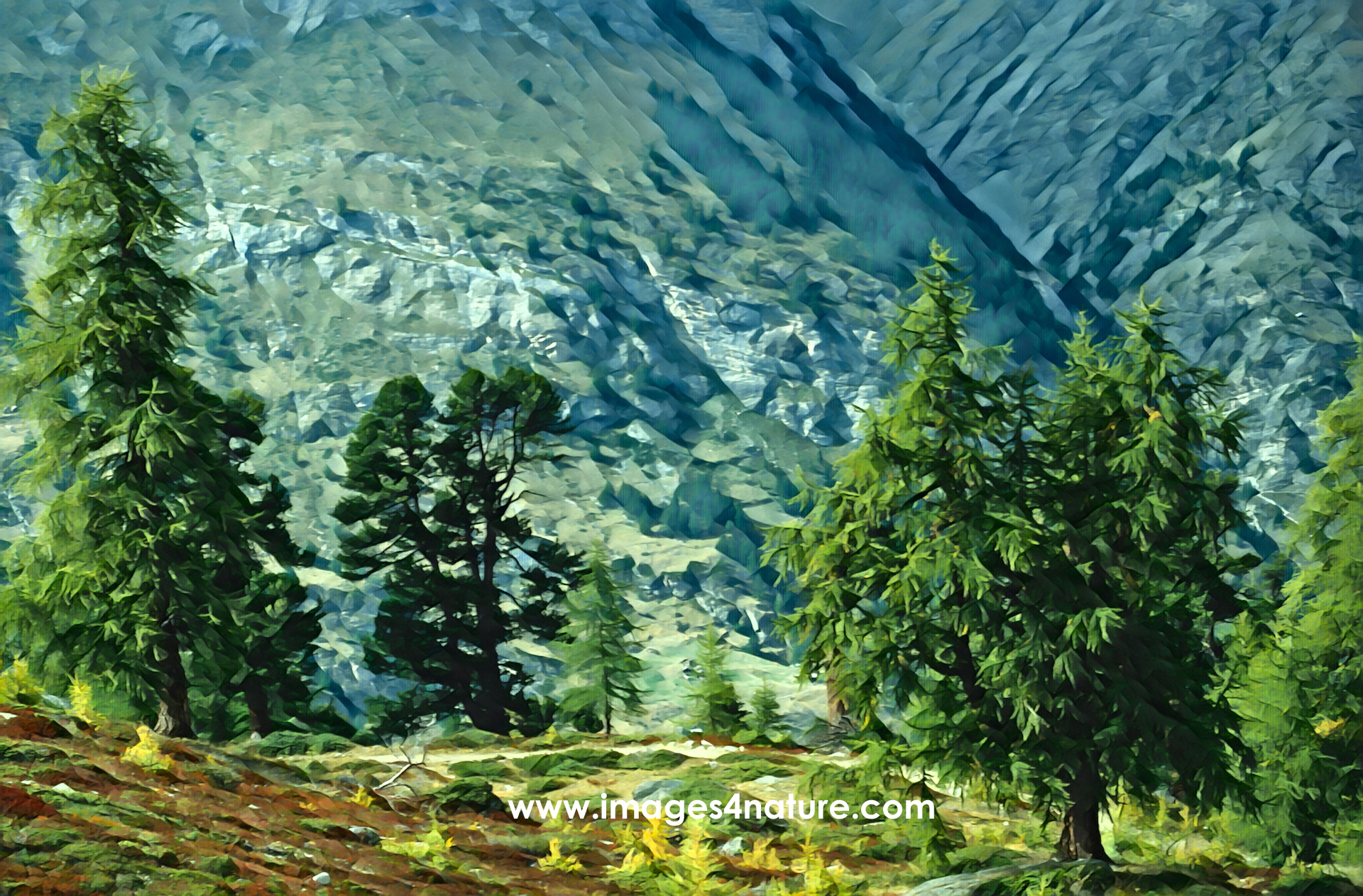
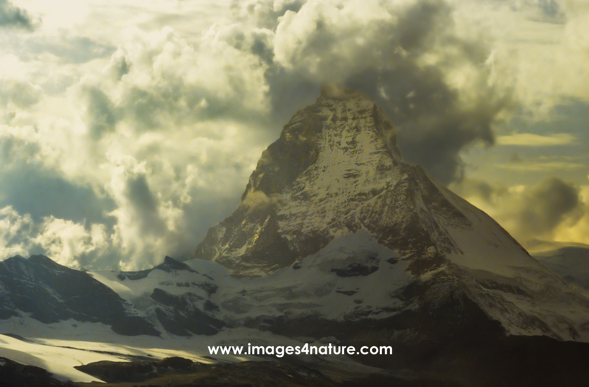
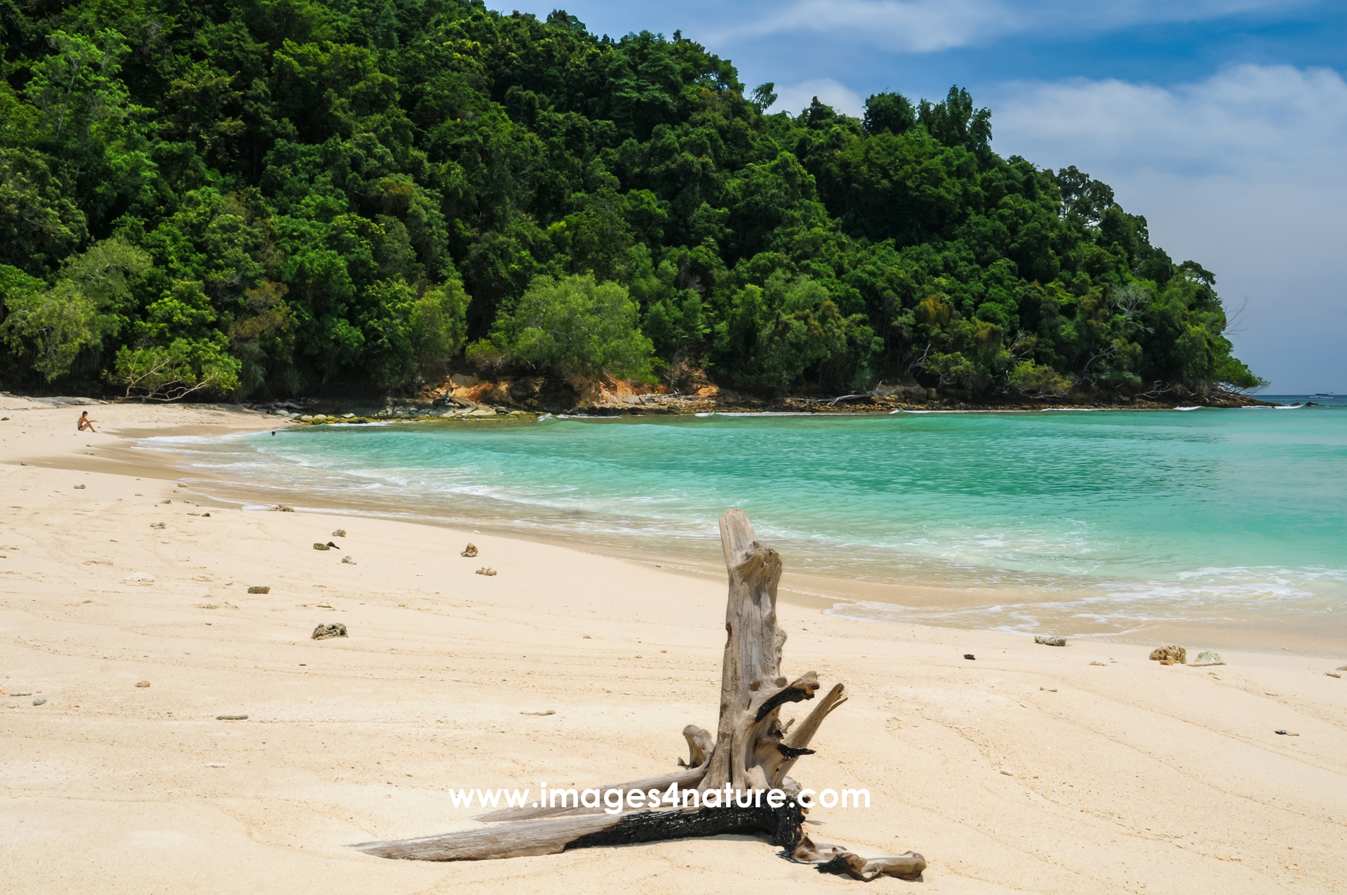
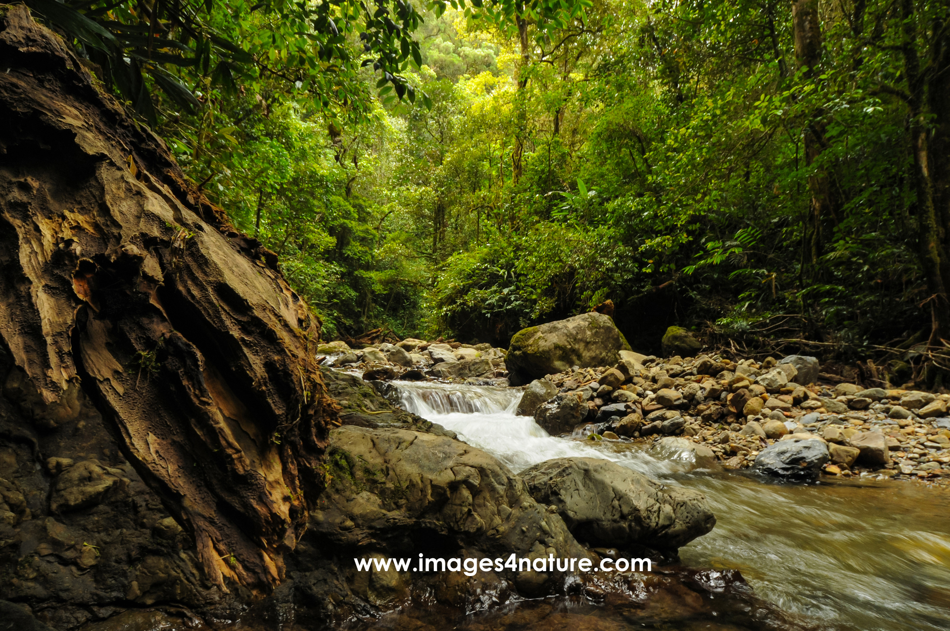
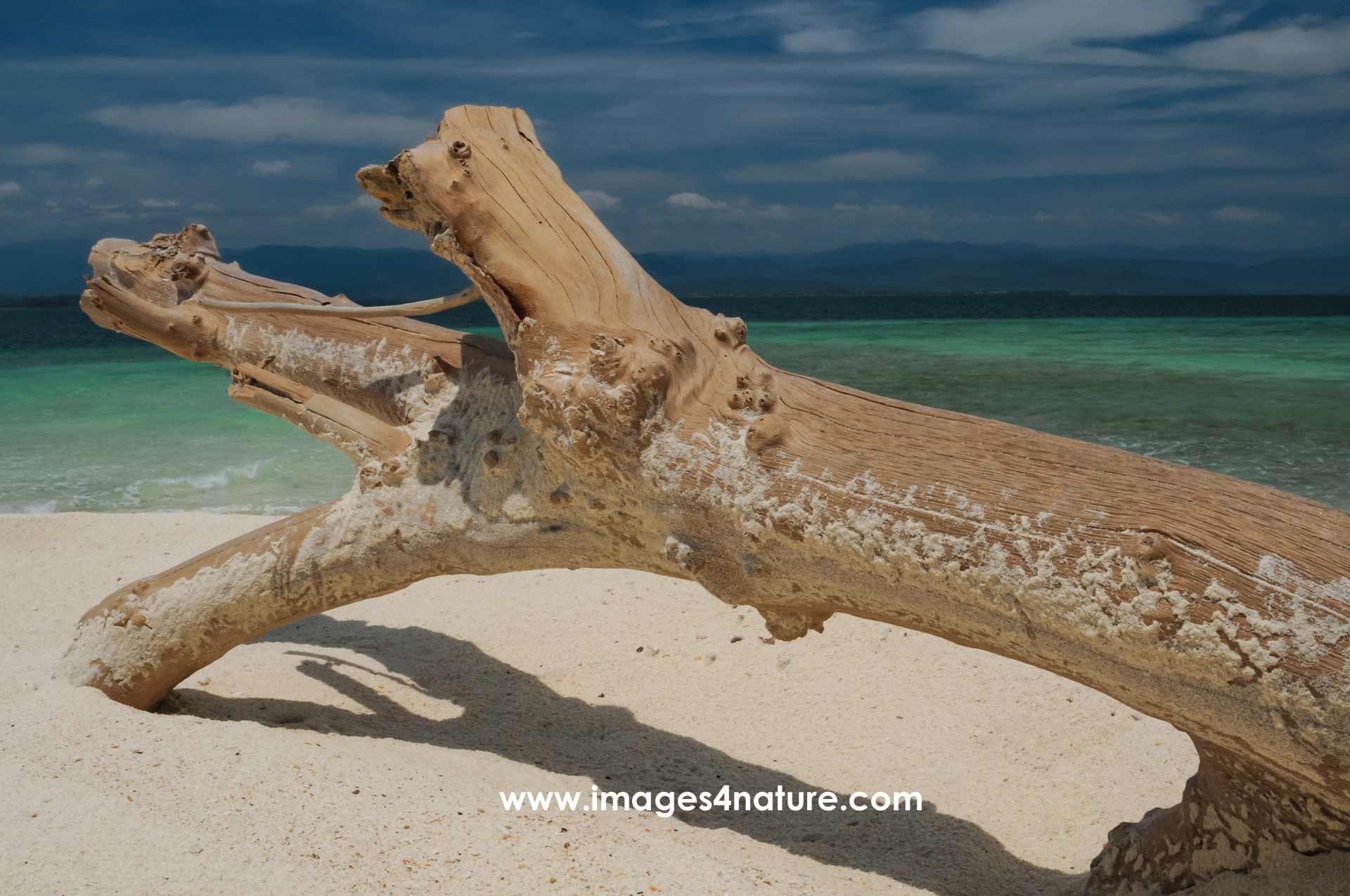
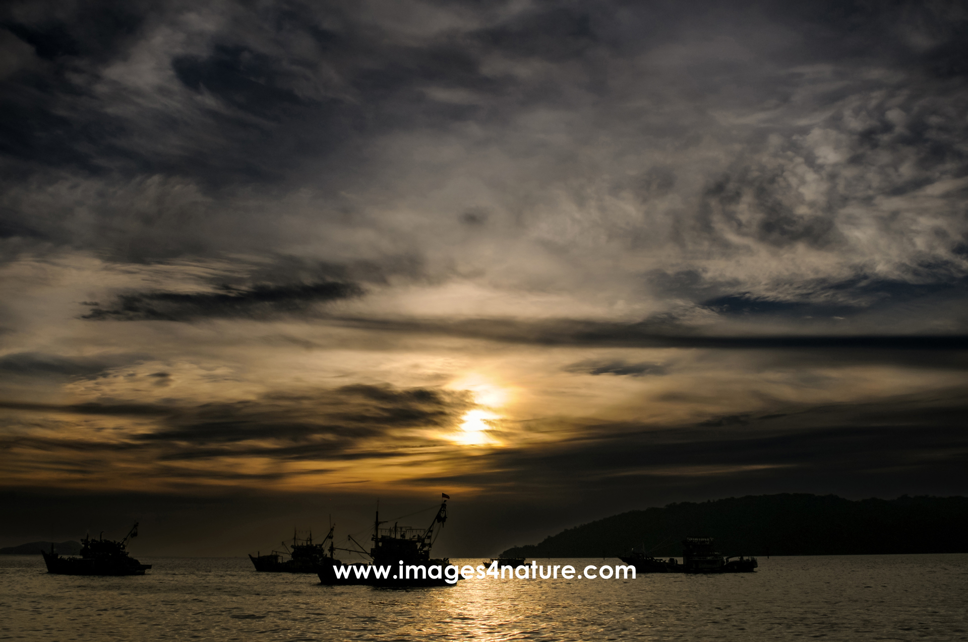
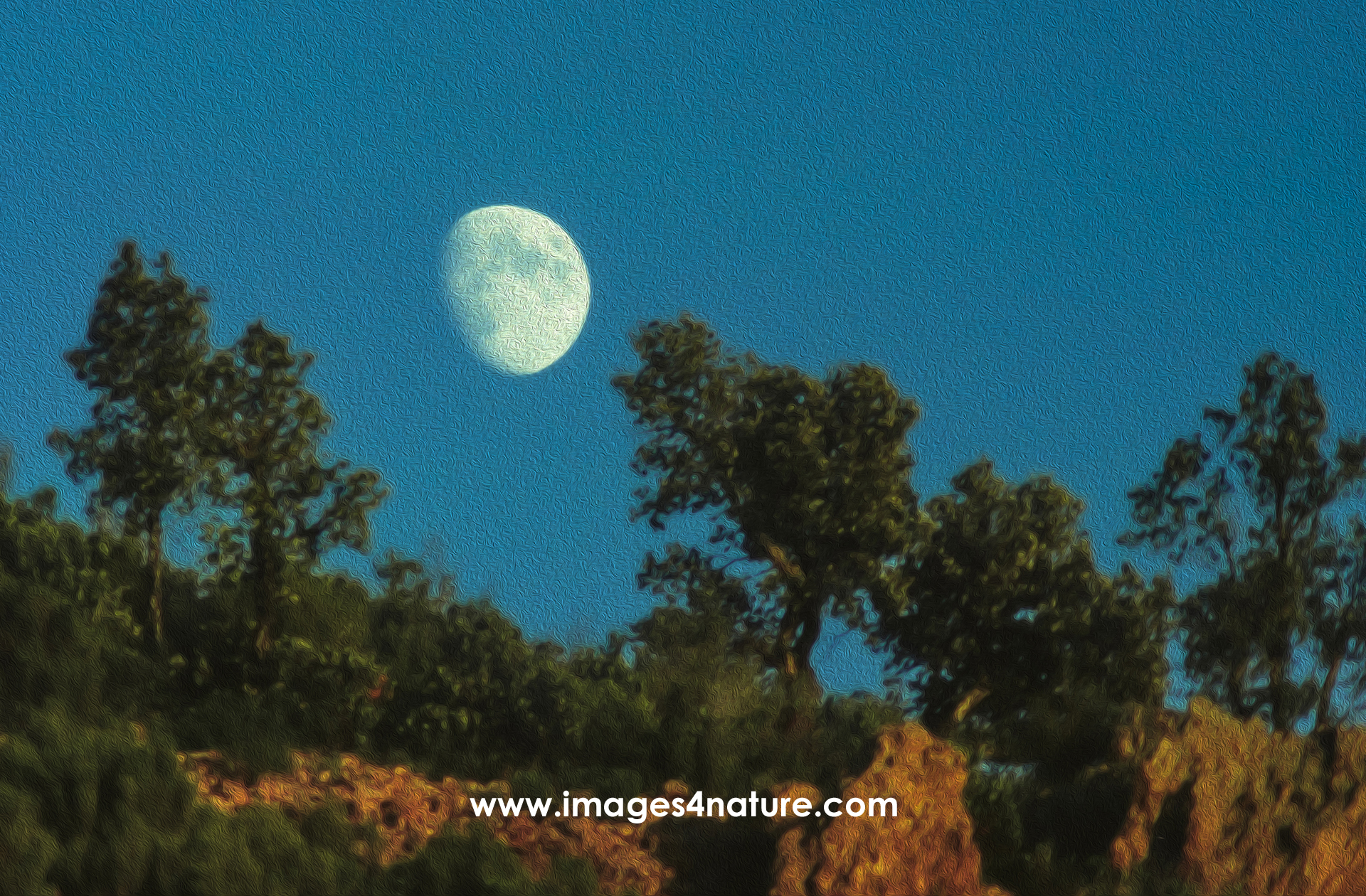
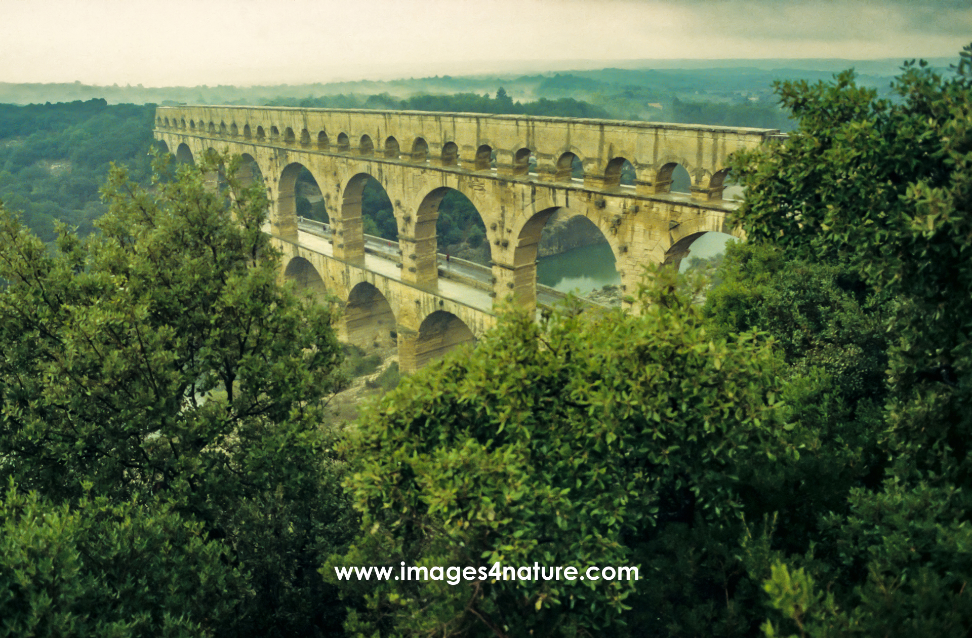
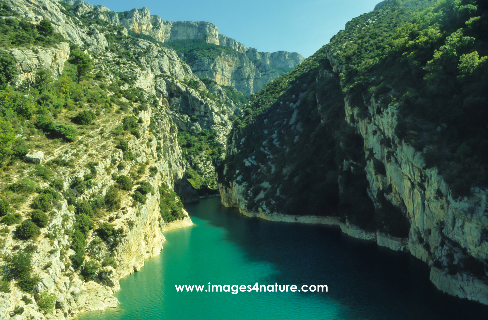
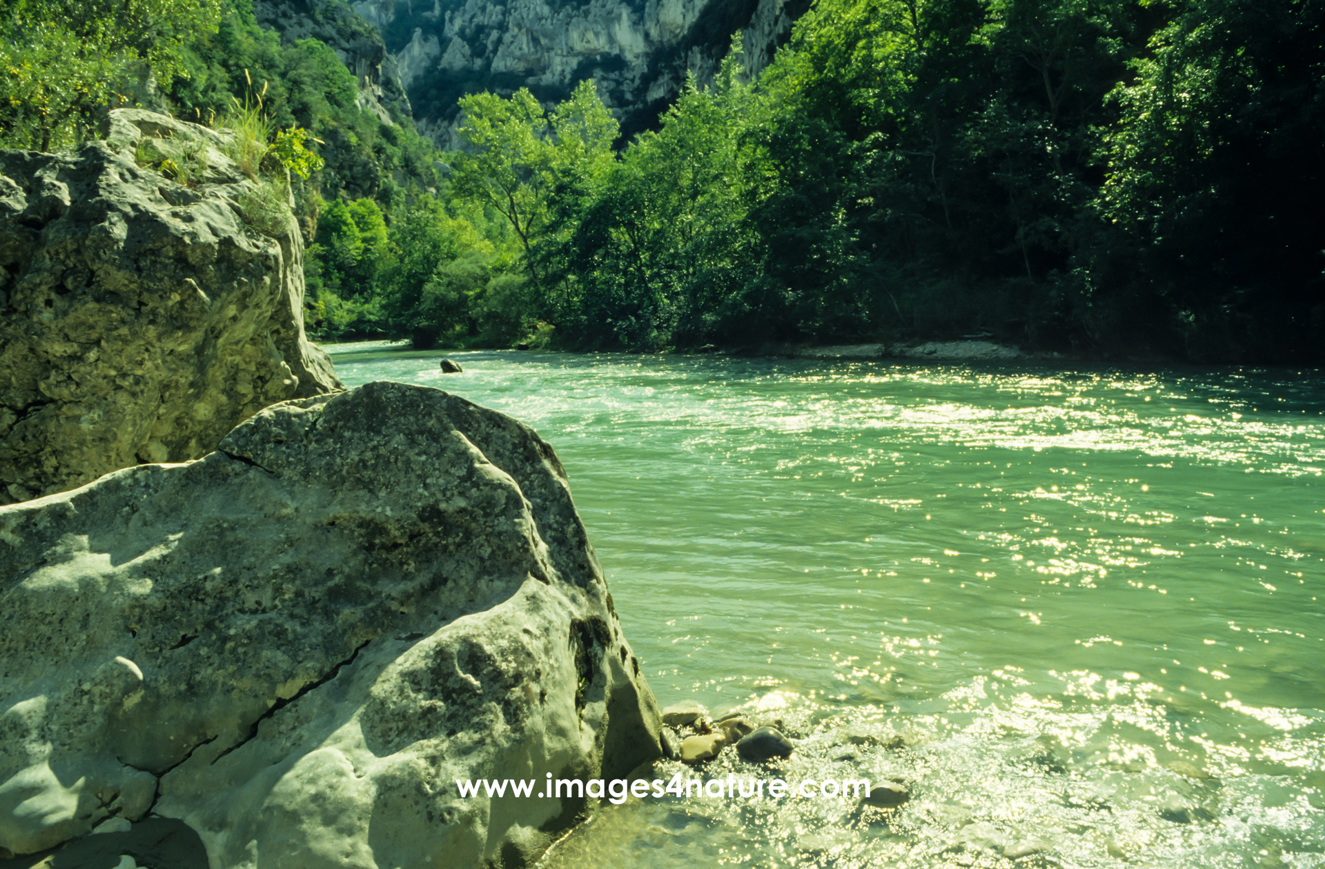
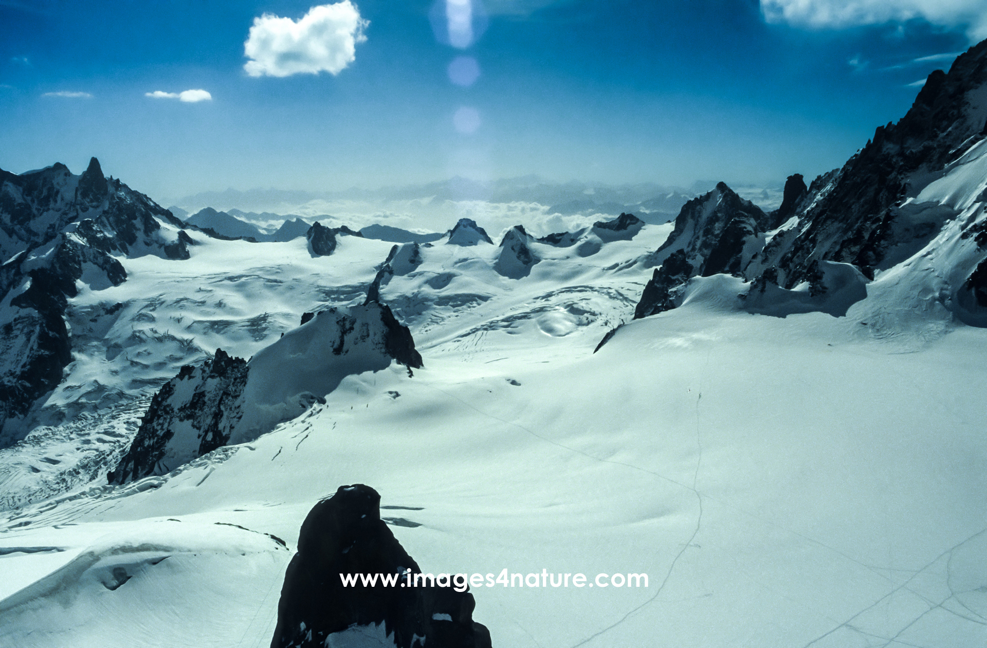
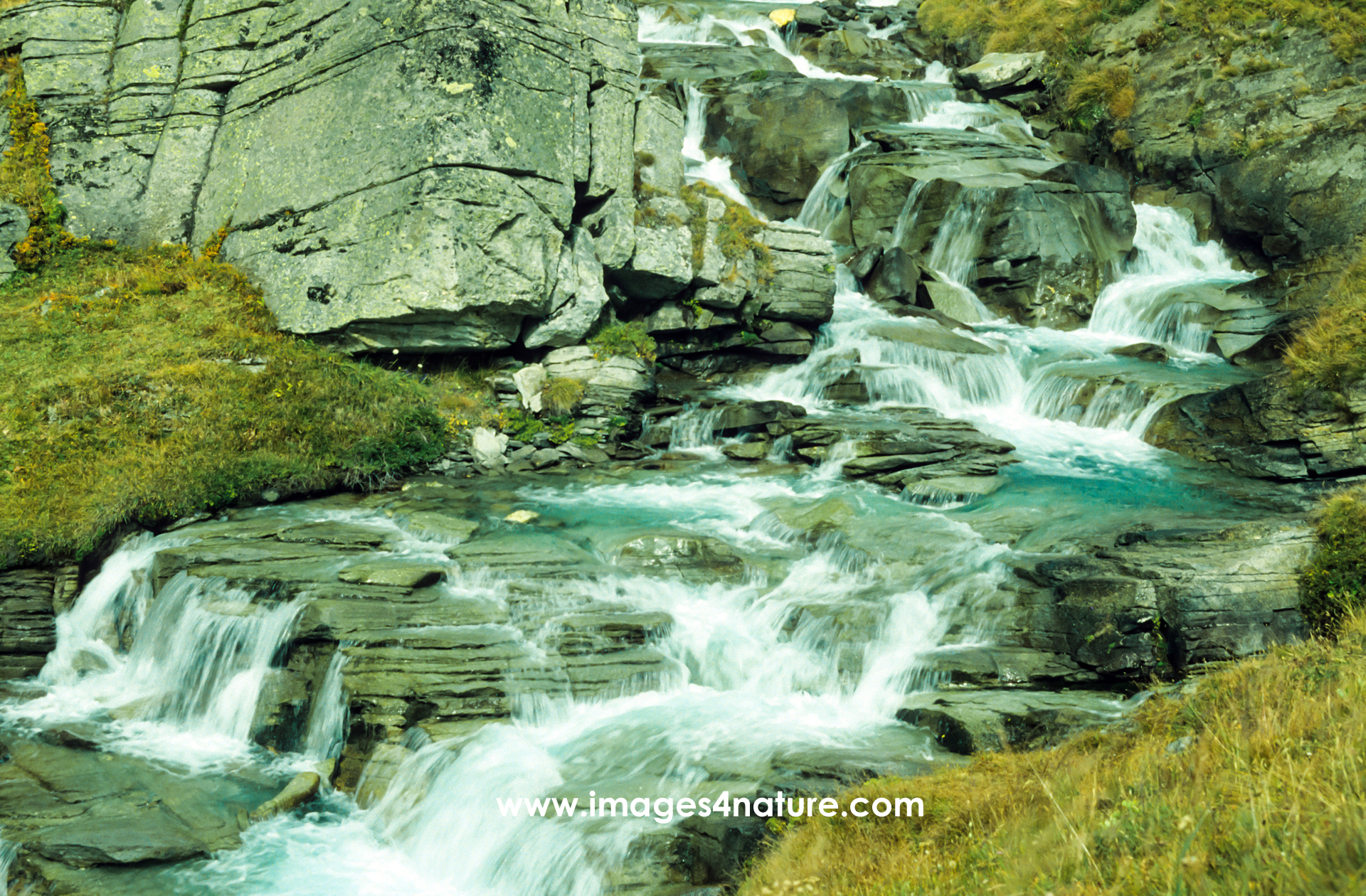
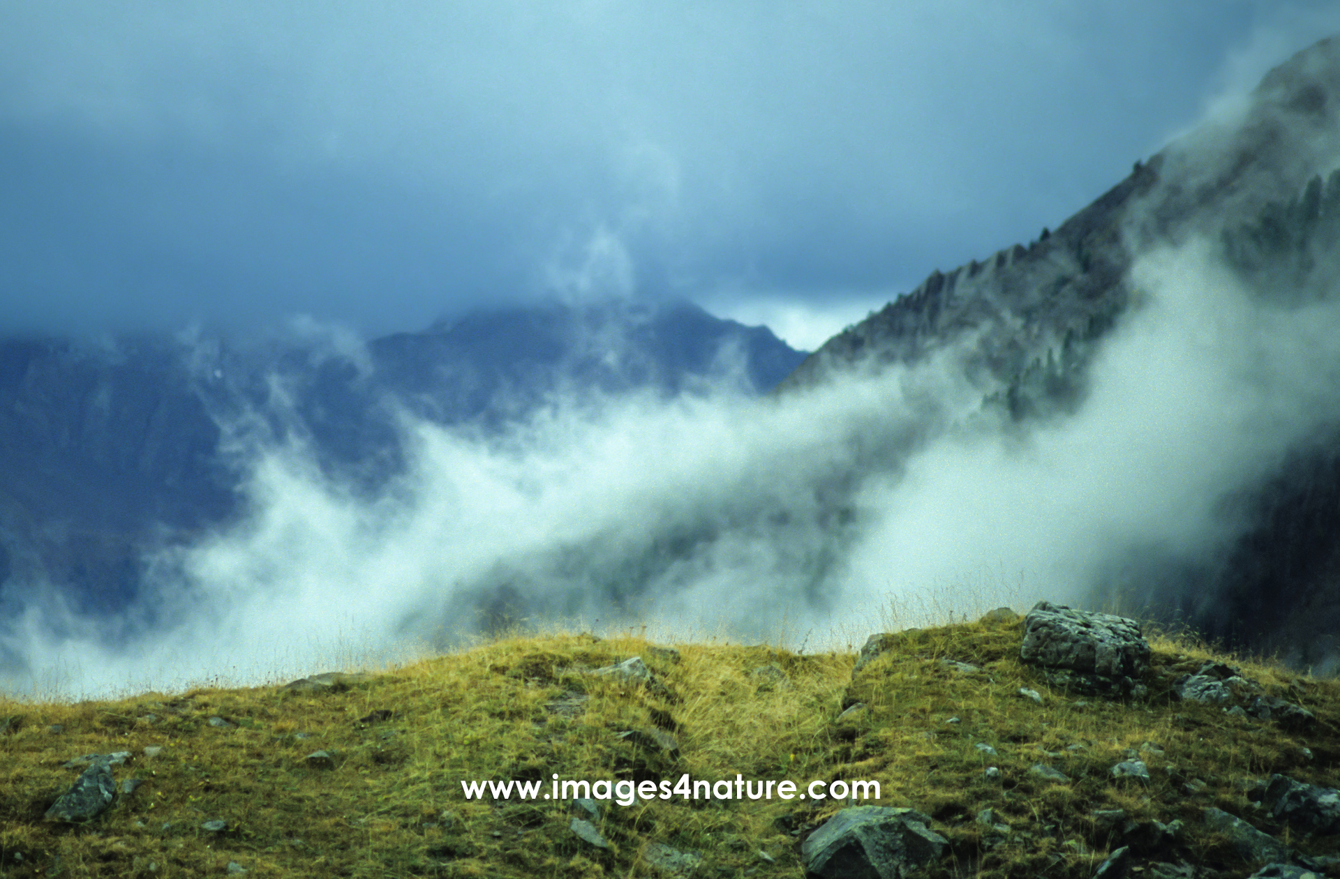
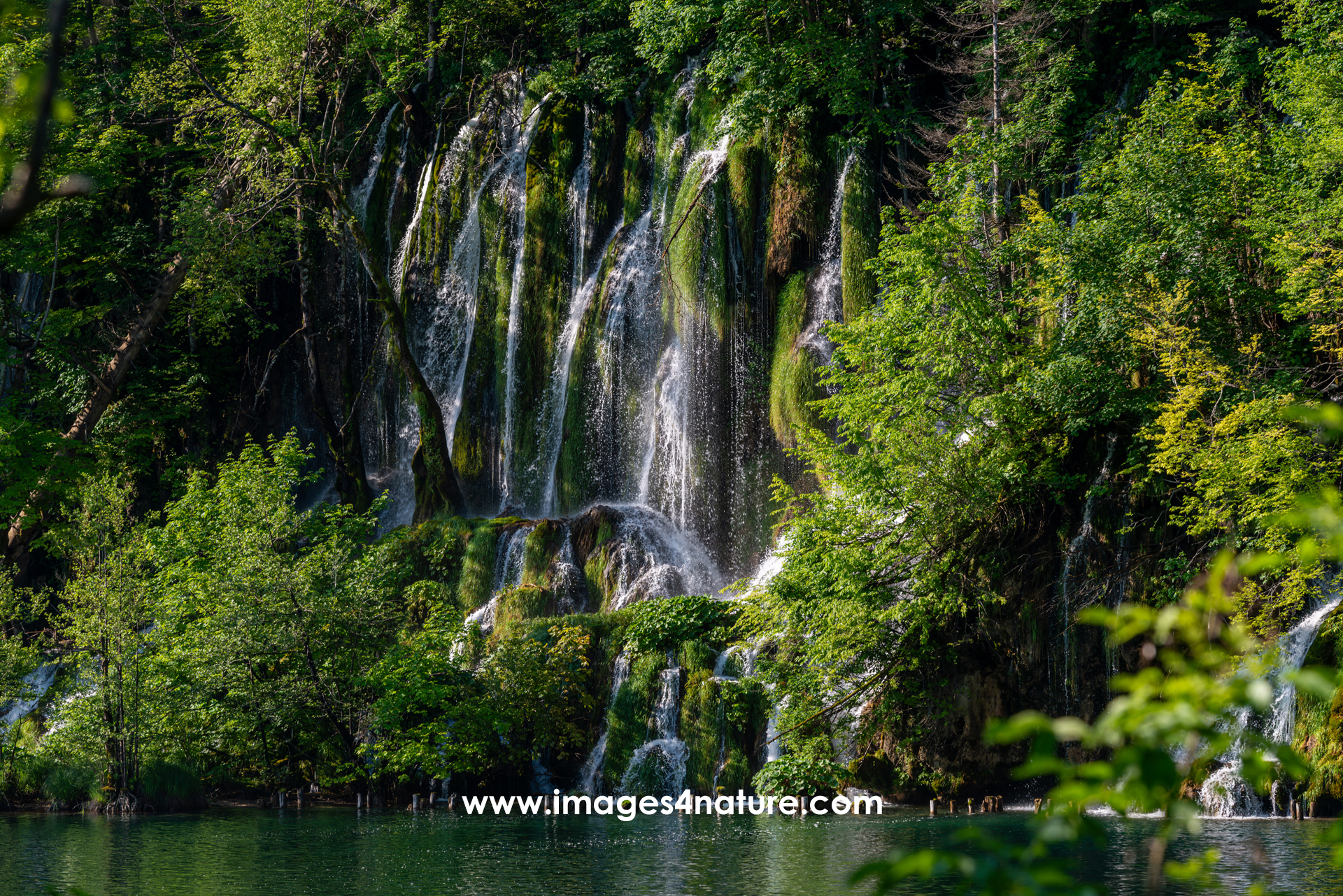
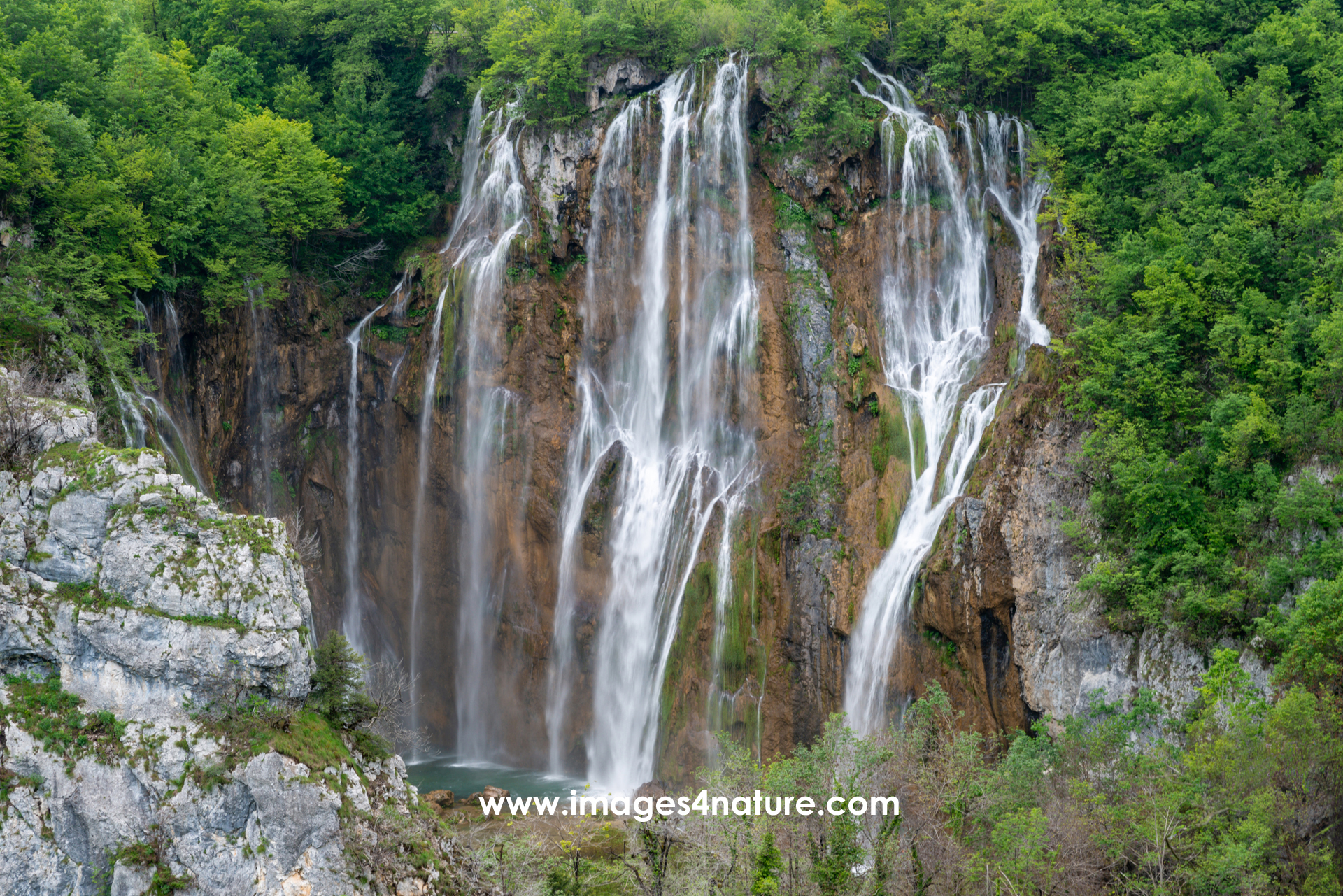
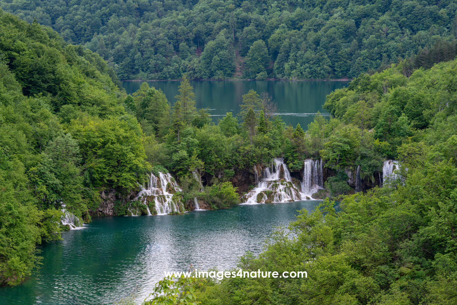
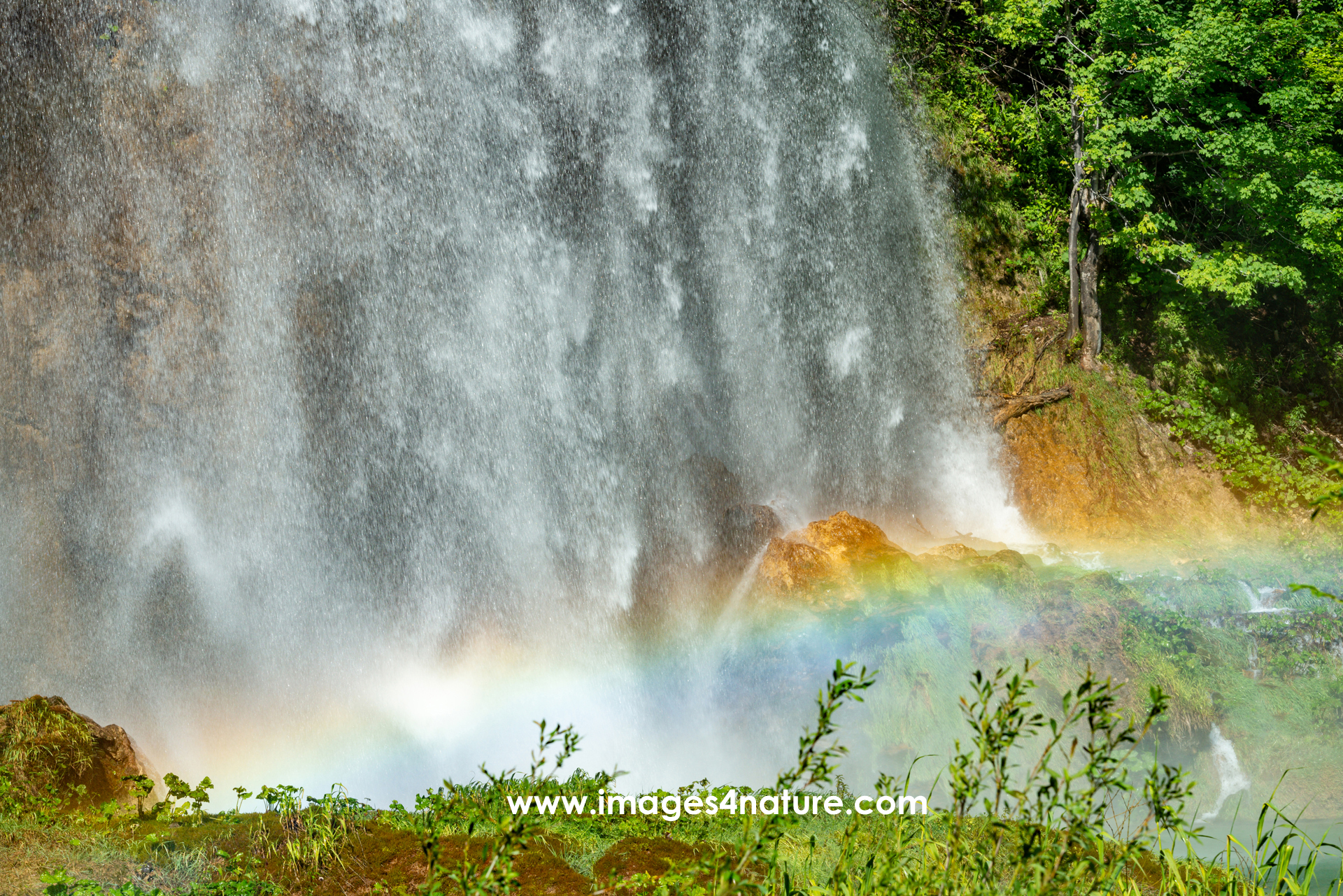
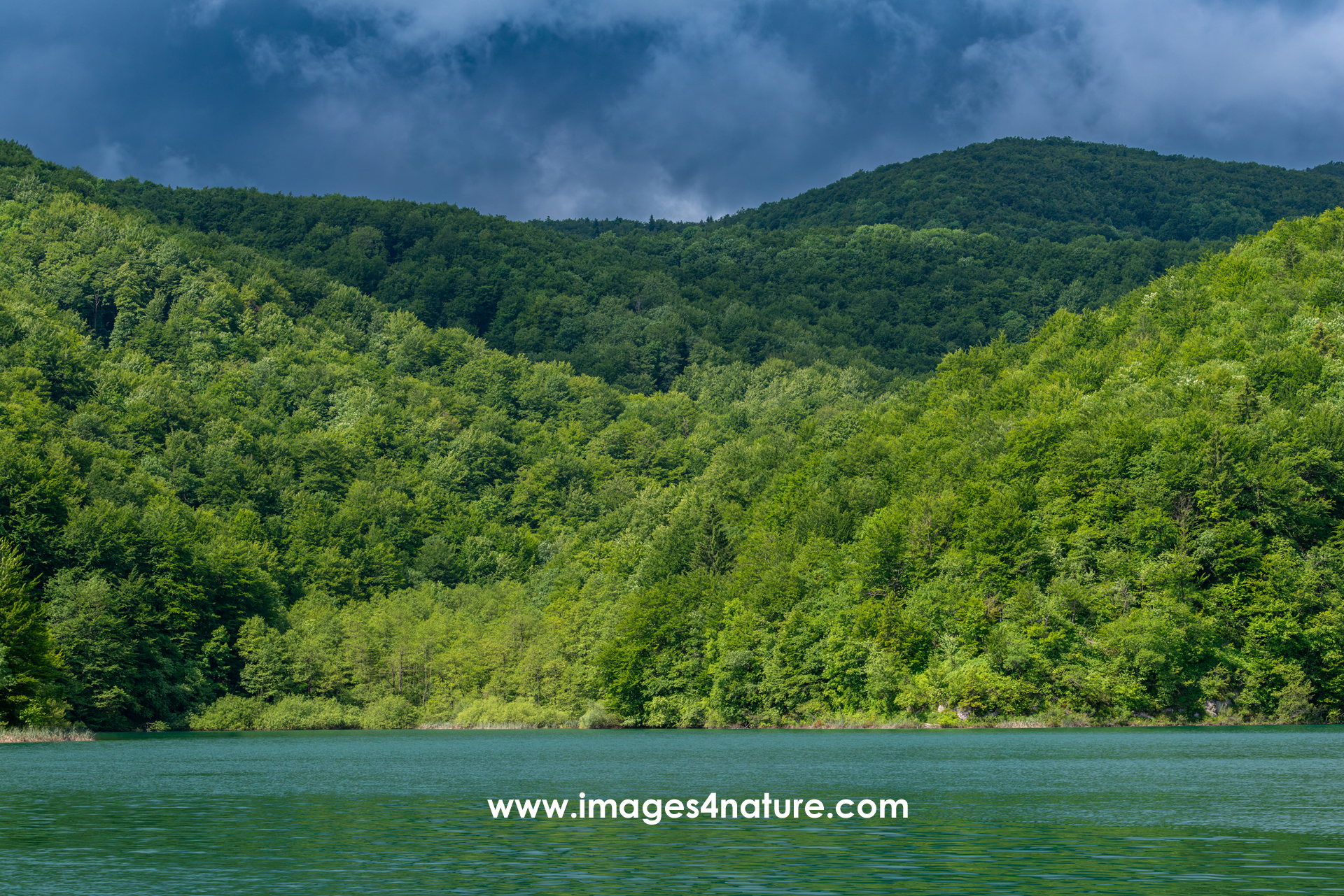
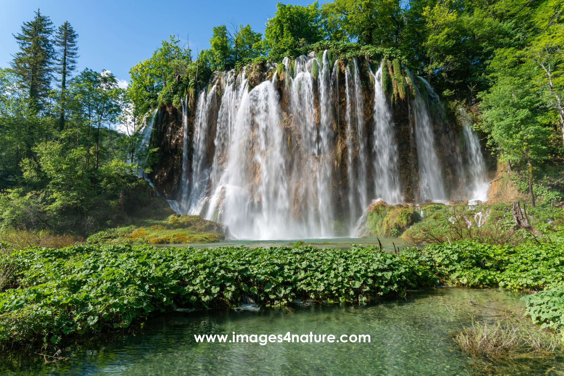
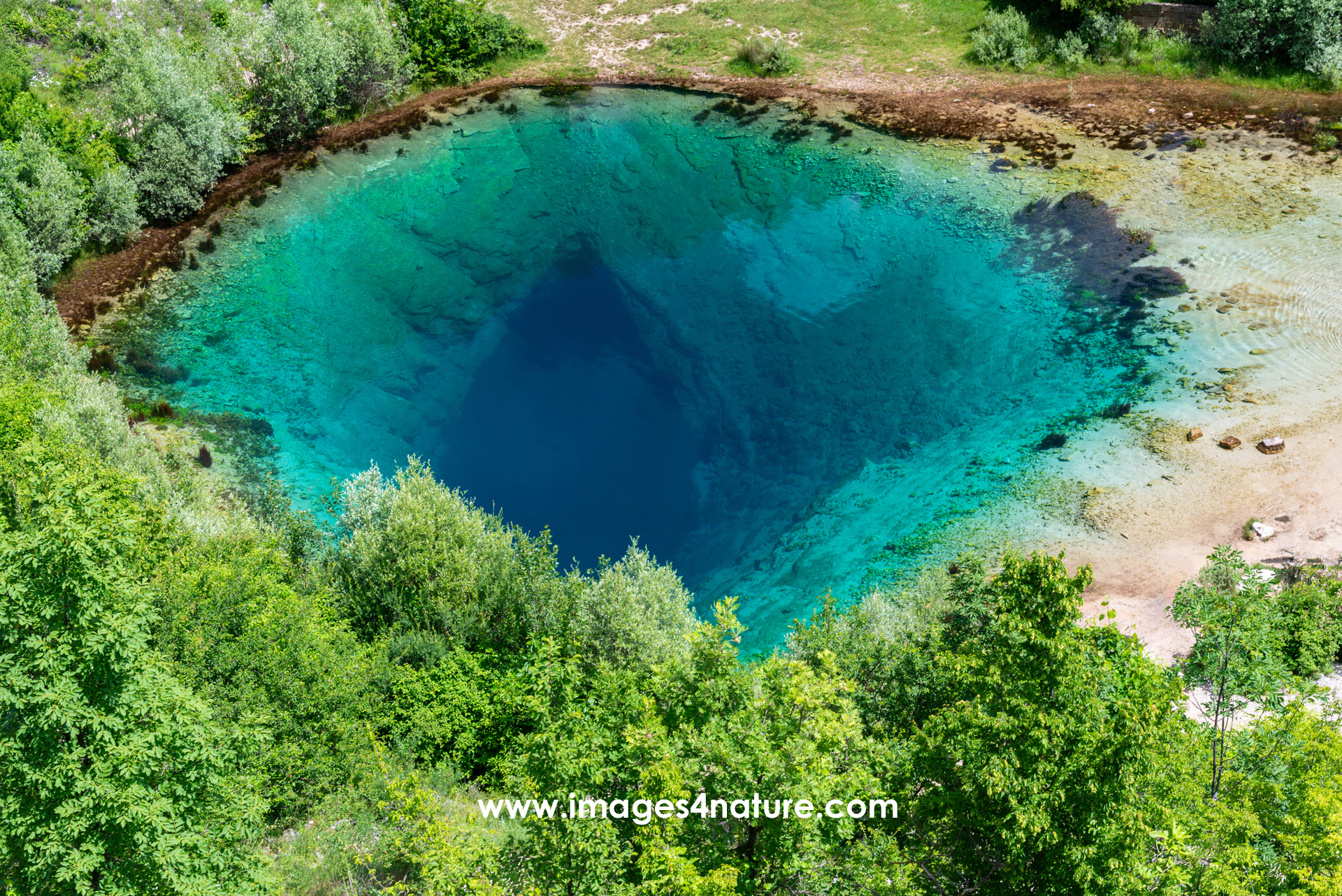
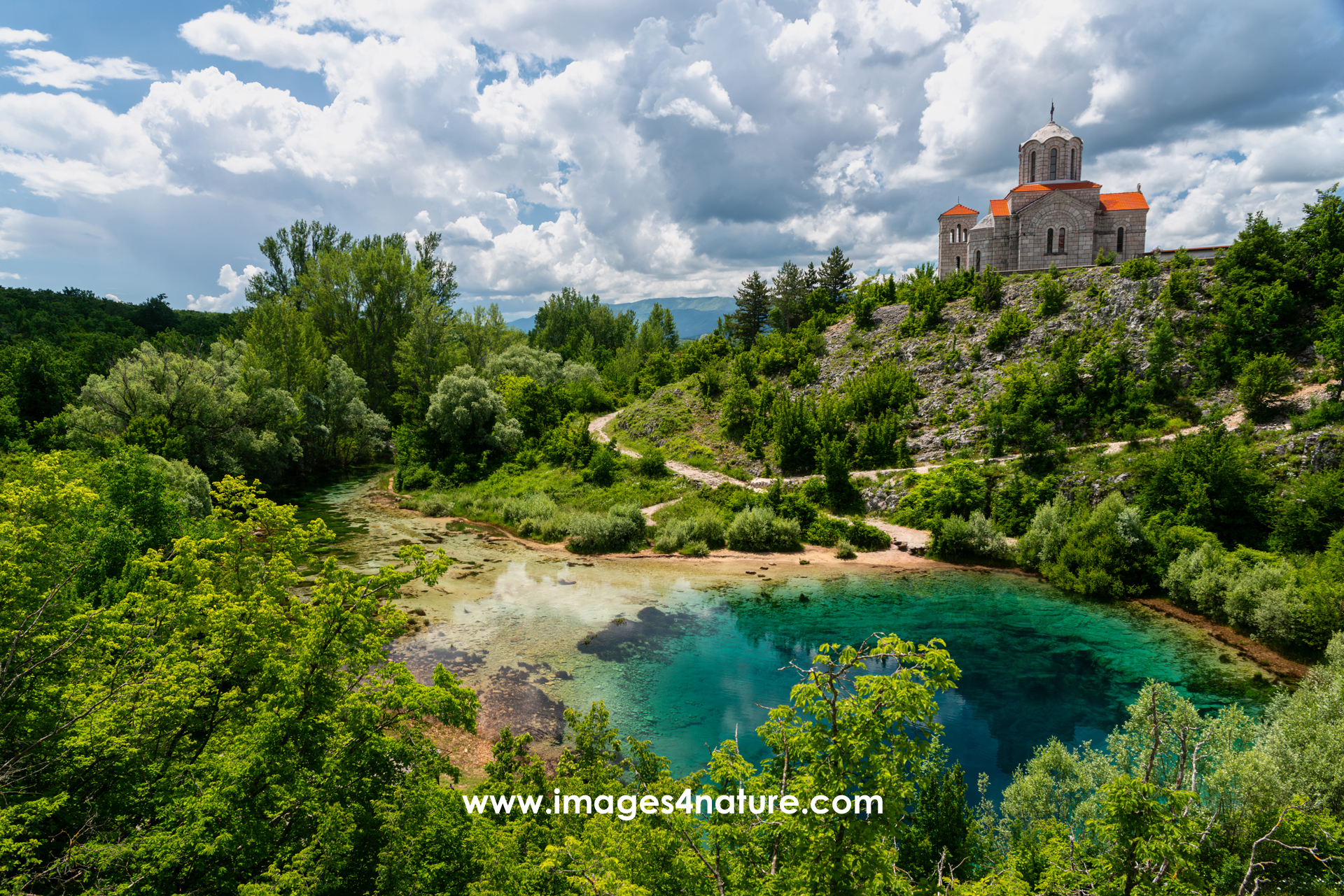
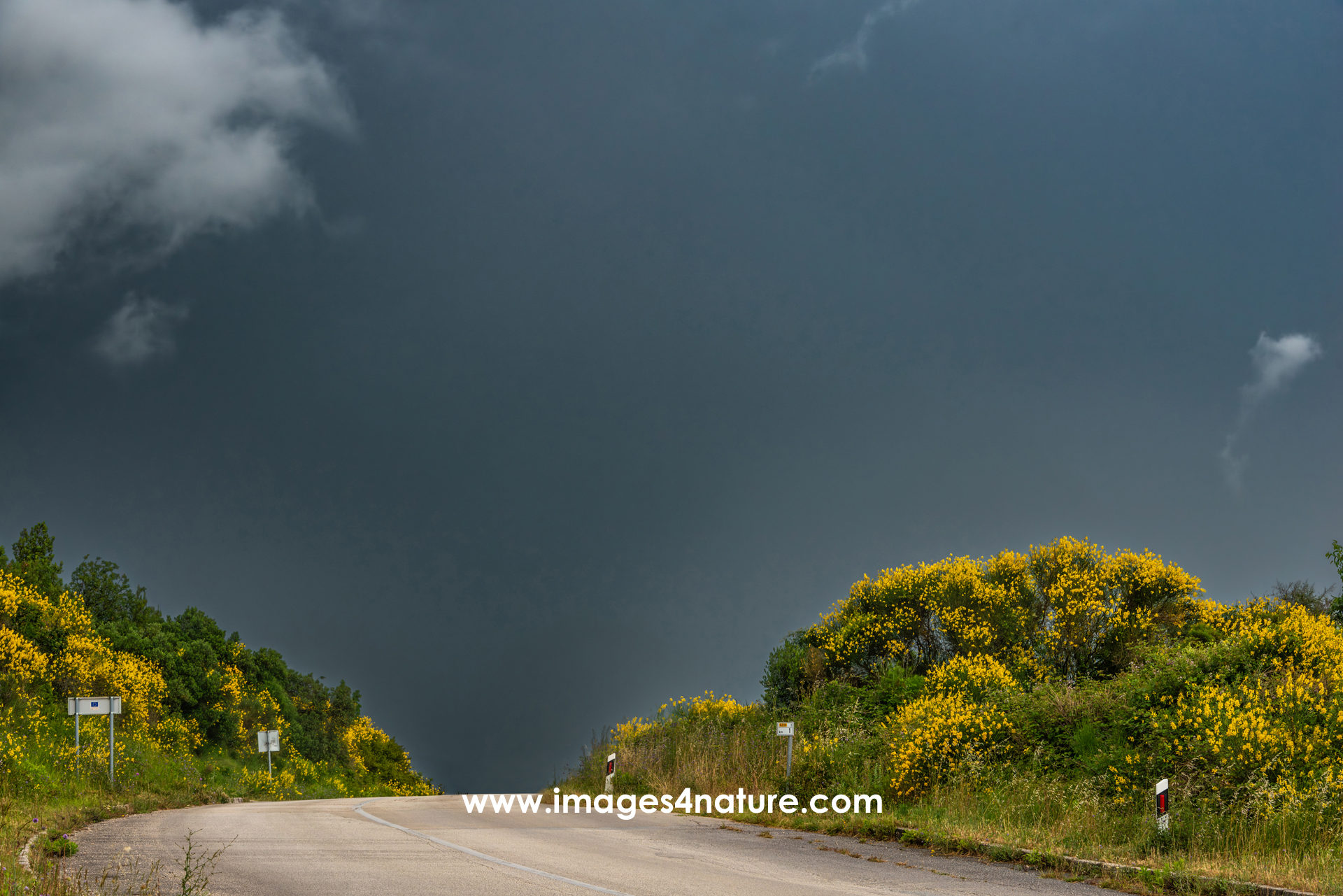
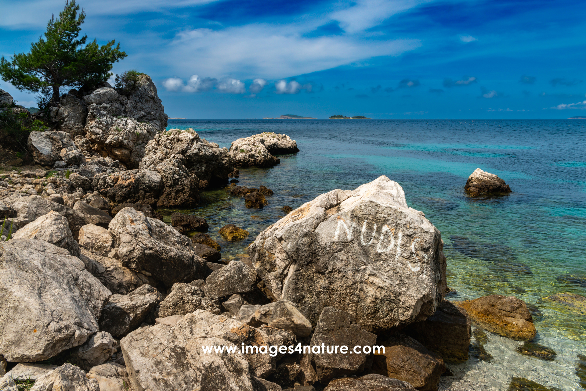
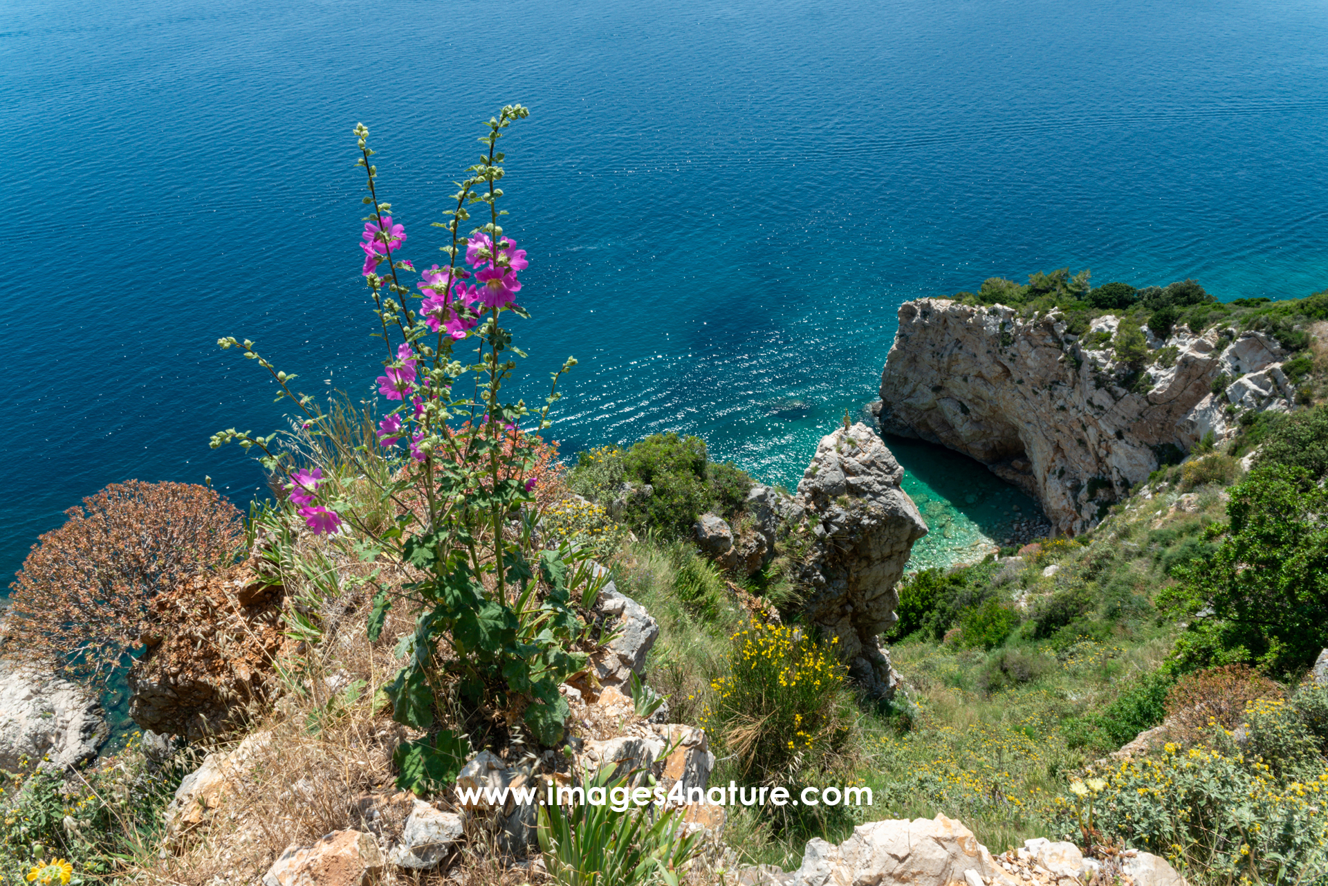
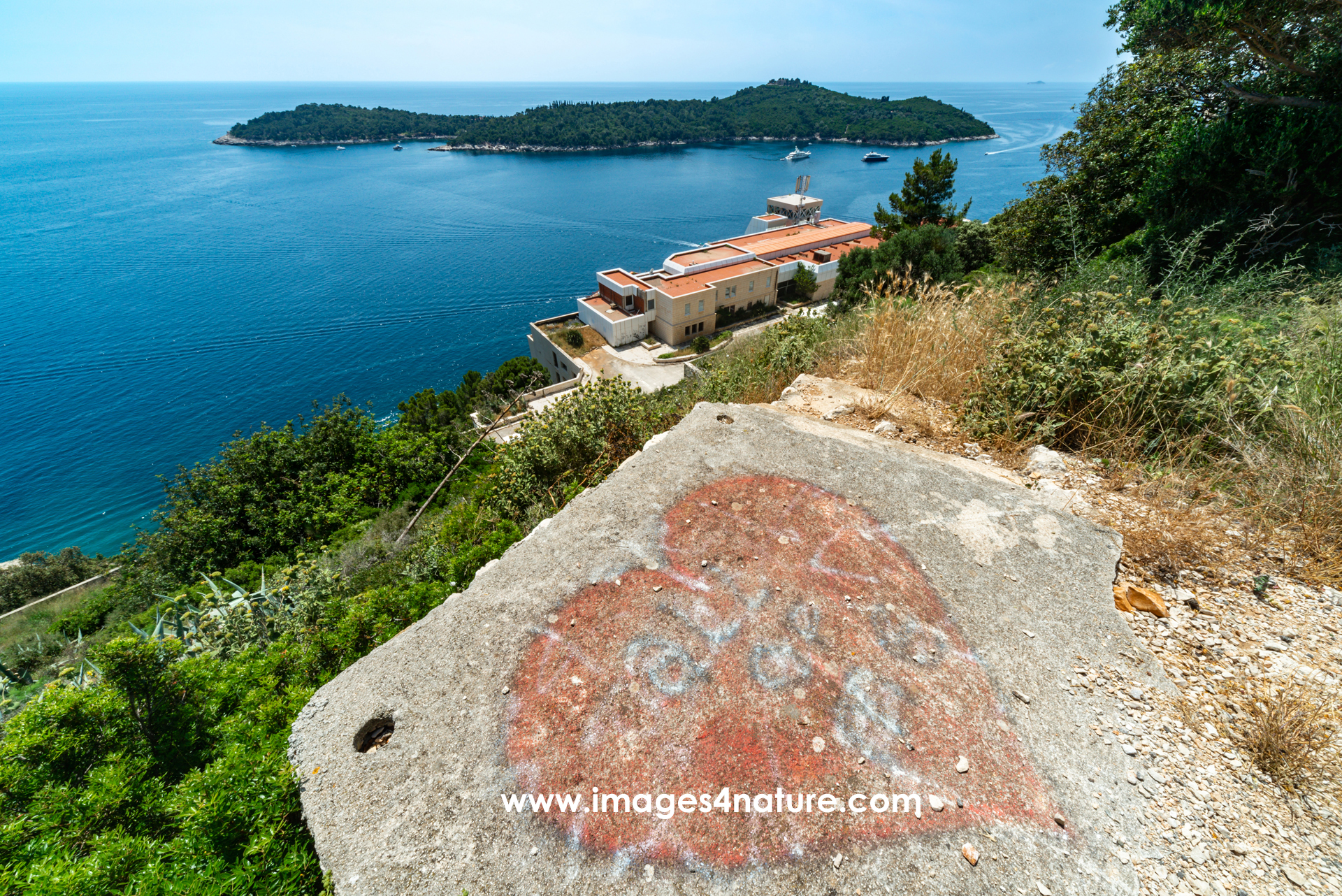
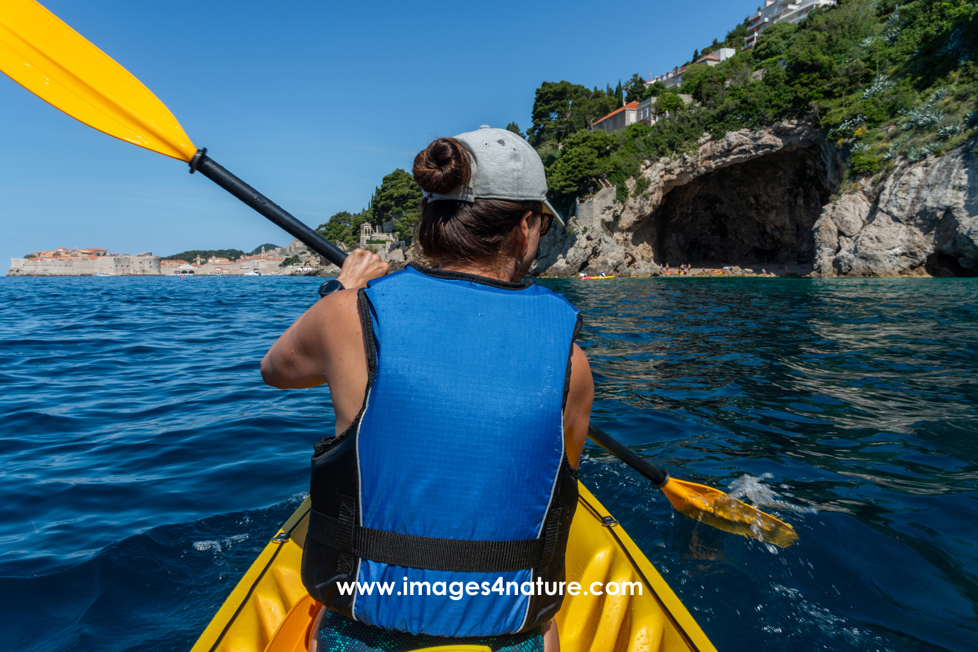
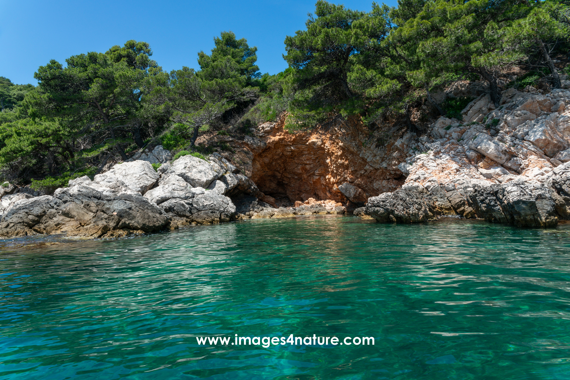
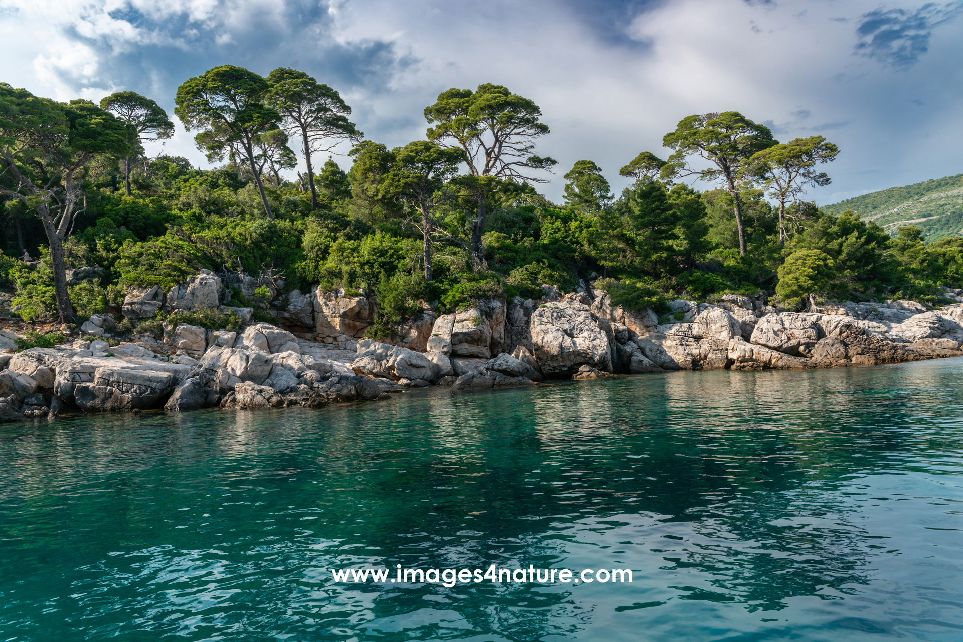
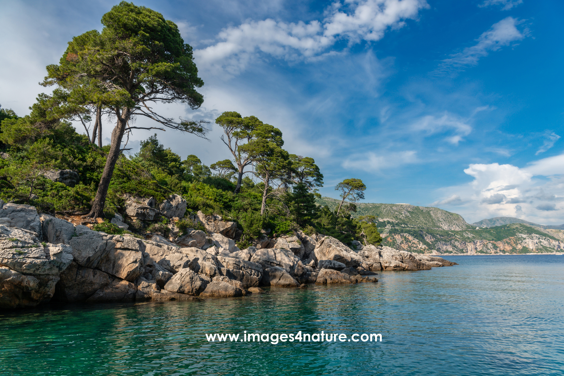
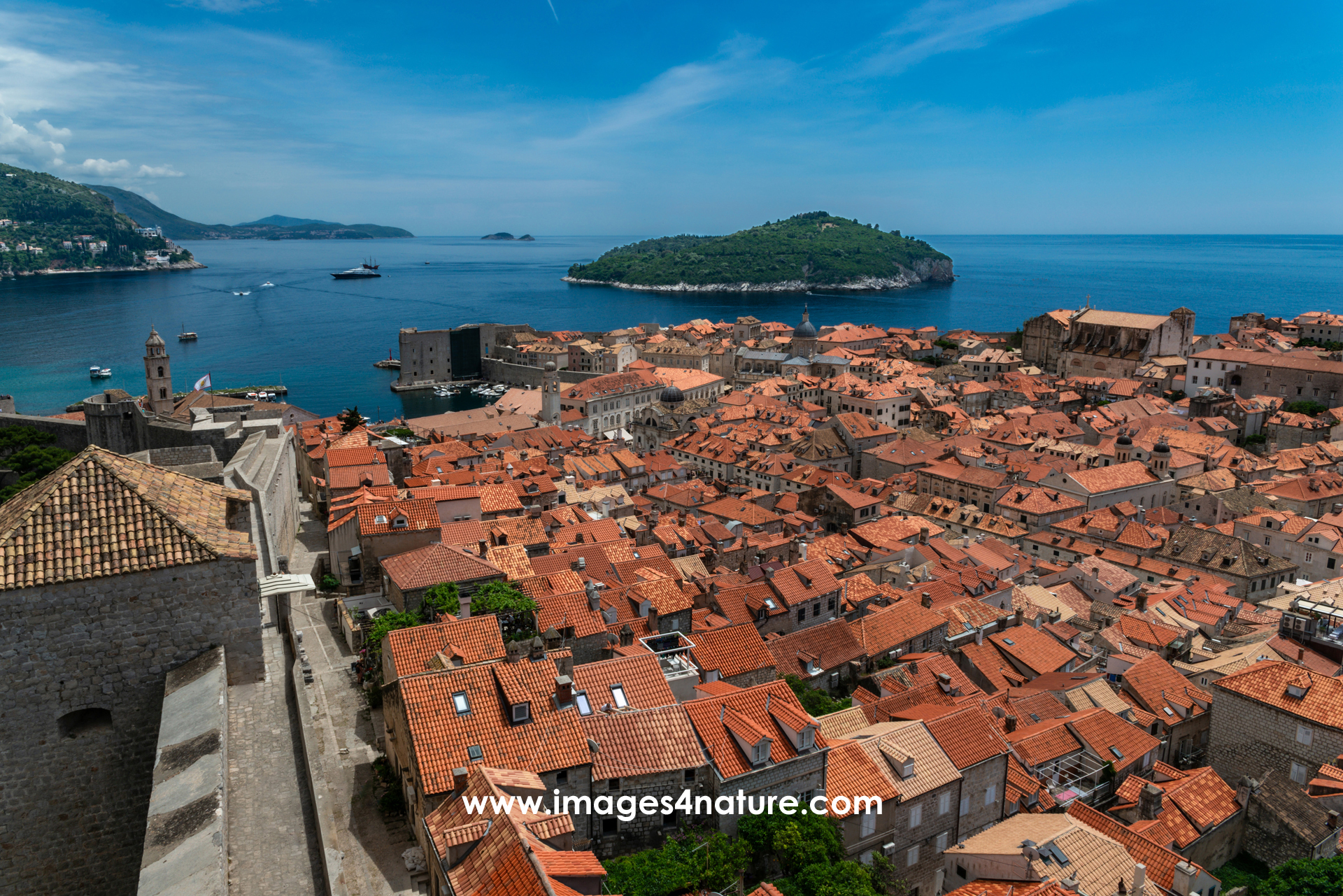
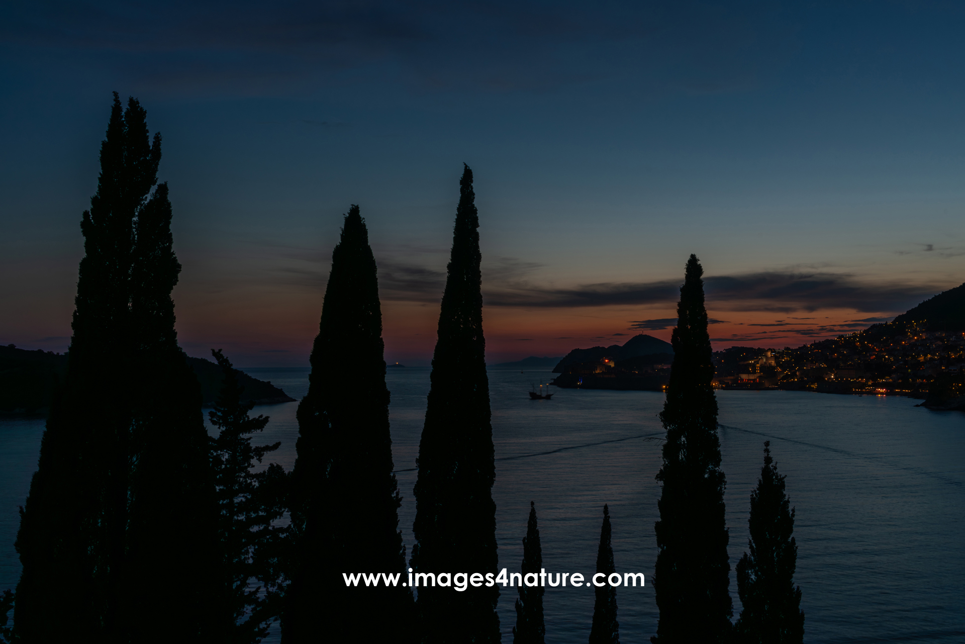
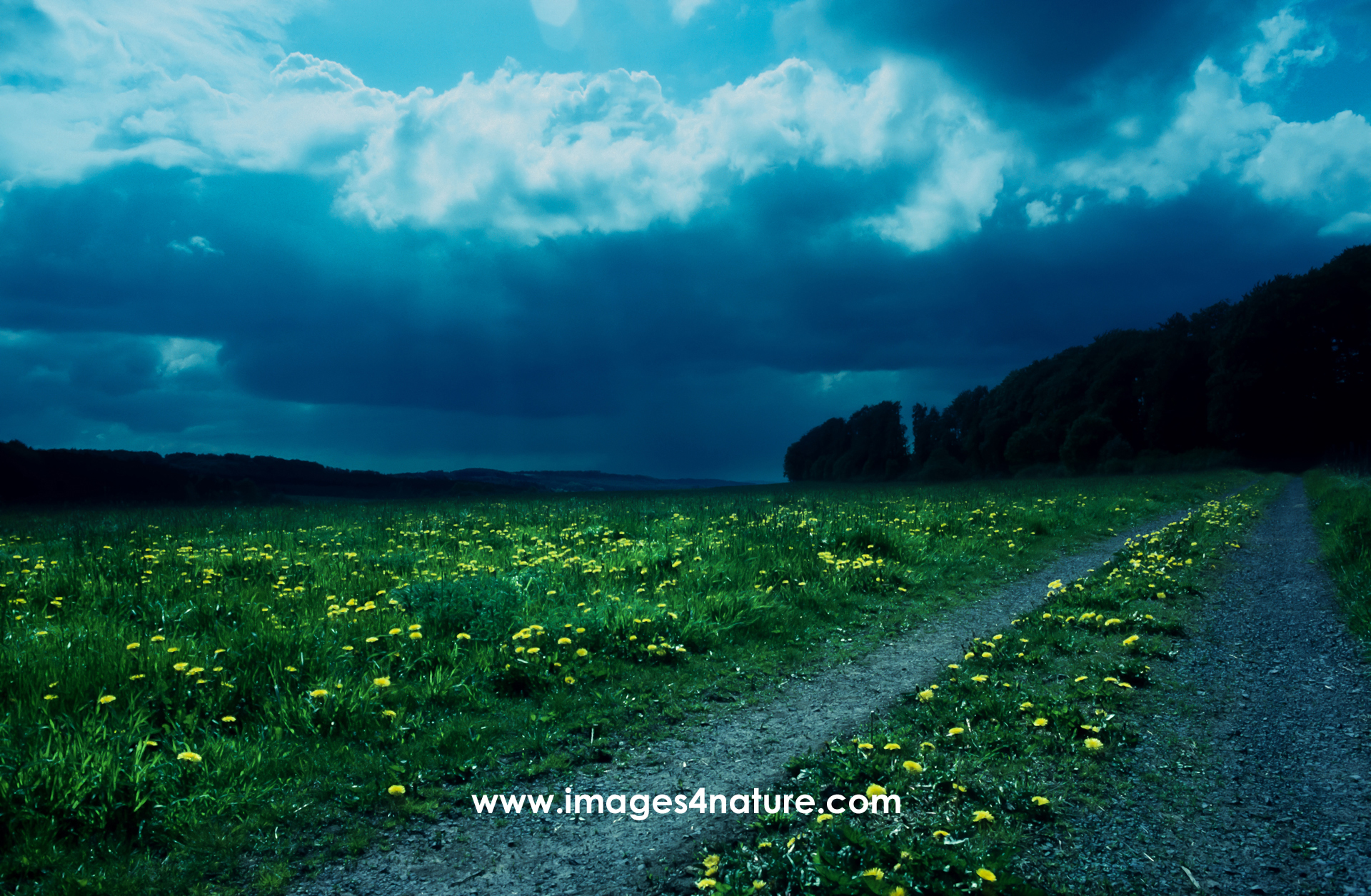
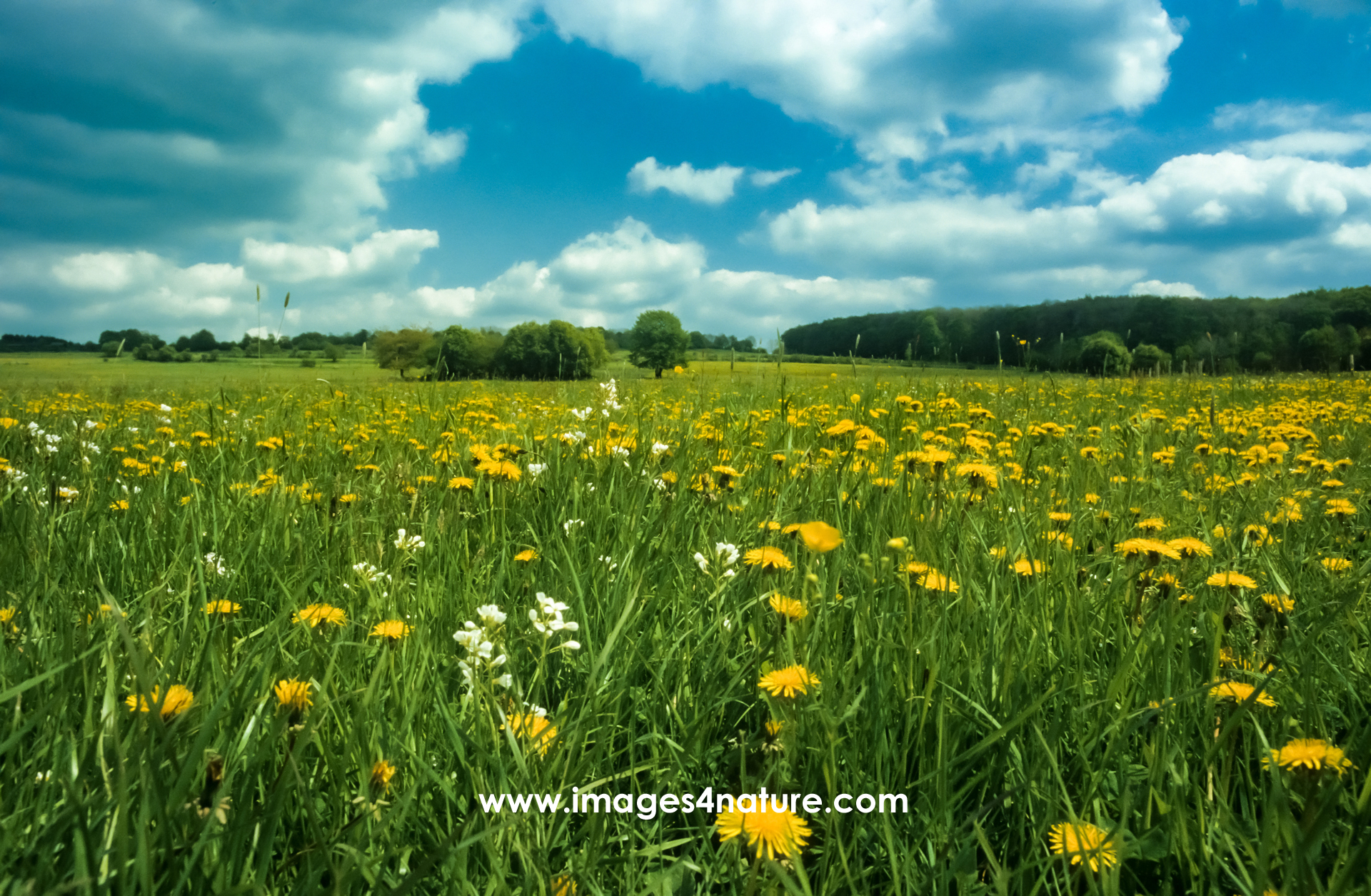
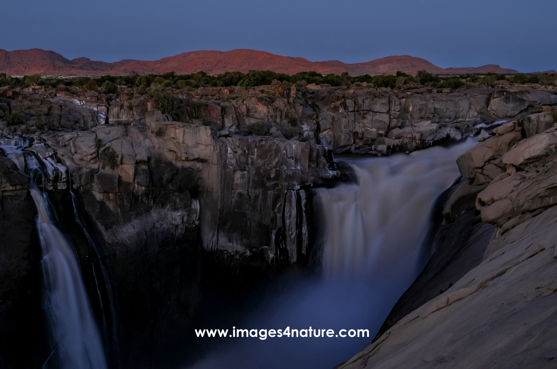
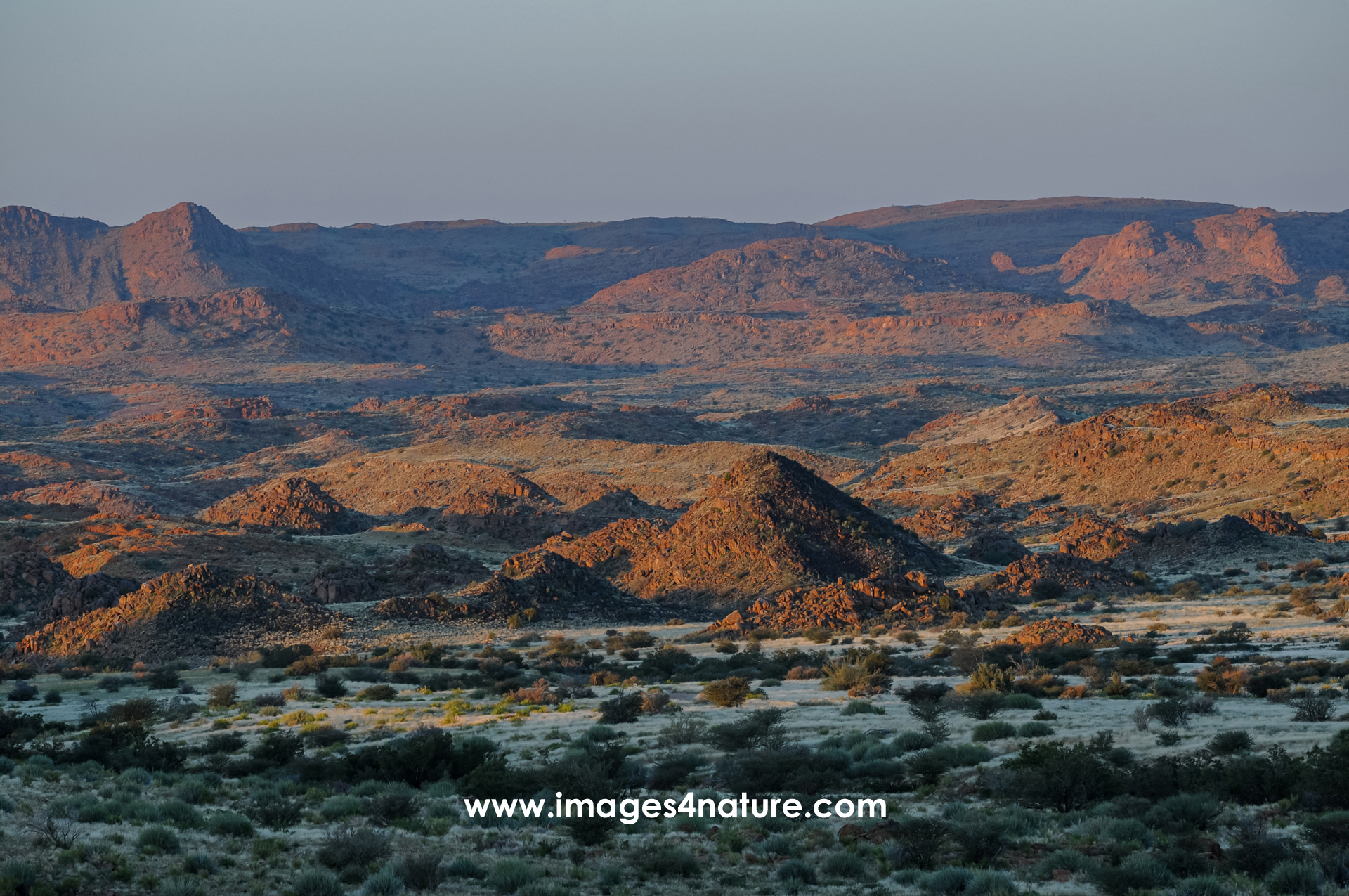
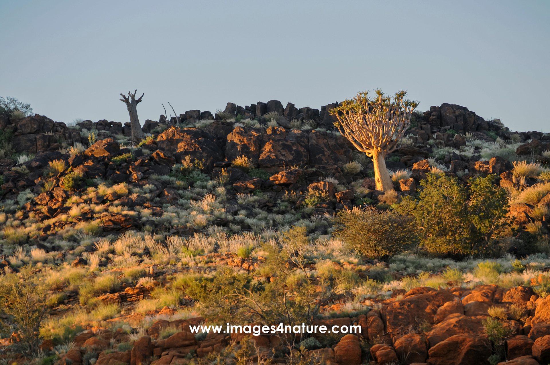
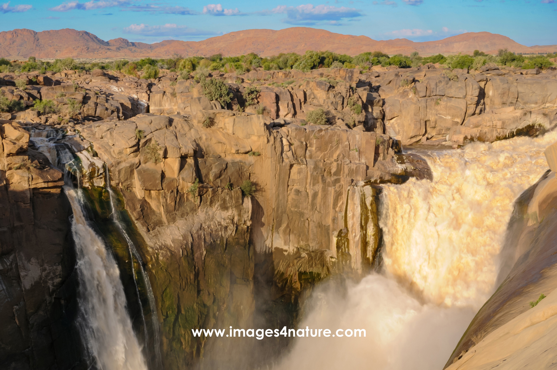
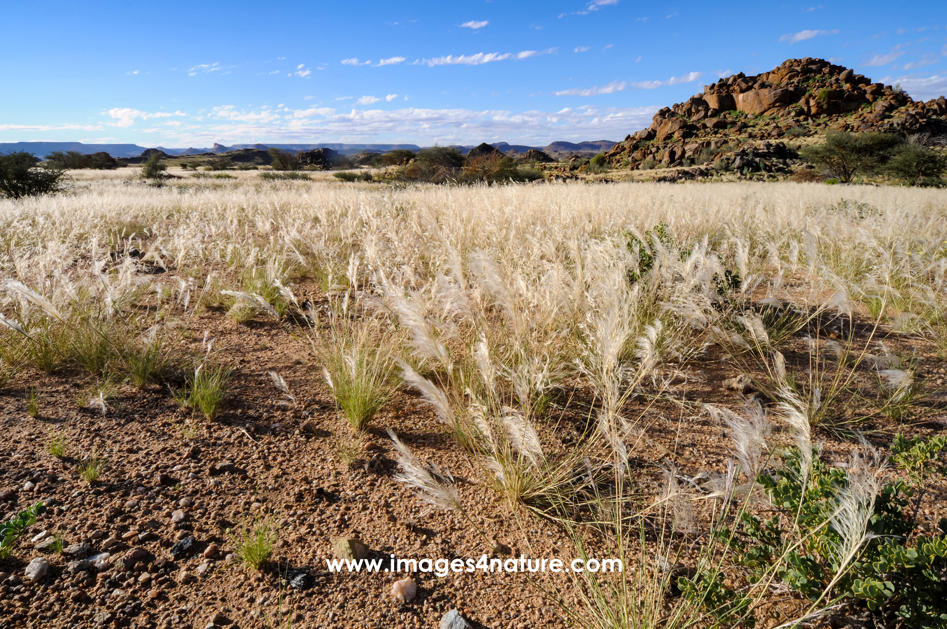
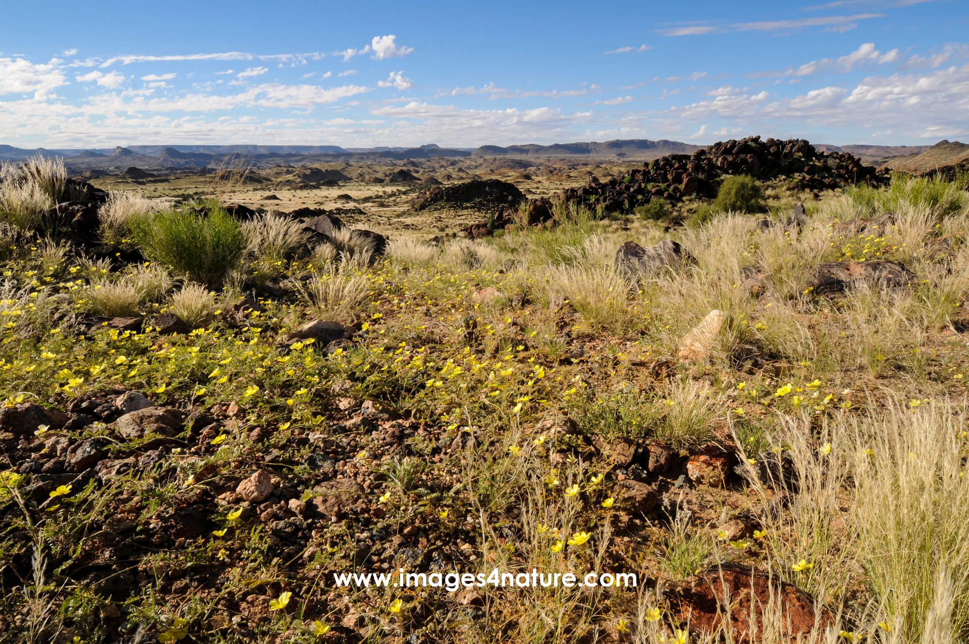
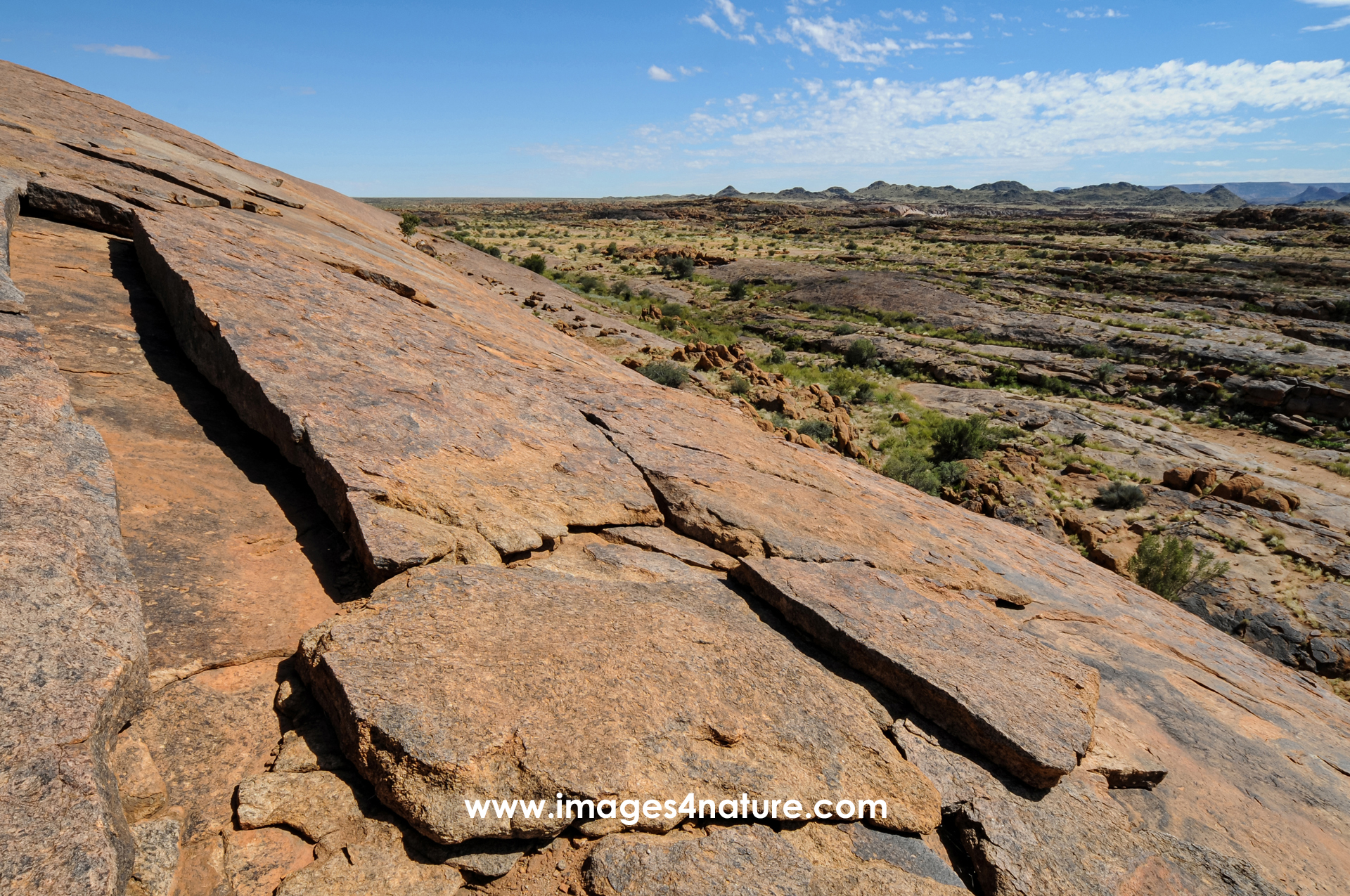
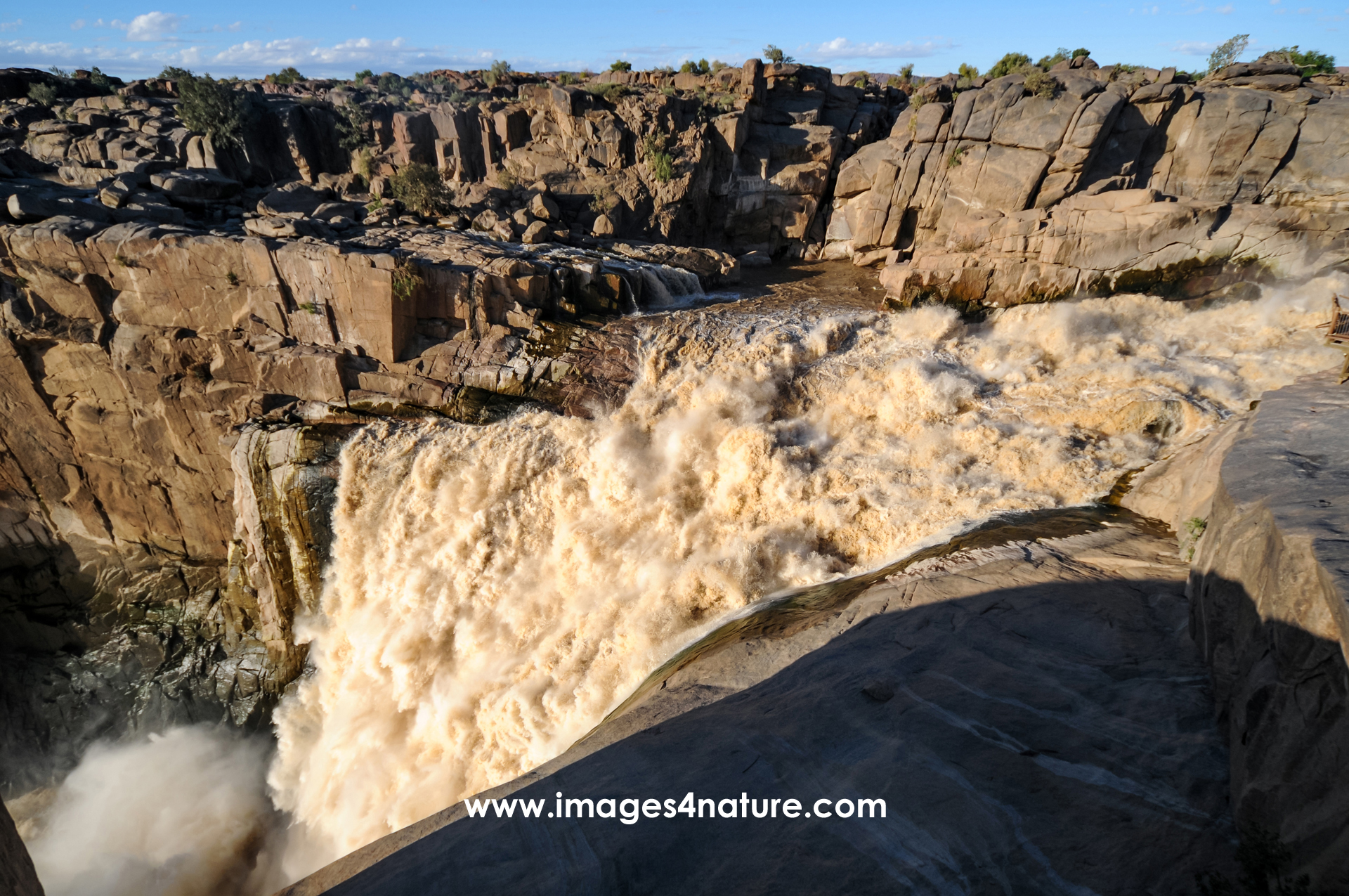
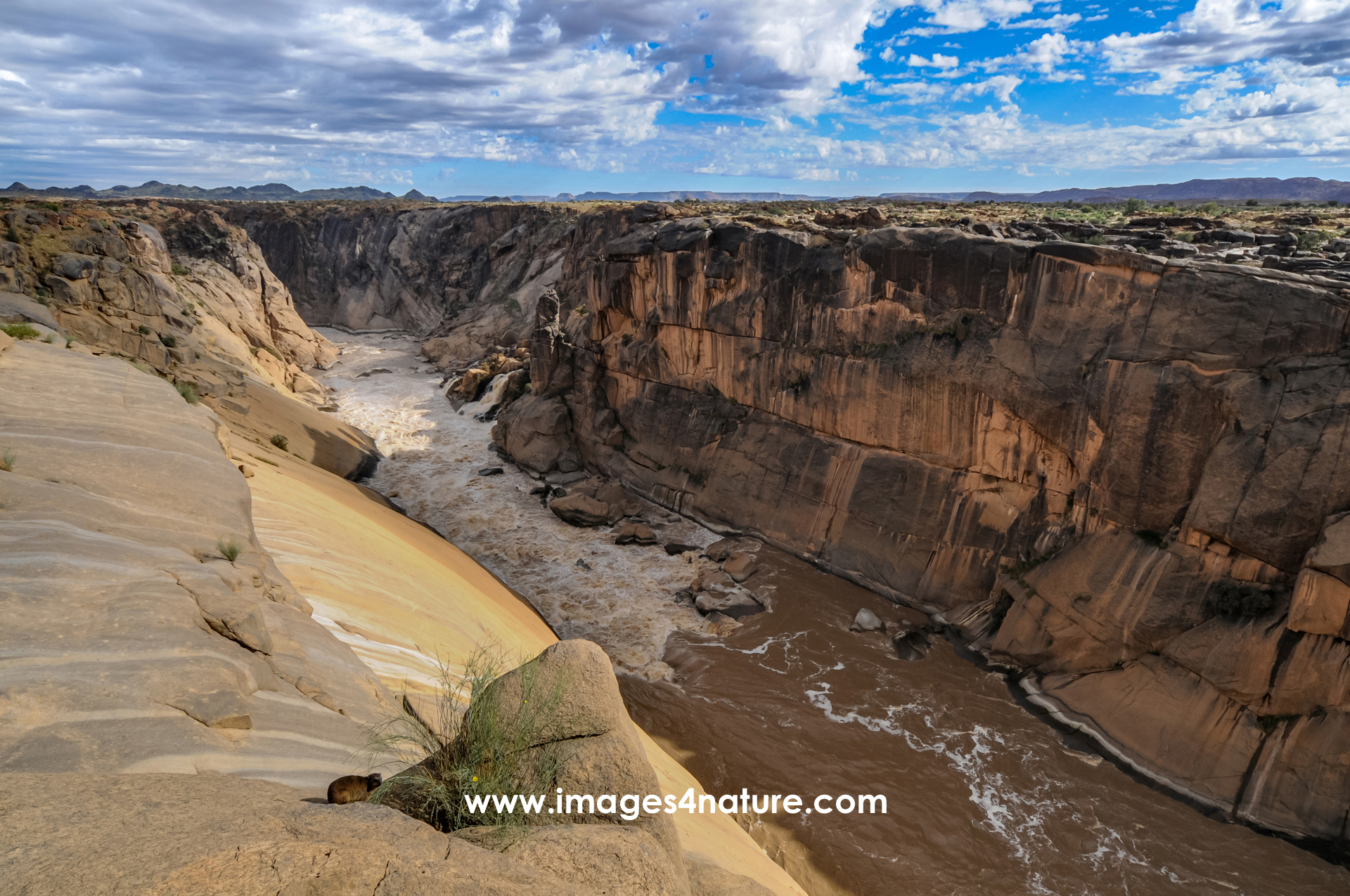
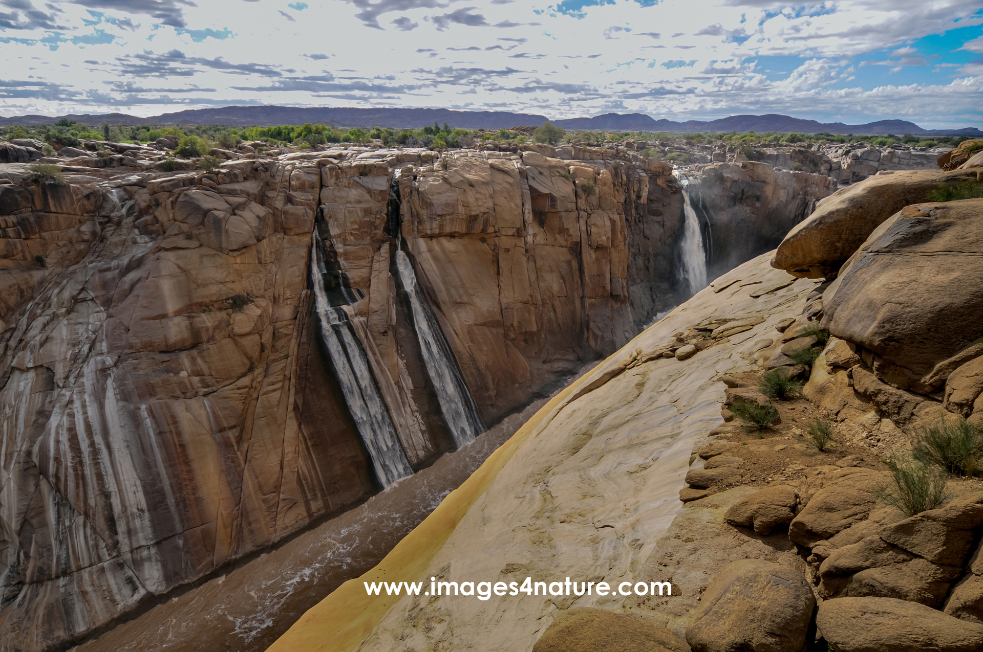
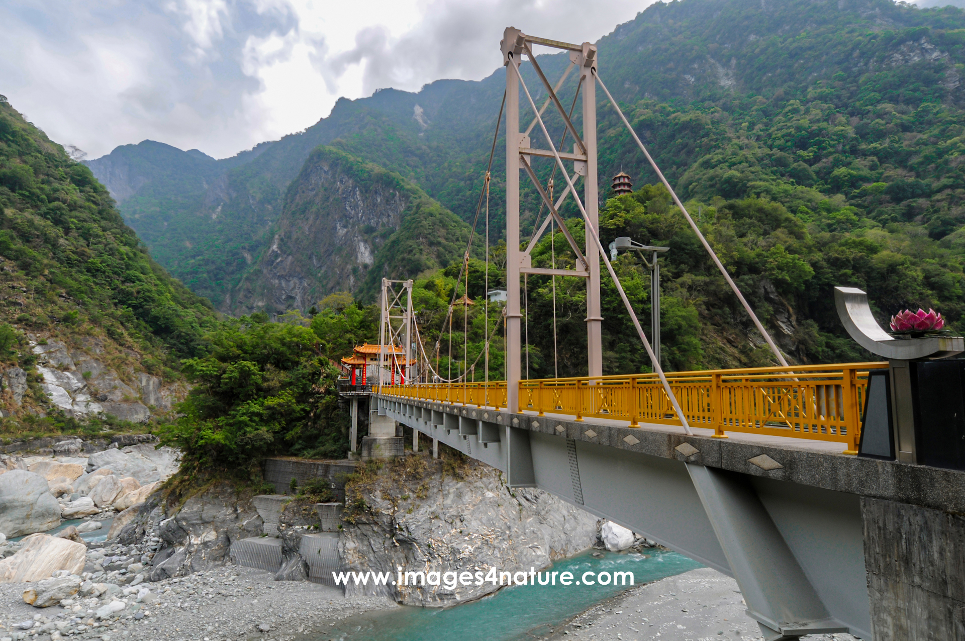
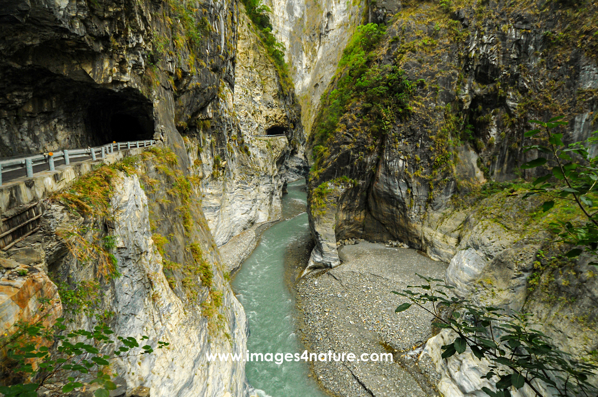
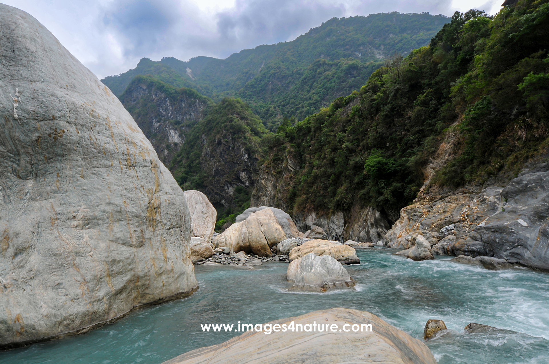
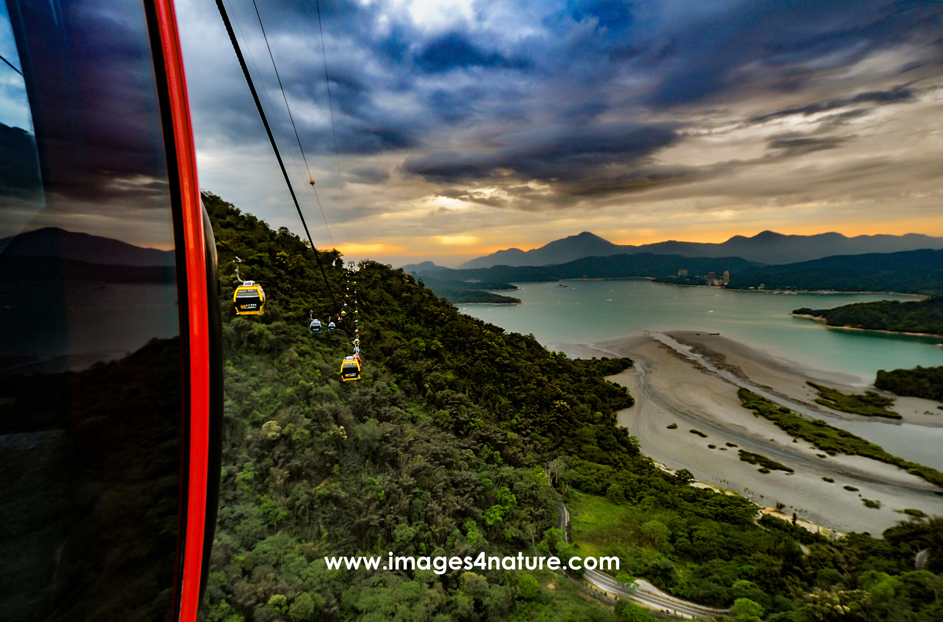
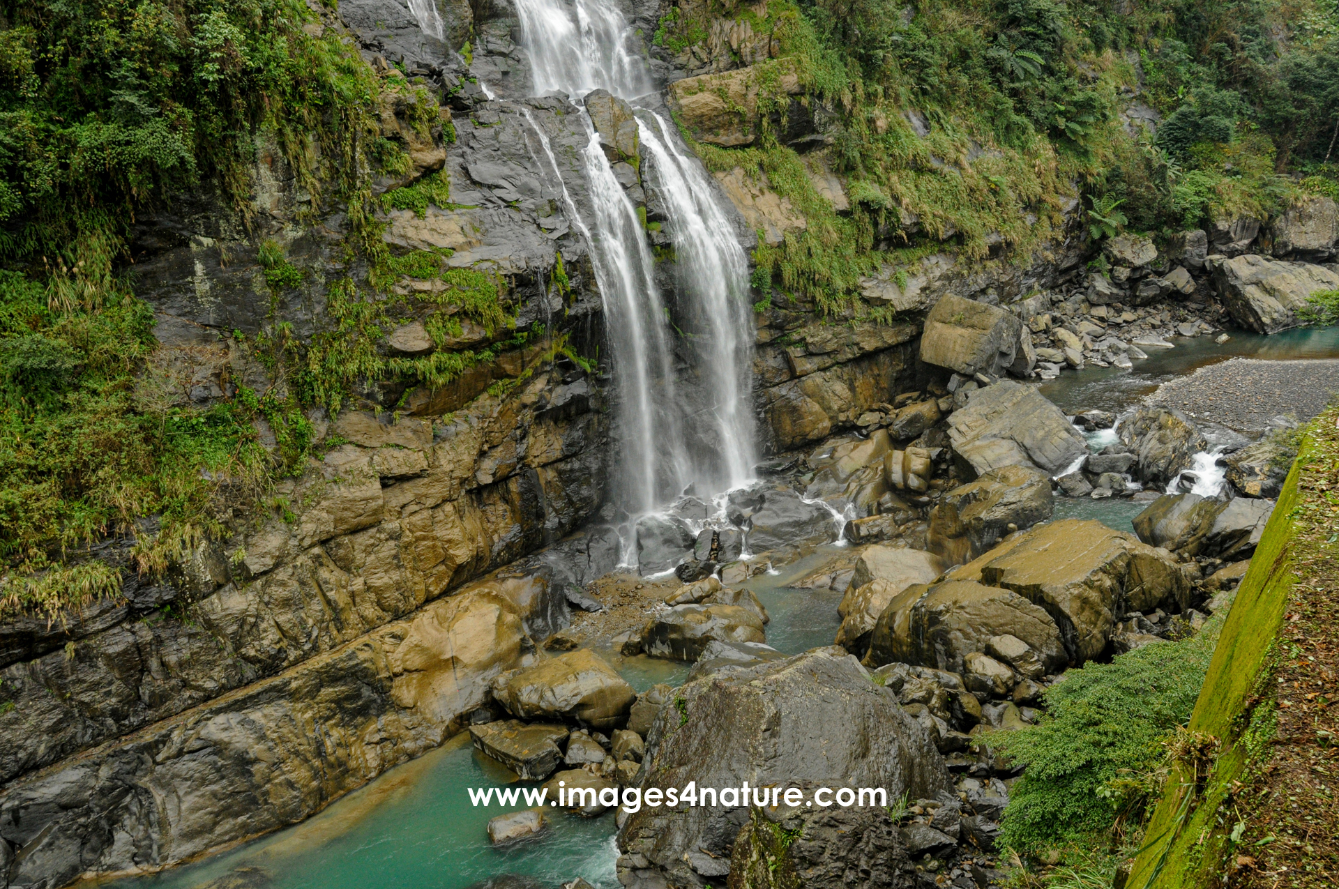
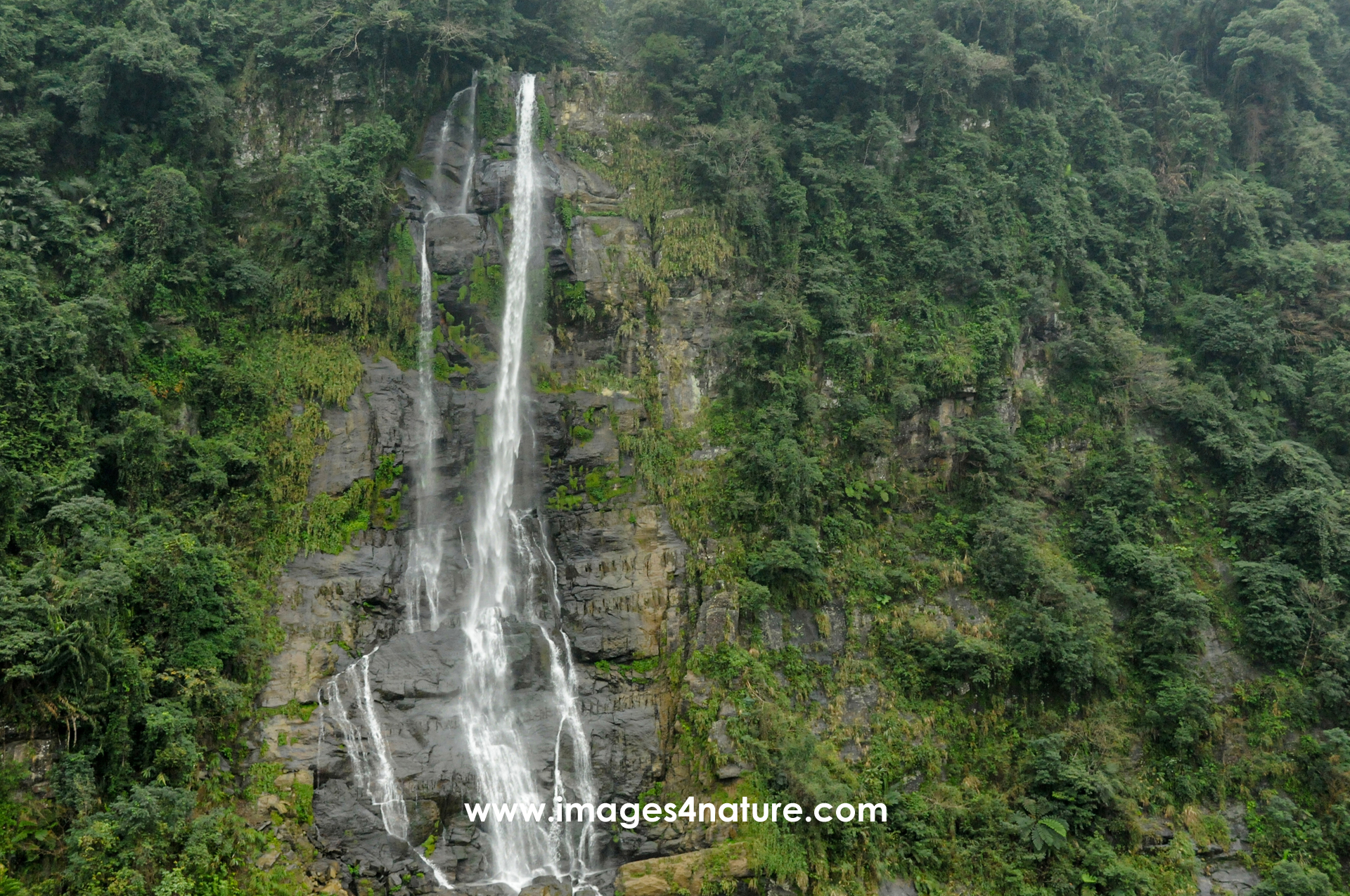
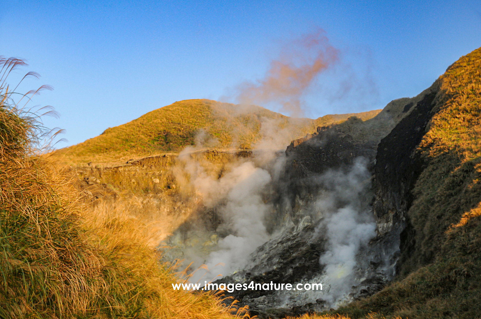
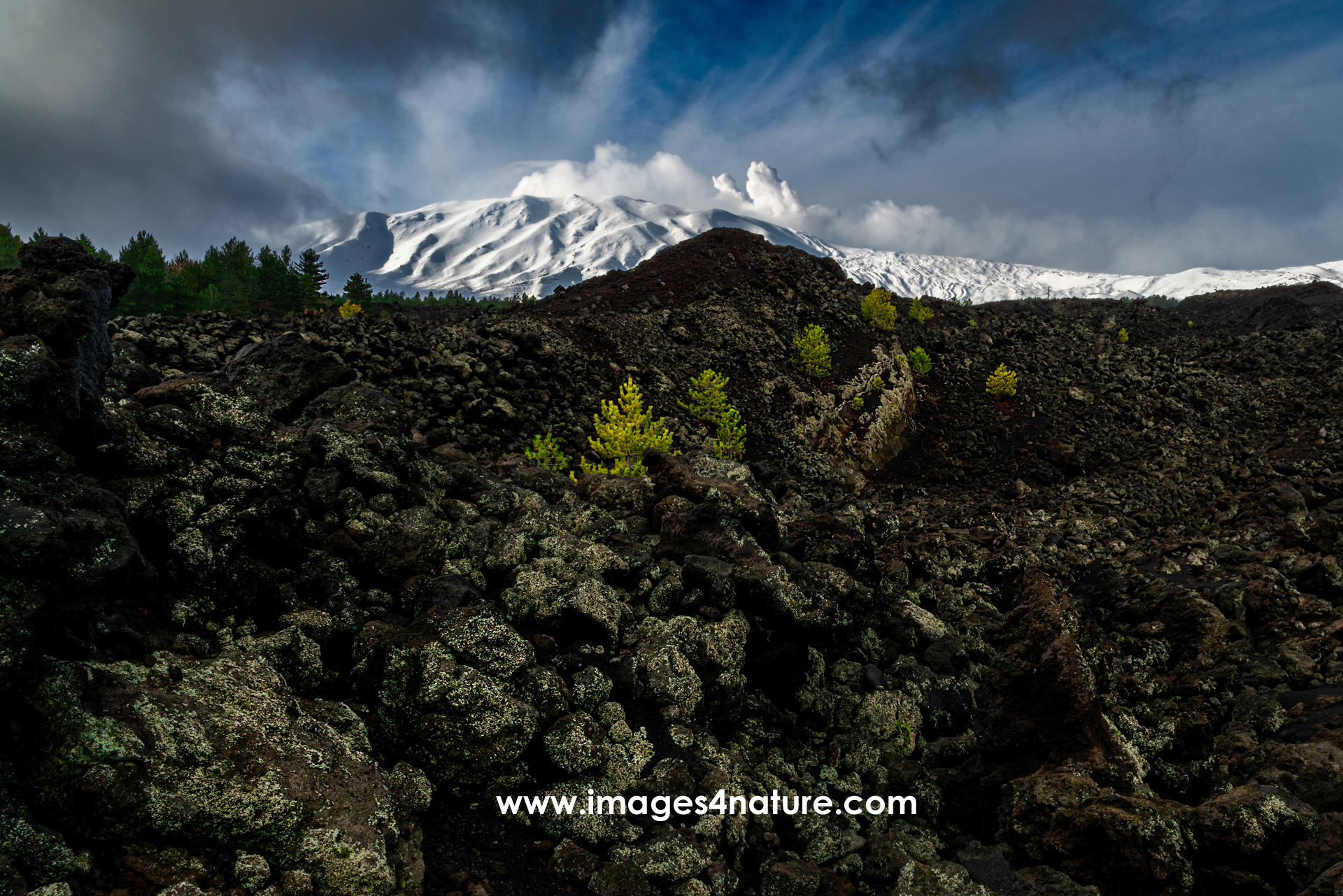
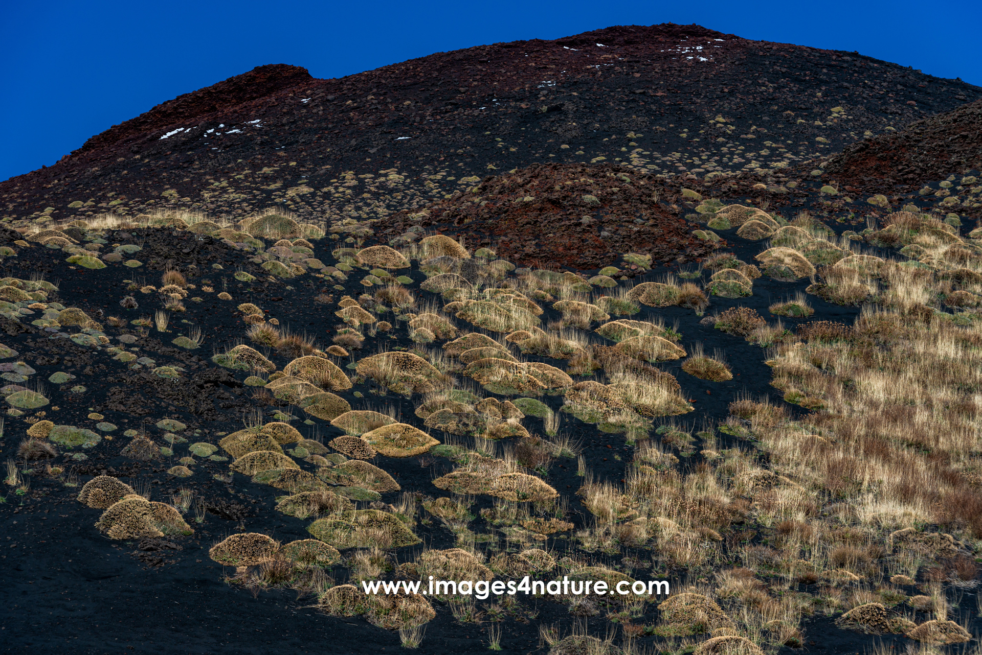
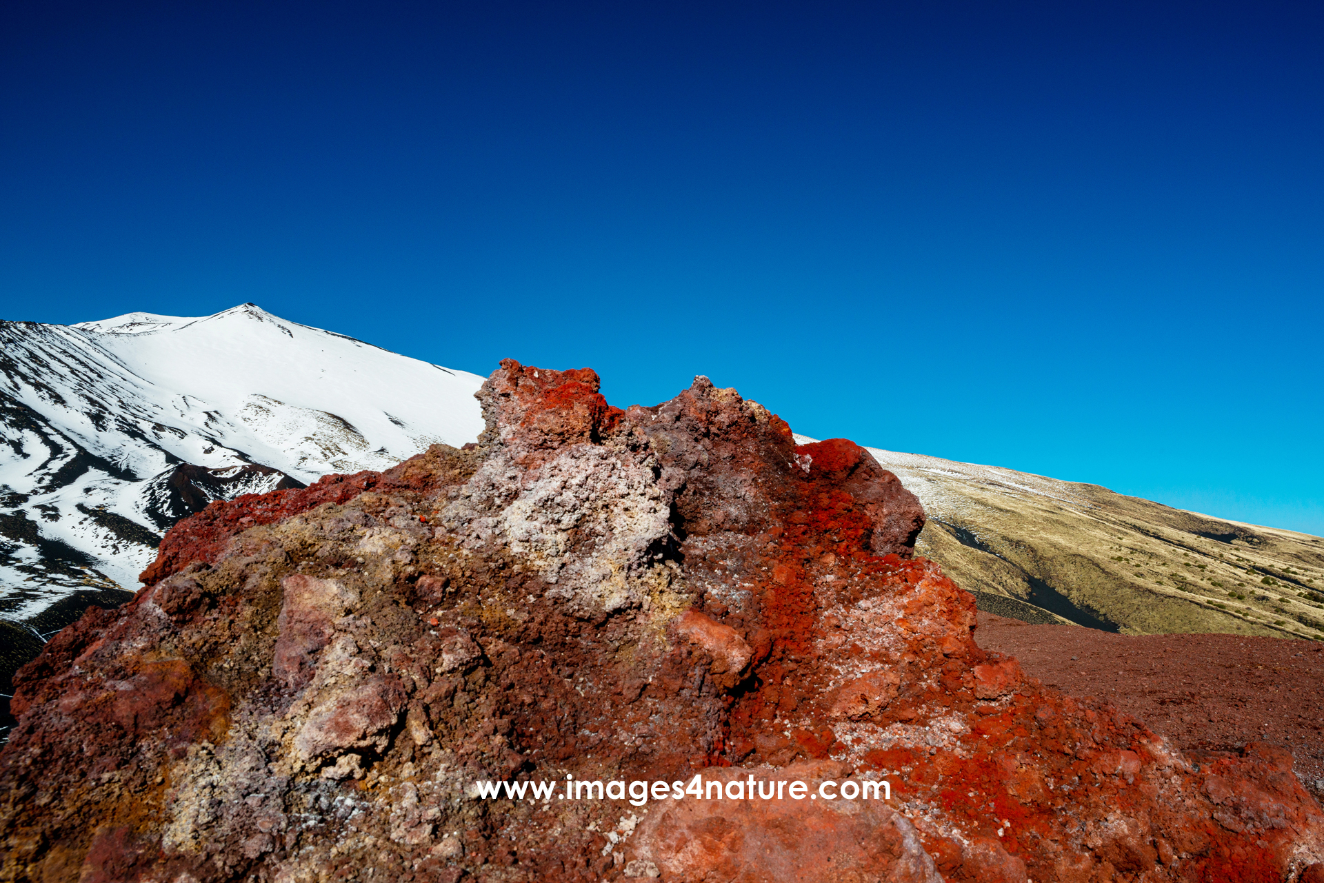
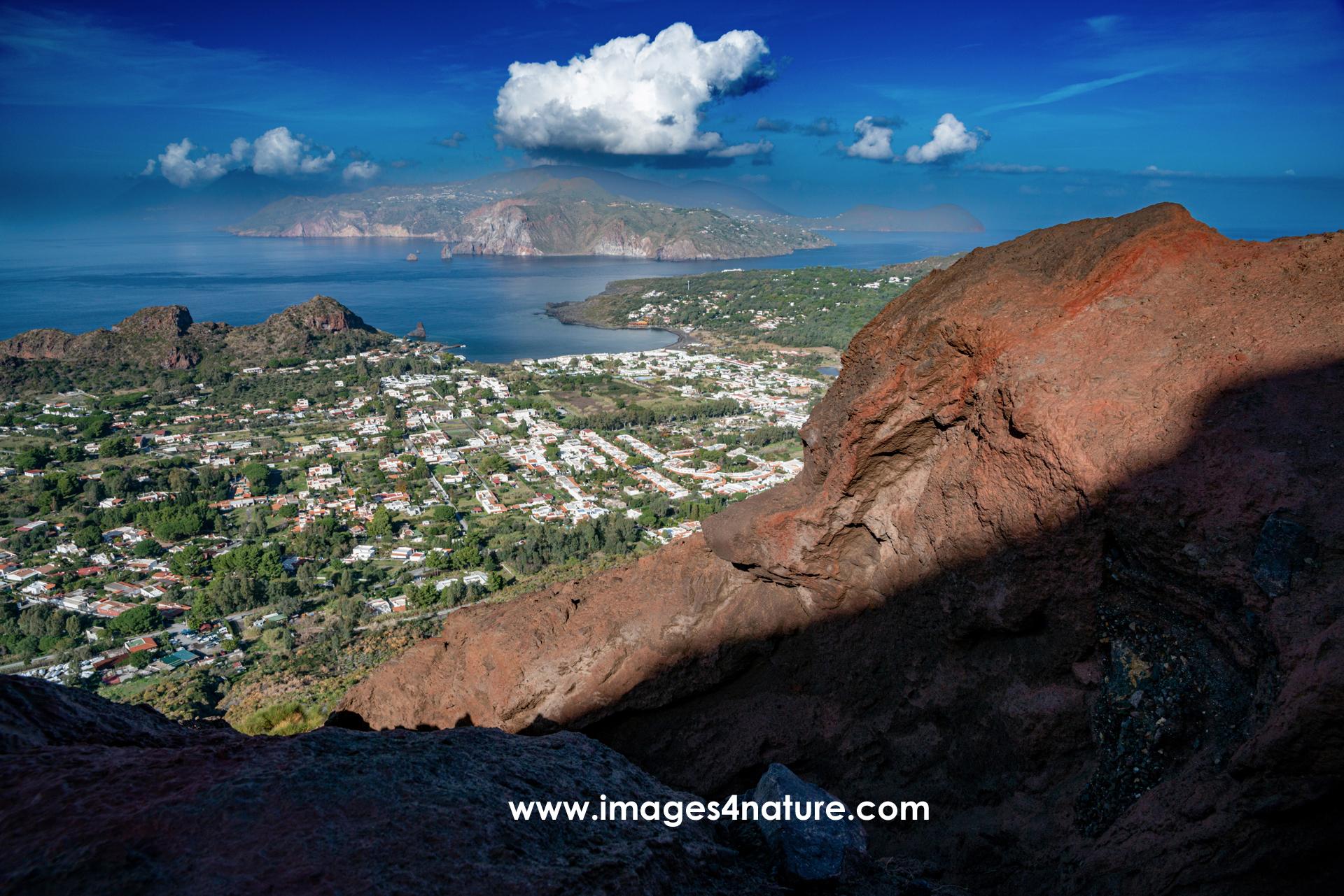
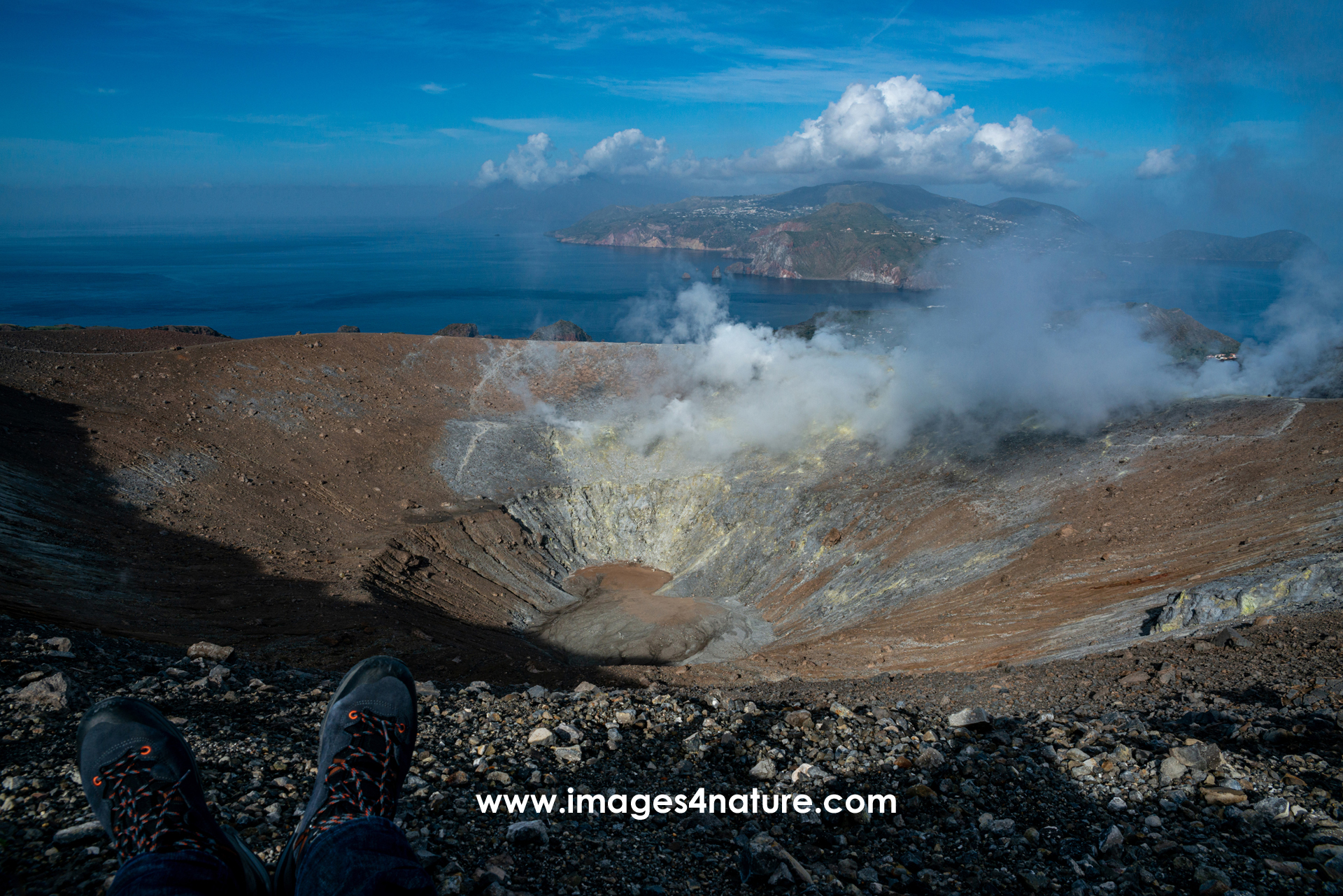
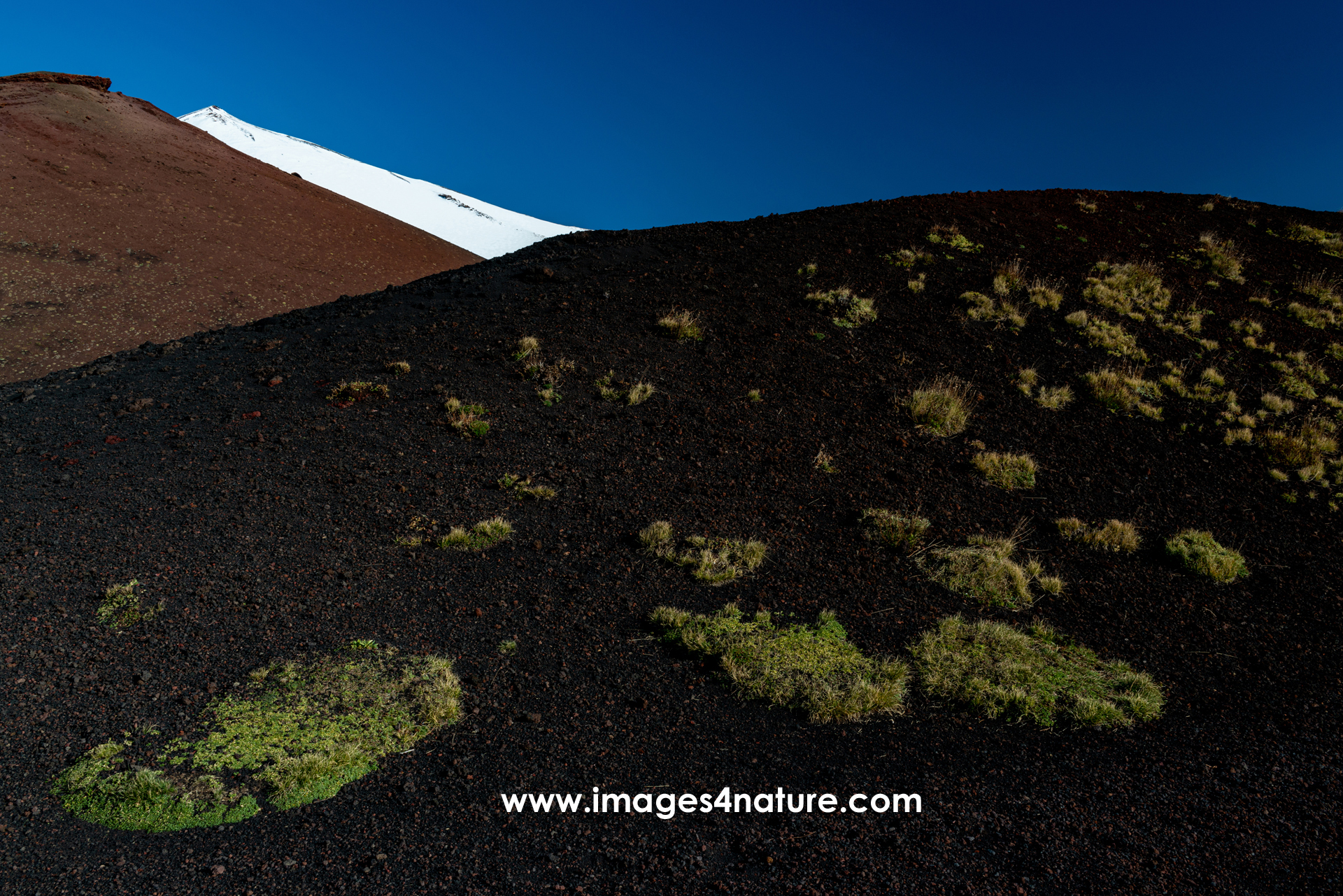
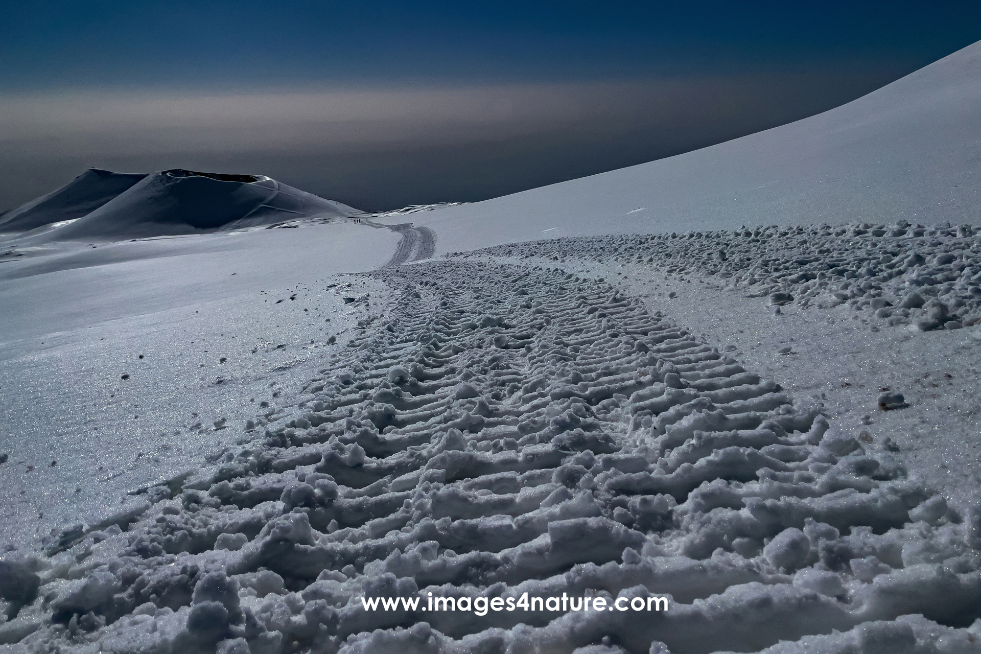
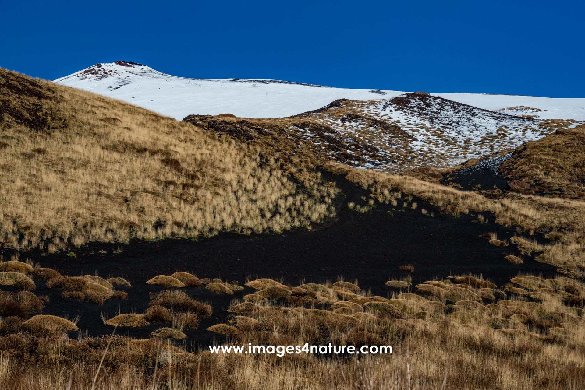
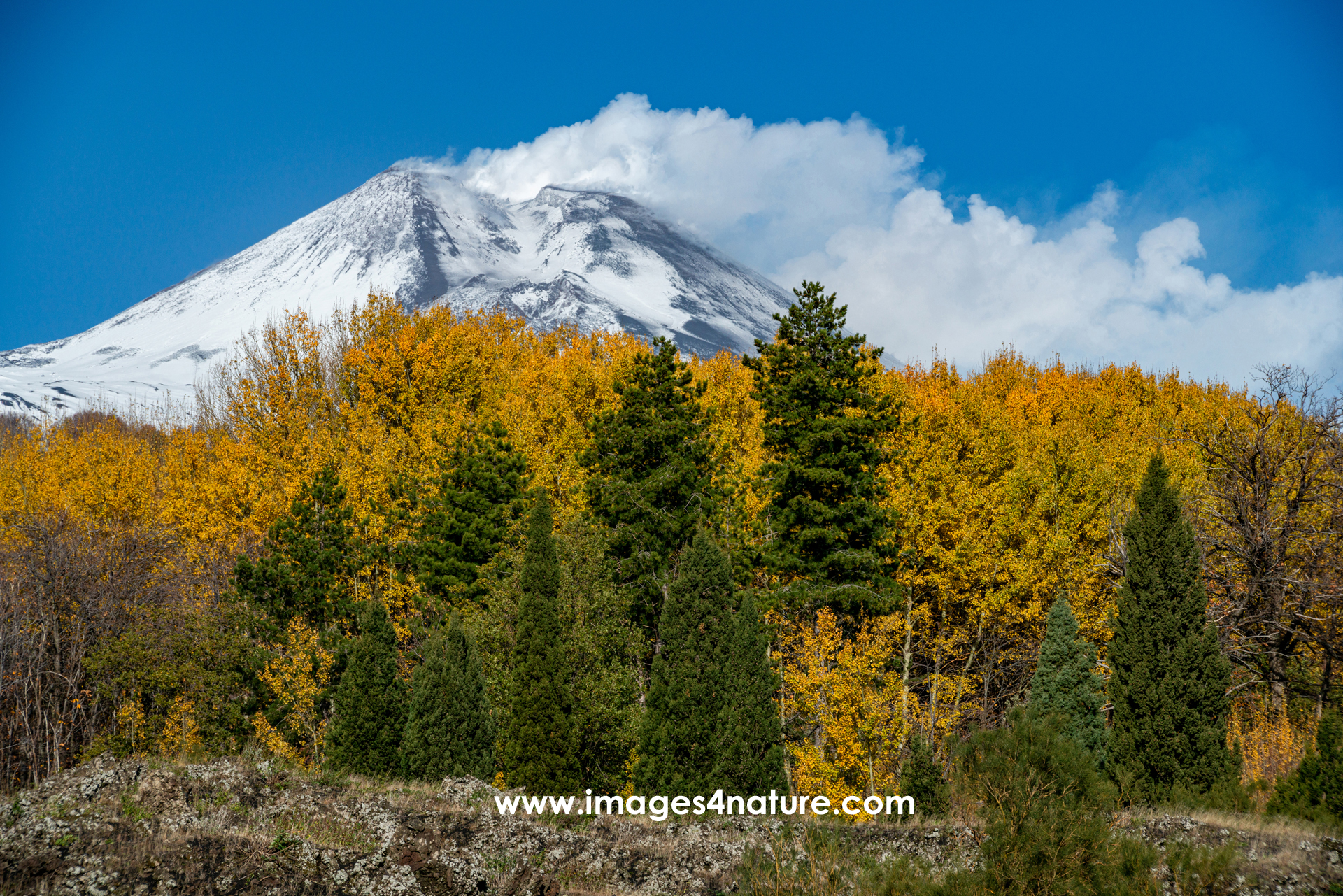
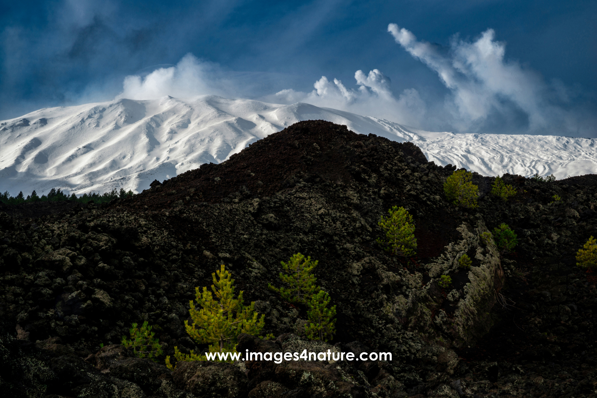
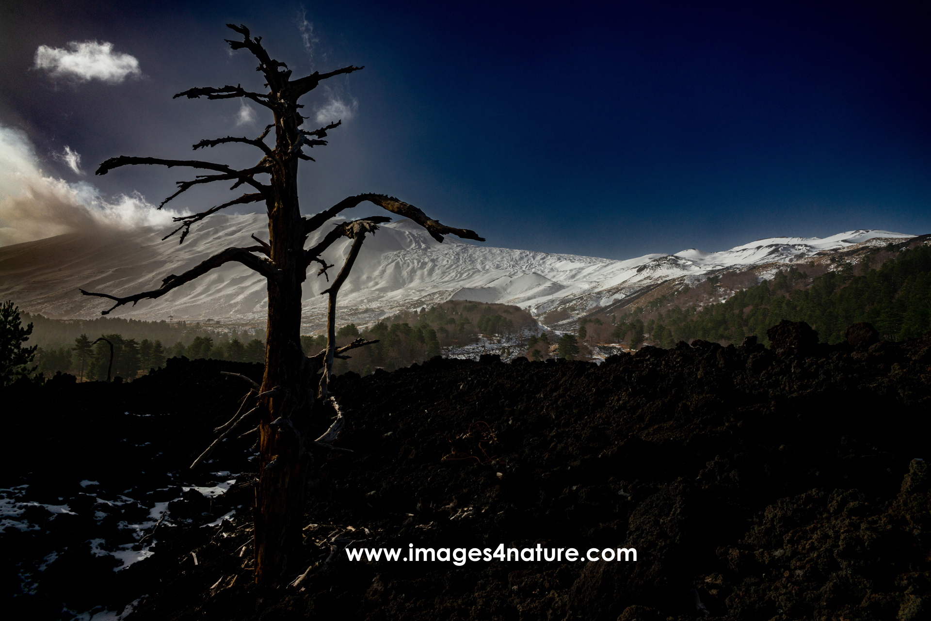
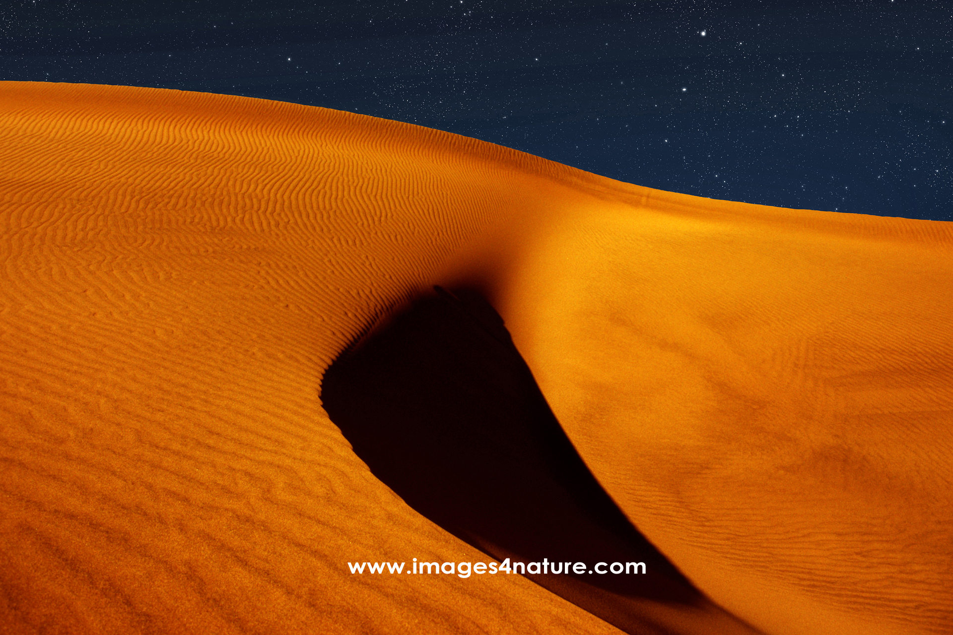
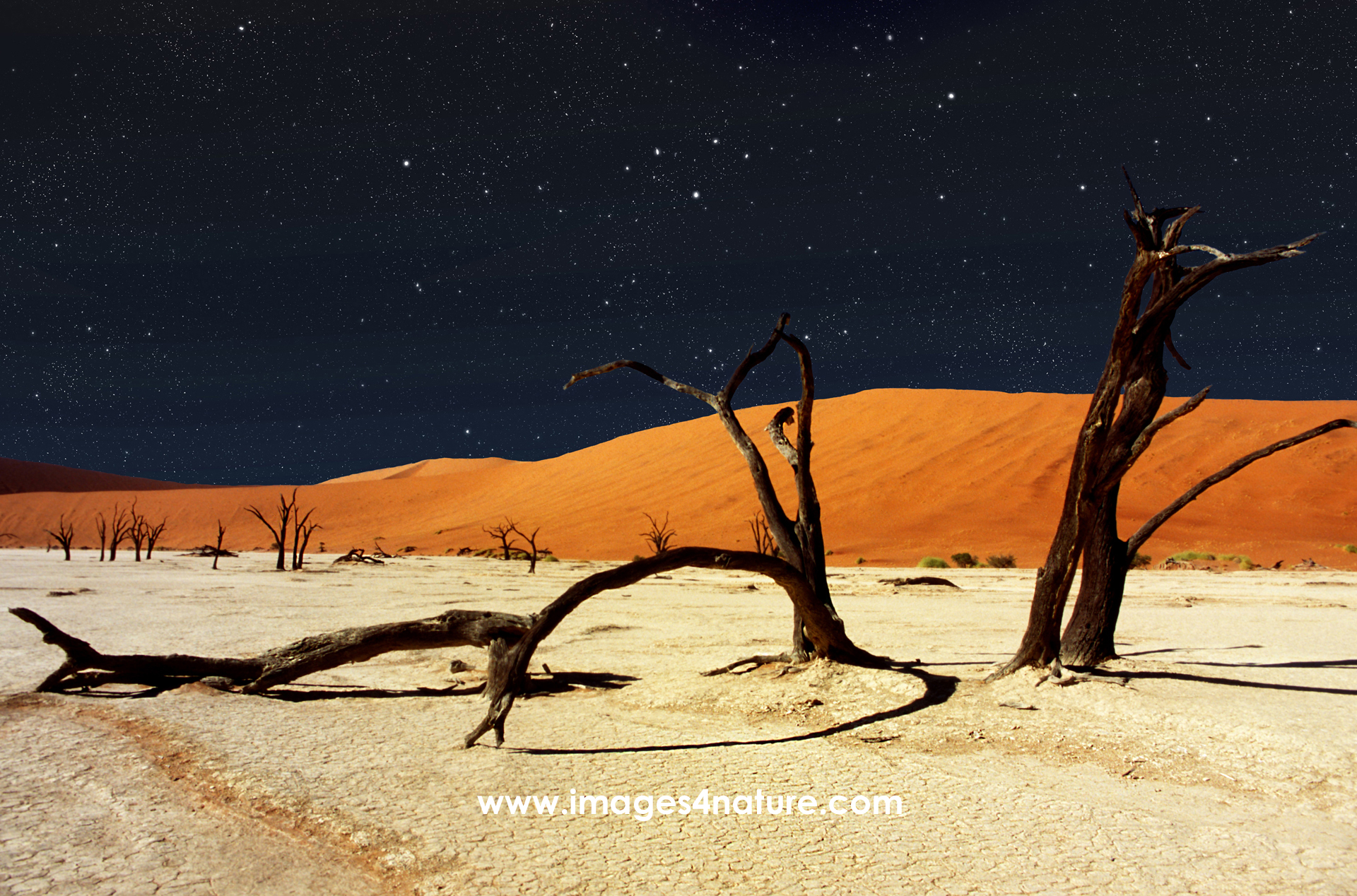
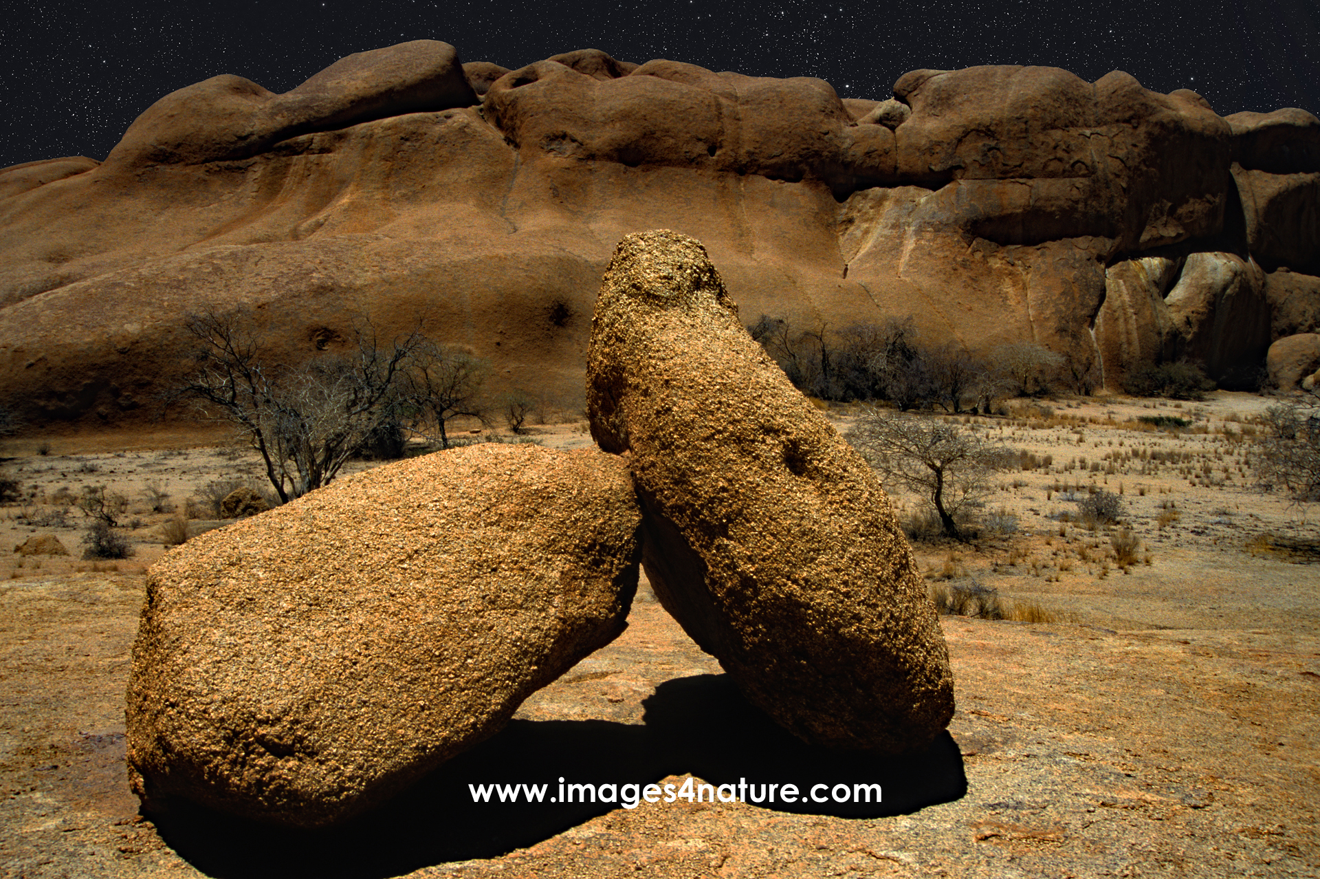
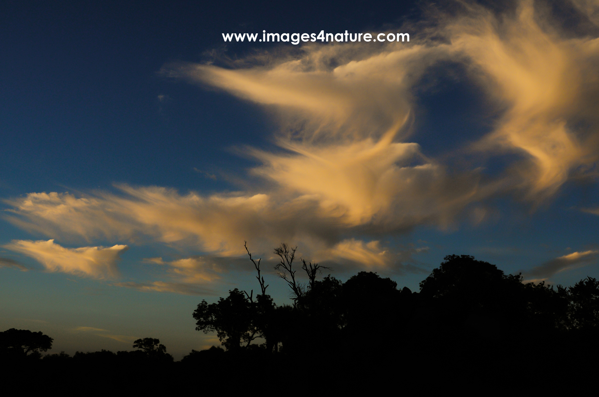
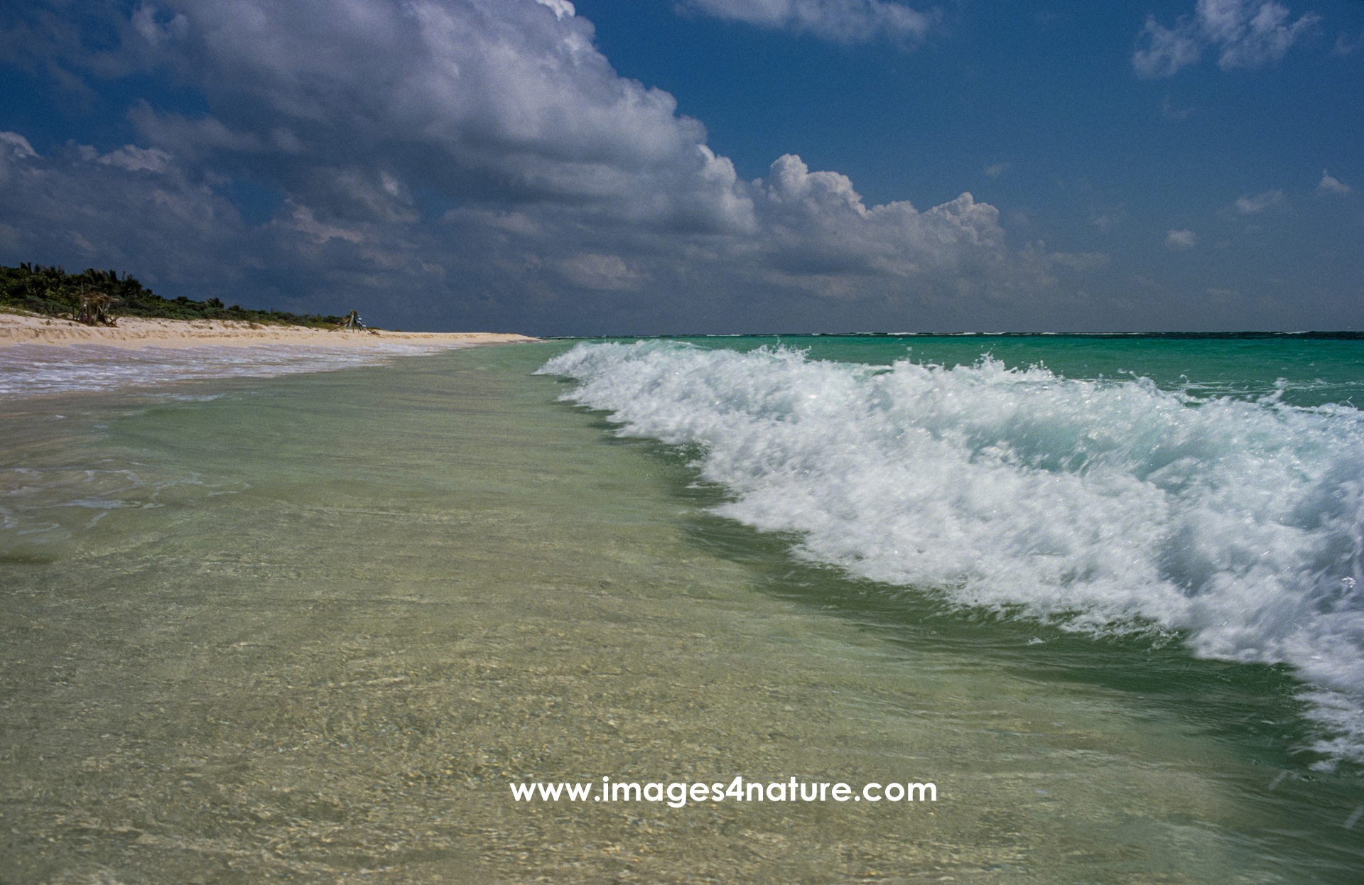
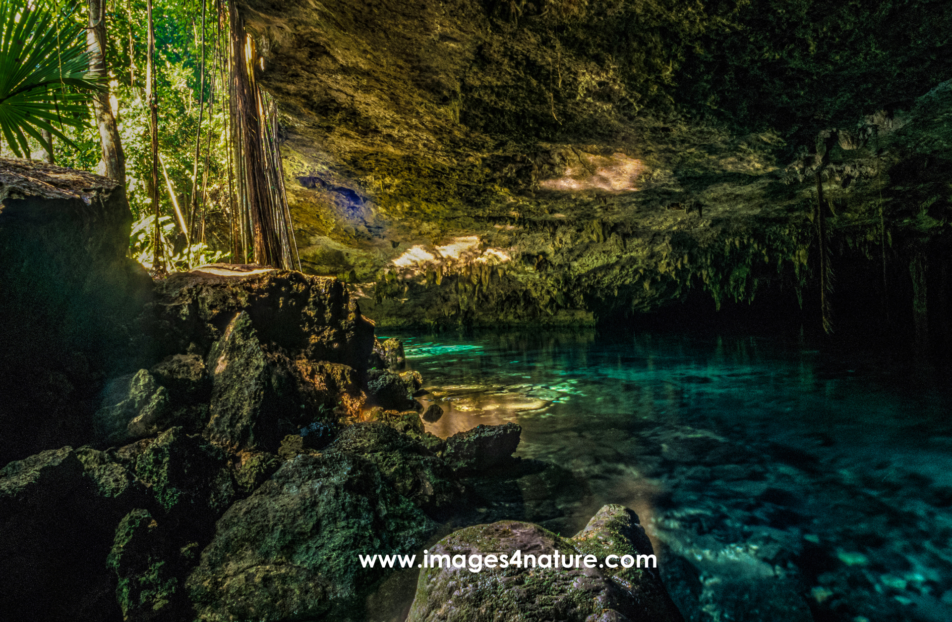
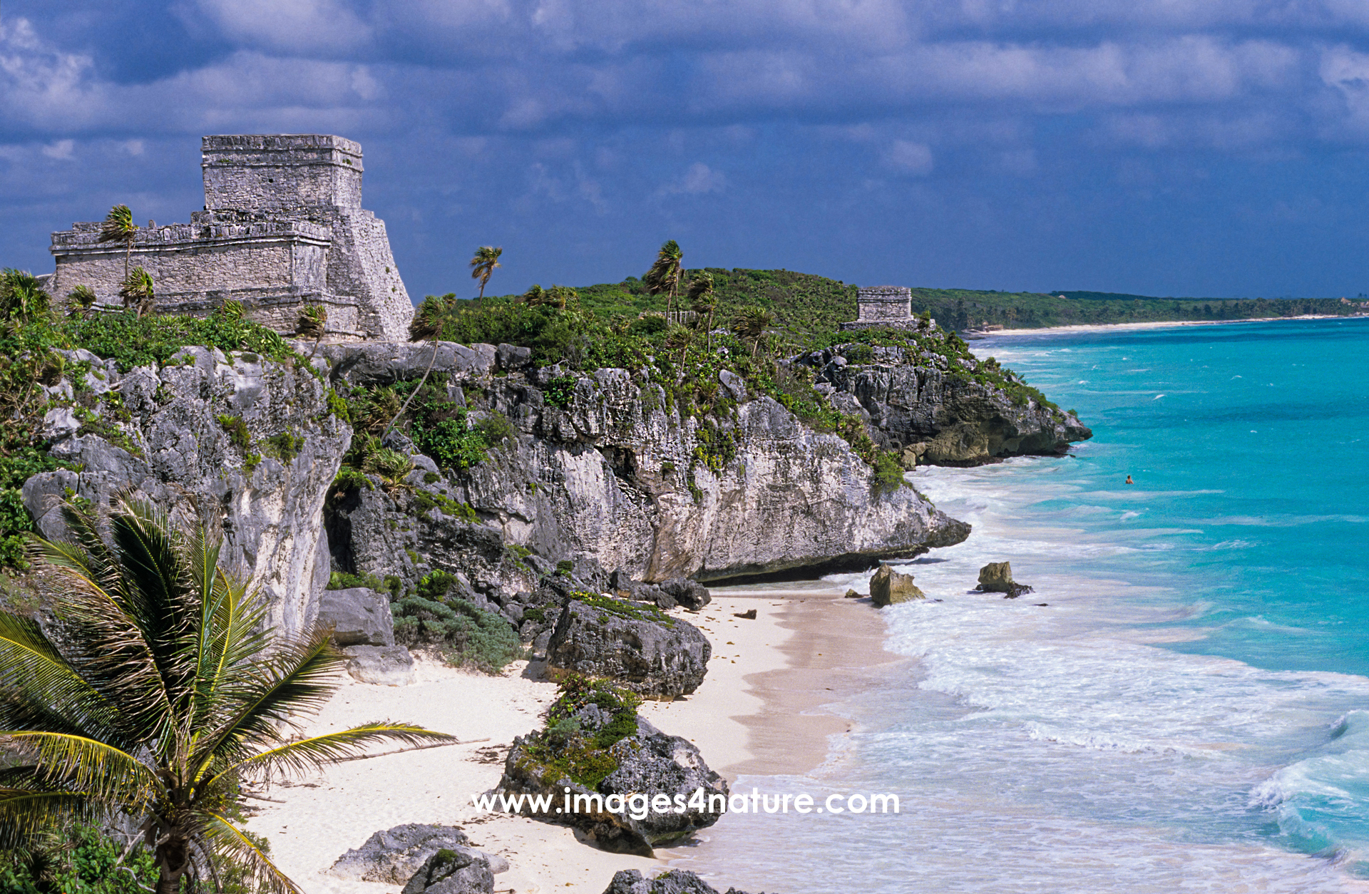
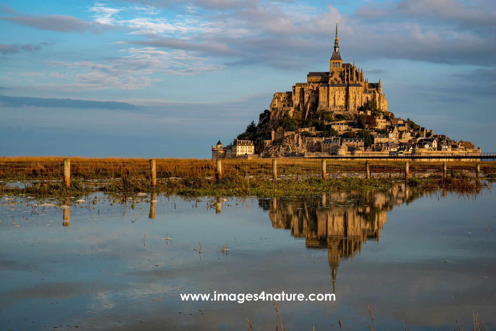
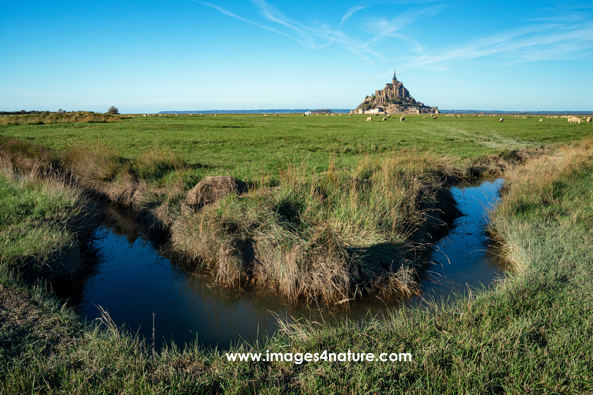
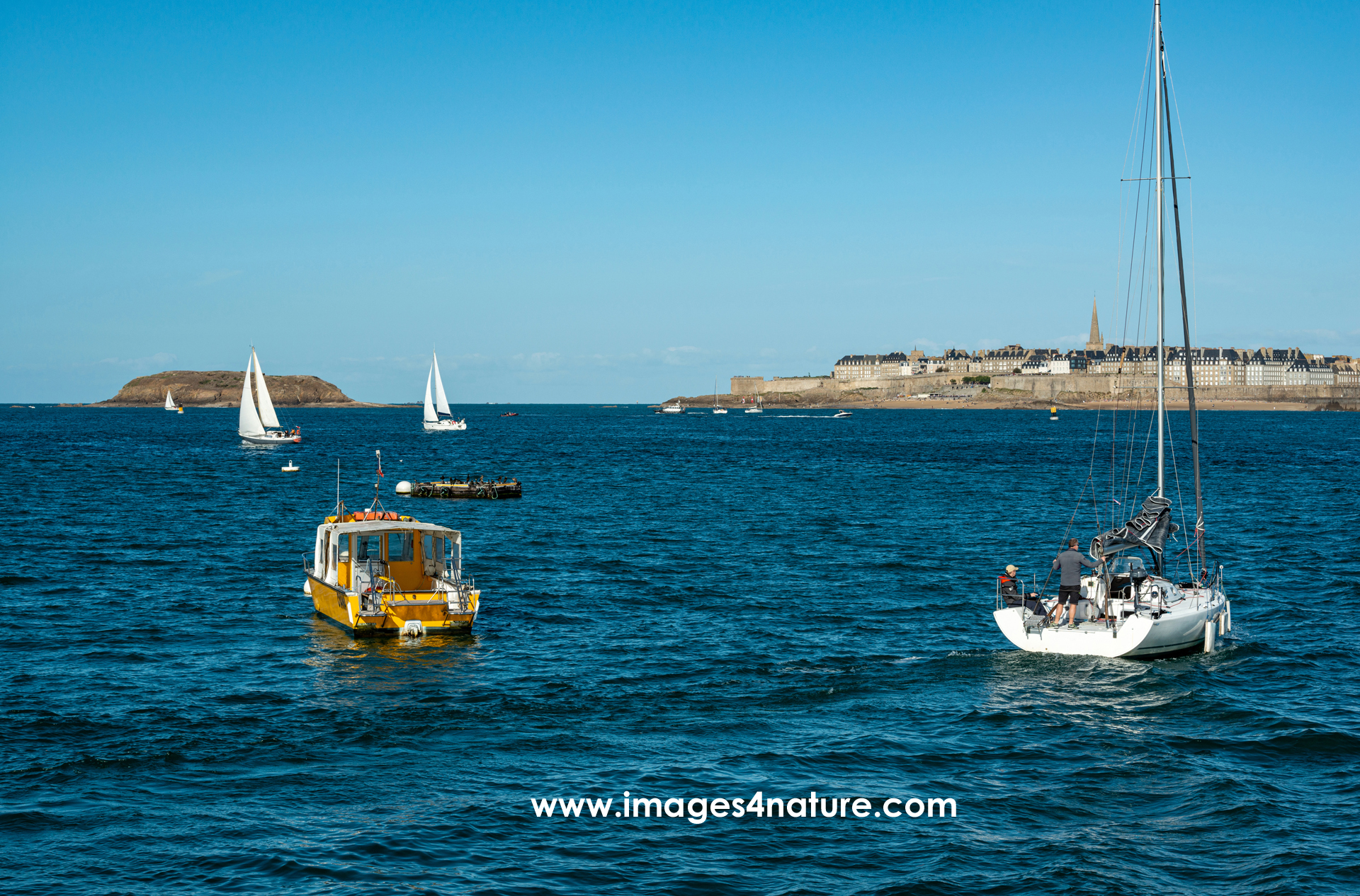
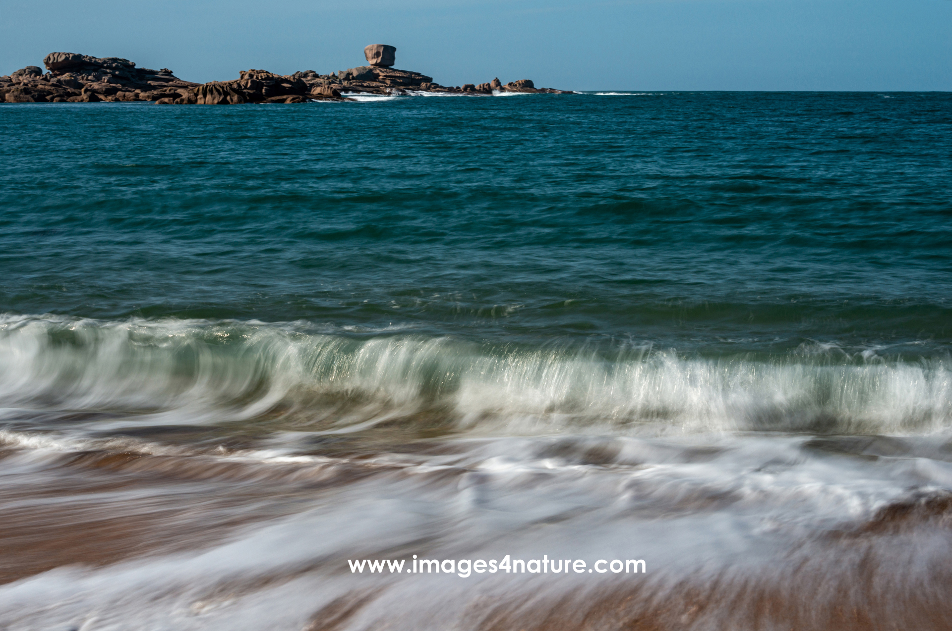
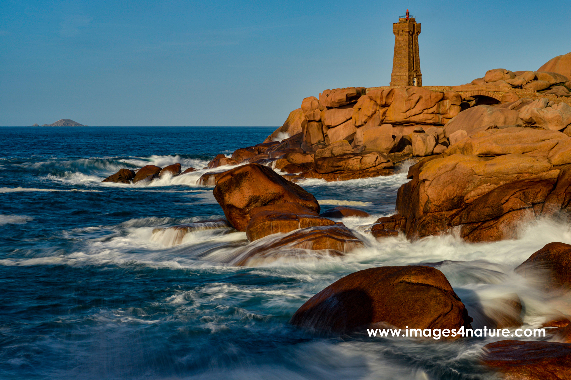
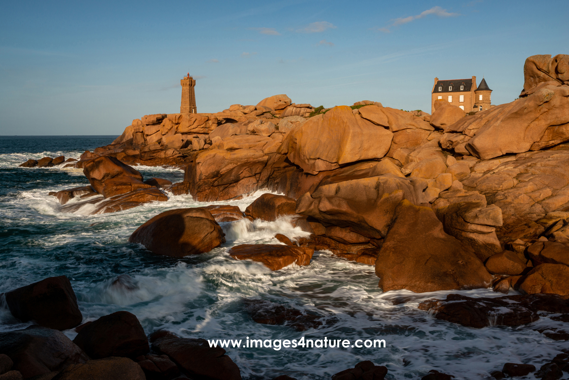
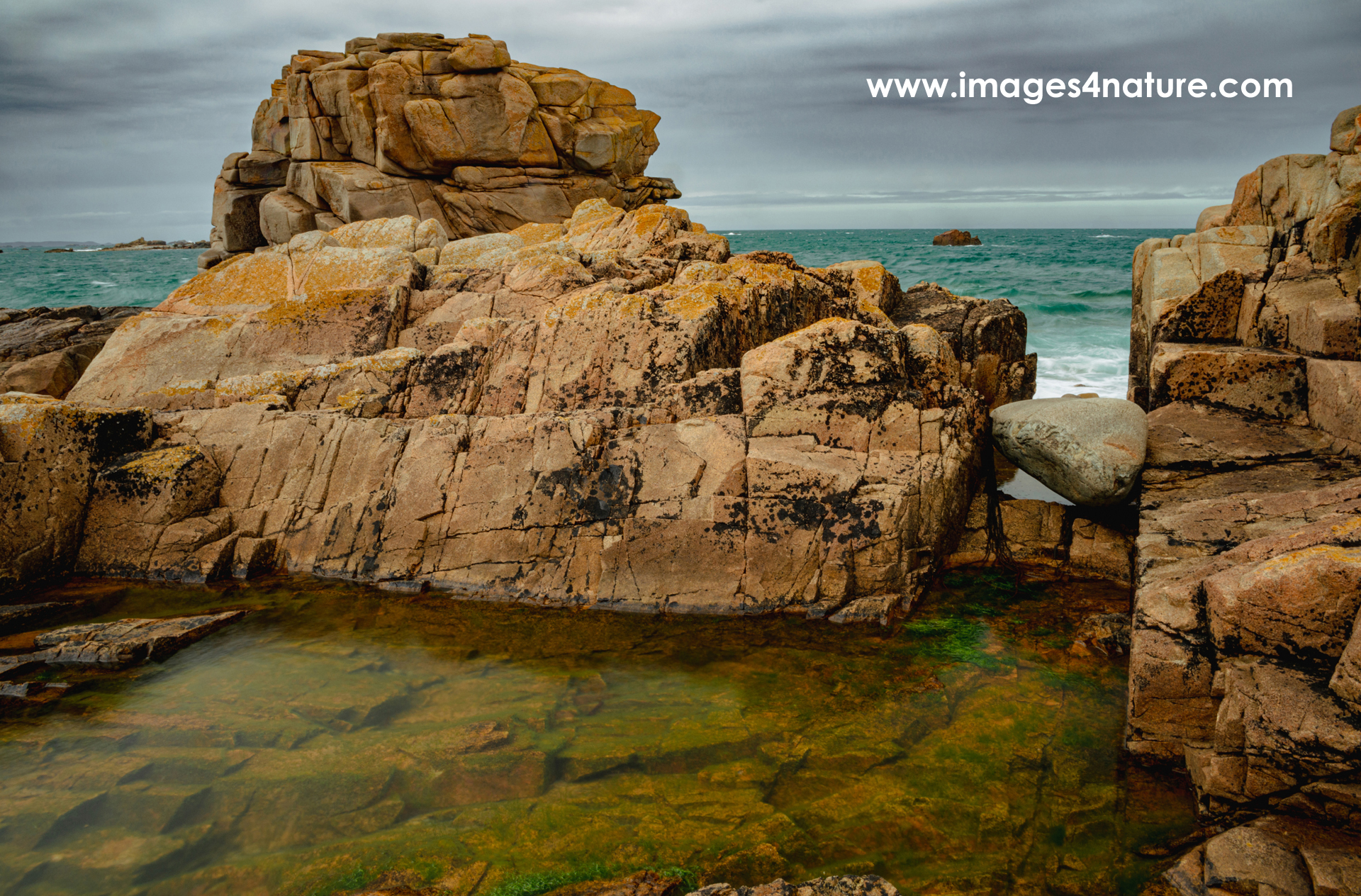
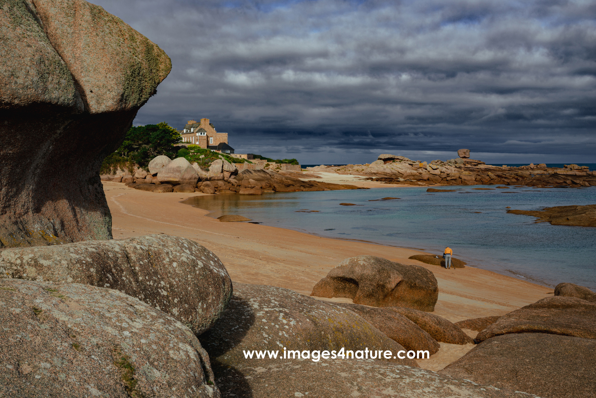
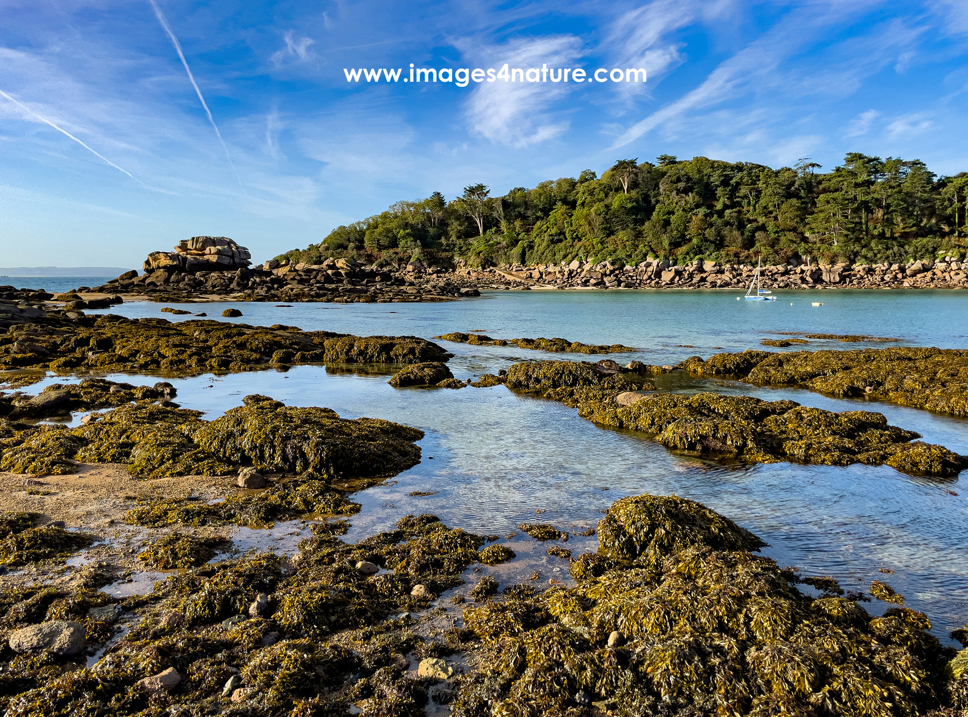
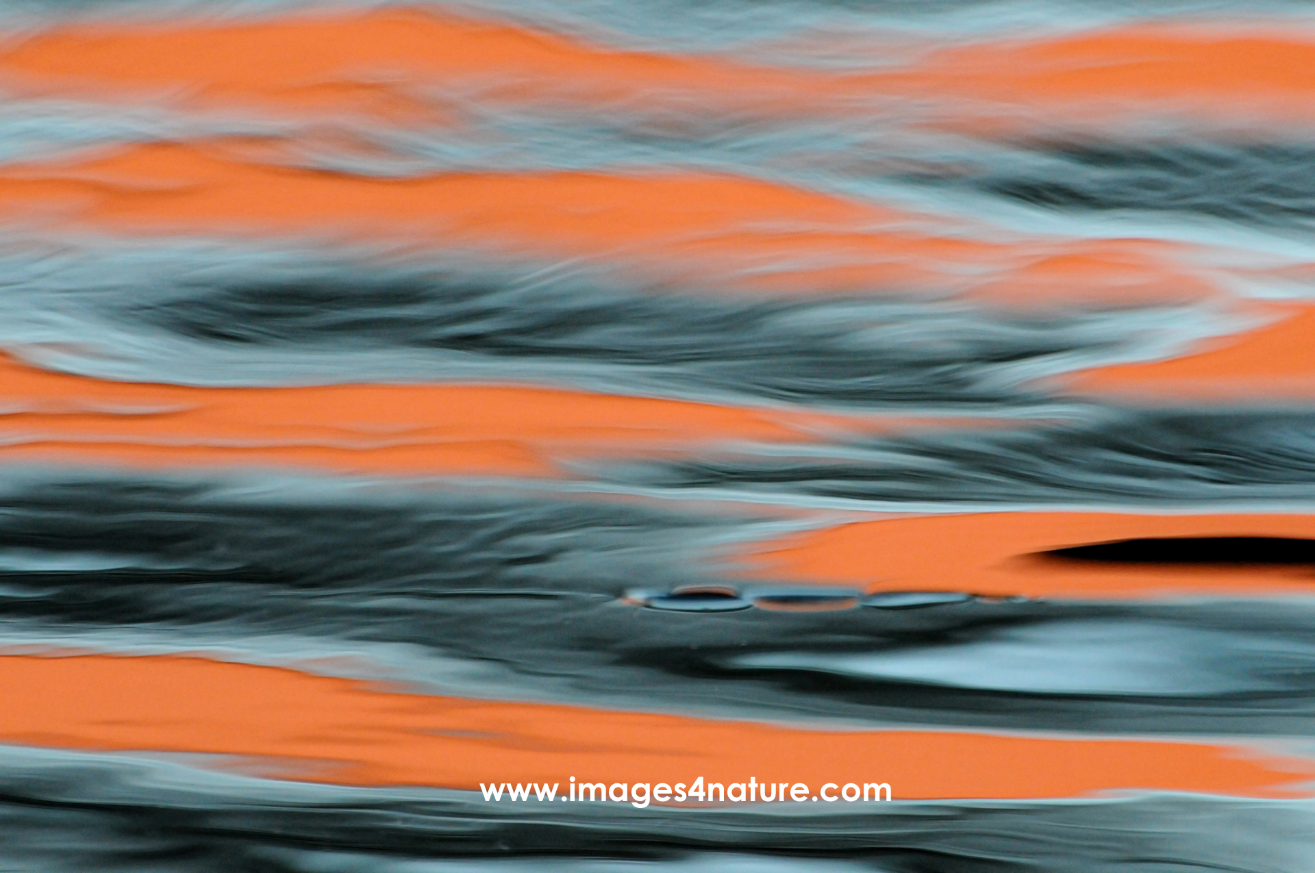
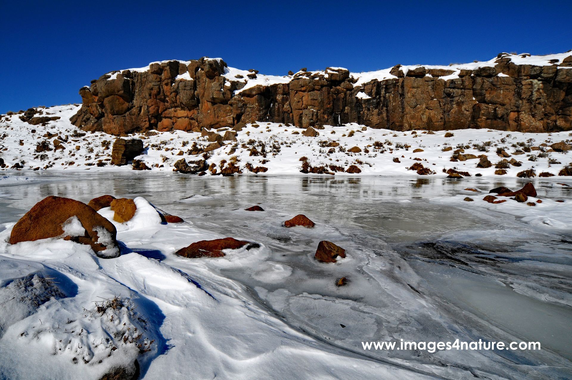
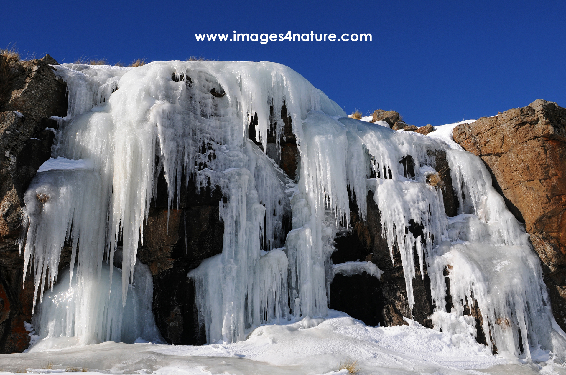
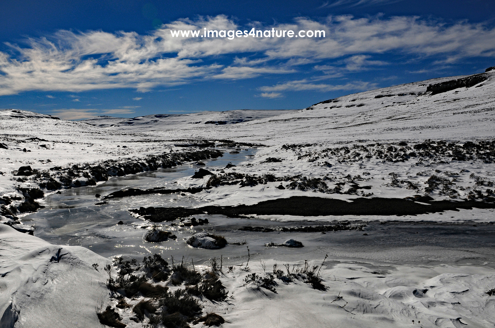
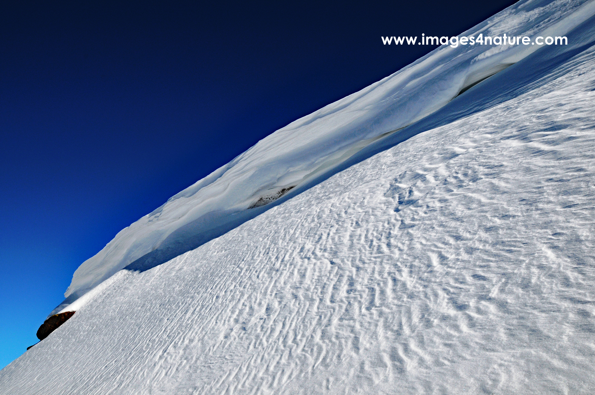
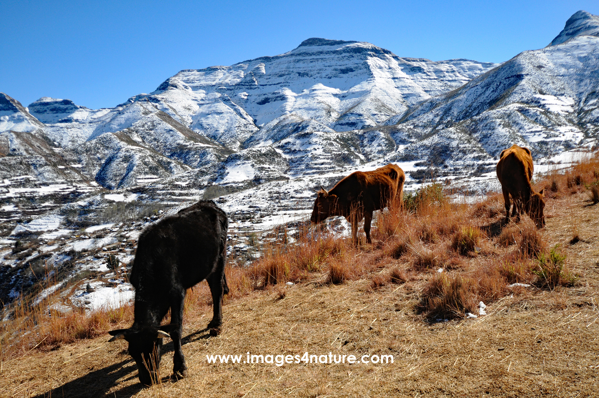
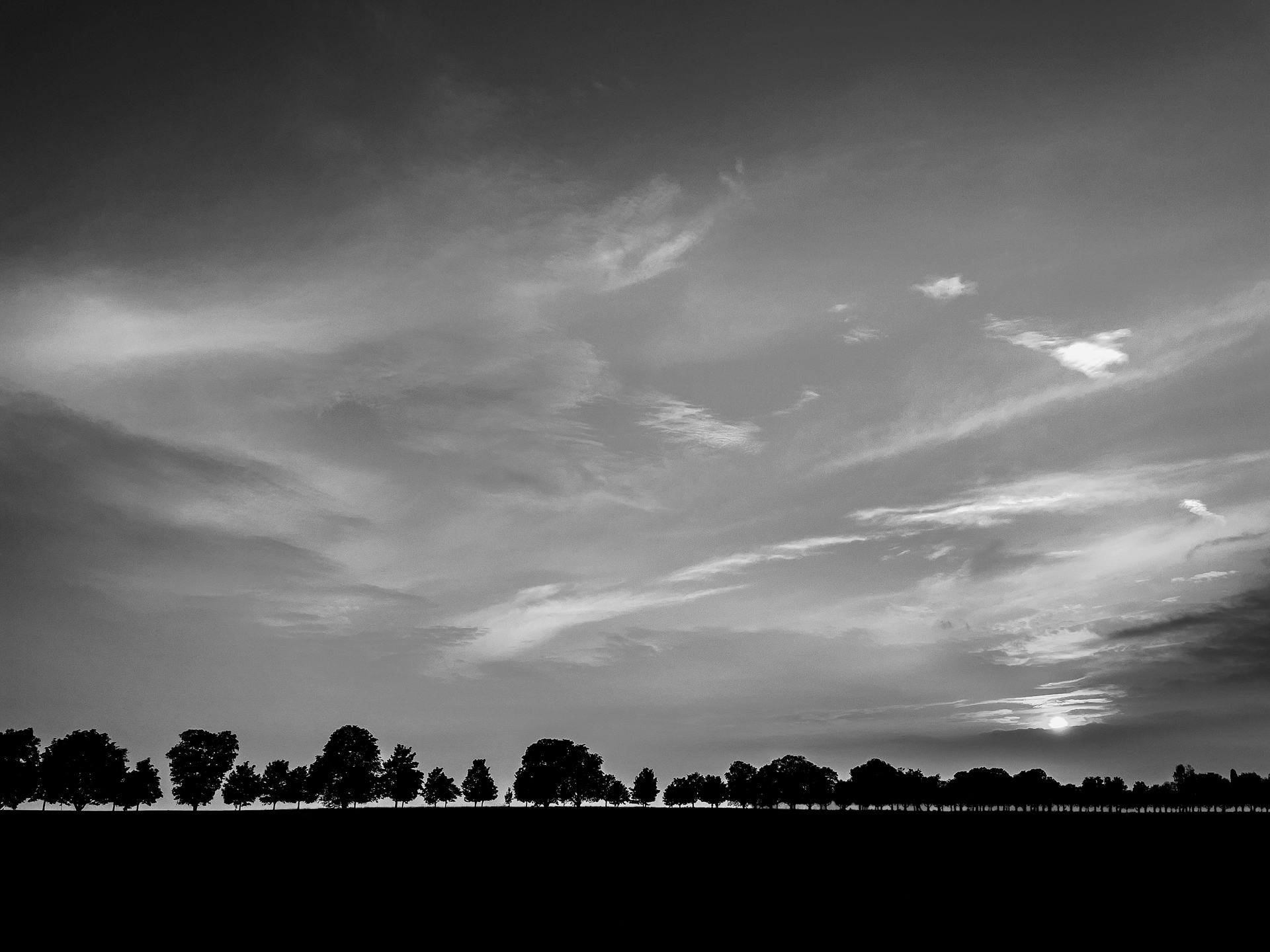
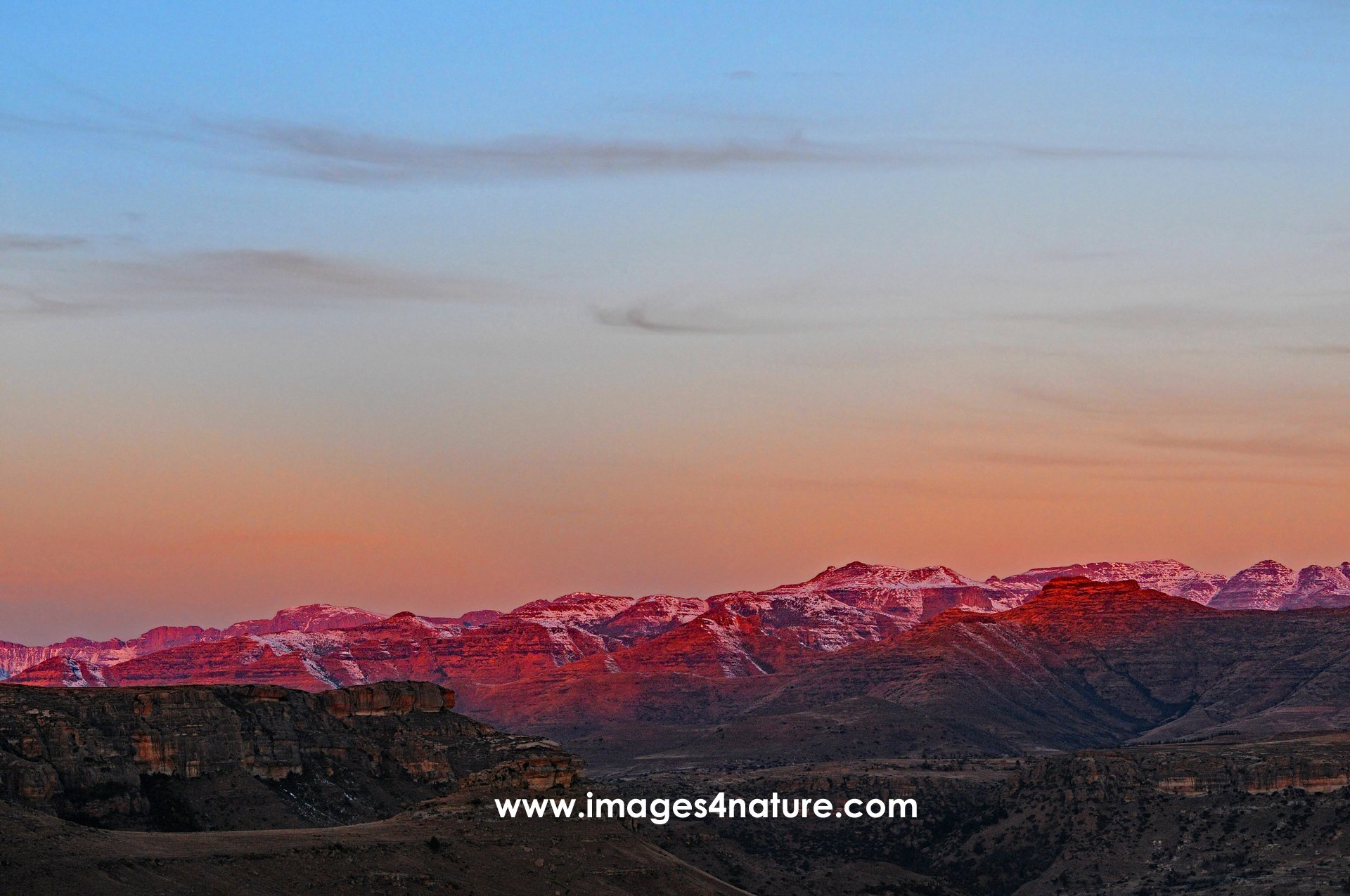
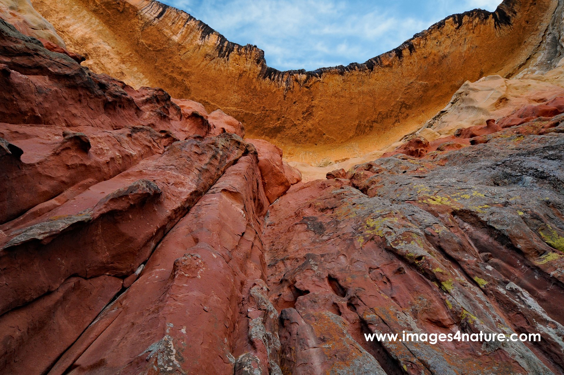
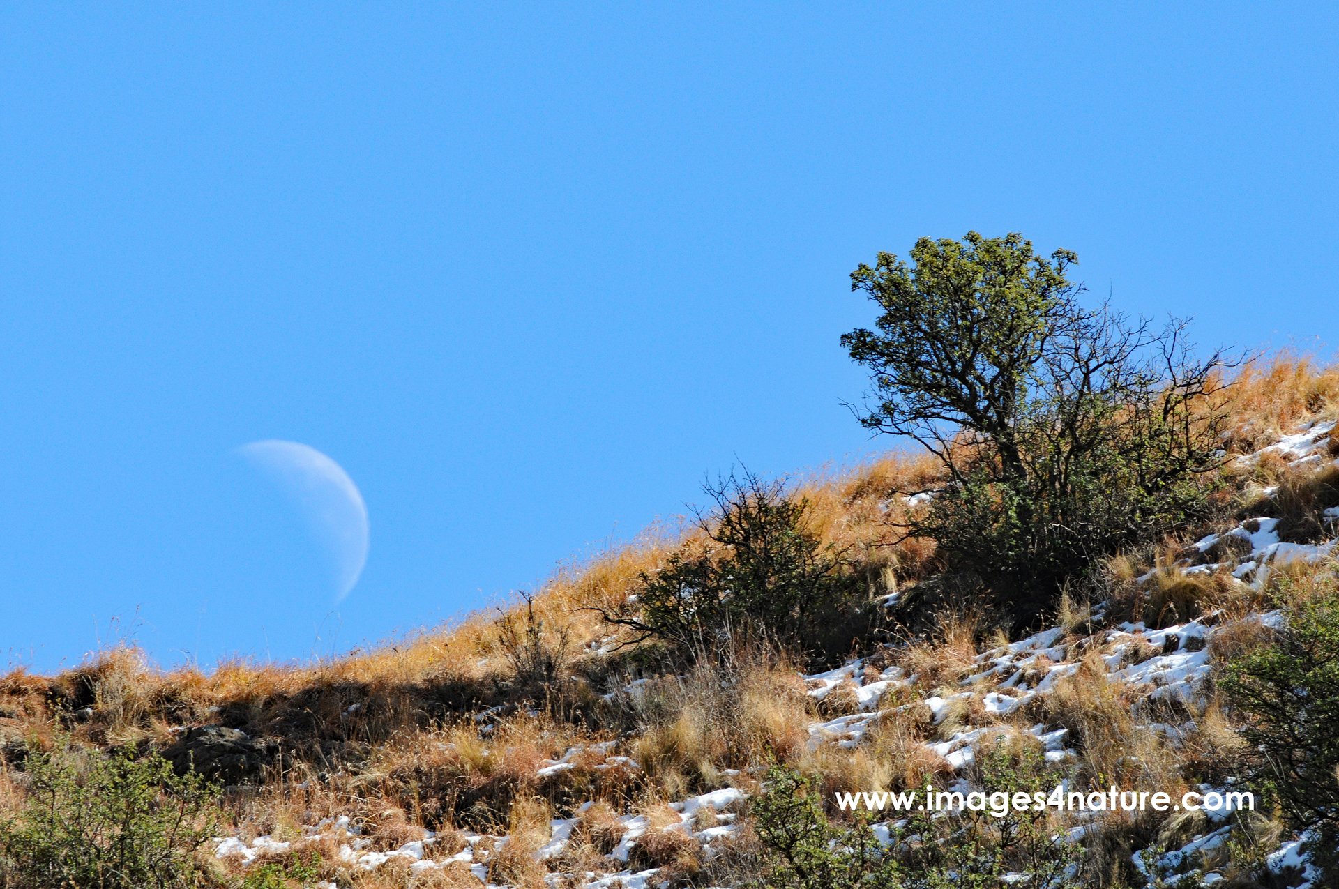
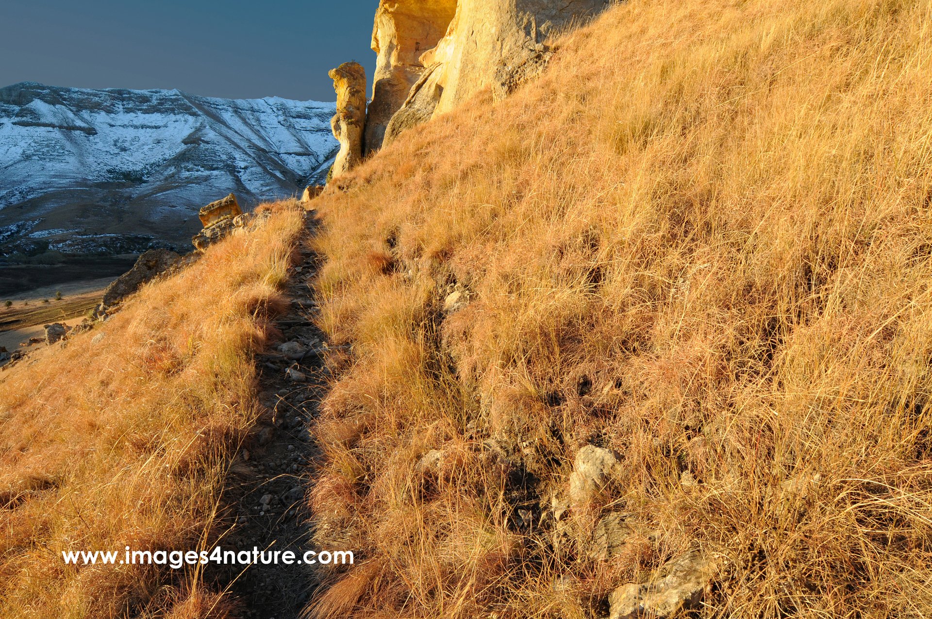
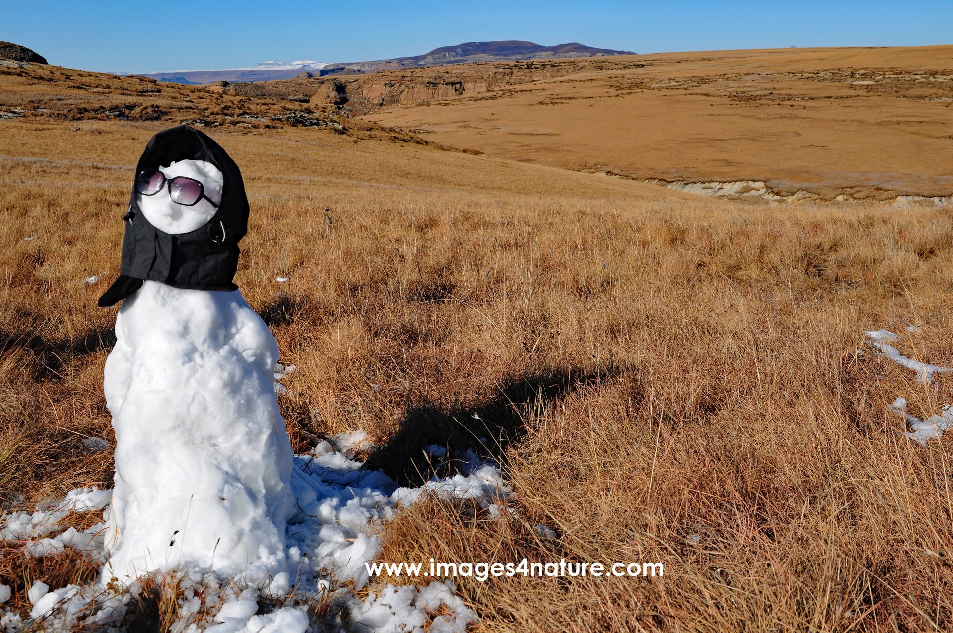
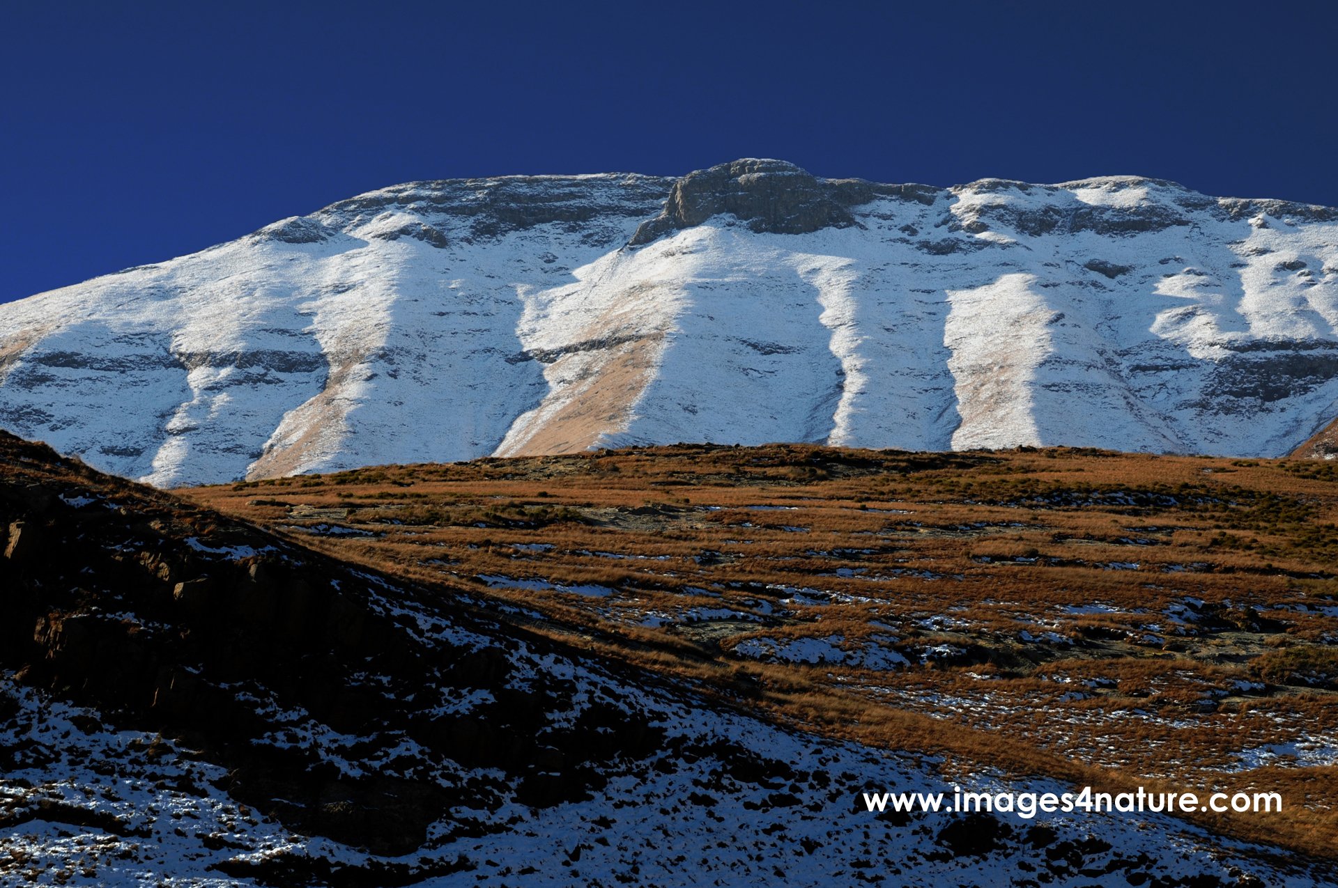
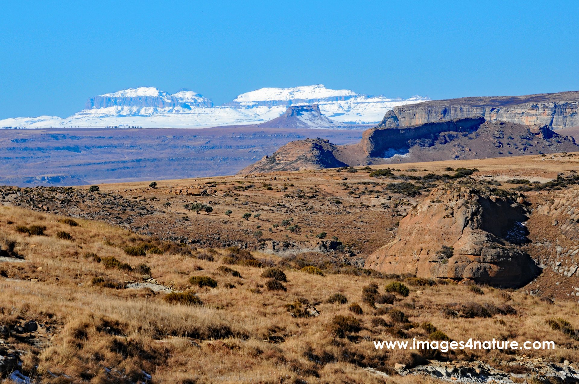
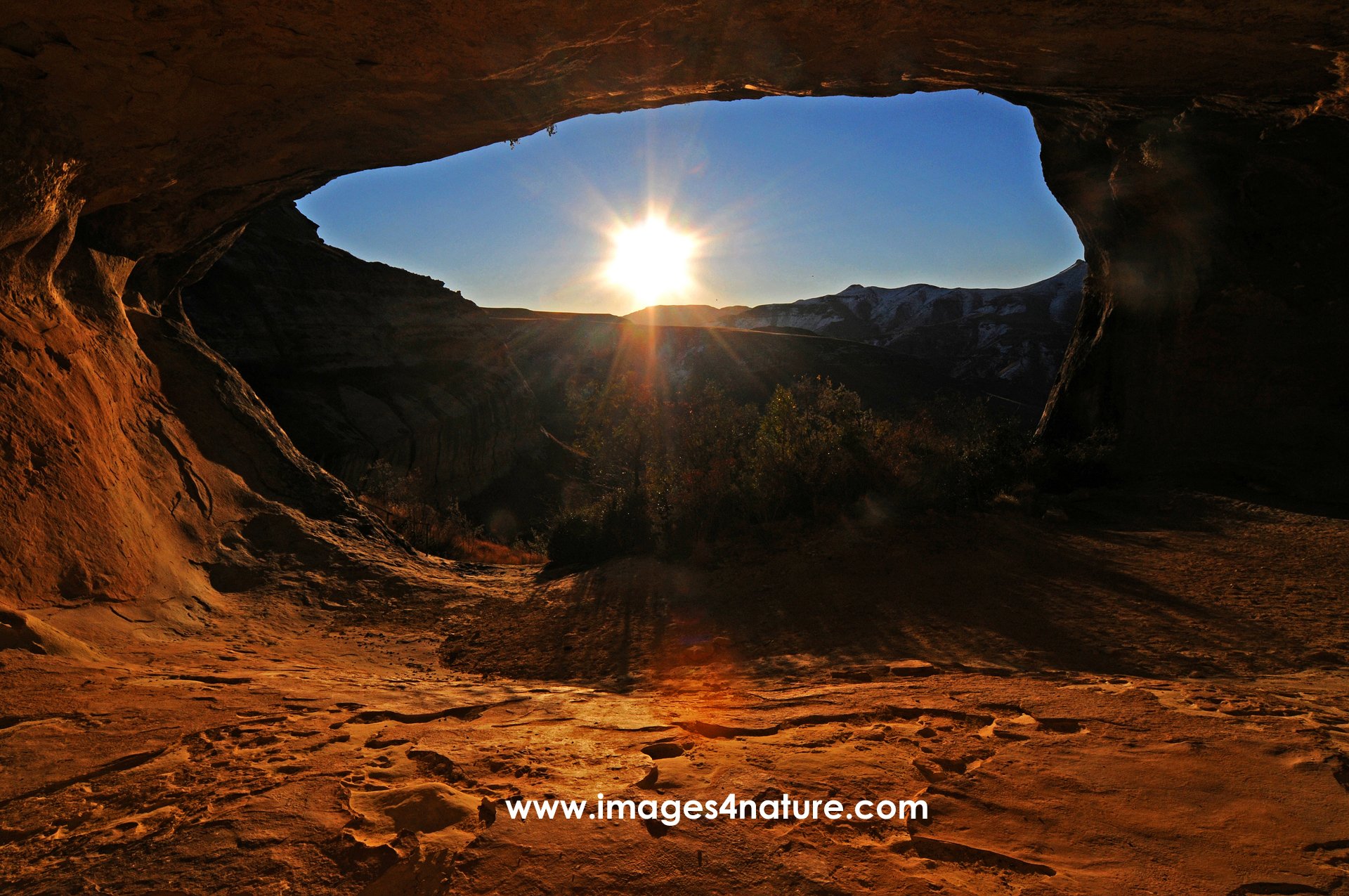
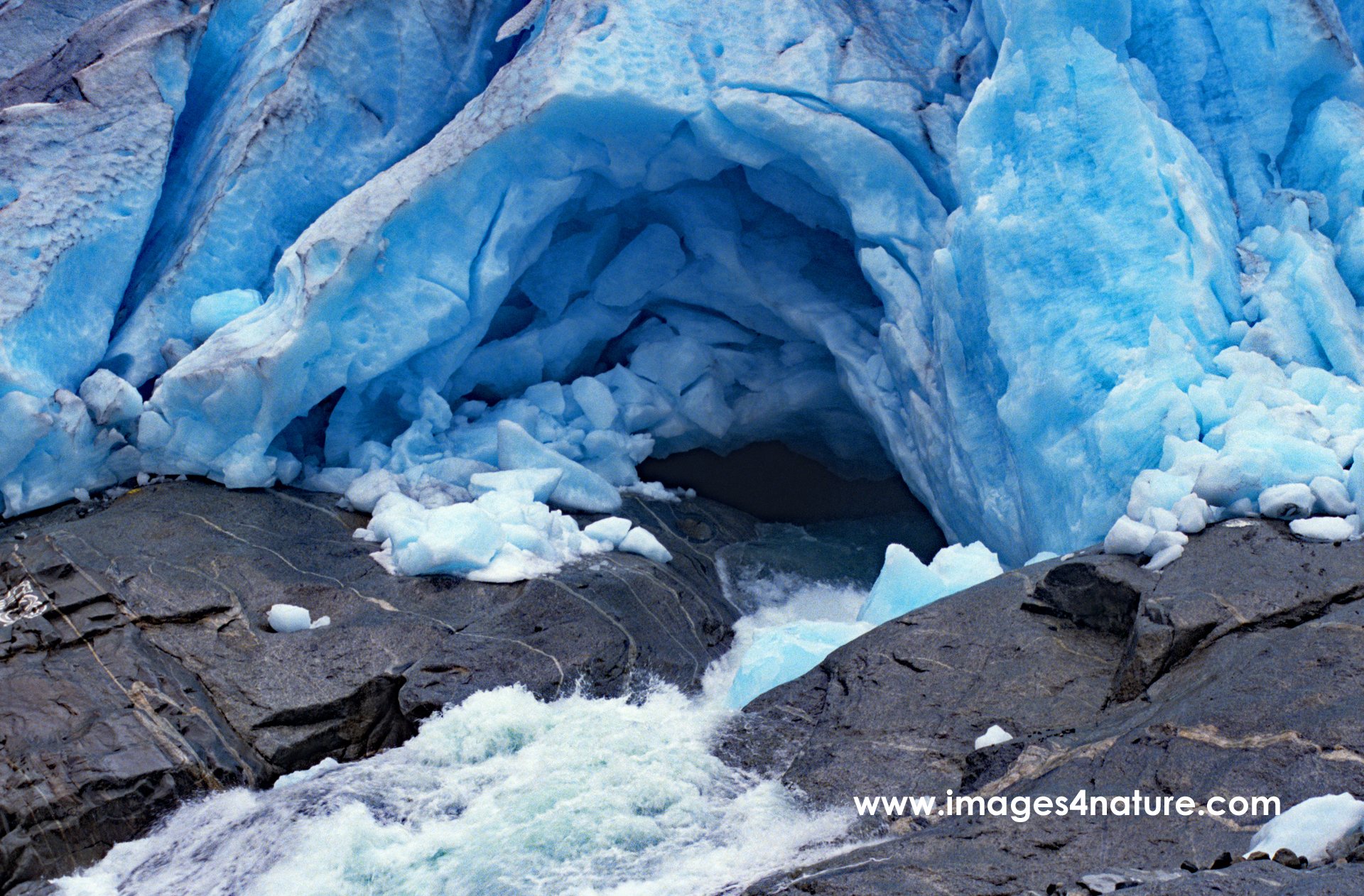
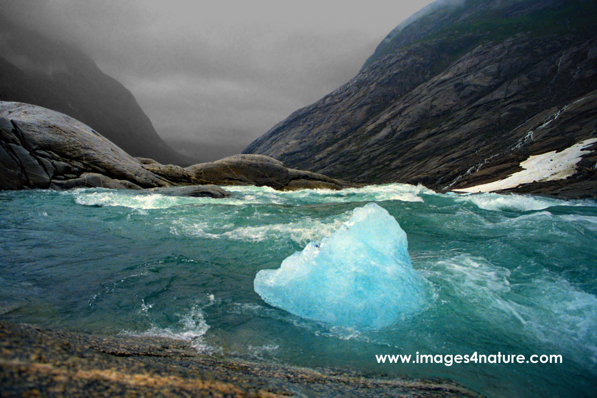
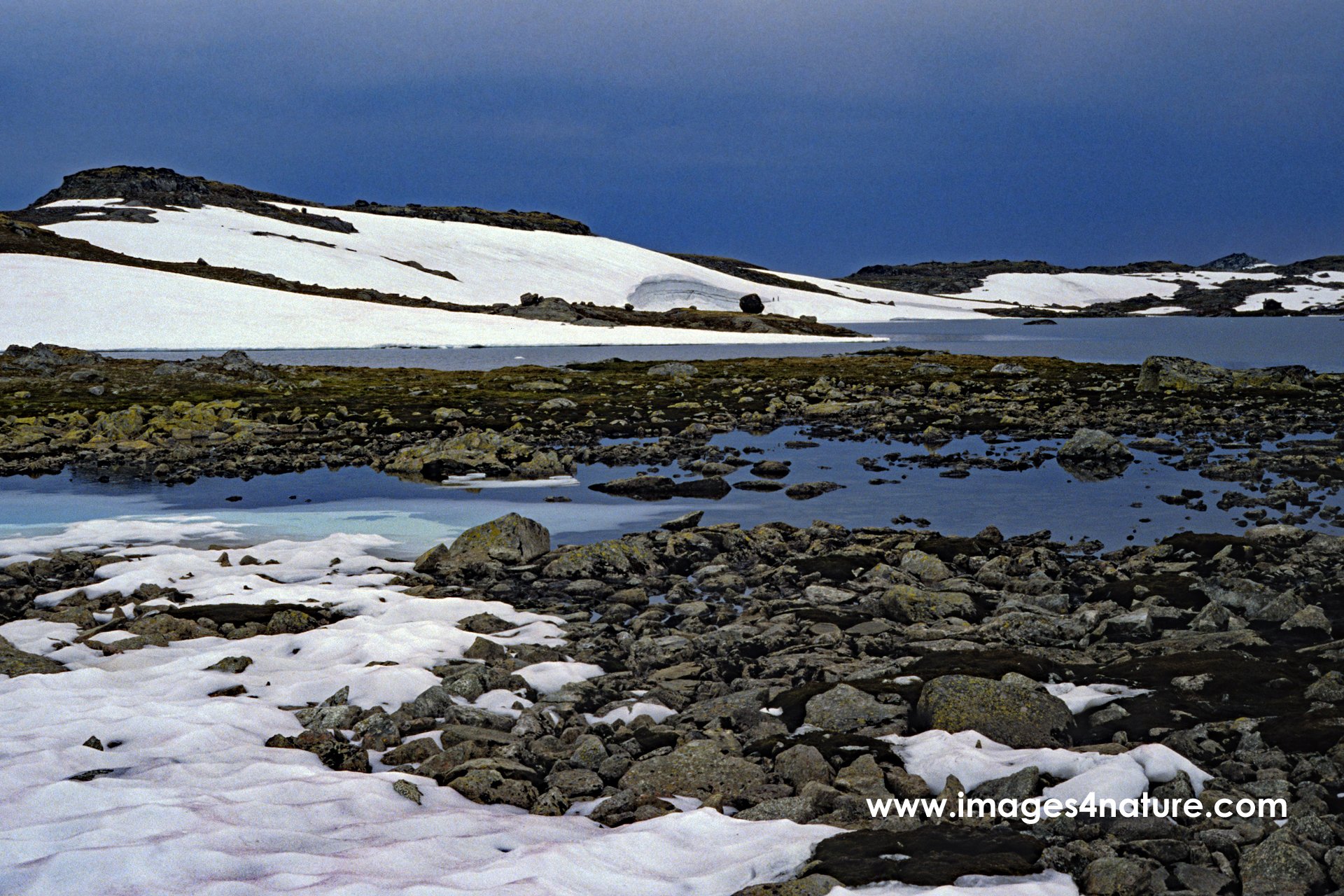
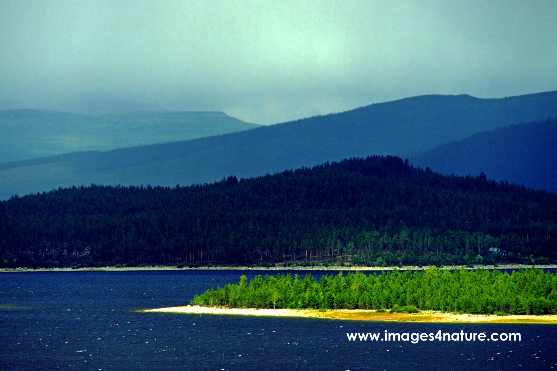
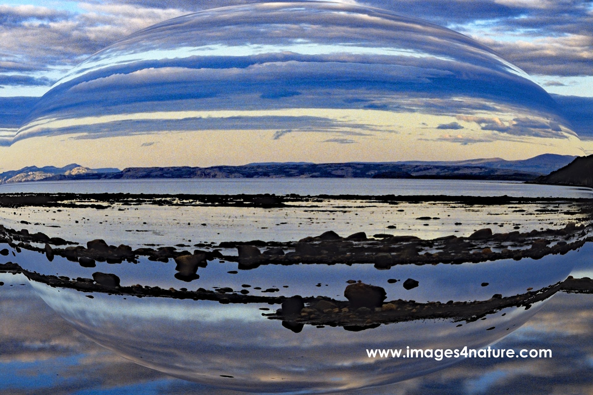
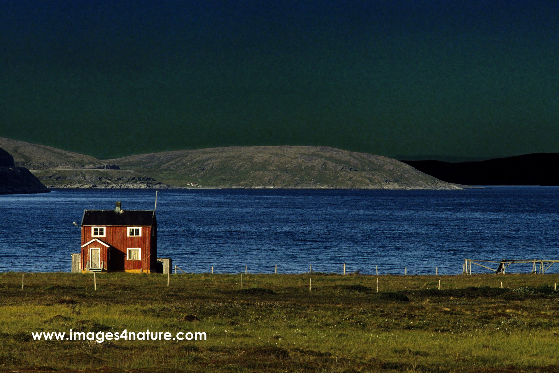
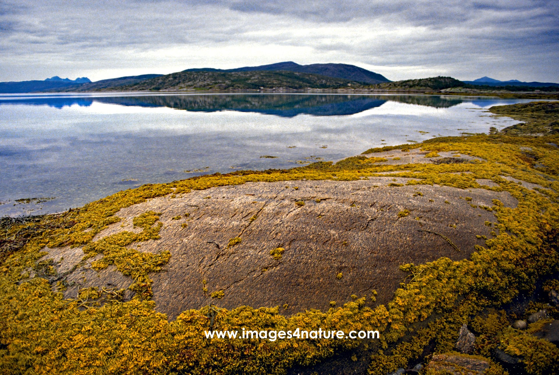
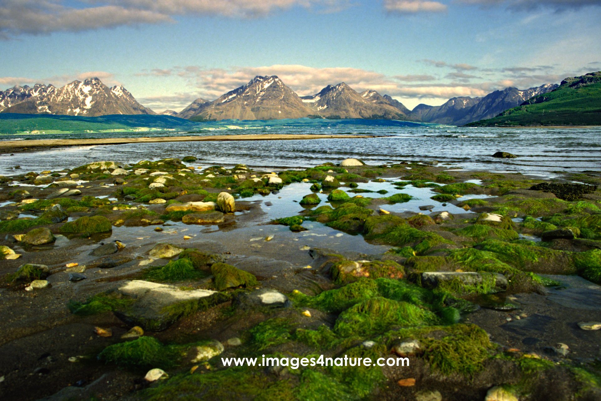
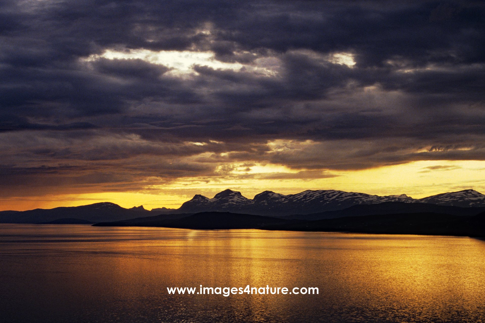
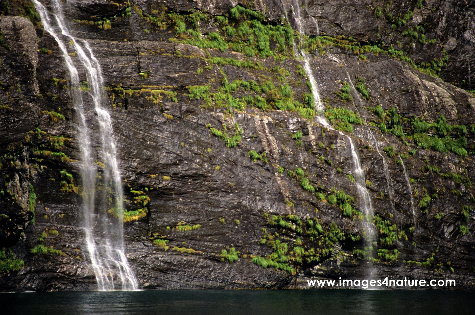
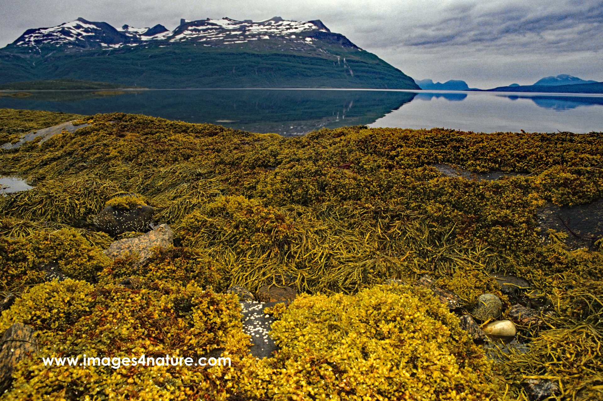
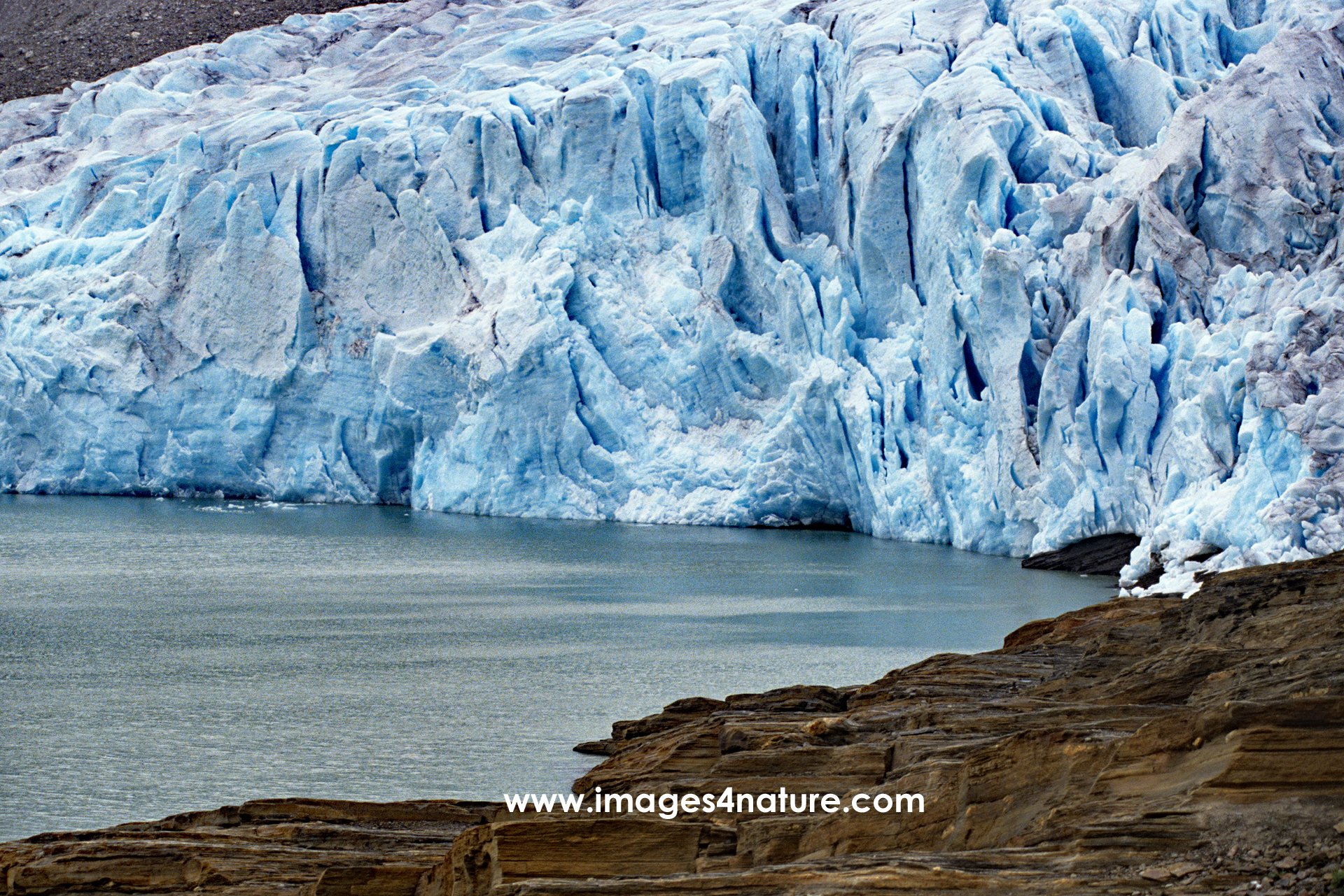
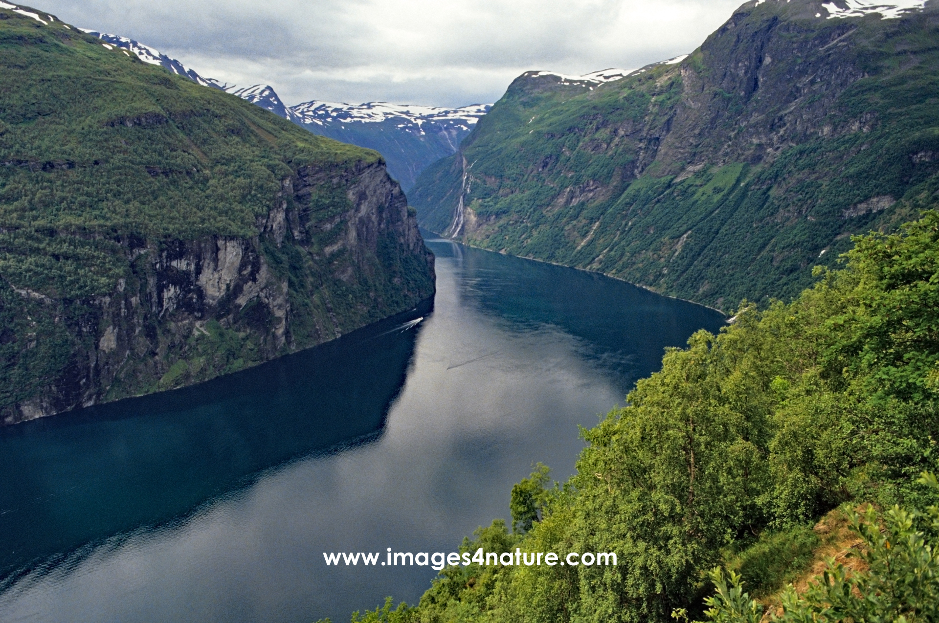
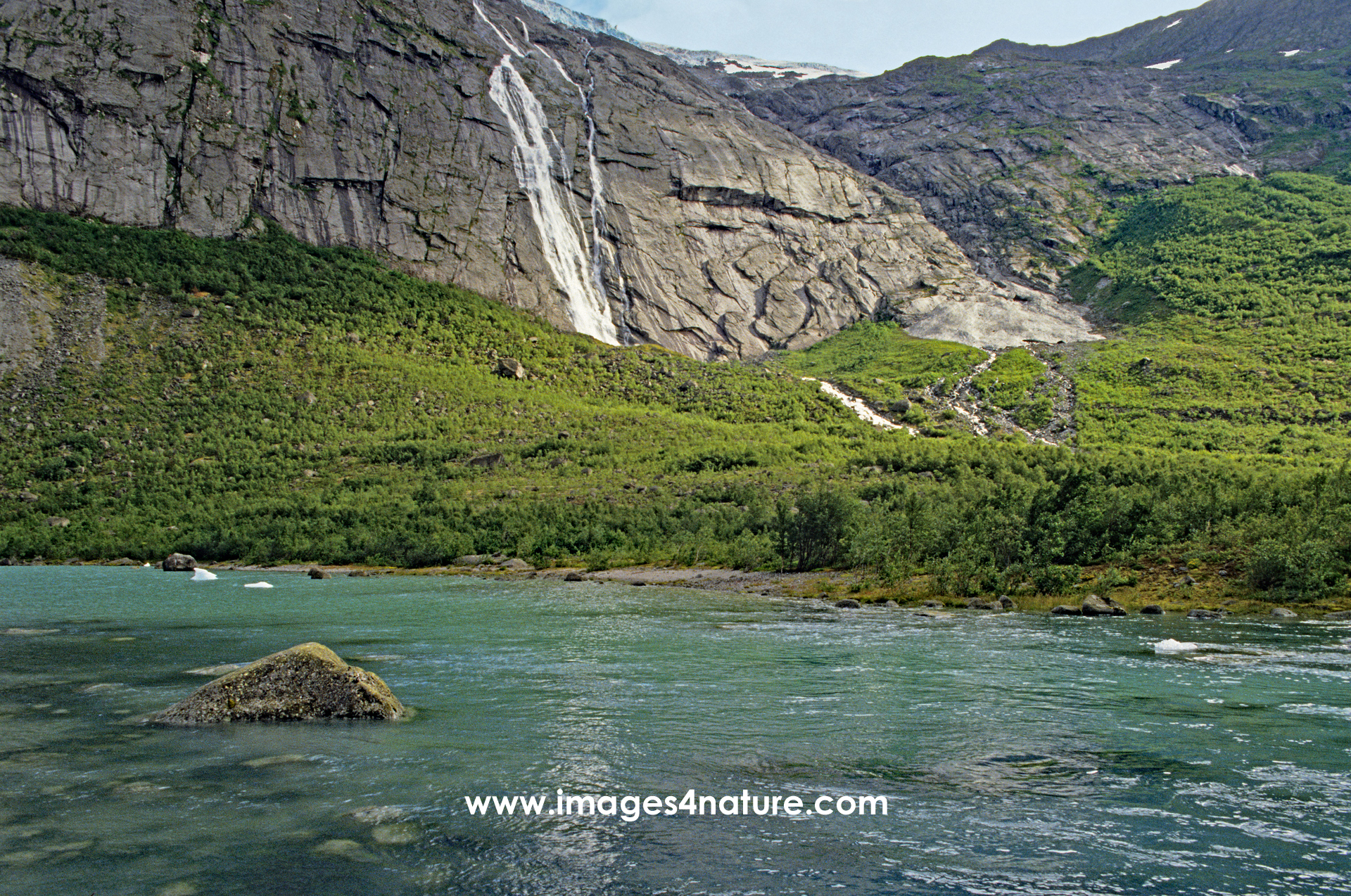
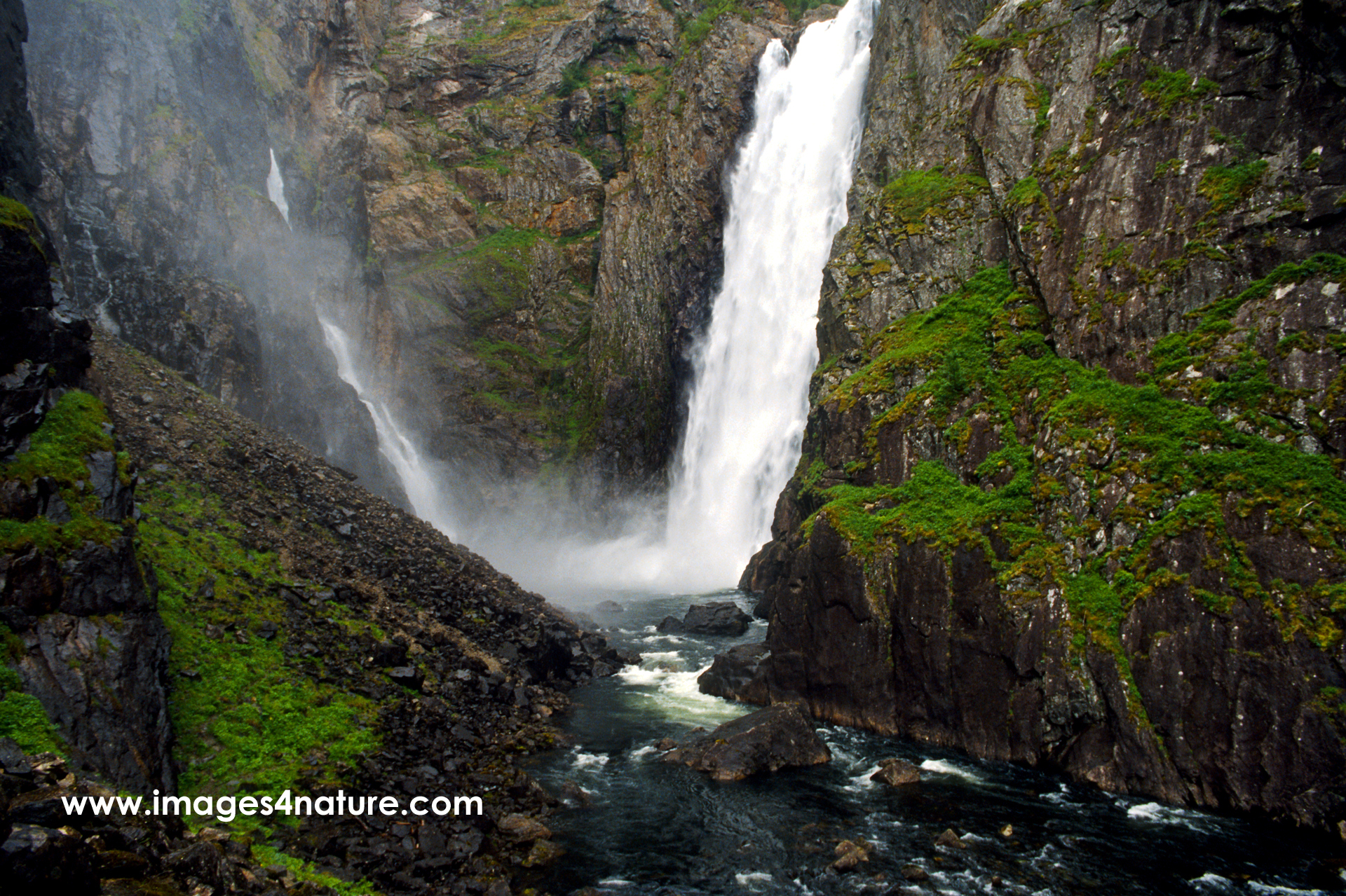
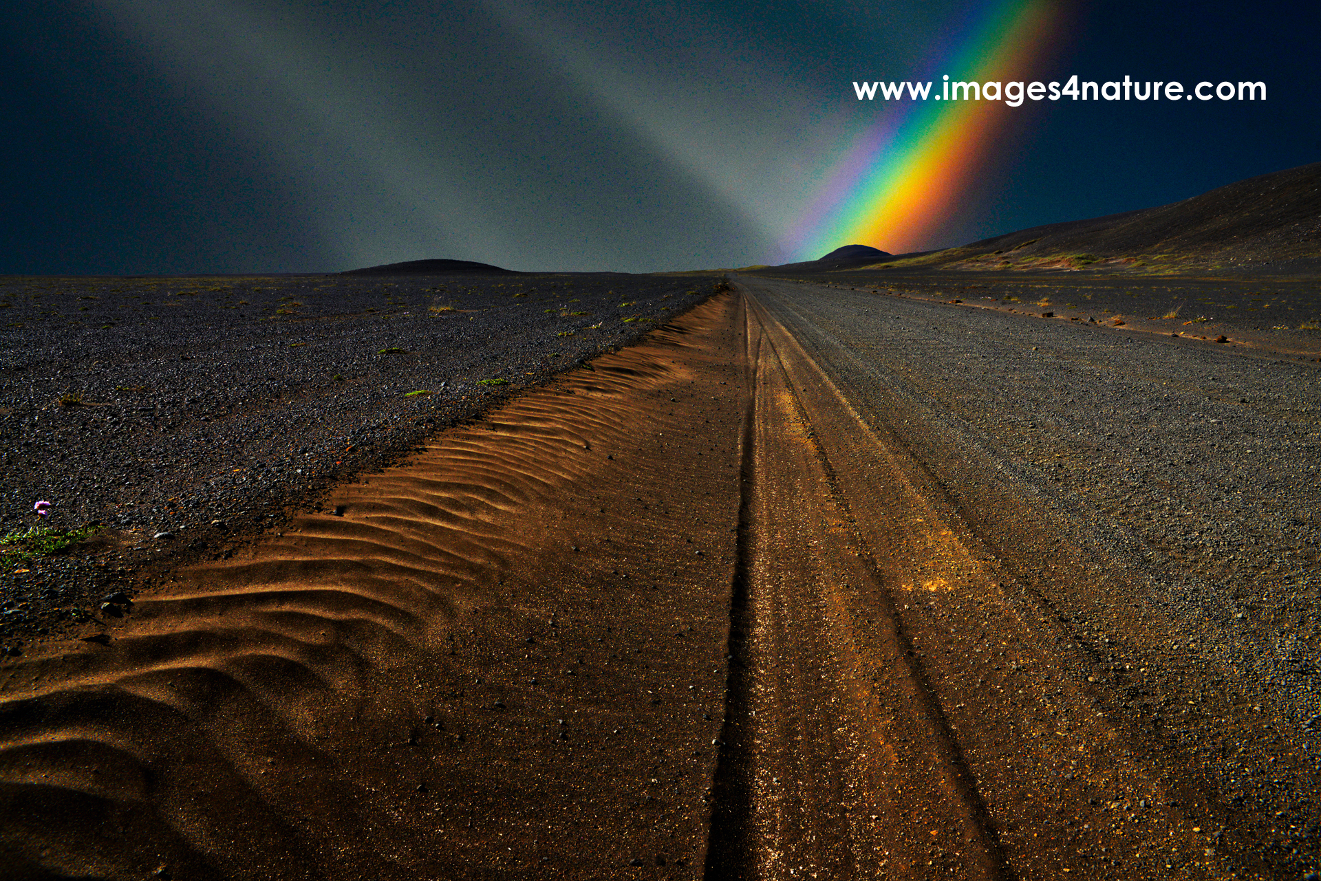
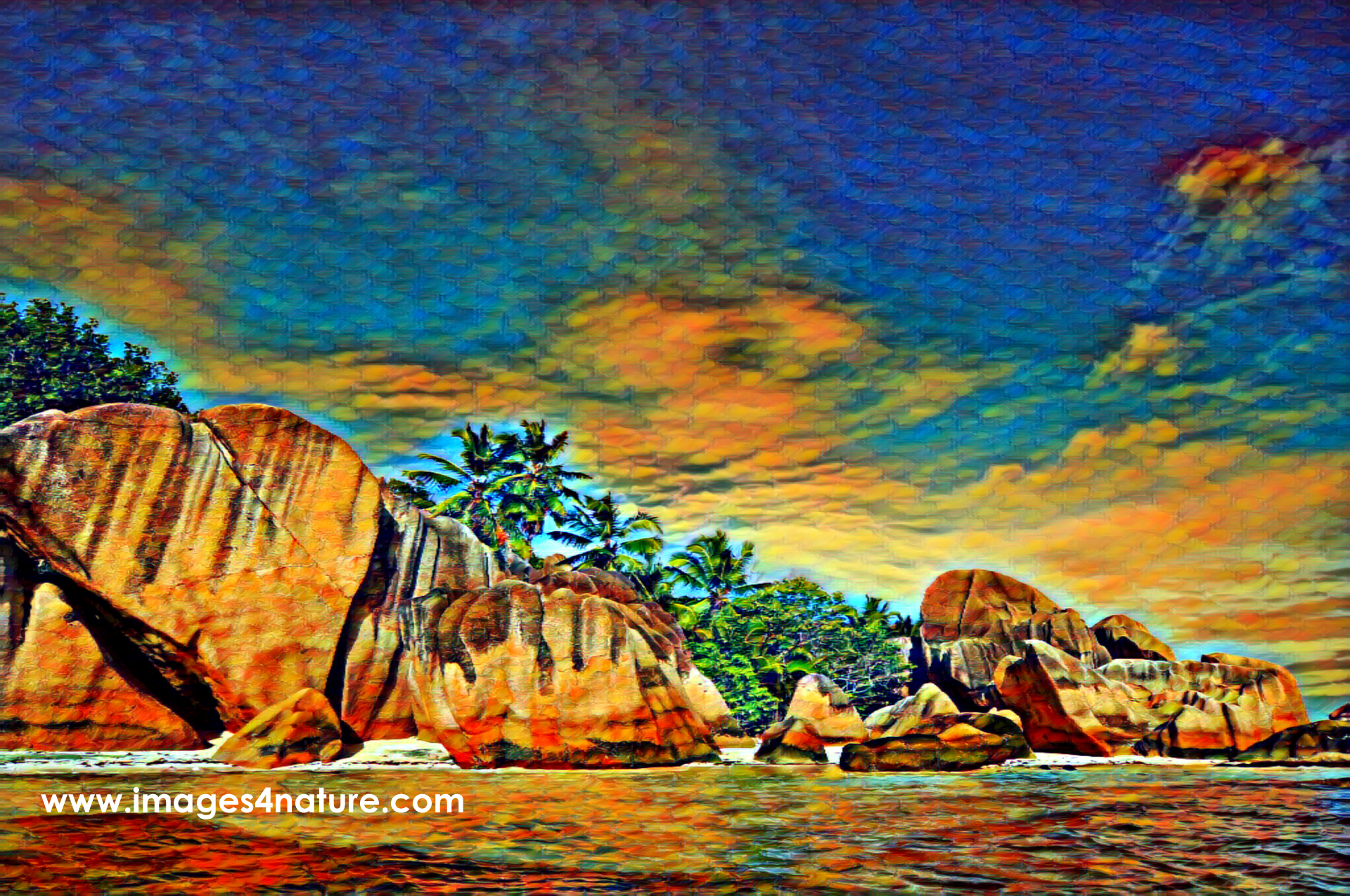
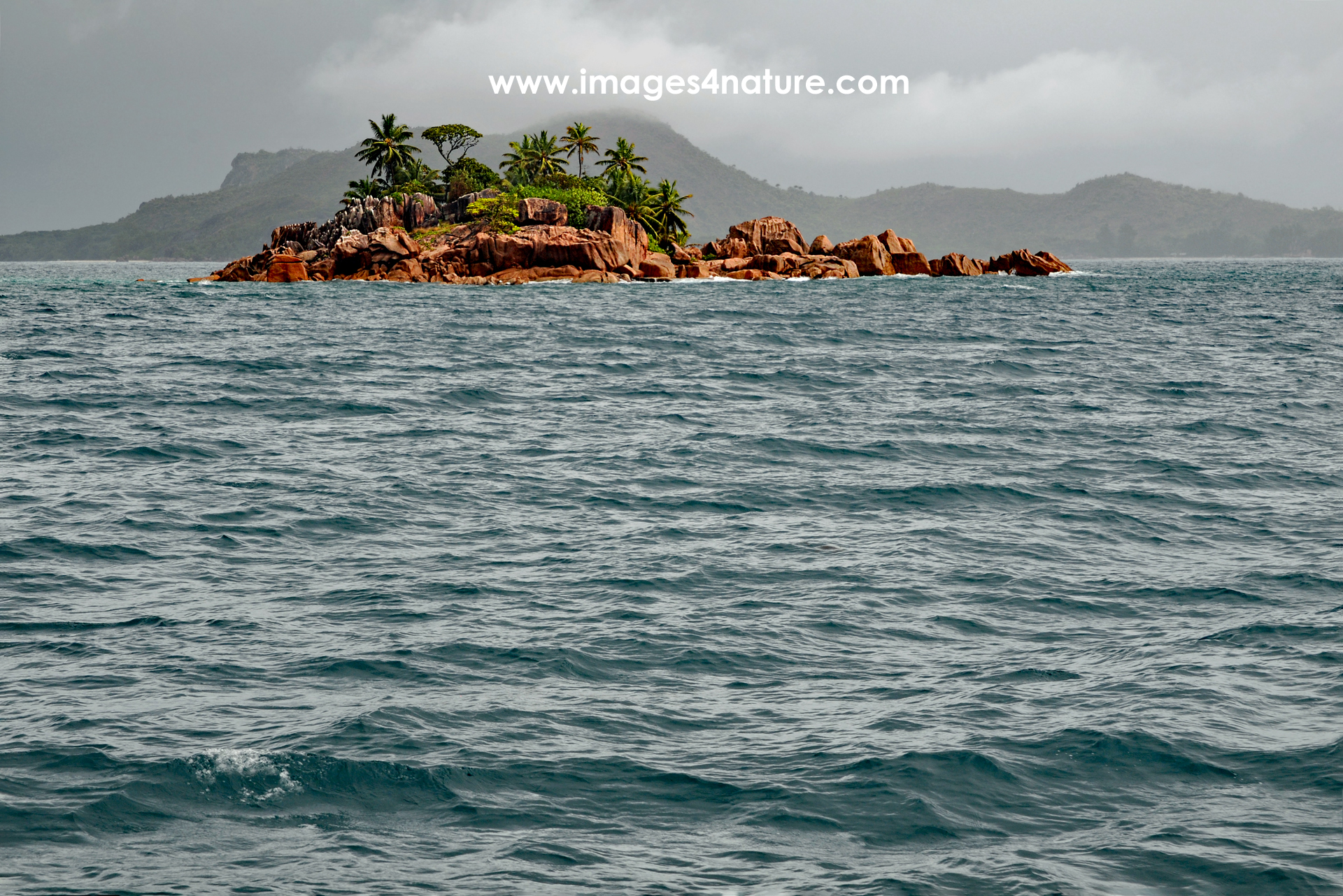
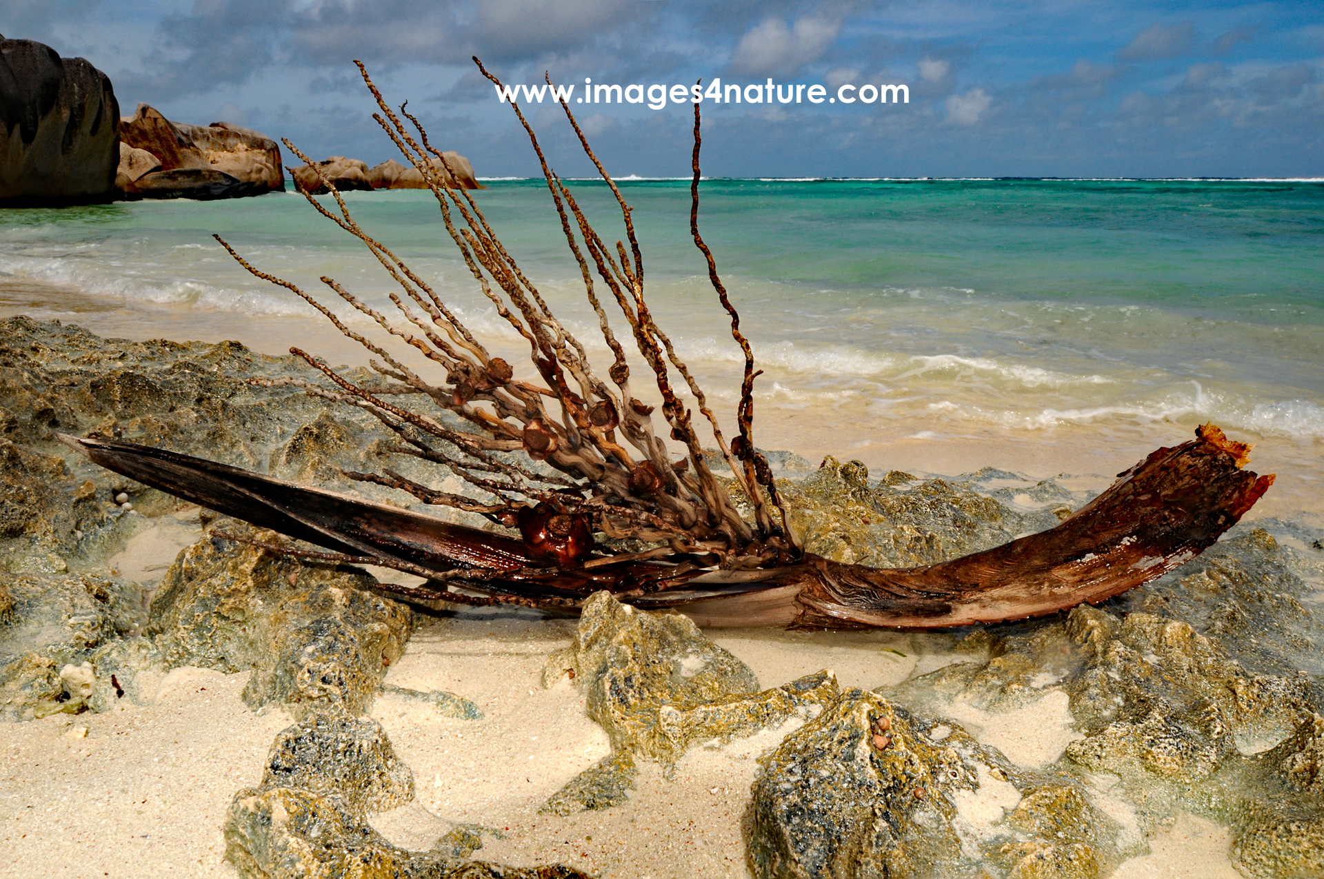
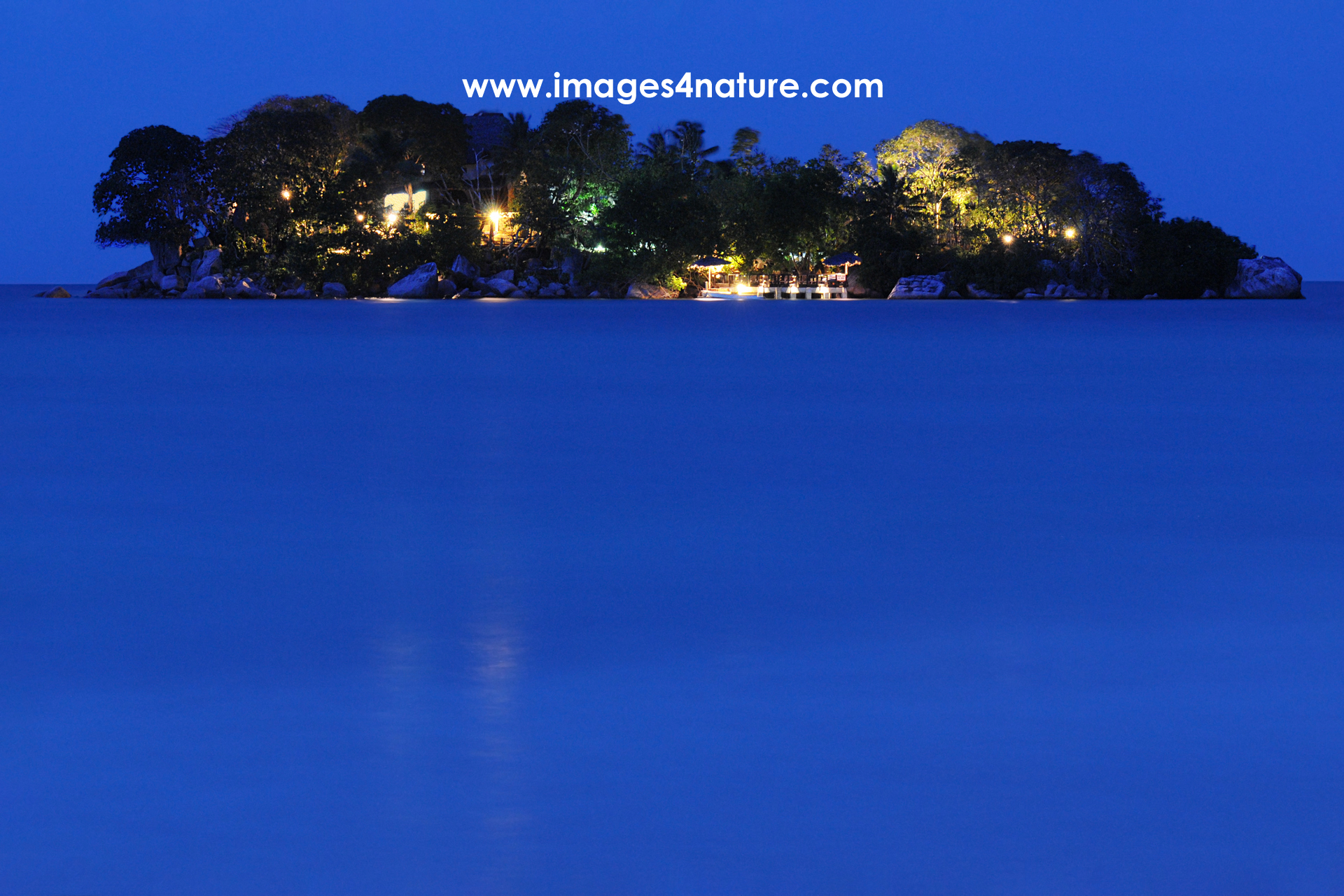
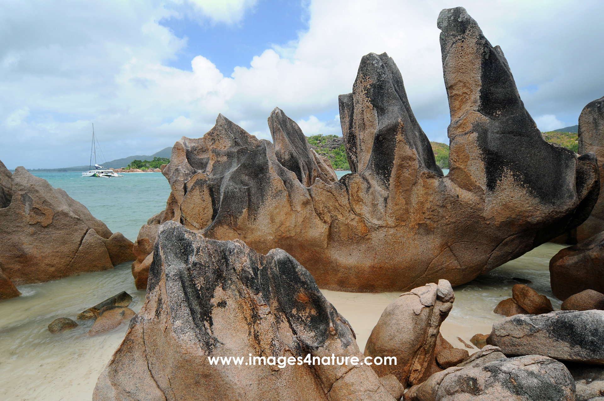
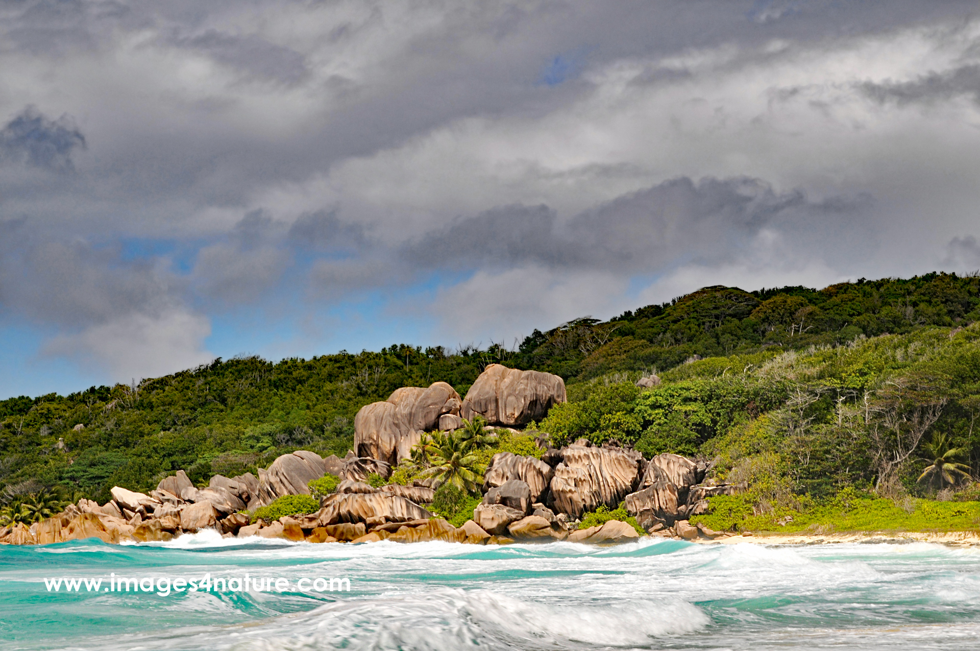
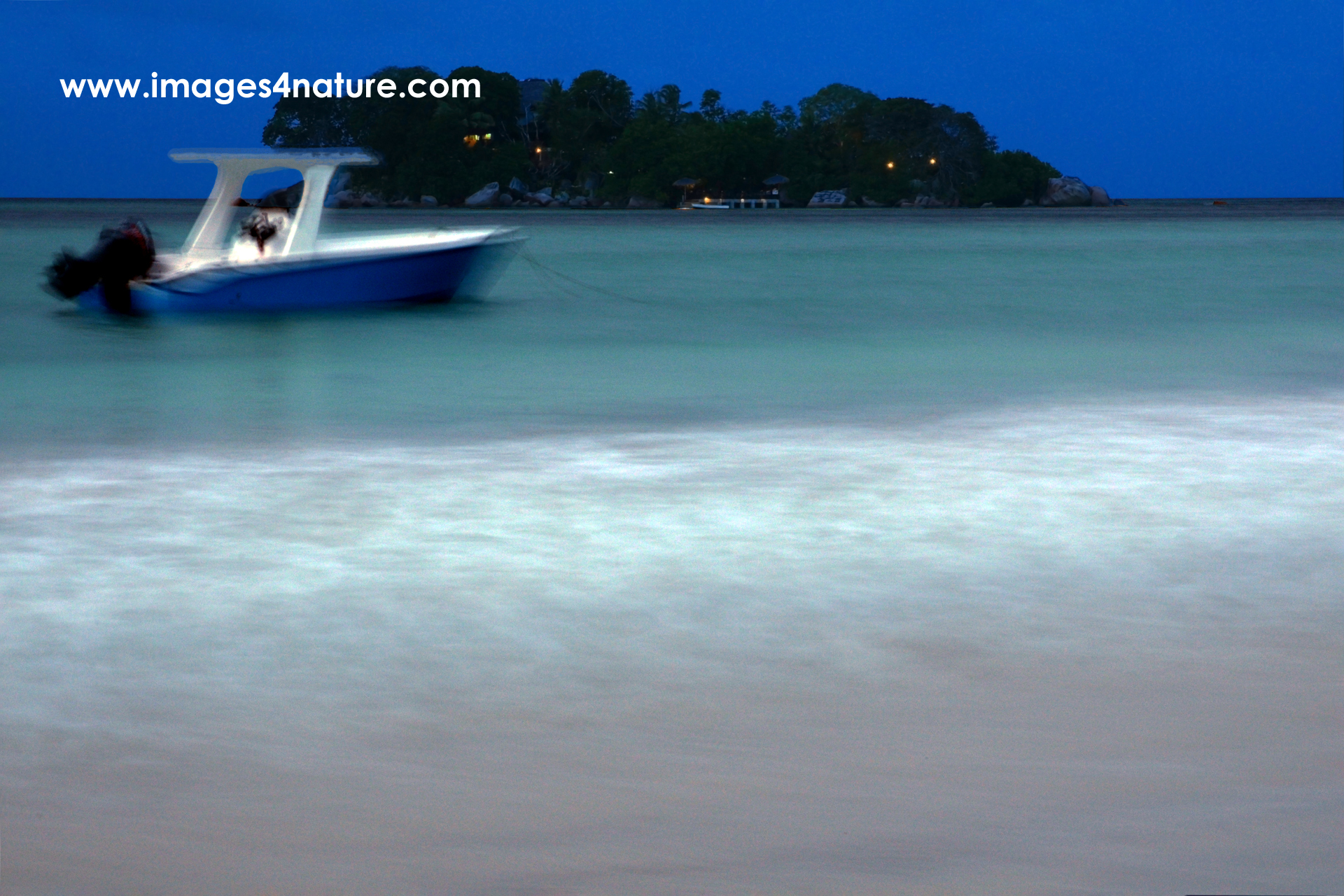
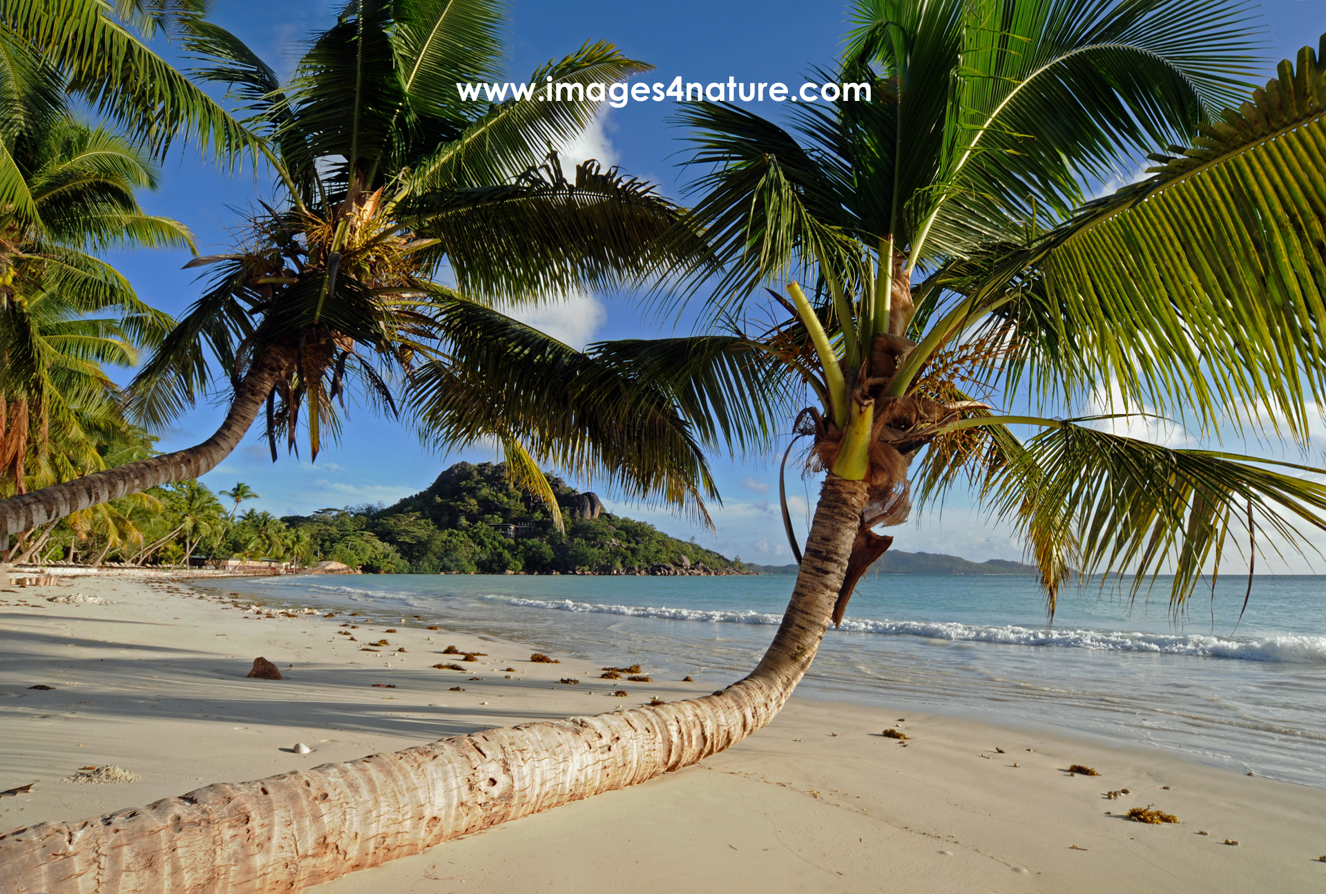
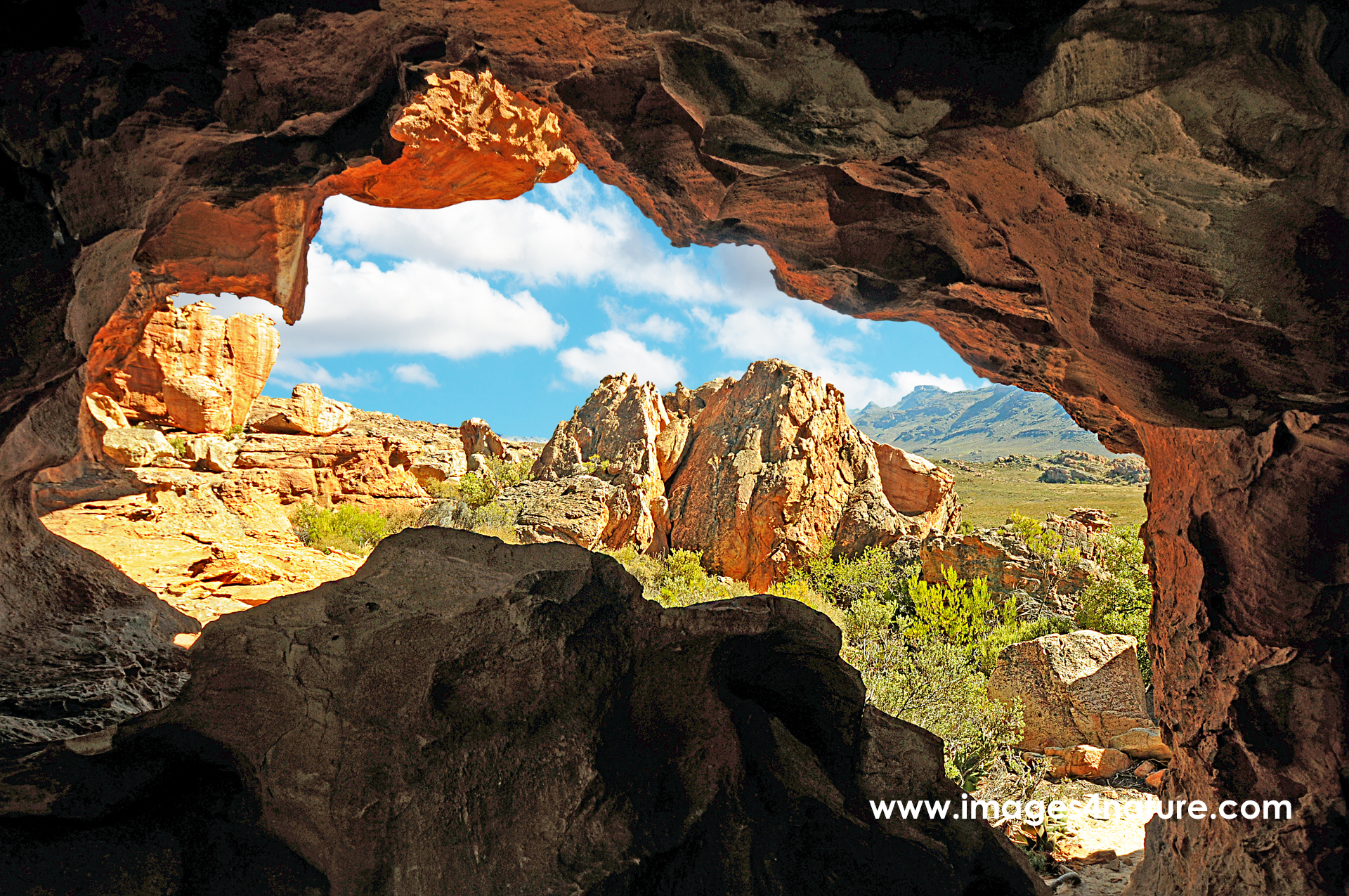
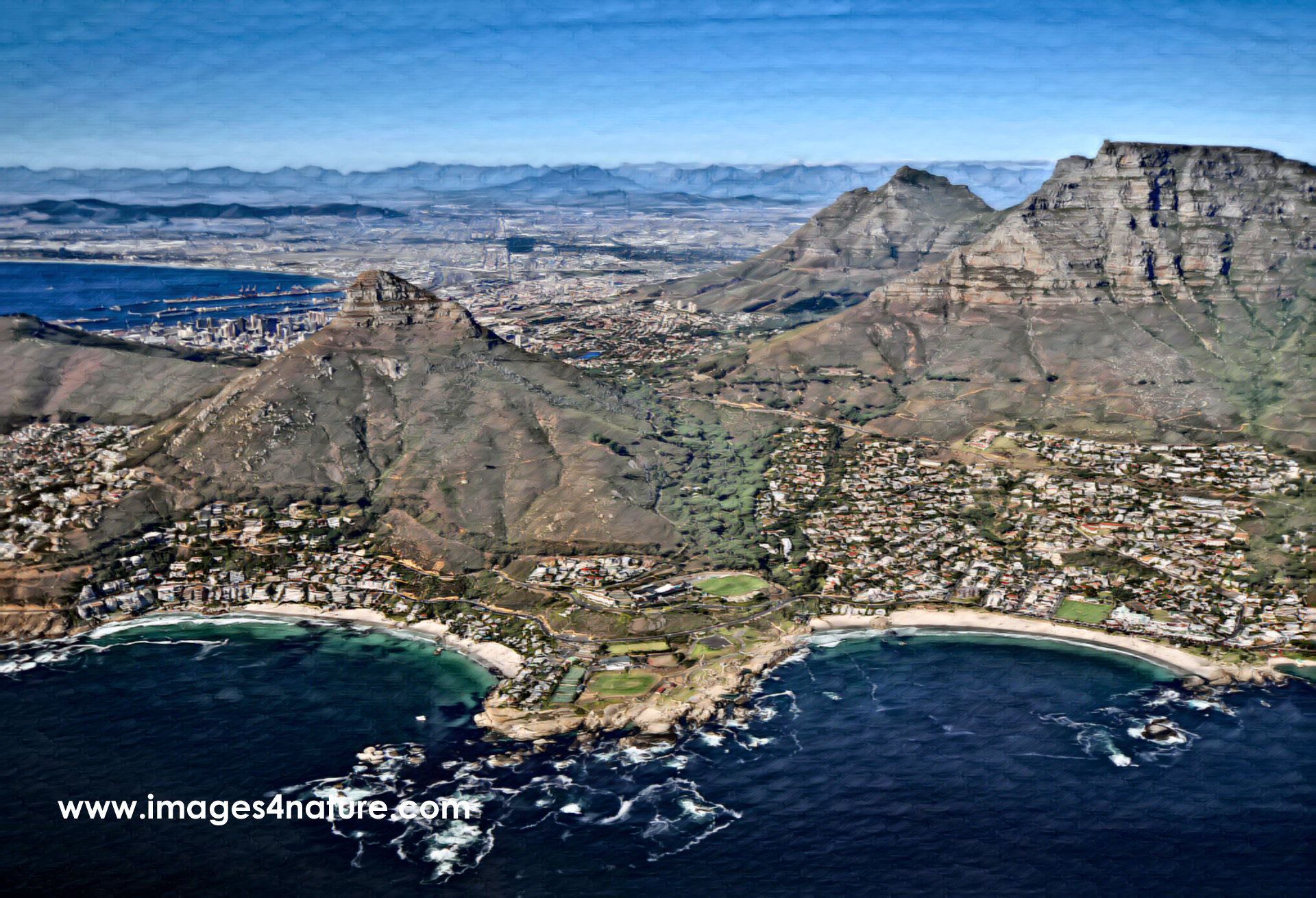
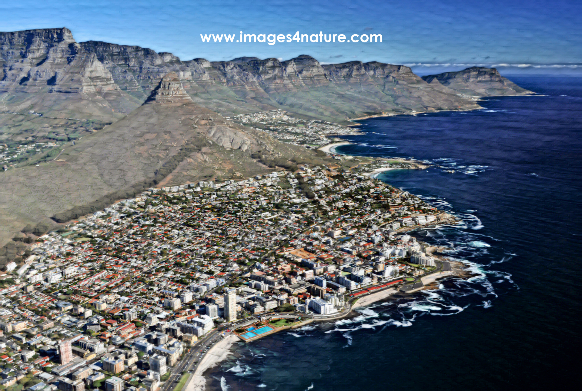
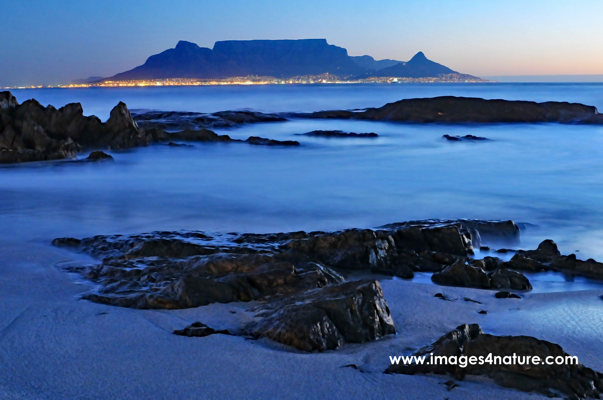
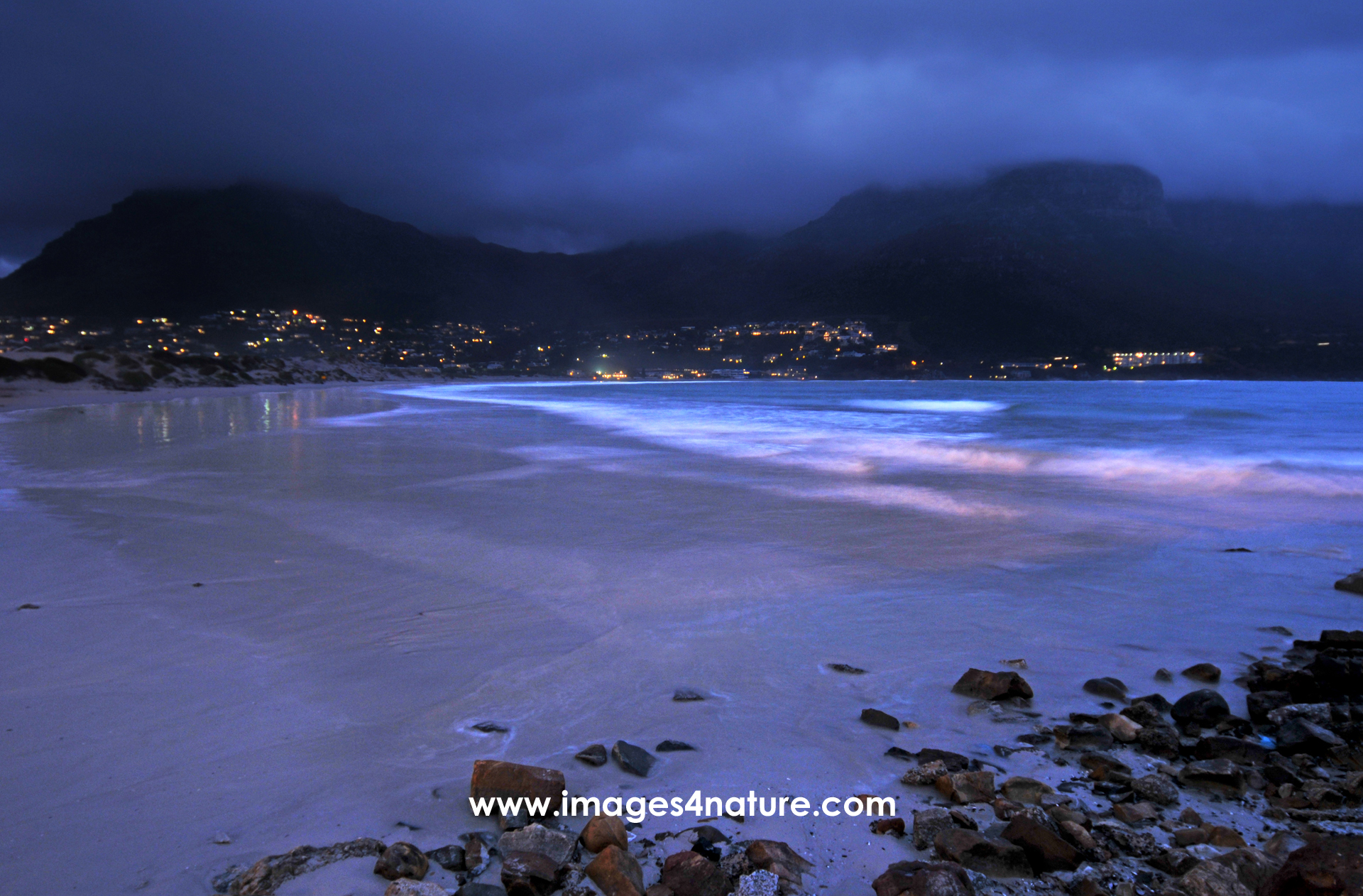
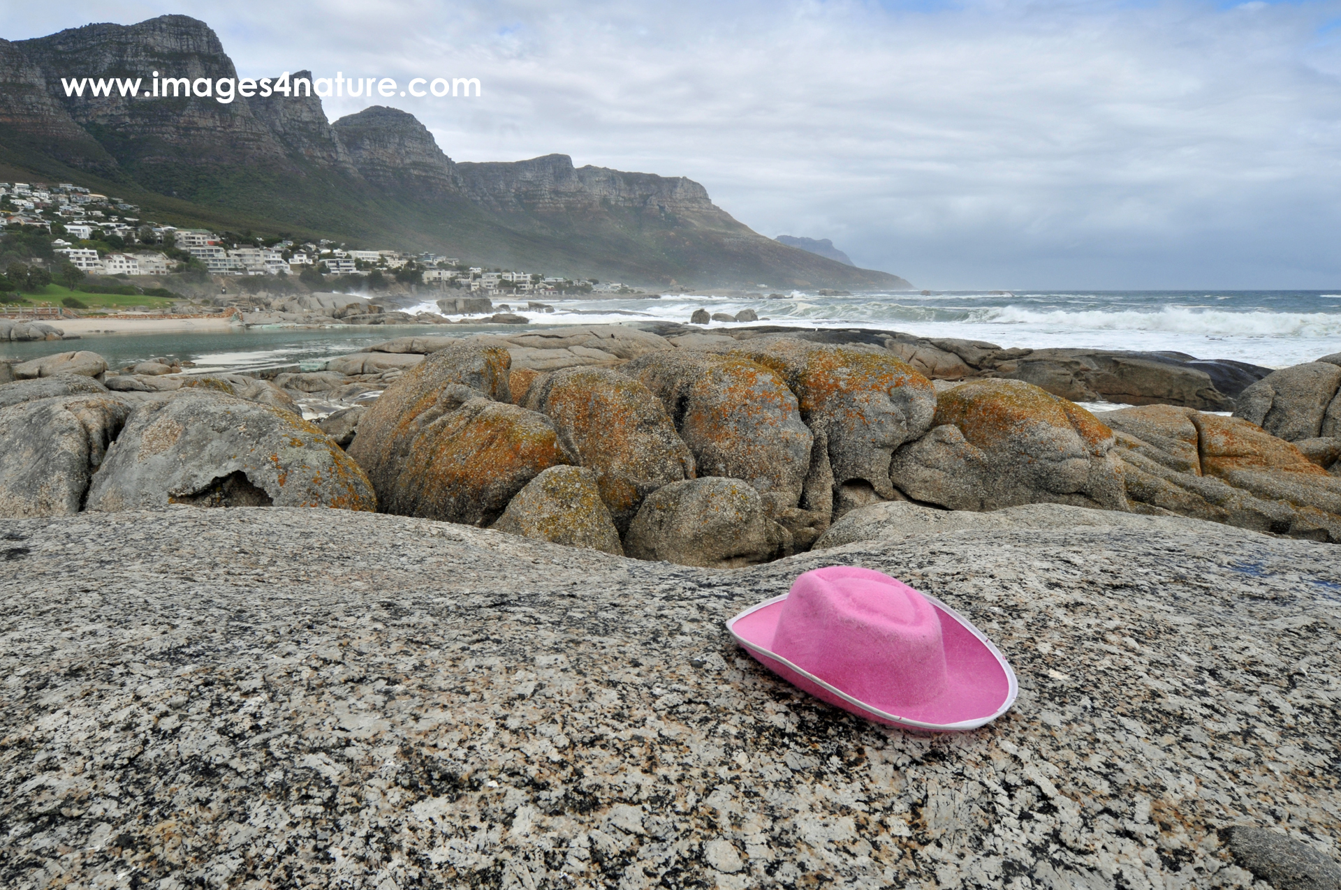
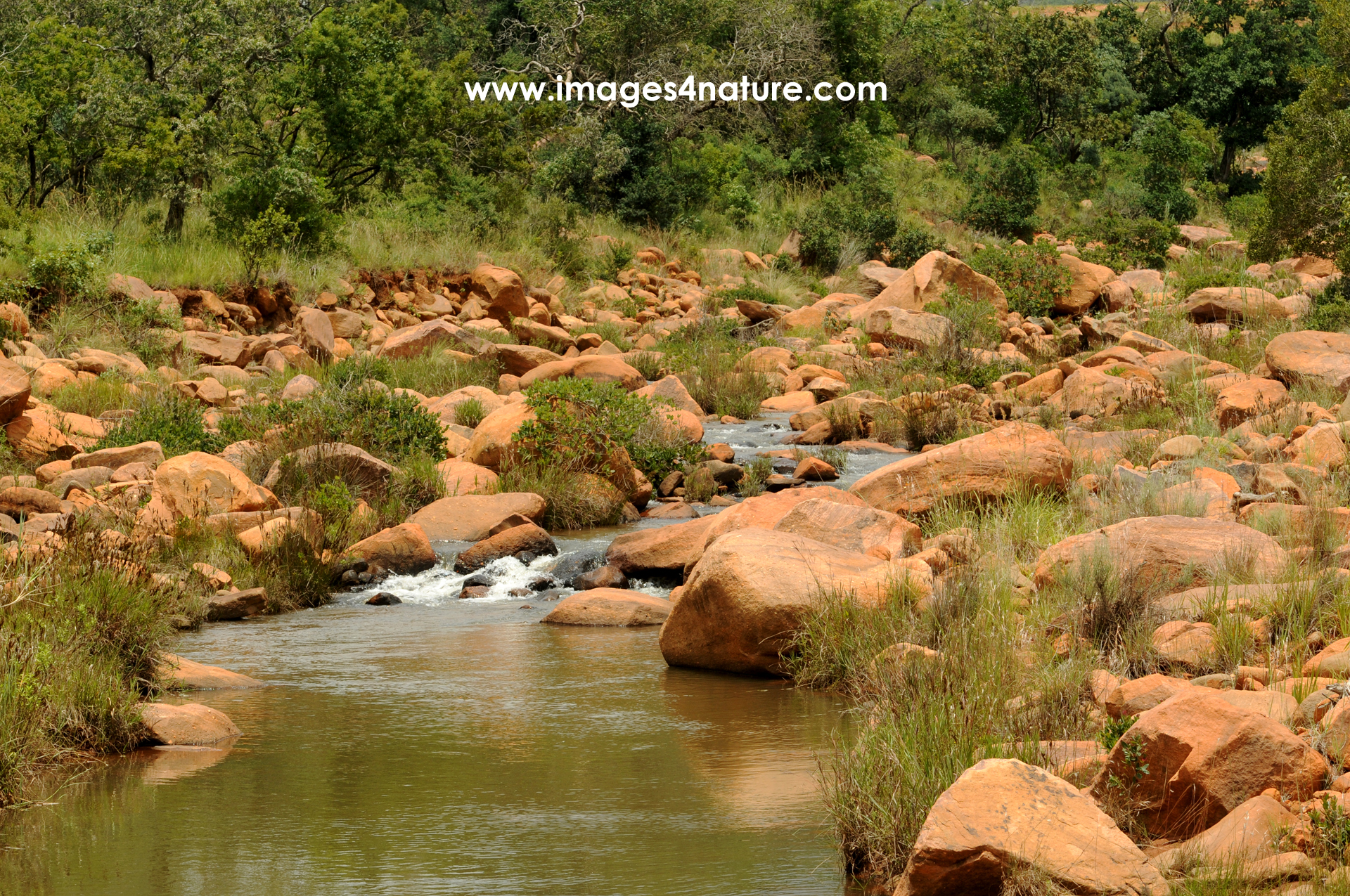
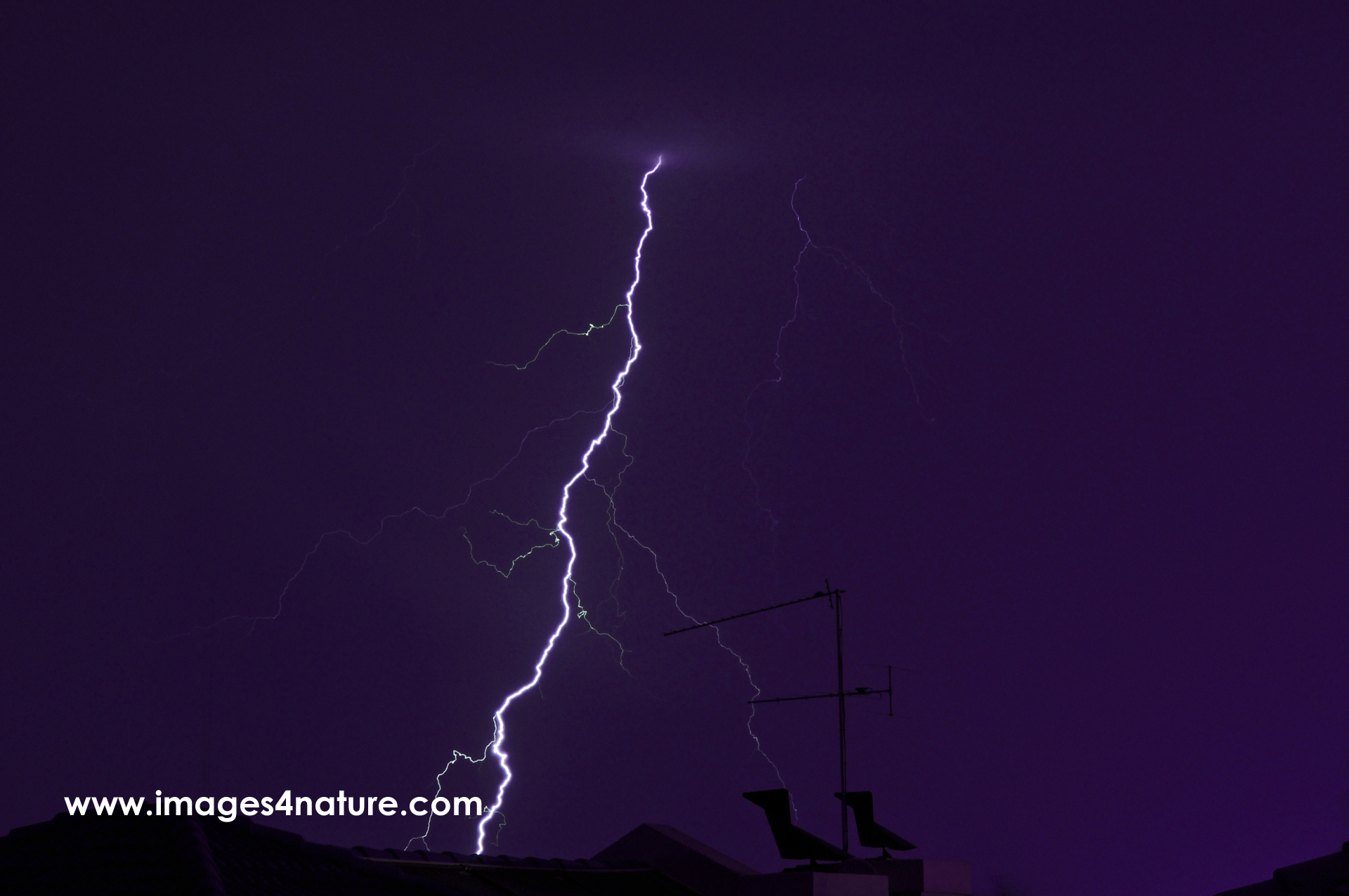
Chillout with an awesome view - Cow resting on mountain pasture
The power of marketing: It is probably because of successful chocolate advertising that many relate Switzerland with happy cows on green mountain pasture. Living in the fresh air on such a healthy diet, combined with the spectacular views must produce top class milk for this sweet trademark product. The area around Grindelwald has a lot of stunning hiking trails to enjoy the Bernese Alps panorama.
(Grindelwald, Switzerland, July 2003 - Image ID 200307-CH-03)
Tranquility - Peaceful turquoise mountain lake in summer
As spectacular as the high peaks may be, the mountain lakes are equally attractive destinations. On clear and sunny summer days, the sky and the surrounding hills beautifully reflect in their water. And if your feet should feel too hot after a long hike, upon taking off your shoes the lakes provide an excellent refreshment. Just sitting there for some time, looking at the lake, is quite relaxing.
(Grindelwald, Switzerland, July 2003 - Image ID 200307-CH-05)
High above - Swiss alpine peak overlooking mountain pasture
This is just another example of the spectacular Swiss mountain peaks. Based on Grindelwald, we took a number of day trips, for example by rail to the "Kleine Scheidegg". Once arrived at the top station, it was time to go for an extended hike to fully absorb this special location. What I like a lot about this photo is the contrast between the cold snow covered wall as opposed to the warm green grass at lower elevations.
(Grindelwald, Switzerland, July 2003 - Image ID 200307-CH-04)
Small mountain stream in picturesque alpine stone valley
Isn't nature beautiful? A very simple setup, with just some water flowing down a valley covered with fresh green grass already looks nice on a sunny summer day. Once you add some stones with different shapes, sizes and colors, and it becomes even more attractive. And then you can obviously play around with different exposure times to create the effect of flowing water.
(Grindelwald, Switzerland, July 2003 - Image ID 200307-CH-10)
Aletsch glacier seen from Jungfraujoch viewpoint
If you look for an unique and spectacular railway experience, the Jungfraujoch line might just be the right thing for you. Climbing up from Interlaken, the top station is an impressive 3.450 meters above sea level. This is a European record! Obviously, one does not only go up and down. Upon exiting the tunnel, visitors can enjoy spectacular views of Eiger, Mönch and Jungfrau, and the Aletsch glacier.
(Jungfraujoch, Switzerland, July 2003 - Image ID 200307-CH-06)
Take a rest - Wooden bench inviting hikers to have a break
Even in high season, there are still many awesome places available to take a rest, and to enjoy the panoramic views of the surrounding mountains. I found this inviting wooden bench on the "Männlichen" mountain ridge close to Grindelwald. This place is easily accessible by cable car, and lots of well-signed hiking trails connect the top station with the surrounding peaks and other transport hubs.
(Grindelwald, Switzerland, July 2003 - Image ID 200307-CH-02)
Alpenglow - Red hot Matterhorn against dark sky
As much as I like nature, I sometimes enjoy to play around with light. This color change was not done in Photoshop. I already did this when I scan my analogue slides, and experimented with different color settings. The inspiration for this particular one came from the term "Alpenglühen". It describes the effect of the mountain peaks glowing in the evening sunlight (= therefore Alpenglow). And whilst the color in reality is more yellow to orange than dark red, I liked this version which looks like burning charcoal.
(Zermatt, Switzerland, July 2013 - Image ID 201307-CH-07)
Swiss Alps mountain lake and snow covered peaks
Upon exiting the Gornergrat railway, we went for a hike to the nearby Grindji Lake. From there, visitors can enjoy spectacular views of the Matterhorn. Unfortunately, the time of the day was not perfect with the sun coming right from that direction. So the best option was to turn around, and rather capture the peaceful lake with the snow covered mountain range in the background.
(Zermatt, Switzerland, July 1993 - Image ID 199307-CH-05)
Glowing cloud covering the peak of Matterhorn
The advantage of staying in Zermatt is that one can easily check the visibility and light conditions on the Matterhorn at any time of the day. And obviously, things will always change… This photo was taken early in the morning, with the valley still covered by shade. This was more than compensated by a single cloud right on top of the peak. Illuminated by the morning sun, it seemed to be almost glowing.
(Zermatt, Switzerland, July 1993 - Image ID 199307-CH-06)
High mountain trees overlooking the valley - Photo painting
Summer vacations in the mountains are not complete without hiking. Lots of rack railways, cable cars and other lifts provide convenient access to higher elevations. As such, it is possible to enjoy the fresh air and the stunning views also as a day visitor. Since I always liked to take photos of trees, I couldn't resisit to capture this idyllic scenery. The original slide scan has been converted into a photo painting.
(Zermatt, Switzerland, July 1993 - Image ID 199307-CH-03)
The impressive Matterhorn surrounded by illuminated clouds
Due to its special shape, the Matterhorn is one of the most famous mountain peaks worldwide. Four steep faces form an almost perfect pyramid, rising to almost 4.500 meters above sea level. Visitors can enjoy spectacular views from both the valley as well as from the nearby mountain ridges. We stayed in Zermatt for a few days, and did a number of day trips. On one of the afternoons, I took this photo of the iconic place surrounded by a beautifully illuminated cloudscape.
(Zermatt, Switzerland, July 1993 - Image ID 199307-CH-04)
Pristine tropical Sabah beach with lush vegatation
This is how "paradise" looked like upon arrival on one of the small islands close to Kota Kinabalu. The advantage of just taking a transfer with a small boat was that we got there rather early, and basically had the beautiful sandy beach all for ourselves. We were impressed about the lush tropical jungle on such a small island. And the beach had a lot of small and larger details to explore. Hence the time went by rather quickly, and we were sort of sad when we had to leave.
(Kota Kinabalu, Malaysia, July 2013 - Image ID 201307-MY-14)
Boat transfer to paradise - Tropical island excursion Sabah
One of the top activities in Kota Kinabalu are full- or half-day tours to a number of smaller islands just off the coast of Borneo. Obviously there are larger tourist ships including catering and entertainment. But we opted for just a transfer with a small boat. Riding towards our destination in this open boat at high speed was an experience itself. And the closer we got, the more our destination looked like paradise...
(Kota Kinabalu, Malaysia, July 2013 - Image ID 201307-MY-12)
Picturesque stream in the dense jungle of Mt. Kinabalu park
Not far away from the city of Kota Kinabalu is the mountain sharing the same name. With more than 4.000m of altitude, it is the highest peak in Malaysia. Initially, we were tempted to try to climb it, like many people do together with local guides. However, since we didn't really bring appropriate clothes and shoes, and with two children we decided to skip this idea. Instead, we took an extended hike in the beautiful jungle of the Mt. Kinabalu park. Lots of streams and the lush vegetation made this visit absolutely worthwhile.
(Kinabalu Park, Malaysia, July 2013 - Image ID 201307-MY-11)
Tree trunk washed ashore a sandy tropical beach
For a photographer, beaches are always a tempting motif. This is particularly true when people who grew up in a cold or moderate climate visit sandy tropical beaches. If nature is kind enough to add some decorative driftwood, the number of pictures will increase dramatically. I found this tree trunk during our day trip to one of the outlying islands close to Kota Kinabalu in Borneo's state of Sabah.
(Kota Kinabalu, Malaysia, July 2013 - Image ID 201307-MY-15)
Fishing boats in the bay of Kota Kinabalu at sunset
Upon arrival at Kota Kinabalu on Malaysia's Borneo island, we felt the need to move a little bit before going for dinner. So we took a stroll in the city. Obviously, taking a look at the sun setting over the tropical South China Sea was a "must do". To make things even better, a number of fishing boats were lined up nicely in front of the glowing horizon. A very romantic way to start our time in this part of the country...
(Kota Kinabalu, Malaysia, July 2013 - Image ID 201307-MY-10)
Batu Caves statue and entrance near Kuala Lumpur
One of the most popular days trips from Kuala Lumpar is a visit to the nearby Batu Caves. It actually is a whole ensemble of karst caves, and they are home to a number of Hindu shrines and temples. The gigantic Murugan statue at the entrance is very impressive, both due to its heights as well as its bright color. Upon climbing the steep stairs, visitors can enter the caves and explore the countless statues inside.
(Batu Caves, Malaysia, July 2013 - Image ID 201307-MY-06)
Wooden buoy-man sculpture on the Outer Alster Lake
This gentlemen is one of four wooden sculptures created by artist Stephan Balkenhol. They are distributed within Hamburg's city limits. This specific one resides on a buoy in the beloved "Außenalster". This artificial lake is very popular amongst Hamburg citizens for recreational purposes and sport. Looking at the statue from a distance, one can get easily confused, and consider it a real person lost in the water. A great piece of art...
(Hamburg, Germany, July 2013 - Image ID 201307-DE-08)
Moon rising above colorful red rocks and pine trees - Photo painting
Later in the evening, I took this photo from a different angle and perspective. The moon nicely rises above the red colored rocks and some pines still illuminated a little bit by the sun.
(Cote d'Azur, France, July 1993 - Image ID: 199307-FR-17)
Pont du Gard aqueduct on a misty rainy summer day
The final attraction on our road trip was a historic one. The Pont du Gard, built by the Romans in the first century, is one of the best preserved aqueducts. With almost 50m, it is also the tallest, and has been added to the UNESCO World Heritage sites. Unfortunately, there were no blues skies and sunshine for our visit. But we could still enjoy the magic of this impressive monument, and walk over it to the other side.
(Pont du Gard, July 1993 - Image ID: 199307-FR-24)
Verdon gorge with lake of Sainte-Croix
One of the most famous destinations in the area is the Verdon gorge, sometimes also referred to as the "Grand Canyon of Verdon". This spectacular gorge is up to 700m deep, and around 25km long. At the end, the river with its fresh turquoise water feeds the artificial lake of Sainte-Croix.
(Gorges du Verdon, July 1993 - Image ID: 199307-FR-22)
Idyllic and densely forested river valley
Moving away from the Cote d'Azur, there are a number of very scenic natural parcs with lots of well maintained and signed hiking trails. We made full use of this opportunity, and explored a number of picturesque river valleys.
(Southern France, July 1993 - Image ID: 199307-FR-19)
Threatening storm clouds over the Mediterranean
After several days in high mountain areas of the Route des Grandes Alpes, it was nice to finally arrive at the sea. However, the Mediterranean welcomed us with quite a threating dark sky and thunderstorms.
(Cote d'Azur, France, July 1993 - Image ID: 199307-FR-10)
Mountain peak with moon in the afternoon sun
The colorful rocks of the mountains alone have a lot of potential when it comes to nature photography. We were lucky enough to have a beautiful moon rising early in the afternoon that added this little extra to the images.
(Cote d'Azur, France, July 1993 - Image ID: 199307-FR-16)
Scenic view of Monaco from above
The best place to get an overview about Monaco and its beautiful surroundings is definitely from the steep mountains rising quickly from sea level. We also visited the city itself to get a feeling for one of the smallest and richest countries in the world.
(Monaco view, France, July 1993 - Image ID: 199307-FR-11)
Groups of tourists exiting the Aiguille du Midi ice tunnel
To access the most spectacular viewpoint, upon exiting the cable car, visitors had to pass a tunnel through the ice. Not sure if this tunnel still exists with all the climate change and meltdown of the alpine glaciers. At that time, I truly enjoyed this unique experience.
(Aiguille du Midi, France, July 1993 - Image ID: 199307-FR-02)
Aiguille du Midi alpine peaks panorama
From the Aiguille du Midi, one can enjoy a breathtaking panoramic views over the French and Swiss Alps. At the time of our visit in July, there was quite a lot of snow. Together with the intense sunshine and the deep blue sky, this place felt quite magic.
(Aiguille du Midi, France, July 1993 - Image ID: 199307-FR-01)
Mountain stream on the Route des Grandes Alpes
You might have heard the saying: "The journey is the destination". This is particularly true when travelling the "Route des Grandes Alpes". This epic roadtrip from the Lake Geneva to the Cote d'Azur crosses 16 mountain passes with an incredibly diverse landscape. Streams and waterfalls are regular companions on this trip.
(Route des Grandes Alpes, France, July 1993 - Image ID: 199307-FR-03)
Route des Grandes Alpes - Above the clouds !
One of the benefits of crossing six mountain passes at altitudes above 2.000 meters is that sooner or later one may end up above the cloud cover, or at least some individual clouds. Watching them slowly rising with the thermal winds is quite relaxing. With a bit of sunlight, lots of photo opportunities arrise...
(Route des Grandes Alpes, France, July 1993 - Image ID: 199307-FR-08)
V-shaped pine tree in misty mountain area
Theoretically, as a photographer one could stop a few hundreds times, since the "Route des Grandes Alpes" has so many amazing natural treasures to offer just next to the road. Obviously, this would require a lot more time than we had available. So I focused on the most attractive models, such as this V-shapes pine against a misty mountain background.
(Route des Grandes Alpes, France, July 1993 - Image ID: 199307-FR-07)
The shape of water - Natural beauty at its best - I
When you think about a magic place with lots of water, this probably is at good as it gets! Since my first visit to Plitvice in 1991, I was fascinated by the breathtaking scenery. Water simply seems to come out of the forest, everywhere. The cascade of lakes connected by waterfalls is incredibly beautiful. Obviously, the place is a very popular tourist destination. If you want to enjoy the serenity and the unique shape of water of this location, I would suggest to come early in the morning.
(Plitvice Lakes, Croatia, June 2023 - Image ID: 202306-CR-51)
As beautiful as it gets - Waterfall in a forest
To view this high waterfall in person is a special experience that makes you feel quite humble. Since my first visit to Plitvice in 1991, I was fascinated by the breathtaking scenery. Water simply seems to come out of the forest, everywhere. The cascade of lakes connected by waterfalls is incredibly beautiful. Obviously, the place is a very popular tourist destination. If you want to enjoy the serenity and magic of the location, I would suggest to come early in the morning. Later it tends to get quite crowded.
(Plitvice Lakes, Croatia, June 2023 - Image ID: 202306-CR-63)
The breathtaking beauty of Plitvice lakes, forest and waterfalls
At the end of our hike around the lakes, I took this final shot showing the amazing scenery of the Plitvice lakes. Since my first visit in 1991, I was fascinated by the breathtaking scenery. Water simply seems to come out of the forest, everywhere. The cascade of lakes connected by waterfalls is incredibly beautiful. Obviously, the place is a very popular tourist destination. If you want to enjoy the serenity and magic of the location, I would suggest to come early in the morning. Later it tends to get quite crowded.
(Plitvice Lakes, Croatia, June 2023 - Image ID: 202306-CR-64)
Perfect combination - Waterfall and rainbow
A pristine waterfall already makes a wonderful photo model. Combine it with a water and it gets even better... Since my first visit to Plitvice in 1991, I was fascinated by the breathtaking scenery. Water simply seems to come out of the forest, everywhere. The cascade of lakes is incredibly beautiful. Obviously, the place is a very popular tourist destination. If you want to enjoy the serenity and the unique shape of water of this location, I would suggest to come early in the morning.
(Plitvice Lakes, Croatia, June 2023 - Image ID: 202306-CR-58)
Tranquil place - Quiet turquoise lake within dense summer forest
Whilst not as spectacular as the waterfalls, the surrounding forest also deserves protection and respect. This unique combination put the National Park is on the UNESCO World Heritage list for a good reason. Since my first visit to Plitvice in 1991, I was fascinated by the breathtaking scenery. Water simply seems to come out of the forest, everywhere. Obviously, the place is a very popular tourist destination. If you want to enjoy the serenity and magic of the location, I would suggest to come early in the morning.
(Plitvice Lakes, Croatia, June 2023 - Image ID: 202306-CR-59)
Majestic - Large waterfall with lush green vegetation
Standing in front of this tall waterfall makes you feel quite humble. This National Park is on the UNESCO World Heritage list for a good reason. Since my first visit to Plitvice in 1991, I was fascinated by the breathtaking scenery. Water simply seems to come out of the forest, everywhere. The cascade of lakes connected by waterfalls is incredibly beautiful. Obviously, the place is a very popular tourist destination. If you want to enjoy the serenity and magic of the location, I would suggest to come early in the morning.
(Plitvice Lakes, Croatia, June 2023 - Image ID: 202306-CR-55)
Eye of the Earth - Cetina river spring Croatia
The "Eye of the Earth" shares the destiny with many other previous "insider-tips". This photo taken from above shows where the name is coming from. Years ago, only locals knew about the unique beauty spring of the Cetina river. However, with more and more people sharing photos of the stunning colors and shape of the source of the Cetina river, things changed. Especially drone images contribute to an increased popularity. Still not crowded, but not a secret anymore...
(Cetina, Croatia, June 2023 - Image ID: 202306-CR-44)
Eye of the Earth - Cetina river spring and orthodox church
Overlooking the beautiful spring of the Cetina river, there is an orthodox church. Years ago, only locals knew about this place in a rather remote area of Croatia. Most international tourists had no clue about the existence of the "Eye of the Earth". However, with more and more people sharing photos of the stunning colors and shape of the source of the Cetina river, things changed. Still not crowded, but not a secret anymore... It's worth walking around to the other side of the lake to enjoy the view.
(Cetina, Croatia, June 2023 - Image ID: 202306-CR-46)
Eye of the Earth - The deep aquamarine blue
This view shows the almost vertical wall of the "Eye of the Earth" leading into the karst underground. From there, the crystal clear water feeds the Cetina, the longest river in Croatia. Years ago, only locals knew about this place in a remote part of Croatia. However, with many people sharing photos of the stunning colors and shape, things changed. Still not crowded, but not a secret anymore... Thankfully, swimming is strictly prohibited to maintain the purity of the water. I loved the contrast with the fresh green.
(Cetina, Croatia, June 2023 - Image ID: 202306-CR-48)
Cetina river spring flowing through a beautiful forest
Wouldn't it be great if all rivers were as clean as the Cetina right below its source? The crystal clear water coming out of the karst underground feeds the longest river in Croatia. Before it makes its way to the Adriatic sea, the journey starts in this breathtaking valley. The fresh green of trees and bushes underline the natural beauty. To protect the purity of the water, swimming in the river spring is strictly prohibited. Hopefully people will respect and protect this magic place for future generations.
(Cetina, Croatia, June 2023 - Image ID: 202306-CR-49)
Fishing village - Stomorska harbour with Split in the background
The small previous fishing harbour of Stomorska on Šolta island is now a regular destination for touristic day tours out of Split. Various operators offer countless options from 1-10 hours, including various islands and locations. From what I saw, most people will just disembark, take a short stroll in the harbour, and maybe eat or drink something. I decided to take a walk up the road to get a better view of the village. It was definitely worth the effort on that hot spring afternoon, with a lovely panoramic sight.
(Solta, Croatia, June 2023 - Image ID: 202306-CR-39)
Departure - Sailboat leaving the harbour of Stomorska on Šolta
I guess that the best way to explore the countless larger and smaller islands of the Croatian adriatic sea is probably by sailing along the coastline. Obviously, this is only an assumption, since I have not done it. However, just looking at this boat leaving the small harbour of Stomorska made me think about trying one day. Even though there was virtually no wind on that tranquil day in late spring, the scenery looked very tempting. And we saw a lot of sailboats from all over Europe in the different ports.
(Solta, Croatia, June 2023 - Image ID: 202306-CR-38)
Hidden place - Lonely beach with crystal clear water near Cavtat
Not far away from Dubrovnik, it the small coastal town of Cavtat. It's horseshoe shaped bays makes it quite special, even though you can only really see it from above. On route towards our day trip destination, driving on the coastal road, I spotted a secluded small beach. Fortunately, it was possible to access this hidden place. There were absolutely no people, and we celebrated the natural beauty of the rugged shores with the crystal clear blue water.
(Cavtat, Croatia, June 2023 - Image ID: 202306-CR-13)
Framed - Mountain road with blooming broom and a threatening dar
Most tourists in the Dubrovnik area stay within the city, or just visit some of the nearby coastal towns and beaches. It is however worth exploring the surrounding rural areas in the mountains. They rise to more than 1.000 meters above sea level with in just a few kilometers distance from the sea. Whilst driving uphill, a thunderstorm was approaching. I used this opportunity to capture the threatening dark sky, with the intense yellow broom shrubs framing the road.
(Cavtat, Croatia, June 2023 - Image ID: 202306-CR-15)
Secluded rocky nudist beach without people near Cavtat
On route towards our day trip destination Cavtat, while driving on the coastal road, I spotted a secluded small beach. It looked quite interesting and attractive from above, so I looked for an access path to this hidden place. It was just a short walk until we got to what turned out to an official "nudist beach". But there were absolutely no people, hence we just celebrated the natural beauty of the rugged shores with the crystal clear blue water.
(Cavtat, Croatia, June 2023 - Image ID: 202306-CR-14)
Breathtaking beach and cliff views from mountain path near Dubro
The Frana Supila road east of Dubrovnik is closed for traffic of any kind, but accessible by foot. From there, one can enjoy spectacular views of the Adriatic sea, and the dramatic fissured coastline. Due to the steep incline, it almost replaces aerial drone shots. The dark blue of the Mediterranean with its crystal-clear water stands in an eye-catching contrast with the lush green on the light grey cliffs. As an optional extra, all kinds of spring flowers add further colors to the scenery.
(Dubrovnik, Croatia, June 2023 - Image ID: 202306-CR-27)
Faded love - Red heart graffiti above abandoned Belvedere Hotel
Despite the temperatures being already quite high in June, I decided to take a hike on the Frana Supila road east of Dubrovnik. From there, one can enjoy spectacular views of Lokrum, the Adriatic sea, and the fissured coastline. Due to the steep incline, it feels almost like an aerial view. One of the first sights was the abandoned Hotel Belvedere with Lokrum island in the background. Someone was kind enough to leave this graffiti heart behind, with its color perfectly matching the roof.
(Dubrovnik, Croatia, June 2023 - Image ID: 202306-CR-26)
Kayaking Dubrovnik - Exploring the coastline and its caves
Another popular activity for tourists visiting Dubrovnik is kayaking. Most people take guided tours, that usually cover surrounding the city walls, Lokrum island and the coastline with a number of caves. Whilst this comes with the plus of interesting information about the city and its history, there are a few providers who also offer kayaks just for rent by the hour. We decided to rather take this option which allows to travel at your own speed, and to take photos without any peer pressure to move on.
(Dubrovnik, Croatia, June 2023 - Image ID: 202306-CR-06)
Kayaking Lokrum - Beautiful island coastline with a small cave
Most of the kayak tours in Dubrovnik last for 2-3 hours, and do include crossing over to Lokrum island. Whilst guided excursions come with the plus of interesting information about the city and the island, we decided to just rent the kayaks by the hour and go our own route. The big benefit is that this option permits to travel at your own speed. And, very important for me, to take as many photos where and whenever I want without any peers or the tour guide pressuring to move on.
(Dubrovnik, Croatia, June 2023 - Image ID: 202306-CR-09)
Out of this world - The beauty of the shores of Lokrum island
One of the most popular activities in Dubrovnik is a tour to the close-by small island of Lokrum. Located less than a kilometer away, it can easily reached by ferry service or with a kayak. The island hosts a botanical garden with old trees. Other sightseeing points are a monastery and the fortress. Most people will spend just 1-2 hours in the densely forested island before returning to the much more busy city. My favorite place was the colorful coastline with it's rocks and trees.
(Dubrovnik, Croatia, May 2023 - Image ID: 202305-CR-25)
Out of this world - The beauty of the shores of Lokrum island - II
One of the most popular activities in Dubrovnik is a tour to the close-by small island of Lokrum. Located less than a kilometer away, it can easily reached by ferry service or with a kayak. The island hosts a botanical garden with old trees. Other sightseeing points are a monastery and the fortress. Most people will spend just 1-2 hours in the densely forested island before returning to the much more busy city. My favorite place was the colorful coastline with it's rocks and trees.
(Dubrovnik, Croatia, May 2023 - Image ID: 202305-CR-26)
Scenic view of Dubrovnik old town and Lokrum island from the city walls
This is one of my favorite images from Dubrovnik. We obviously went for the tourist "MUST DO", and climbed the huge city walls. Whilst obviously rather crowded, it's worth going due to the spectacular views over the colorful rooftops and the Adriatic sea. Despite the heat, we decided to visit around noon time, since it was rather cloudy in the morning. This image towards the east shows almost the complete historic town, plus Lokrum island and the coastline in the background.
(Dubrovnik, Croatia, June 2023 - Image ID: 202306-CR-03)
Obstructed view - Dubrovnik evening panorama with cypress trees
Probably one of the best viewpoints of Dubrovnik is towards the east, on or above the small pebble beach of St. Jacob. Instead of the usual low-angle beach perspective I opted for a higher position. Initially, I tried to find another spot for unobstructed views of the city. But then I realized that the cypress trees rather added a special extra to the photo than ruining it. Blue hour was the perfect time, with a colorful sky and the city already beautifully illuminated.
(Dubrovnik, Croatia, June 2023 - Image ID: 202306-CR-10)
Scary looking clouds approaching dandelion meadow in full blosso
Do you also happen to still have a huge collection of old analogue photo treasures burried somewhere in your house? Maybe time to scan the best of them, so you can transfer them into the new digital age. I completed this exercise in 2022. This is one example of my really early work, taken at the small town of Laubach (Hesse) where I spent my teenage years. June at that time was often wet, relatively cold, and with frequent sudden weather changes. The beautiful countryside served as an inspiration for my passion for nature photography.
(Laubach, Germany, June 1983 - Image ID: 198306-DE-01)
Healthy summer meadow with dandelions, white flowers and trees
Maybe you still have a huge collection of old analogue photo treasures burried somewhere in your house? Then it's time to scan the best of them, so you can transfer them into the new digital age. I completed this exercise in 2022. This is one example of my really early work, taken in the small town of Laubach (Hesse). This is where I spent my teenage years, and the beautiful countryside was an inspiration for my passion for nature. After school, I spent a lot of time outdoors, with sports and photography as main leisure activities.
(Laubach, Germany, June 1983 - Image ID: 198306-DE-02)
Blue hour grand finale at the Orange River Augrabies Falls
On the final evening, we returned once again to the majestic Augrabies Falls in South Africa. We had visited the same place twice before, once in the morning, and once during the day. This time, we stayed until after sunset. It's amazing to see the gradual change when the sun starts going down, transforming the landscape and its colors by the minute. One of the best times for photography remains the blue hour; the time after the sun is down and before it gets dark. We enjoyed the natural wonder of the 60m high waterfall in this magic twilight. Time to say good-bye to the mighty Orange River...
(Augrabies National Park, South Africa, April 2011 - Image ID: 201104-ZA-24)
Hills in the valley with evening light
Driving around the park, the ever-changing landscape with its beautiful colours provide endless photo opportunities.
(Augrabies National Park, South Africa, April 2011 - Image ID: 201104-ZA-22)
Last sunrays illuminating Quiver Tree
The colours of the landscape in Augrabies National Park keep changing throughout the day, and become particularly beautiful in the late afternoon and evening. Here the warm sunlight illuminates a Quiver Tree.
(Augrabies National Park, South Africa, April 2011 - Image ID: 201104-ZA-21)
Augrabies Falls in the warm afternoon light
Revisiting the Augrabies Falls at a different time of the day makes a huge difference due to the different position and tone of the sunlight. No matter when, it's always an impressive sight
(Augrabies National Park, South Africa, April 2011 - Image ID: 201104-ZA-14)
Augrabies Falls rock pinnacle, mist and rainbow
Many years ago, we spent some days in one the less visited attractions of South Africa, the Augrabies Falls National Park. It's spectacular landscape is mainly popular amongst local outdoor enthusiasts. As its name already indicates, the parks major attraction is a majestic waterfall. This shot of the valley below the Augrabies Falls reveals the rugged beauty of the colourful rocks. The mighty Orange River has shaped this picturesque landscape with its water for millions of years. The high water levels after heavy rain and the small rainbow in the lower right corner were two nice add-ons.
(Augrabies National Park, South Africa, April 2011 - Image ID: 201104-ZA-13)
Gravel road in the Augrabies National Park
Not only the waterfall, but the entire park is a feast for the eyes. A number of gravel roads cross the red rocky terrain towards the endless horizon with a dark blue sky.
(Augrabies National Park, South Africa, April 2011 - Image ID: 201104-ZA-15)
Spring colours in Autumn
After days with lots of rain, entire areas of the park are filled with meadows of yellow flowers. Fresh green sharply contrasts with the sandy and usually rather dry surface.
(Augrabies National Park, South Africa, April 2011 - Image ID: 201104-ZA-16)
Tranquil waters in rocky landscape
Whilst most people visit the Augrabies National Park because of the impressive waterfalls, there are lots of other picturesque locations up- or downriver.
(Augrabies National Park, South Africa, April 2011 - Image ID: 201104-ZA-17)
Silver grass in endless plains
Beautifully illuminated grass always makes a nice photo motif. Combine it with the reddish gravel soil of the Northern Cape area, the resulting contrast makes it stand out even more.
(Augrabies National Park, South Africa, April 2011 - Image ID: 201104-ZA-10)
Yellow flowers in Augrabies National Park
In some areas, fresh grass, shrubs and flowers add some colour to the otherwise rather rocky landscape.
(Augrabies National Park, South Africa, April 2011 - Image ID: 201104-ZA-09)
Rock split by the powers of nature
A number of well-signed hiking trails allow visitors to explore the wild beauty of this remote area. Even large rocks crack into huge pieces due to the permanent exposure to sun, heat, cold, wind etc., creating amazing pieces of natural art
(Augrabies National Park, South Africa, April 2011 - Image ID: 201104-ZA-07)
Augrabies Falls on the edge
In this case, a single photo doesn't really do justice to the power of the Oranje River dropping down into the ravine below the Augrabies Falls. A video clip shows it much better, but nothing beats the live experience.
(Augrabies National Park, South Africa, April 2011 - Image ID: 201104-ZA-11)
Orange River after passing the Augrabies Falls
After its 60 meters drop of the Augrabies Falls, the Orange River makes its way through the vast plateau of the Northern Cape. Steep and colourful rock walls on both sides make it a spectacular view.
(Augrabies National Park, South Africa, April 2011 - Image ID: 201104-ZA-04)
Three subwaterfalls dropping into the rocky ravine
Three smaller falls drops into the colourful ravine, just below the main part of the Augrabies Falls.
(Augrabies National Park, South Africa, April 2011 - Image ID: 201104-ZA-05)
Taroko Gorge suspension bridge
One of the most beautiful bridges on the Central Cross-Island Highway near the Tianxiang Recreation Area. Whilst the river carried little water when we visited, during rainy and especially typhoon season, massive amounts of water run down the narrow gorge.
(Taroko Gorge, Taiwan, March 2013 - Image ID: 201303-TW-15)
Tunnels deep inside Taroko Gorge
To make the extremely deep and steep gorge accessible to visitors, engineers had to drill a lot of tunnels into the marble rock. The Taroko Gorge is one of the most spectacular roads I have ever driven - breathtaking new views behind every corner.
(Taroko Gorge, Taiwan, March 2013 - Image ID: 201303-TW-12)
Taroko Gorge river beauty
Cool water runs down between huge boulders against a backdrop of mountains with dense green vegetation. As a photographer, the Taroko Gorge offers hundreds of spots for scenic photo shots
(Taroko Gorge, Taiwan, March 2013 - Image ID: 201303-TW-10)
Scenic cable car lake view
An absolute must for every tourist visiting the popular Sun Moon Lake in Nantou District: taking the cable car to enjoy stunning scenic views over the lake and its surrounding mountains. Definitely worth it!
(Sun Moon Lake, Taiwan, March 2013 - Image ID: 201303-TW-01)
Into the gorge...
Looking down, visitors enjoy a beautiful view of the bottom of the gorge with its clean turquoise water, constantly fed with supply dropping down from the forest area above. Simply relaxing and so beautiful.
(Taipei, Taiwan, January 2013 - Image ID: 201301-TW-11)
Thin Wulai waterfall
About an hours drive from Taipei is the popular tourist attraction of the Wulai Falls. The water dropping into the steep rocky gorge with its lush sub-tropical rainforest green is absolutely beautiful
(Taipei, Taiwan, January 2013 - Image ID: 201301-TW-09)
Yangmingshan crater fumes
Something special about Taipei is the close vicinity to both the sea and relatively high mountains. Yangmingshan is a popular recreation and hiking area for citizens, with vast grasslands, and some craters and fumeroles giving testimony of its volcanic origin.
(Taipei City, Taiwan, February 2013 - Image ID: 201302-TW-08)
Survivor trees regaining their territory on black lava field
Never give up! We all know about the importance of healthy forests for the world's climate, and the challenges they face. Forests are home to countless species and provide a valuable recreation area for human beings. This photo shows reason for hope as a nice example about the power of forests to recover from natural disasters. The first spruces reclaim their territory after a devastating lava stream destroyed all life in its path years ago. The snow-covered Mount Etna in the background surrounded by dark clouds adds to the dramatic atmosphere of the scenery.
(Mount Etna, Italy, December 2022 - Image ID: 202212-IT-25)
Grass patches on Mount Etna's black volcanic ash and red rocks
The southern slopes of Mount Etna attract a large number of tourists. There are a number of well-signed hiking trails from the parking lot. Using them, or with a cablecar, one can get up to approx. 2.500m above sea level. For tours above this altitude, local guides are mandatory to ensure the safety of the visitors. The Etna shows us quite a different face here compared to its northern area. Extended fields of colorful lava and ash are slowly being reconquered by grass and other vegetation. The contrasting colors and the blue sky are a true feast for the eyes.
(Mount Etna, Italy, December 2022 - Image ID: 202212-IT-27)
Colourful Etna
Another view of Mount Etna from the touristically more developped South side on a beautiful December Sunday. The peak covered with fresh snow contrasts with the red rocks and beige grass at lower heights.
(Mount Etna, Italy, December 2022 - Image ID: 202212-IT-14)
View over Volcano village and Lipari
The views from the top of the main crater on Volcano island are breathtaking. Looking North, the neighboring island of Lipari seems just a short distance away. So relaxing and beautiful!
(Volcano Island, Italy, December 2022 - Image ID: 202212-IT-18)
Volcano main crater and Lipari
The hike up the main crater on the island of Volcano ("nomen est omen") is quite steep. As such, carrying up all the photo gear is a bit painful, but still worth the effort. Just sitting at the crater and enjoying the panoramic view over the Aeolian islands = pure joy.
(Volcano Island, Italy, December 2022 - Image ID: 202212-IT-15)
Just an illusion - Hike to the top of Volcano Island
The hike up them main crater of Volcano (Italy) leads via a steep gravel path. First-time visitors might have the impression to reach the top where the red soil meets the blue sky. But this is just an illusion - in reality, the walk is still quite a bit longer. Especially in summer, with high temperatures and no shade, this requires a bit of physical fitness. Reaching the summit, with it's panoramic views over the surrounding Aeolian islands is very rewarding and definitely worth the effort.
(Volcano Island, Italy, December 2022 - Image ID: 202212-IT-19)
Mount Etna snowfield
After taking the cable car, we embarked for a longer walk in a winter wonderland at 2.500m above sea level. With a strong wind, it was quite chilly, despite the strong sunshine from a dark blue sky.
(Mount Etna, Italy, December 2022 - Image ID: 202212-IT-12)
Etna tricolore
Three different surface colours of the same mountain against the background of a dark blue sky. A spectacular contrast creating a number of geometric shapes.
(Mount Etna, Italy, December 2022 - Image ID: 202212-IT-11)
Snow groomer craters
The traces of the snow groomer (also used to carry tourists) lead towards two side craters of Mount Etna. We decided to rather walk this loop, and to enjoy the sunshine and the amazing scenery.
(Mount Etna, Italy, December 2022 - Image ID: 202212-IT-13)
Grass patches on black lava
The south side of Mount Etna looks quite different, with extended lava fields, slowly reconquered by vegetation. On the peak, snow has replaced the black and red summer colours.
(Mount Etna, Italy, December 2022 - Image ID: 202212-IT-10)
Autumn meets winter
The advantage of visiting the North side of Mount Etna in the morning is perfect sunlight illuminating the peak, and less clouds than in the afternoon. Visiting in early December was perfect to combine the snow-covered peak with the colourful autoum leaves of the forest in lower elevations.
(Mount Etna, Italy, December 2022 - Image ID: 202212-IT-08)
Survivor trees regaining their territory on black lava field
Never give up! We all know about the importance of healthy forests for the world's climate, and the challenges they face. Forests are home to countless species and provide a valuable recreation area for human beings. This photo shows reason for hope as a nice example about the power of forests to recover from natural disasters. The first spruces reclaim their territory after a devastating lava stream destroyed all life in its path years ago. The snow-covered Mount Etna in the background surrounded by dark clouds adds to the dramatic atmosphere of the scenery.
(Mount Etna, Italy, December 2022 - Image ID: 202212-IT-05)
Lonely trunk in a field of lava
Whereas most other trees in this area completely vanished when the hot lava made its way downhill, this one tree somehow stood strong. New vegetation has started to reconquer the black field of sharp volcanic rocks.
(Mount Etna, Italy, December 2022 - Image ID: 202212-IT-23)
Namibia sand dune night magic - Photo Painting
The huge sand dunes surrounding Swakopmund are an amazing landscape. Despite of their "emptiness", I have always been fascinated by deserts. Their vast and often surreal landscape creates a special feeling that is hard to explain with words. One really needs to experience it, together with the daytime heat, evening cold and the dry air. For short-term visitors to Namibia, these treasures are best explored by quad bike, together with a local guide. Countless shapes and the wind-created wave patterns in the sand just blow you away.
(Swakopmund area, Namibia, December 2007 - Image ID 202212-NA-04)
Deadvlei red dunes and tree skeletons at night
Out of this world! The unreal scenery of the dead skeletons in the Deadvlei against the dark sky is probably one of the most spectacular locations I have ever been to… For this reason, lots of tourists visit this place every year. The original image was taken during daytime, and then combined with a 2nd image of the stars at night. Whilst it is possible to fly into Sossusvlei with small planes, we decided to drive from Windhoek. The trip on the rough gravel roads through the empty and vast desert landscapes already is an amazing experience. I would definitely recommend to stay a few days to really explore the breathtaking natural beauty.
(Sossusvlei, Namibia, December 2007 - Image ID 202212-NA-08)
Untouched dune night waves
As much fun it may be to climb up these amazing huge red dunes in the Sossusvlei area, this is not good news for us photographers. Hence it's recommended to come early in the morning, and search for an unspoiled piece of art in the desert. What I particularly like about this image is the striking difference between the two sides of the dune.
(Sossusvlei, Namibia, December 2012 - Image ID: 202212-NA-12)
Sossusvlei or Mars ?
This image could also have been created for a science fiction movie about conquering Mars. No need to travel so far. Our beautiful planet offers it all, like these breathtaking Namibian desert landscape.
(Sossusvlei, Namibia, December 2007 - Image ID 202212-NA-10)
Stairway to heaven - Namibia desert railway sleepers
History lessons are best told outdoors in the field, just where it happens. During a vacation trip to Namibia, we made a surprising discovery in the greater Swakopmund area. We took a guided quad bike tour into the impressive dunes. Apart from a lot of sand, we found this testimony from long forgotten times. The remaining wooden railway sleepers create a mystical and almost unreal scenery. The metal rails have been removed and most probably recycled. Good for lots of photos… I took this image on Fuji slide film, scanned it, and then digitally added the starry night sky.
(Swakopmund area, Namibia, December 2007 - Image ID 202212-NA-03)
Deadvlei night mystery
The bright white soil pattern creates an unbelievable contrast to the coloured sand dunes and the sky above the desert. Taking lots of water is essential for any longer hike to explore this amazing area.
(Sossusvlei, Namibia, December 2007 - Image ID 202212-NA-05)
Two boulders holding each other
The rock formations around "Spitzkoppe" seem to be from another planet. Stones, dry sand, leafless trees - quite a hostile environment, but at the same time absolutely fascinating.
(Spitzkoppe, Namibia, December 2007 - Image ID 202212-NA-01)
Sabi Sabi Evening Sky
Sunsets in Africa tend to be spectacularly beautiful. This one in the bushveld and forests of the game reserve made no exception. (Sabi-Sabi Game Reserve, South Africa, December 2012 - Image ID 201212-SA-02)
Riviera Maya - 20 years ago
20 years ago, it was still relatively easy to find empty and natural dream spots on the Riviera Maya. Few visitors, endless sandy beaches, warm crystal clear water full of sealife, and lots of sunshine. With the continued "touristic development", nowadays many of these secret escapes are now part of hotel resorts.
(Riviera Maya, Mexico, November 2002 - Image ID 200211-MX-13)
Cenote jungle exit
Located within lush and dense tropical forest, this is how an entry or exit into a cenote may look like. Most of them though need to be accessed via stairs, going down from the collapsed roof of a cave. Feels a bit like "Indiana Jones"...
(Riviera Maya, Mexico, November 2002 - Image ID 200211-MX-12)
Tulum Mayan ruins and tropical Caribbean beach
This image shows the spectacular location of the archeological site of Tulum. From my perspective, it is one of the most beautiful spots on Mexico's Riviera Maya! As the name already says: you get a combination of breathtaking tropical seaside, combined with pre-hispanic Mayan heritage. When I took this photo back in 2002, one could still climb up the pyramids for an even more panoramic view. Nowadays, to preserve this historic site, this is no longer allowed. But the white sandy beaches and the warm waters of the Caribbean still invite for a swim after taking history lessons while exploring the ruins.
(Tulum, Mexico, November 2002 - Image ID 200211-MX-10)
At Work (II)
There are definitely worse days at the office than this... Walking around World Heritage Site "Mont Saint Michel" during ebb tide with this kind of weather and relatively few tourists was absolute fun.
(France, Mont Saint Michel, October 2022 - Image ID 202210-FR-24)
Mont Saint-Michel morning sun high tide reflection
The early morning visit to major tourist attractions comes with many benefits. First, one can watch the sun rise, and enjoy the beautiful warm light. Second, one can still explore the area before the tsunami of day visitors moves in. I visited the iconic Mont Saint-Michel twice, once in the afternoon, and a second time early the next morning. Doing so, I could also see it with different water levels. During high tide, the grasslands around Mont Saint-Michel are under water. As long as you don't mind getting your shoes (or feet) dirty, this provides unique photo opportunities.
(France, Mont Saint Michel, October 2022 - Image ID 202210-FR-30)
U - sheep
Tranquil afternoon panarama with sheep feeding on the juicy grass surrounding Le Mont-Saint-Michel. The U-shaped ditch added this little extra to an otherwise sort of boring photo.
(France, Mont Saint Michel, October 2022 - Image ID 202210-FR-29)
Sailing paradise
Autumn must be one of the best times for sailing enthusiasts to enjoy Brittany's spectacular coastline and pitoresque harbour cities. Relatively empty, reliable solid wind and pleasant temperatures make this part of France an excellent destination
(France, Dinard, October 2022 - Image ID 202210-FR-16)
Just waves !
As kids, most of us spent endless time just sitting at a beach, and watching the waves rolling onto the shore. As busy adults, we tend to just walk by... Maybe time to rethink, take a rest and relax. Better than many TV programs!
(France, Tregastel, October 2022 - Image ID 202210-FR-07)
The Guardian - Ploumanach lighthouse overlooking pink granite coast Brittany
For good reasons, this is one of the most frequently photographed landmarks on the pink granite coast in Brittany. The Ploumanac'h lighthouse in Perros-Guirec enjoys a spectacular location. What makes it special is that its color perfectly matches the surrounding landscape. Whilst I didn't visit it in the morning, I guess late afternoon is probably the best time for amazing light and color contrasts. I really like how the long exposure time creates this really smooth texture on the waves of the Atlantic ocean.
(France, Ploumanac'h, October 2022 - Image ID 202210-FR-09)
Pink granite only
Admittedly, a very well known photo motif: the lighthouse of Ploumanac'h. Made of the same material as the rocks it stands on, the late afternoon sun brings out the amazing colors.
(France, Ploumanac'h, October 2022 - Image ID 202210-FR-10)
Shelter
Whilst the strong wind continuously pushes the waves onto the rocky shores of Brittany, the small puddle lies absolutely calm behind a wall of pink granite rocks.
(France, Plougrescant, October 2022 - Image ID 202210-FR-05)
Colleague at work
During mid- and low season, one can be lucky and have the beautiful beach all for yourself. In this case, another photographer had already set up his tripod and was busy capturing the amazing scenery.
(France, Tregastel, October 2022 - Image ID 202210-FR-04)
Ebb tide access
During low tide, one can easily walk over from Trebeurden to L'Ile Miliau. A short distance only, and already packed with spectacular views.
(France, Trebeurden, October 2022 - Image ID 202210-FR-01)
Water clouds - abstract flow in silver and orange
What is this? Please take a guess what this may be? Maybe an abstract painting? Or some evening clouds? Both wrong! Even though it doesn't look like: this is water! To be more precise, it is a close-up on the surface of a small lake. The colors have not been digitally added, they rather result from the backlight caused by the low-standing afternoon sun. I love the impression of a constant flow, whilst at the same time being a very relaxing and tranquil scene.
(South Africa, Centurion, October 2012 - Image ID 201210-SA-01)
Red rocks and riverbed winter wonderland
A very special winter landscape: due to its high altitude, Lesotho can get quite a lot of seasonal snow. Combined with a dark blue sky and the clean fresh air, the vast mountain region becomes a very scenic destination.
(Lesotho, August 2012 - Image ID 201208-LS-01)
Icicle waterfall on the rocks
Same location, different perspective. Instead of taking an image from behind the icicles, this overview shows the stunning beauty of the frozen waterfall in the Lesotho highlands. A temporary feast for the eyes...
(Lesotho, August 2012 - Image ID 201208-LS-05)
Icy stream flowing through Lesotho's winter landscape
Another breathtaking view of a little stream, flowing peacefully in various curves through the higlhlands of Lesotho. With the entire landscape beautifully covered with fresh and clean snow, this place was just magic.
(Lesotho, August 2012 - Image ID 201208-LS-03)
A wall of snow towards the dark blue sky
One of my favourite pics from this short trip into Lesotho: a step wall of snow including an overhang at the top. The bright white creates an extreme contrast with the ultra-dark and blue sky.
(Lesotho, August 2012 - Image ID 201208-LS-02)
Cows high mountain pasture feast
Cattle breeding and agriculture are an important part of most people's life in Lesotho. These cows have found a snow-free area with juicy grass to feed on, whereas the mountains in the background are fully covered with snow.
(Lesotho, August 2012 - Image ID 201208-LS-07)
Esslingen airstrip panorama at sunset (black and white)
After weeks of almost continuous sunshine during the day, one starts getting happy to see a few clouds, even though they actually didn't bring a lot of rain. On the positive side, the evening sunset over the small airstrip at Esslingen-Jägerhaus was very spectacular
(Esslingen, Germany, August 2022 - Image ID: 202208-DE-05)
Golden Gate Highlands mountain range glowing red at sunset
Time to say good-bye to the Golden Gate Highlands. On the drive back to our lodge, the National Park once again spoiled us with a breathtaking scenery and spectacular sunset colours.
(South Africa, August 2012 - Image ID 201208-SA-11)
Two-coloured sandstone cliffs in Golden Gate Highlands National
Very similar to the previous photo, just a slightly different perspective without the tree. Personally, I prefer this one, since it ensures full focus on the dramatic rugged sandstone formations in red and orange colours.
(South Africa, August 2012 - Image ID 201208-SA-10)
Cresent moon behind bushland mountain range
No, this moon has not been photoshop'ed into the image, it was really there! Whilst the sun was already warming up the area, the moon still had a quick view on us before disappearing behind the horizon.
(South Africa, August 2012 - Image ID 201208-SA-08)
Golden stairway to heaven
The final stage of a beautiful day hike on small paths through the golden grasslands in the evening winter sun. As beautiful as it gets, with amazing views of snow-covered peaks and yellow-to-red sandstone formations.
(South Africa, August 2012 - Image ID 201208-SA-07)
Lonely snowman in the golden grasslands
Unfortunately, not a lasting sculpture in this breathtaking landscape of the Golden Gate Highlands National Park. Build with the last remaining stains of snow, this cool representative of its species is doomed to melt away.
(South Africa, August 2012 - Image ID 201208-SA-05)
Grassland valley in the snow-covered Golden Gate Highlands
The contrasting colours of the golden-brown grass, the bright white snow, and the deep blue sky were perfect ingredients for an extended photo session in this very peaceful and quiet place.
(South Africa, August 2012 - Image ID 201208-SA-06)
Triple horizon landscape in Golden Gate Highlands National Park
Amazing contrasts and colours accompany us during our journeys and hikes in this not so well-known national park. Vast grasslands and pitoresque sandstone formations provide an ever-changing and beautiful scenery.
(South Africa, August 2012 - Image ID 201208-SA-04)
Golden sunset light illuminating sandstone arch
One of my personal favourites from this unique location! An amphit theater like cave, open on one side, facing the snow covered mountains. And the timing was just right for the warm golden light at sunset.
(South Africa, August 2012 - Image ID 201208-SA-02)
Snowy footsteps leading towards the mountain range
The two pitches of snow almost look as if they were footsteps, showing hikers their way towards the red-coloured mountain range in the background.
(South Africa, August 2012 - Image ID 201208-SA-01)
Glacier river mouth
Hike right to the powerful and chilly source of one of the countless Norwegian rivers and streams. An amazing visual and acoustic experience!
(Bjöbergfjell, Norway, August 1992 - Image ID 199208-NO-06)
Blue piece of ice on the edge of a waterfall
A nice conclusion of the 1992 Norway images upload: another ice sculpture near the Bjöbergfjell glacier. We didn't stay long enough to see it melting further and subsequently falling down the waterfall.
(Bjöbergfjell, Norway, August 1992 - Image ID 199208-NO-05)
High elevation Norwegian lake in mid-summer
Even during mid-summer, the lakes in the higher elevations of Norway continue to be partially covered with ice and snow. This one on the Sognefjell was particularly beautiful to watch (not to swim)
(Sognefjell, Norway, August 1992 - Image ID 199208-NO-01)
Island forest illuminated by sunbeam
A perfect spot for an overnight stay with a camping car: a beautiful (yet cold and windy) lake in Central Sweden, on our route back into Norway.
(Överturingen, Sweden, July 1992 - Image ID 199207-NO-17)
Skoganvarre spherized stony beach and sky
On the way South towards Finland, we came across this peaceful beach with shallow water nicely structured by a huge amount of stones. To enhance the magical atmosphere of this place, I used a filter creating a sphere in the center of the image.
(Skoganvarre, Norway, July 1992 - Image ID 199207-NO-16)
Lonely red house at Porsangerfjord
On the return from the most Northern point in continental Europe, I spotted this typical pitoresque red house on the shores of yet another fjord, beautifully illuminated by the sun.
(Porsangerfjord, Norway, July 1992 - Image ID 199207-NO-15)
Rombaksfjord boulder at low tide
Another view over one of the many bays of the Rombaksfjord. Low tide reveals the colourful beauty of the marine flora otherwise hidden by the water.
(Rombaksfjord, Norway, July 1992 - Image ID 199207-NO-13)
Ullsfjord at low tide
On our way towards the North Cape, we passed Ullsfjord at low tide. Reveiling seagrass usually hidden below the surface made a nice contrast to the clean air and the still snow-covered peaks in the background.
(Ullsfjord, Norway, July 1992 - Image ID 199207-NO-14)
Skjerstadfjord summernight colors
One of those magic evening/night drives in Scandinavian summer, with breathtaking scenery behind every corner. Always loved the very unique colours enhanced by the fresh and clean air.
(Skjerstadfjord, Norway, July 1992 - Image ID 199207-NO-11)
Small waterfalls, destination Geiranger Fjord
Taking a ferry to cross the vast and deep fjords in Norway is a guaranteed WOW-trip. Countless waterfalls drop down the steep mountain walls, adding a nice contrast to the dark rocks.
(Geiranger Fjord, Norway, July 1992 - Image ID 199207-NO-05)
Ebb tide shores in Rombaksfjord
One of the main advantages of visiting Norway with a motor home is the option to spontaneously decide for a spectacular overnight stay in nature. Waking up, the low tide offered beautiful views over the fjord.
(Rombaksfjord, Norway, July 1992 - Image ID 199207-NO-12)
Svartissen triangle: Glacier, lake and rocks
Not sure how large the Svartissen glacier still is today. 30 years ago, it was an amazing experience to approach it during our hike along the lake. I love the blue color of the ice.
(Svartissen, Norway, July 1992 - Image ID 199207-NO-10)
Svartissen rocks relief and dark clouds
Despite of the bad weather with repeated heavy rainshowers, we went for an extended hike to explore the Svartissen glacier and lake. Nature generously rewarded us for our efforts.
(Svartissen, Norway, July 1992 - Image ID 199207-NO-09)
The majestic Geiranger Fjord
From the times when there was only a few large cruise ships entering this impressive location... Equally impressive from the ferry and from above.
(Geiranger Fjord, Norway, July 1992 - Image ID 199207-NO-06)
Glacier lake and waterfall
En route from Fjärland via Briksdal to Loen, we found this stunning lake and waterfall, both fed from the glaciers on top of the surrounding mountains.
(Briksdal, Norway, July 1992 - Image ID 199207-NO-04)
Voringsfossen waterfall - ravine view
In order to fully appreciate and enjoy this spectacular scenary, it is important to go for a hike in the steep and dark ravine. Apart from the views, its obviously the roaring sound of the falling water, and the moisture in the air to provide a special experience.
(Voringsfossen, Norway, July 1992 - Image ID 199207-NO-02)
A stony road in Iceland towards the rainbow
When nature in June 2022 presented me with a jaw-dropping rainbow & sunray opportunity in Esslingen (Germany), I had to rush to get my camera and took a few shots. Whilst the original image was nice, I decided to do something special. So I digitally combined it with an older photo of an endless gravel road crossing a volcanic landscape in Iceland, taken back in 2016. Apart from the visual impact, I also consider the result a nice symbol for the still long and bumpy road towards true diversity.
(Esslingen, Germany, June 2022 - Image ID 202206-DE-01)
Seychelles tropical dream beach rock formations - Photo Painting
In the 1980'ies ago, this location was used for a TV- and cinema commercial by Bacardi Ron. The holiday feeling was accompanied by corresponding tropical music. Back then, few people knew about this place. Today, it is one of the most famous beaches in the world. The Anse Source d'Argent on La Digue Island, Seychelles still has the same "Wow" effect. To find it this empty, without tourists, once needs to go either early in the morning, or late in the afternoon. Since thousands of pictures of this spot have already been published, I created a digital photo painting.
(La Digue, Seychelles, June 2012 - Image ID: 201206-SC-26)
Palm tree pirate treasure island St. Pierre Seychelles
Do you enjoy reading pirate books, or did you when you were young? Then you might have the same association as me when I first spotted the tiny St. Pierre island. This image was only possible thanks to the catamaran captain. He took just the right course to align the islands' silhouette with the one of the Praslin mountains in the background. And so did the clouds, hanging over the mountain like a soft cover blanket.
(St. Pierre Island, Seychelles, June 2012 - Image ID: 201206-SC-19)
Natural art - Branch of a coconut palm tree on Seychelles beach
Just laying on the beach or at the hotel pool is not the kind of vacation I do enjoy. Instead, I rather like to explore new places at our holiday destination. This includes both nature as well as urban; ideally a mix of both. On the tropical island of La Digue (Seychelles), there is no city. During a walk, I found this highly decorative natural piece of art on one of the typical granite rock beaches. Whilst most people just walked by without paying much attention, I couldn’t resist to take a number of pictures of this branch of a coconut tree.
(La Digue, Seychelles, June 2012 - Image ID: 201206-SC-17)
Blue Hour Island View
No! I did not stay on this tiny island, just offshore the Northern part of Praslin. But I did enjoyed the view together with a nice meal at a beach restaurant
(Praslin, Seychelles, June 2012 - Image ID: 201206-SC-10)
Dinosaur teeth - Seychelles granite rocks and catamaran
One of various highlights of our Seychelles vacation was a organized catamaran day trip from Praslin. One of the stops led us to the hidden Laraie Bay on Curieuse Island. This one is best accessed by boat. Apart from swimming, we had time for a walk on the picturesque beach with the typical granite boulders. And what a surprise it was to discover these uniquely shaped rocks. Not sure what your first association was? To me they look as if a giant predator dinosaur had lost its teeth. Looks like the perfect location for a honeymoon photo shooting!
(Curieuse, Seychelles, June 2012 - ImageID: 201206-SC-08)
Seychelles Laraie beach granite rocks and catamaran - Photo Painting
One of various highlights of our Seychelles vacation was a organized catamaran day trip from Praslin. One of the stops led us to the hidden Laraie Bay on Curieuse Island. This one is best accessed by boat. Apart from swimming, we had time for a walk on the picturesque beach with the typical granite boulders. And what a surprise it was to discover these uniquely shaped rocks. Not sure what your first association was? To me they look as if a giant predator dinosaur had lost its teeth. Looks like the perfect location for a honeymoon photo shooting! And a photo painting...
(Curieuse, Seychelles, June 2012 - Image ID: 201206-SC-22)
DREAM BEACH rock formations
For good reasons, one of the most famous tropical beaches in the world: "Anse Source d'Argent", La Digue. Photo planning is important; either early in the morning, or late in the afternoon.
(La Digue, Seychelles, June 2012 - Image ID: 201206-SC-18)
Late Afternoon at "Anse Source d'Argent"
Mystic afternoon light sculpturing the rocks of the famous "Anse Source d'Argent" Beach on La Digue.
(La Digue, Seychelles, June 2012 - Image ID: 201206-SC-13)
Tropical Forest and Rocks on the Beach
Amazing natural "skyline", to be appreciated only by boat. The different shades of green nicely combine with the colour of the water and the rocks.
(Curieuse, Seychelles, June 2012 - Image ID: 201206-SC-11)
Strong waves hitting rocky La Digue shores
Strong waves running onto the rocky shores of Petite Anse Beach on La Digue Island.
(La Digue, Seychelles, June 2012 - Image ID: 201206-SC-09)
Romantic evening in Praslin: Island and Boat
Romantic evening on a beach on the North-Western shores of Praslin Island, overlooking a tiny island just a 100m away.
(Praslin, Seychelles, June 2012 - Image ID: 201206-SC-07)
Coconut palm trees on a sandy Praslin island Seychelles beach
To find this gorgeous place on Praslin Island (Seychelles) so empty, you have to get up early. On such a morning walk, I found these two coconut palmtrees on a sandy beach. They somehow represent what most people associate with a dream vacation. Tourists want to enjoy a beautiful tropical island with perfect weather, lots of sunshine, delicious fresh food, and ideally not too many people. That's why one can find this kind of images in travel catalogues or webpages, creating this strong wanderlust for long-distance travel.
(Praslin, Seychelles, June 2012 - Image ID: 201206-SC-05)
Cave and rock landscape Cederberg
Of all the cave and rock formations I've seen on my travels, the Cederberg Wilderness Area was something very special, like a huge adventure playground.
(Cederberg Wilderness Area, South Africa, April 2012 - Image ID: 201204-ZA-17)
Cape Town's mountains and bays from above (Photo painting)
The return flight along the coast with views of Table Mountain, Signal Hill, Camps Bay, Clifton Bay and Cape Town unfortunately was far too short, but breathtaking. This time as an artistic photo painting.
(Cape Town, South Africa, April 2012 - Image ID: 201204-ZA-16)
Cape Town Seapoint and surroundings from above (Photo painting)
The flight along the coast with views of Table Mountain, Signal Hill, Sea Point, the bays and the long mountain range is spectacular, in this version as a photo painting variant.
(Cape Town, South Africa, April 2012 - Image ID: 201204-ZA-15)
Blue Hour with views of Cape Town and Table Mountain
Especially after sunset, a magical atmosphere develops with breathtaking views of Cape Town and Table Mountain.
(Bloubergstrand, South Africa, April 2012 - Image ID: 201204-ZA-08)
Dramatic evening vibe on the beach at Hout Bay
Despite the menacingly dark sky over the mountains around Hout Bay, the evening was just too tempting for a walk on the beach.
(Hout Bay, South Africa, April 2012 - Image ID: 201204-ZA-05)
Pink Hat on the Rocks
Lost pink hat on a beach near Cape Town, discovered during a hike on the rocky shores.
(Cape Town, South Africa, February 2012 - Image ID: 201202-ZA-16)
Small stream between red boulders
The spectacular and diverse landscape of the Entabeni Game Reserve provides a great habitat for a wide range of animal species, and makes every tour a visual experience.
(Entabeni Game Reserve, South Africa, February 2012 - Image ID: 201202-ZA-01)
Massive Flash over Centurion
During summer season, heavy thunderstorms frequently create spectacular effects on the Highveld, e.g. in Pretoria area - better to watch them from a safe indoor place...
(Centurion, South Africa, January 2012 - Image ID: 201201-ZA-01)